|
It has been a typical New England Springtime- a few tantalizingly warm days, and then weeks of cooler weather with plenty of rain for good measure, then days that felt like Summer, now stormy and cool again. It's hard to believe, but Summer is right around the corner!
Cape Cod is a popular destination in the Summer! We have availability in our guest rooms if you fancy a getaway. Our calendar is getting quite full but we still have some openings in June, late July, and late August - book now before the dates are taken.
| | |
Below, we shall highlight some exciting new maps and prints, but you can always visit our Newly Listed Maps section to see everything from the past month or so. We have a Great Maps - Super Deals category that offers our discounted items. And don't forget that we also have a category specifically for maps under $100!
If you are looking for something specific, we recommend using the search function or the "Filter By" function on the left side above the listings to search within a category.
~Gmail users: be sure to click "View entire message" at the bottom of the email so you don't miss anything! Or, if you see three dots (... or ellipsis) in the middle of a message, click on them to expand the content to view it.
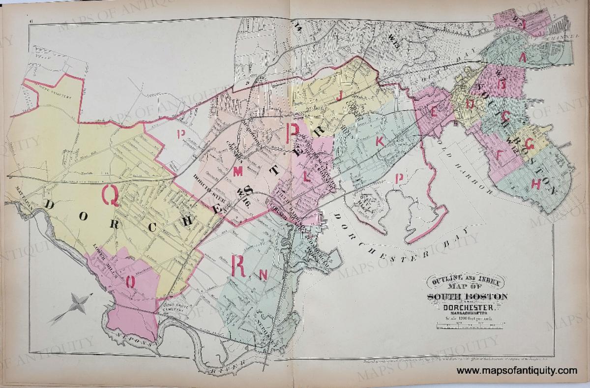
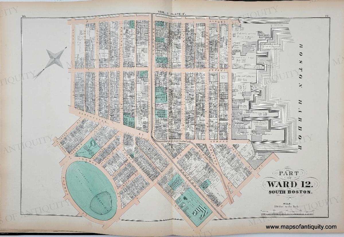
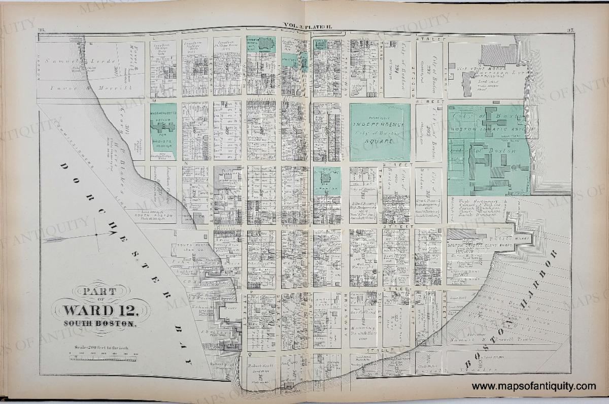
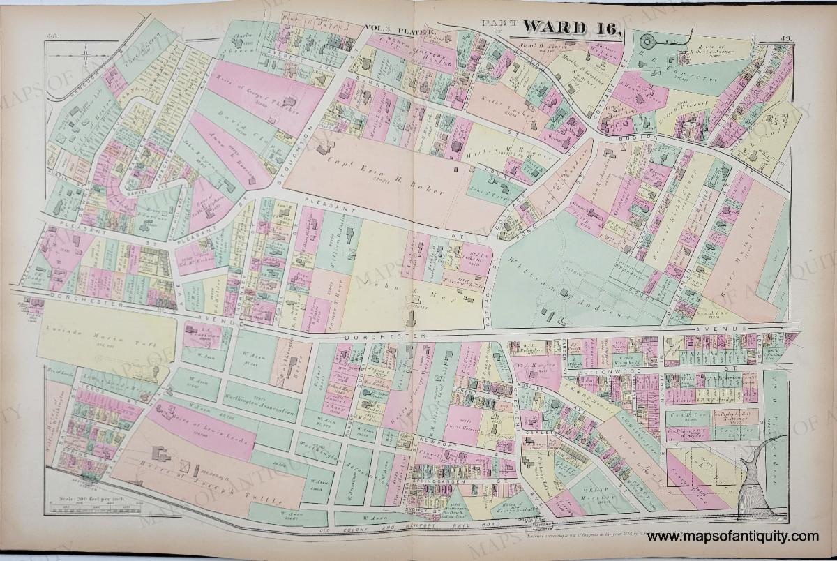
| | Maps of South Boston and Dorchester | We are excited to offer detailed maps of South Boston and Dorchester, MA by Bromley from 1874. | | Outline and Index Map of South Boston and Dorchester, Massachusetts. | | Part of Ward 12. South Boston. Plate C | | Part of Ward 12. South Boston. Plate H | | Part of Ward 16. Dorchester. Plate K | | Maps of Antiquity's 20th Anniversary! | | 20 years ago, on August 1st, Bob and Danielle purchased Maps of Antiquity (then located in West Barnstable) from Lynn Vigeant, who had started the business in 1987. To celebrate our anniversary, we will be offering special discounts in every email- just look for our special sea monster to find some monster deals! | | Click on the sea monster to browse all the maps on sale! | |
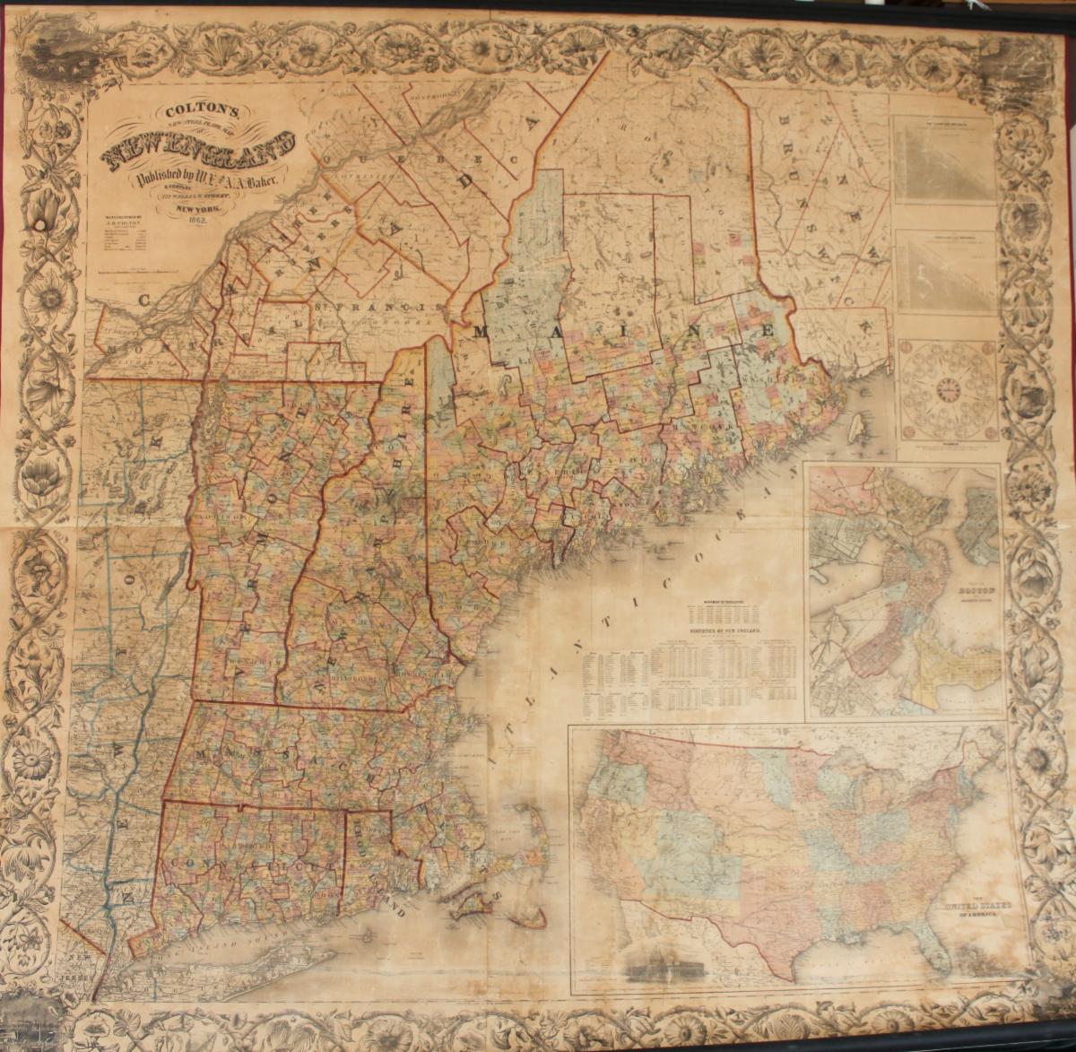
Colton's New Steel Plate Map of New England - 1862
Was $2800, now discounted to $1900!
| | |
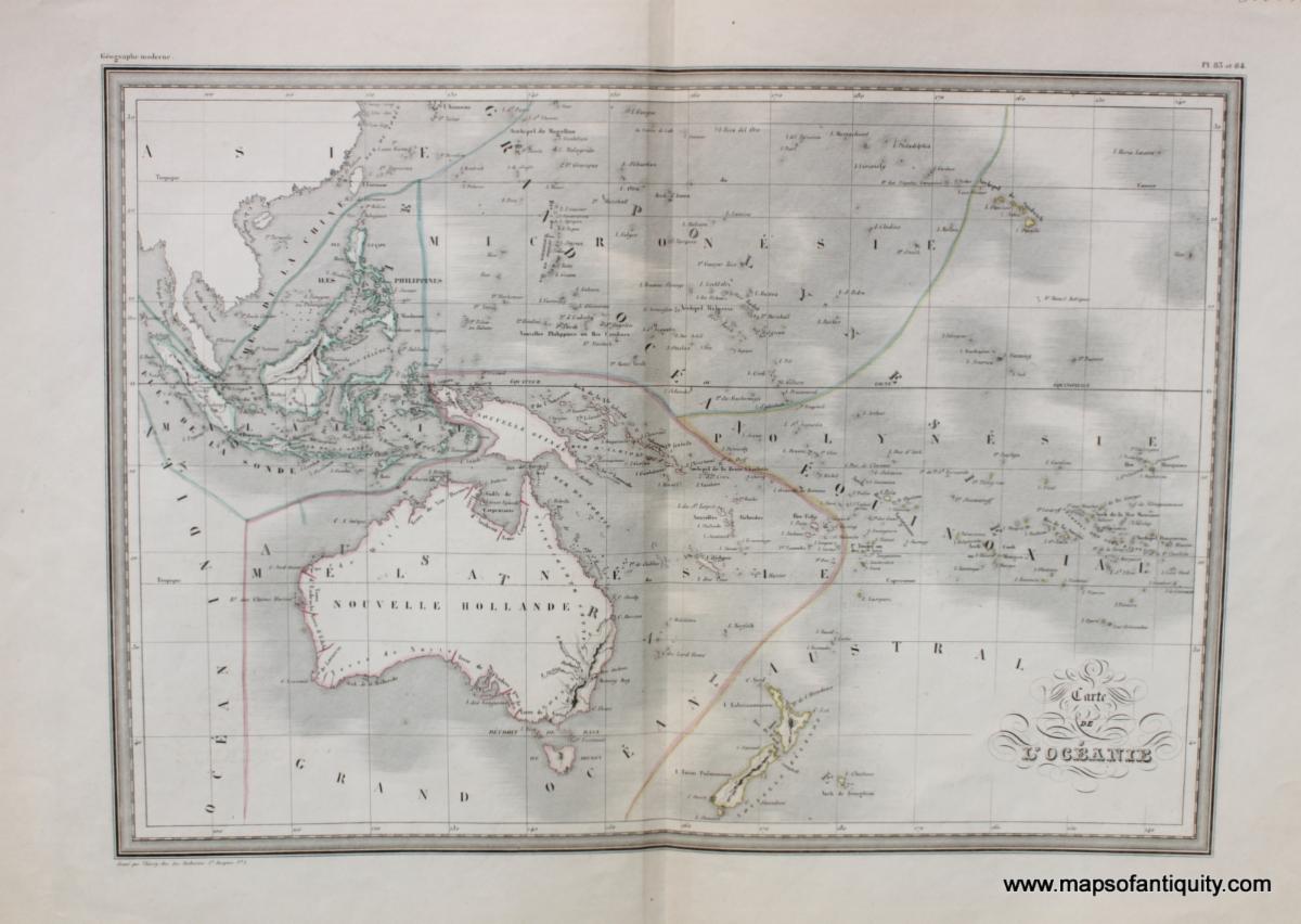
Carte de l'Oceanie. (Carte de grandeur double.) - 1842
Was $250, now discounted to $175!
| | |
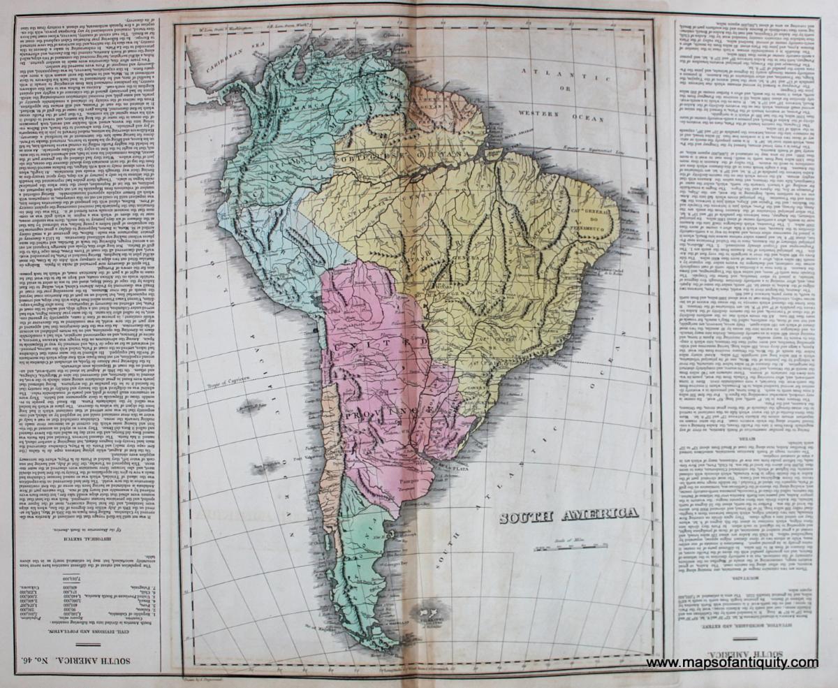
South America. No. 46. - 1822
Was $350, now discounted to $195!
| | |
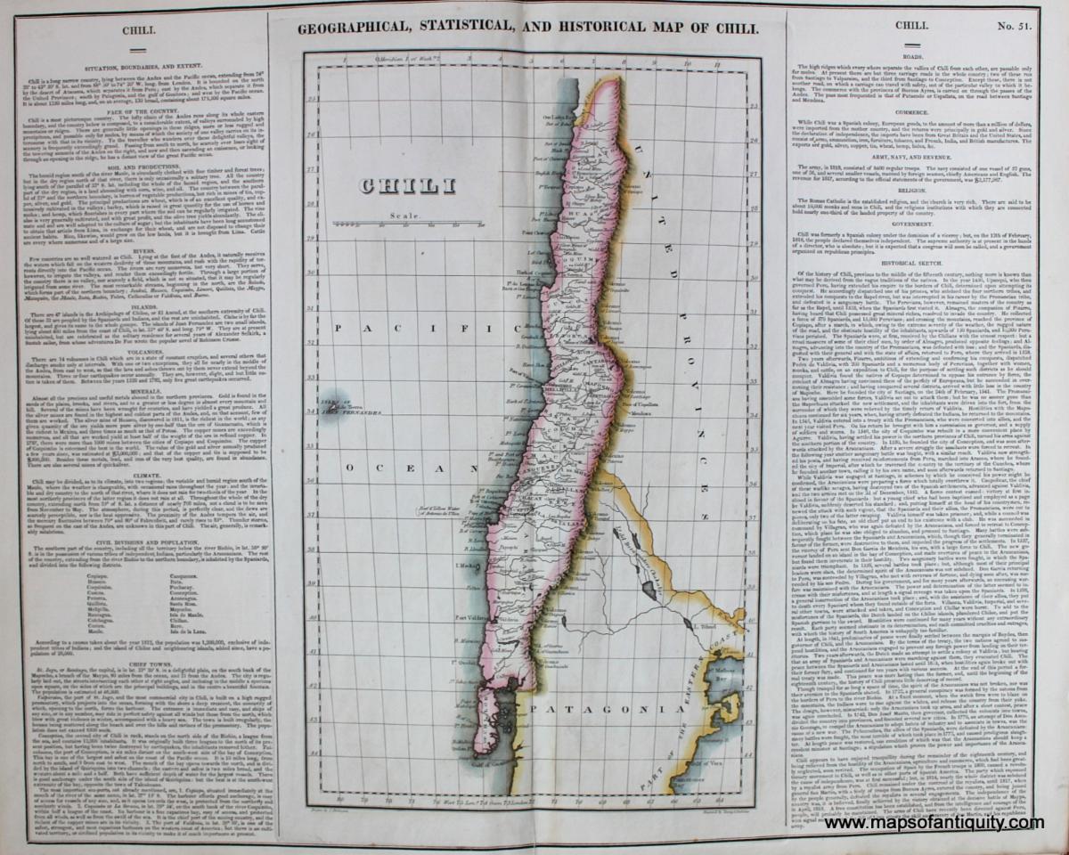
Chile - Geographical, Statistical, and Historical Map of Chili. No. 51. - 1822
Was $225, now discounted to $150!
| |
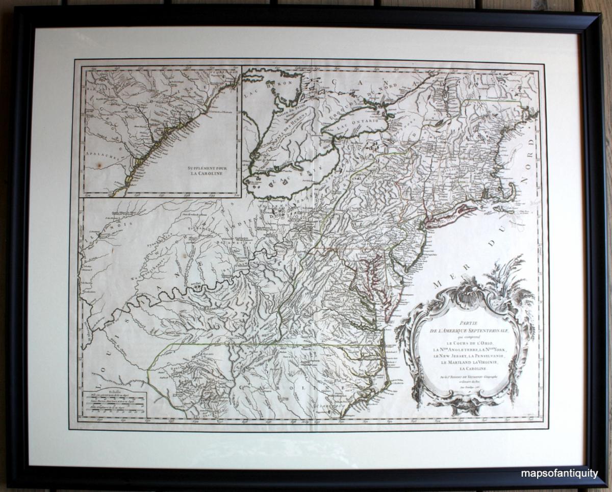
Partie de L'Amerique Septentrionale qui comprend le Cours de l'Ohio, la Nlle. Angleterre, la Nlle. York, le New Jersey, la Pensylvanie, le Maryland, la Virginie, la Caroline. - 1755
Was $1100, now discounted to $750!
| |
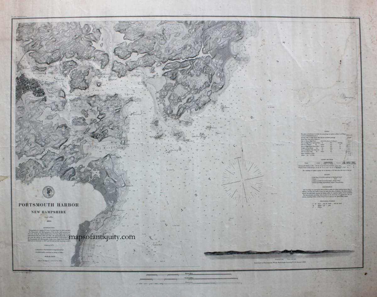
Portsmouth Harbor New Hampshire - 1884
Was $550, now discounted to $395!
| | |
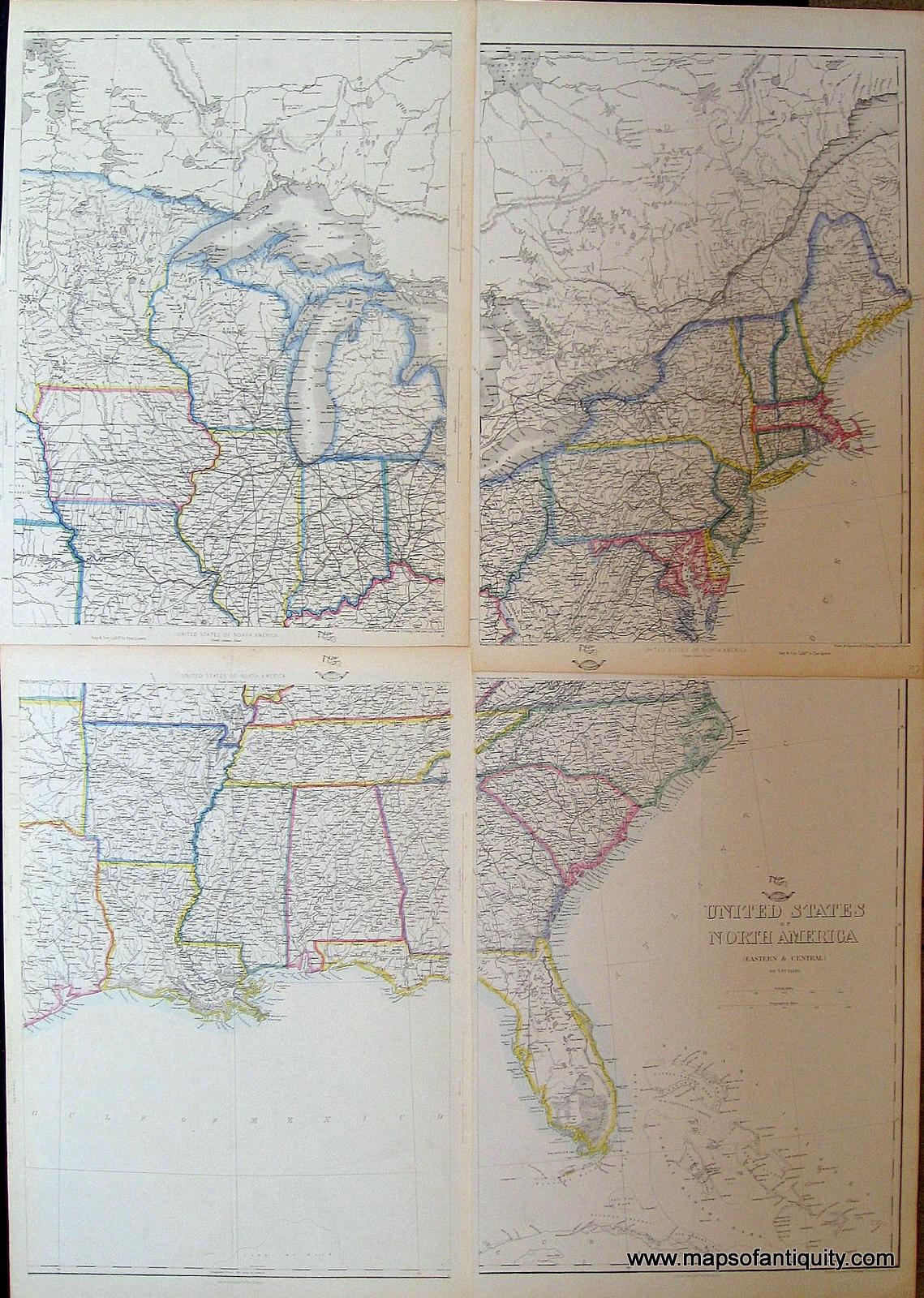
United States of North America, North Eastern Sheet, North Central Sheet, South Central Sheet, South Eastern Sheet: 107, 108, 110, 111 - 1863
Was $300, now discounted to $195!
| |
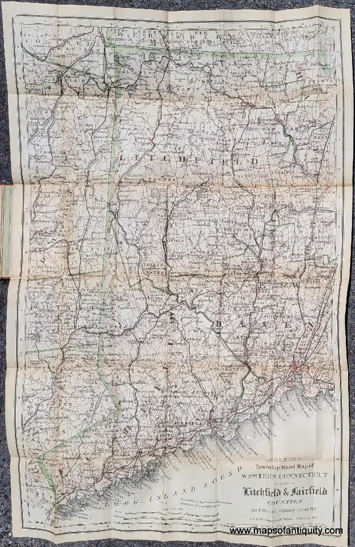
Colton's Road Map of Litchfield and Fairfield Counties of Western Connecticut - 1886
Was $450, now discounted to $275!
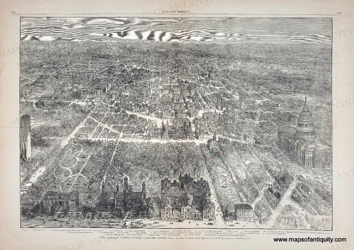
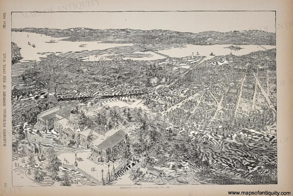
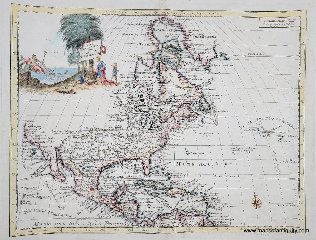
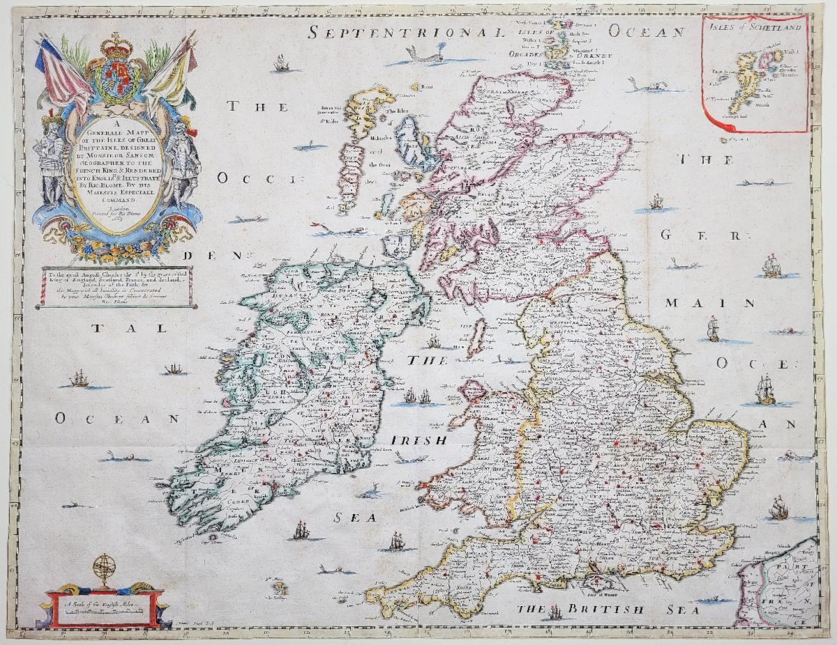
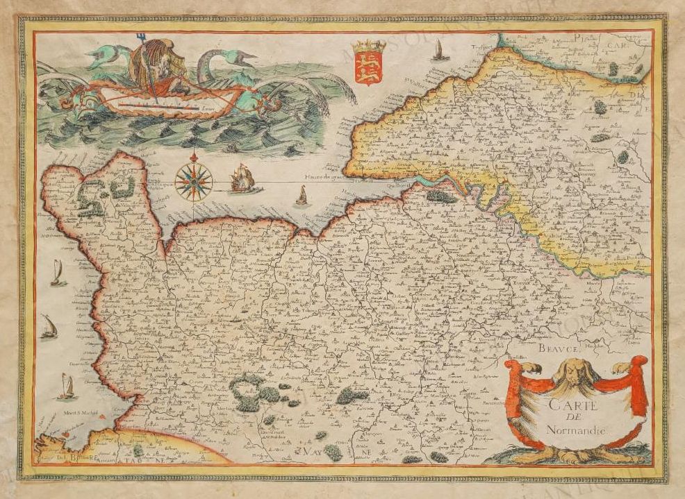
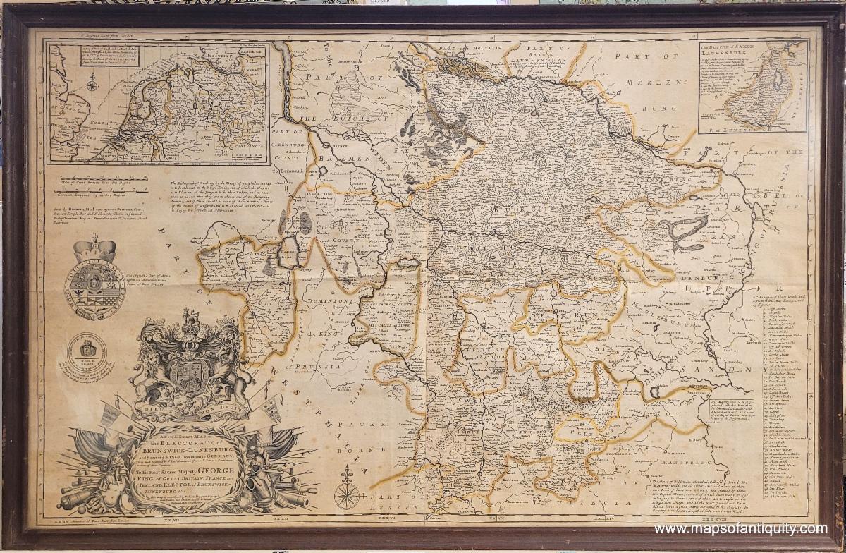
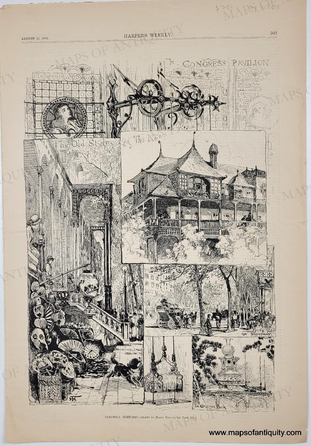
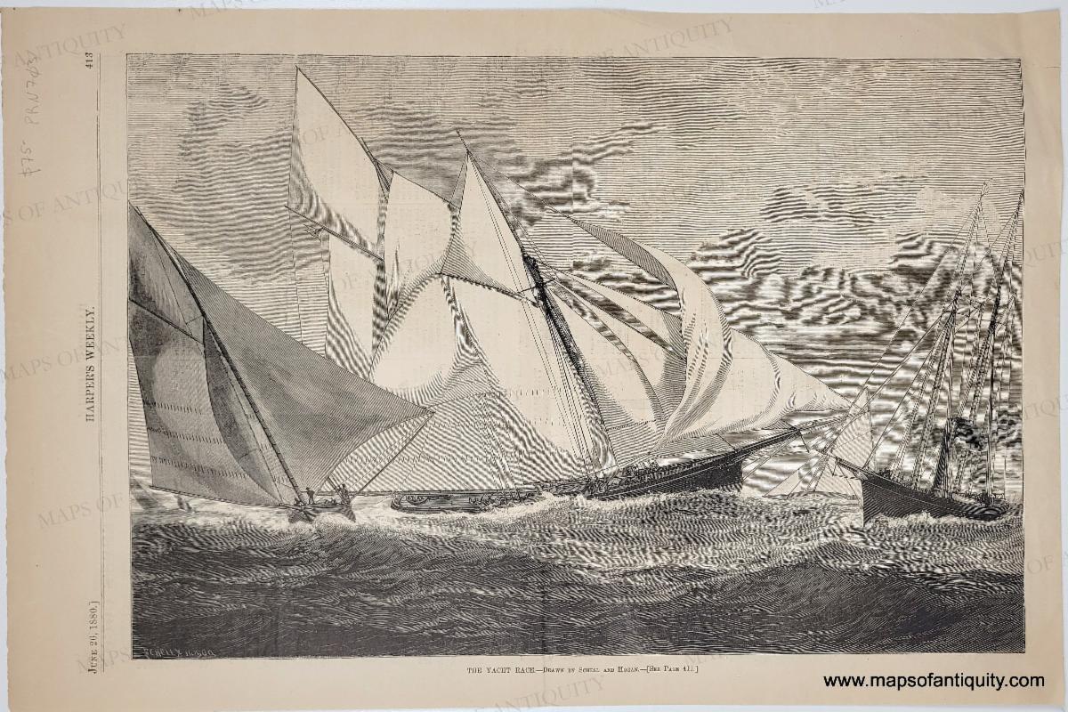
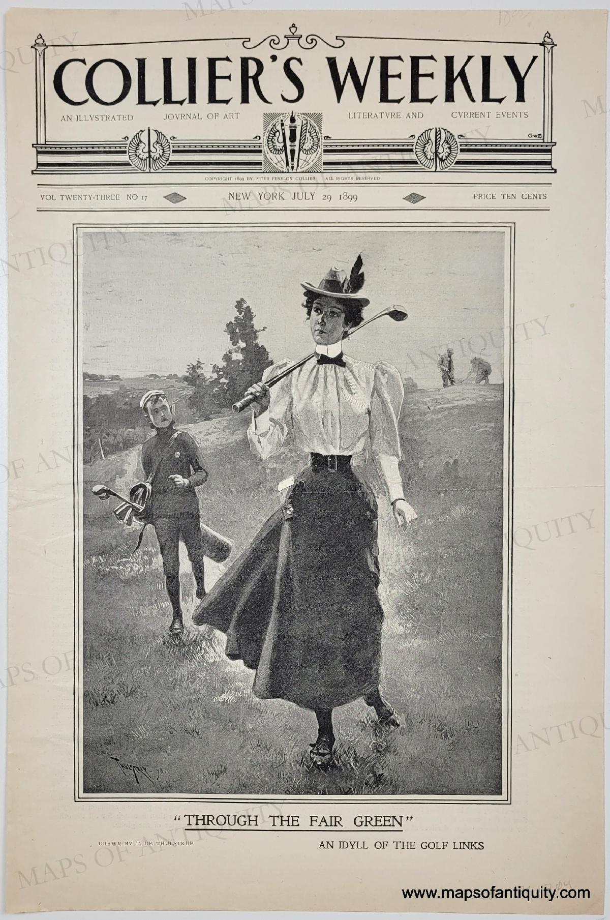
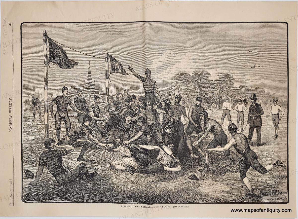
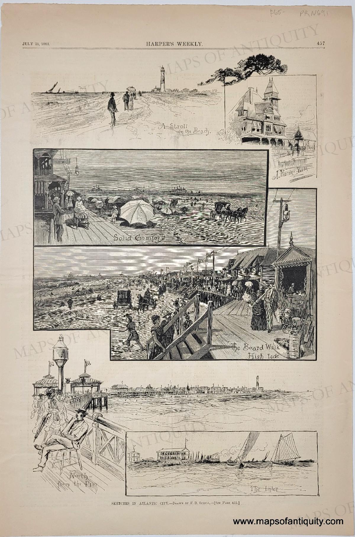
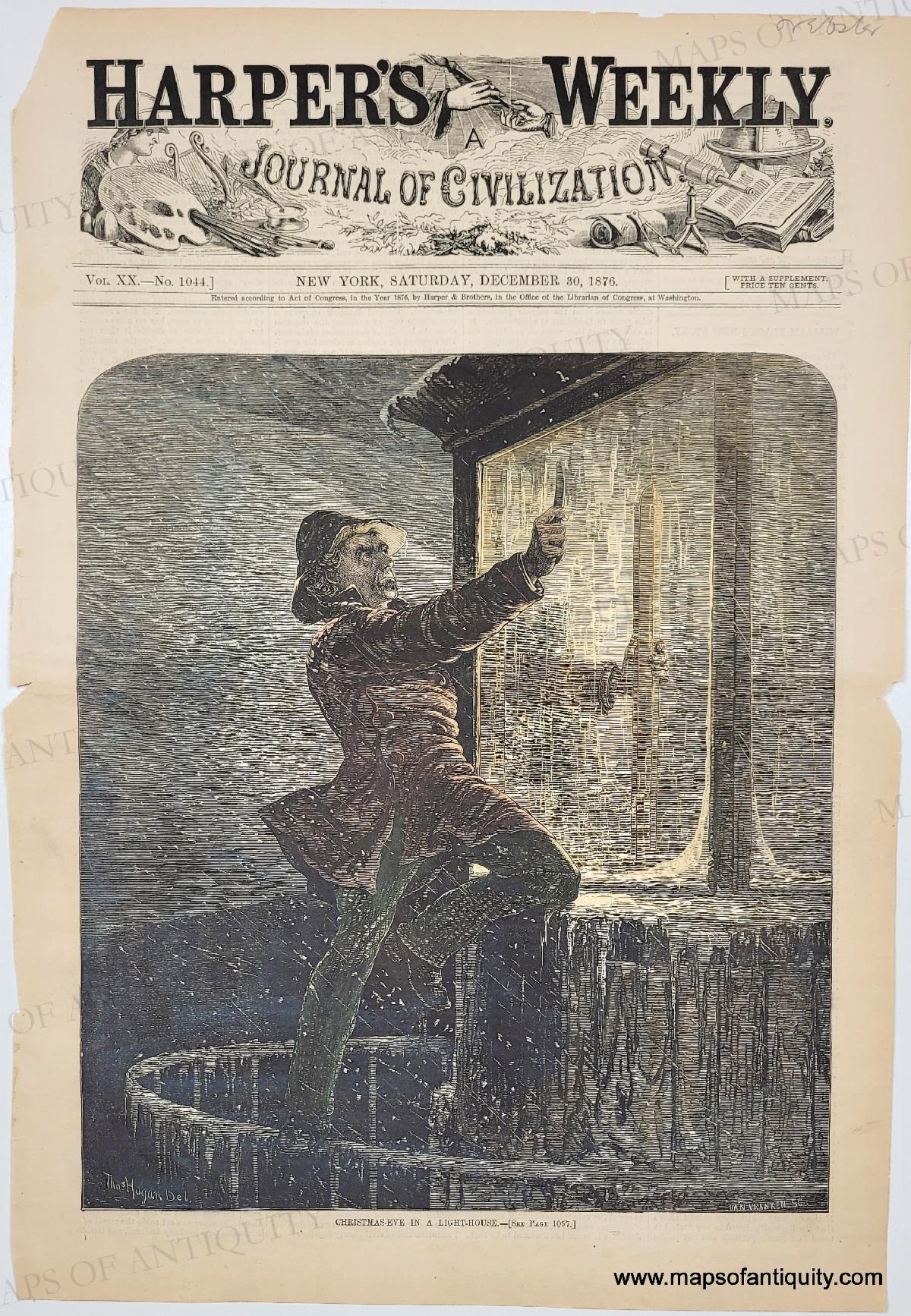
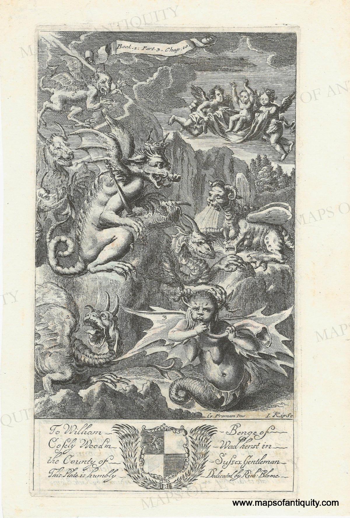
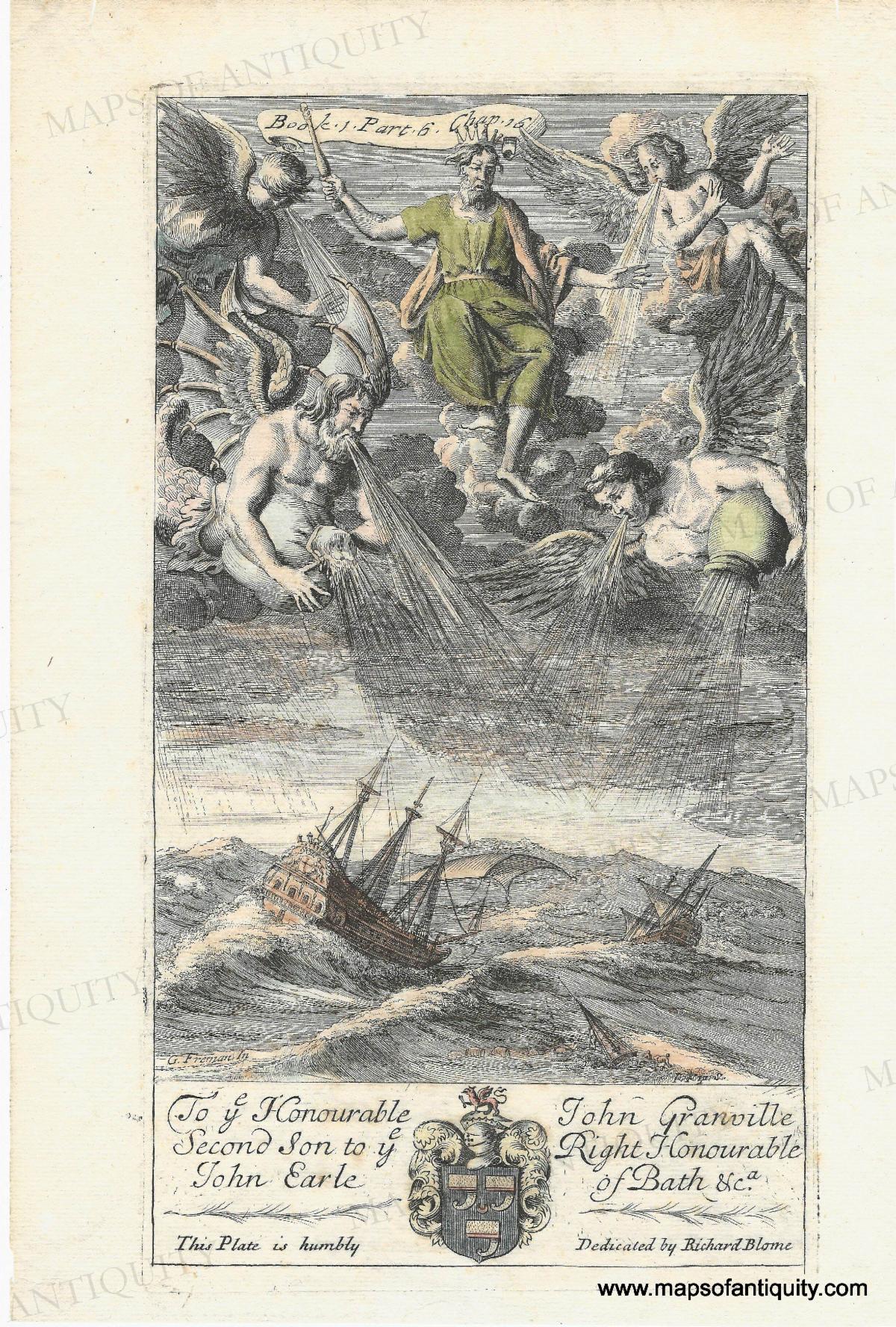
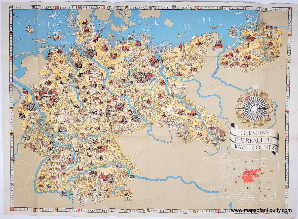
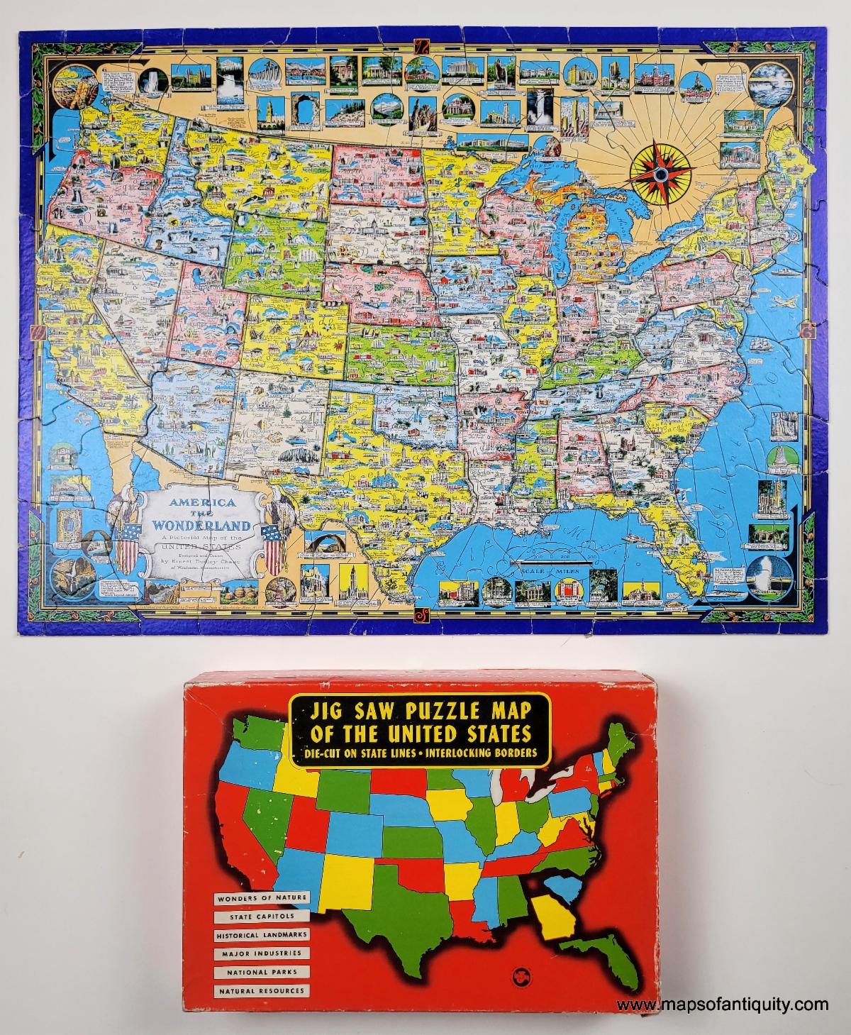
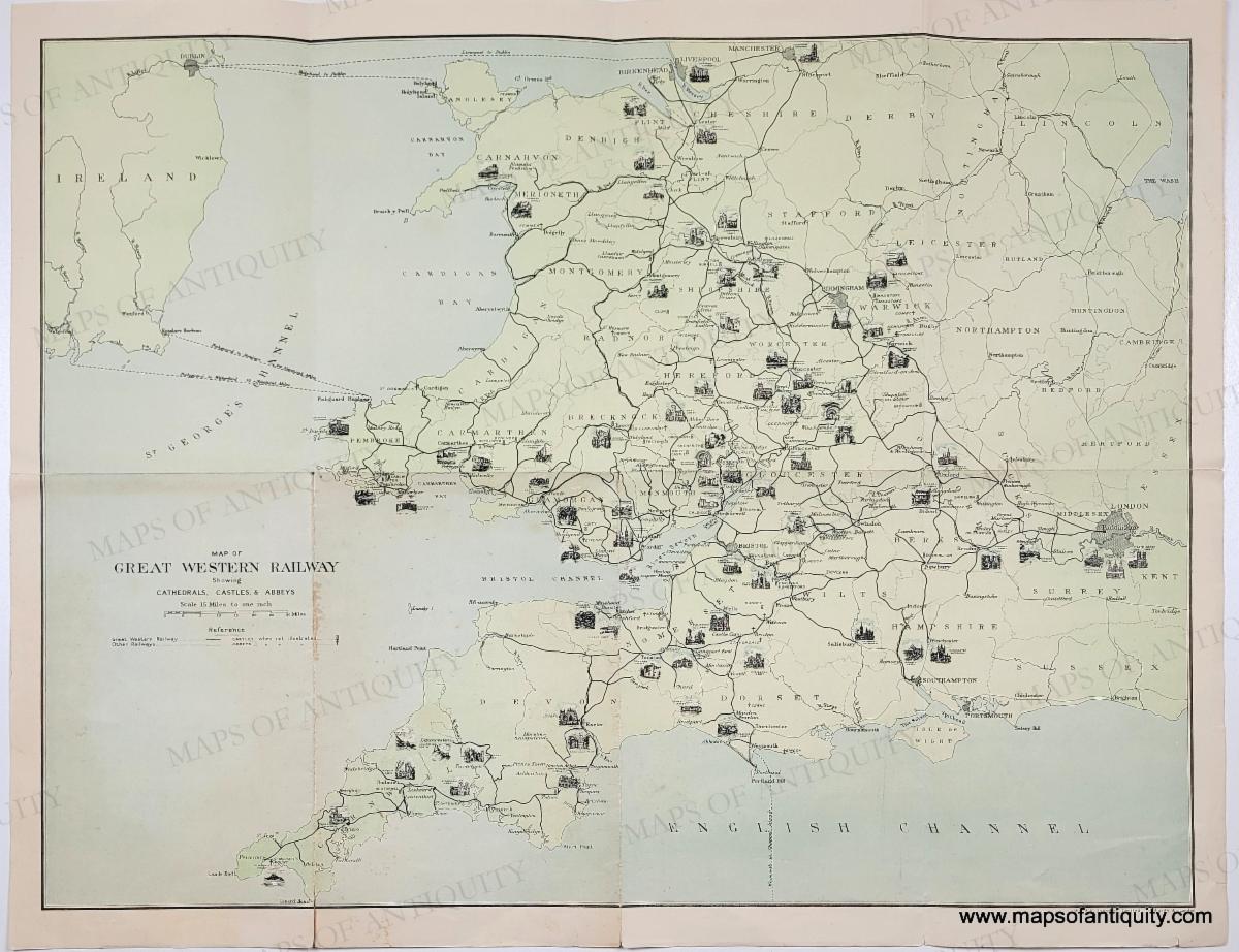
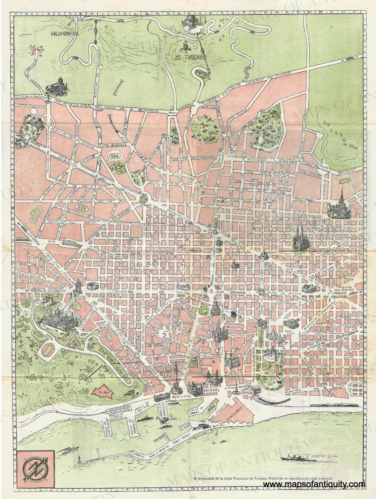
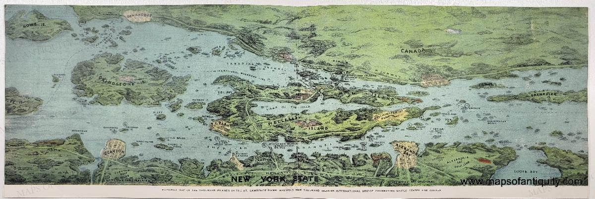
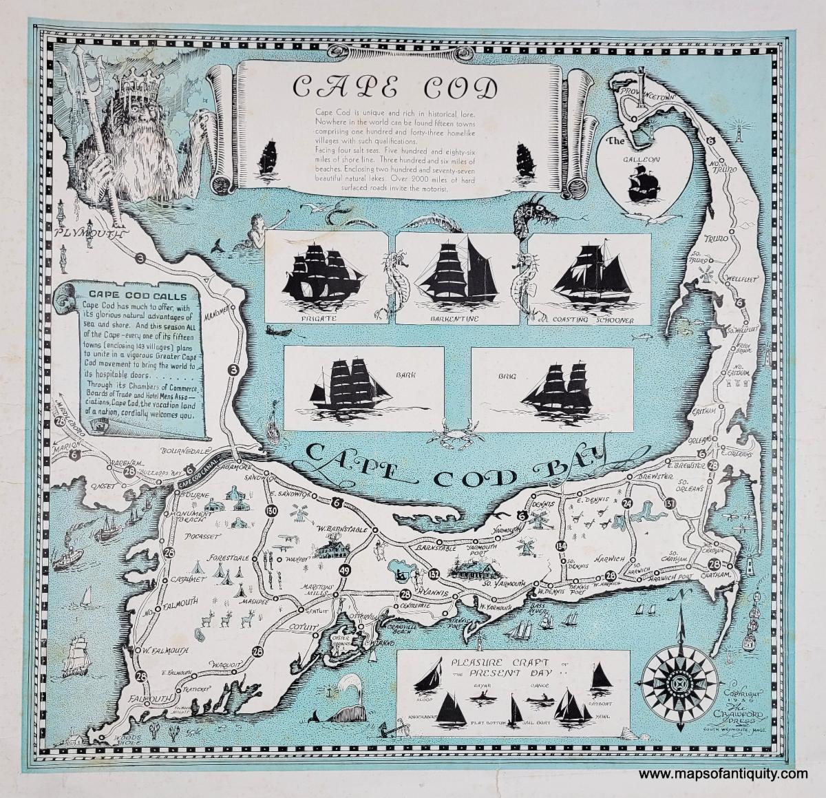
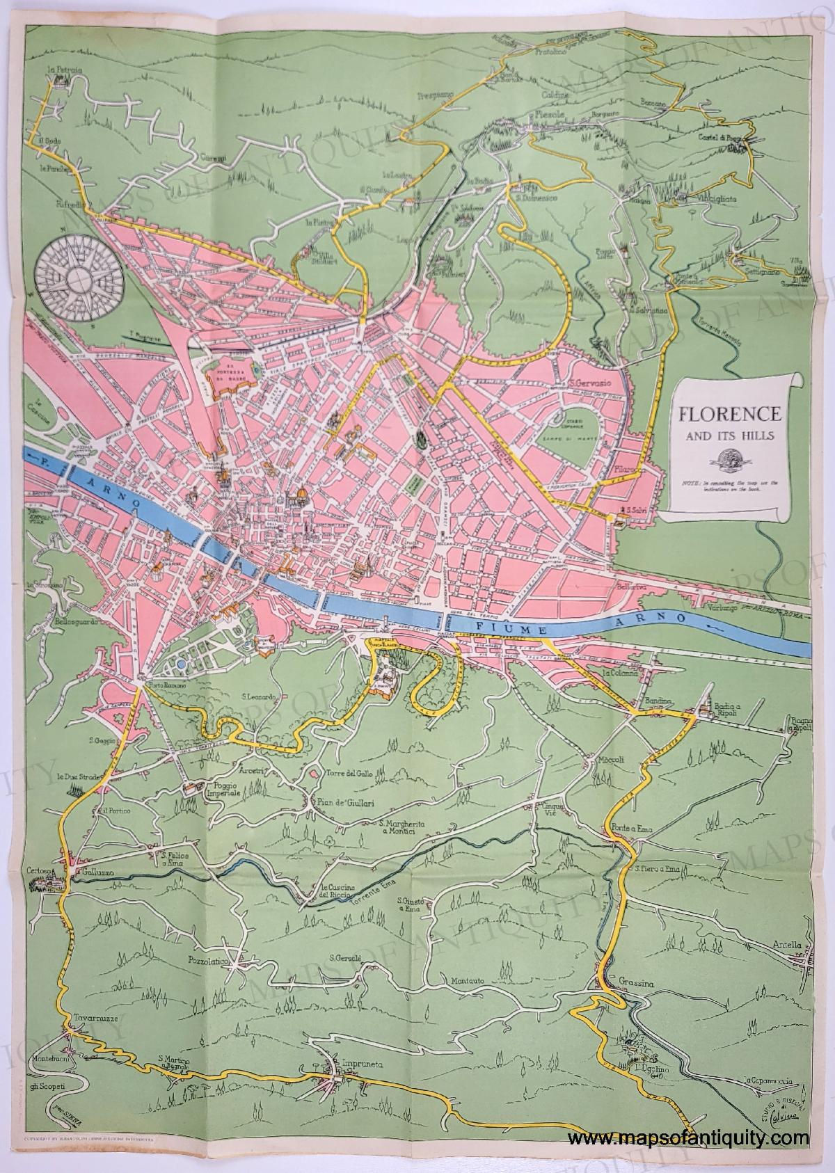
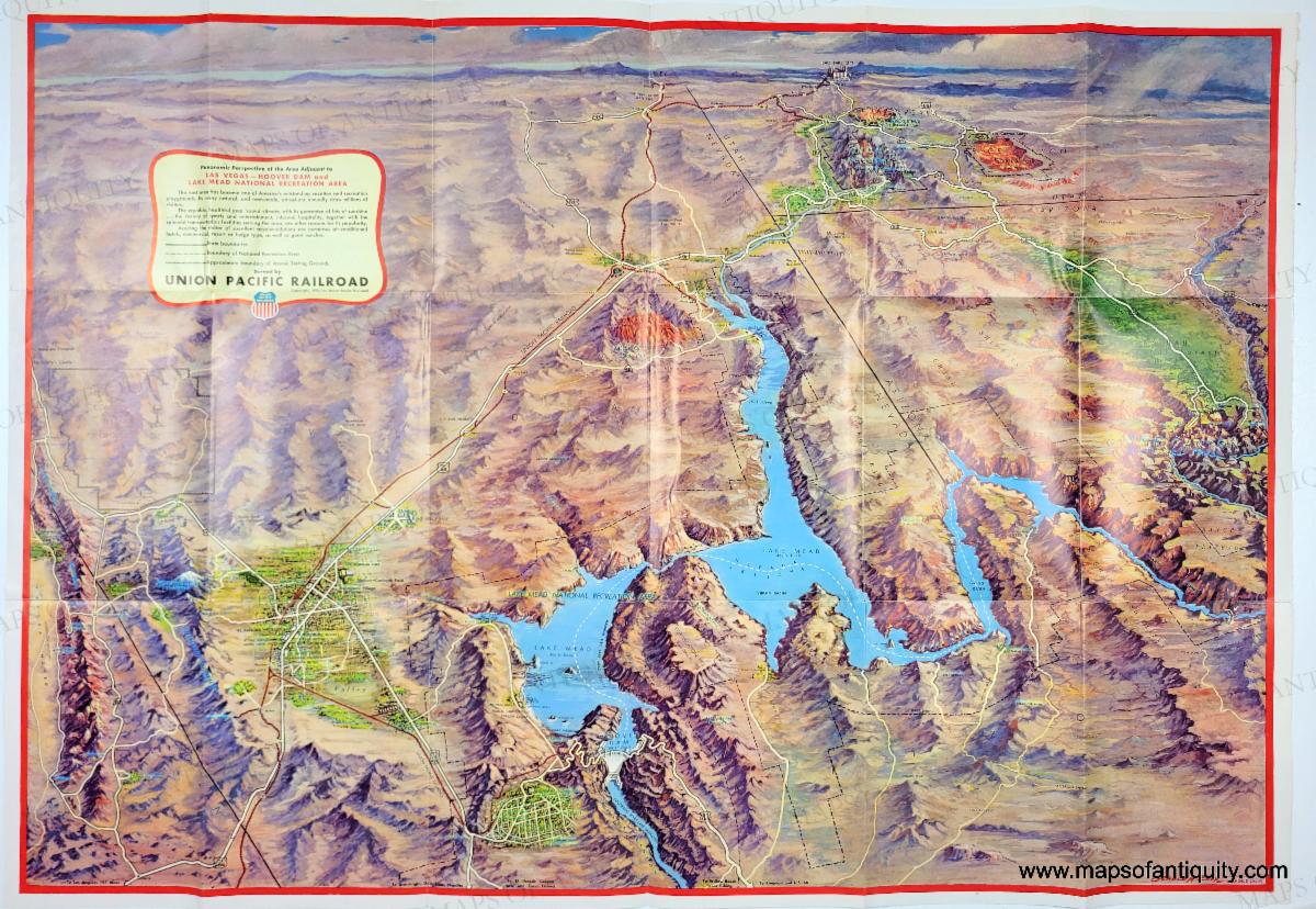
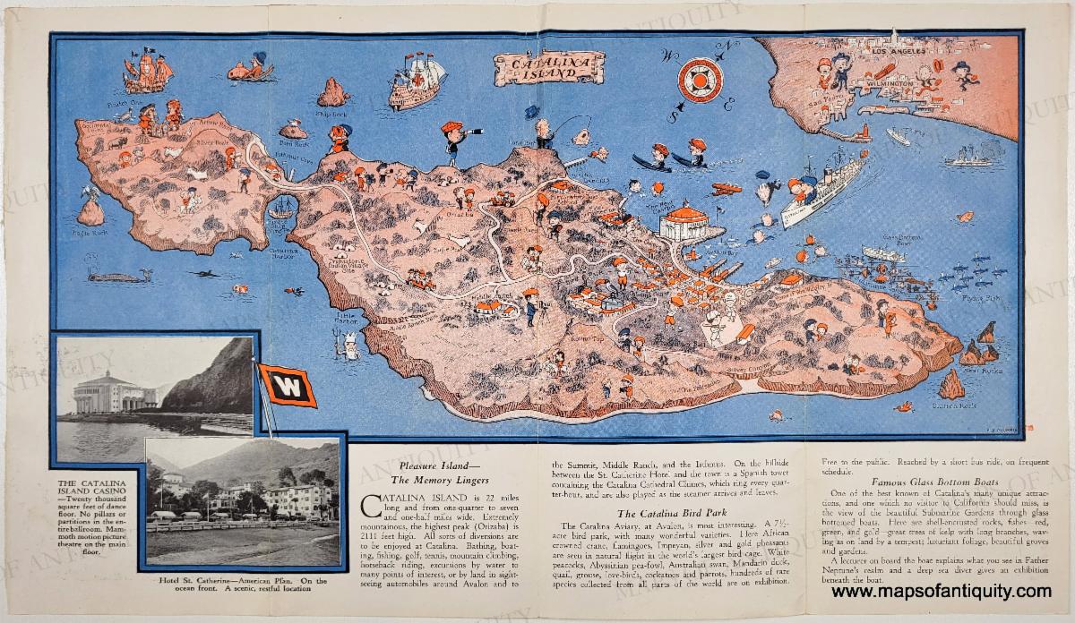
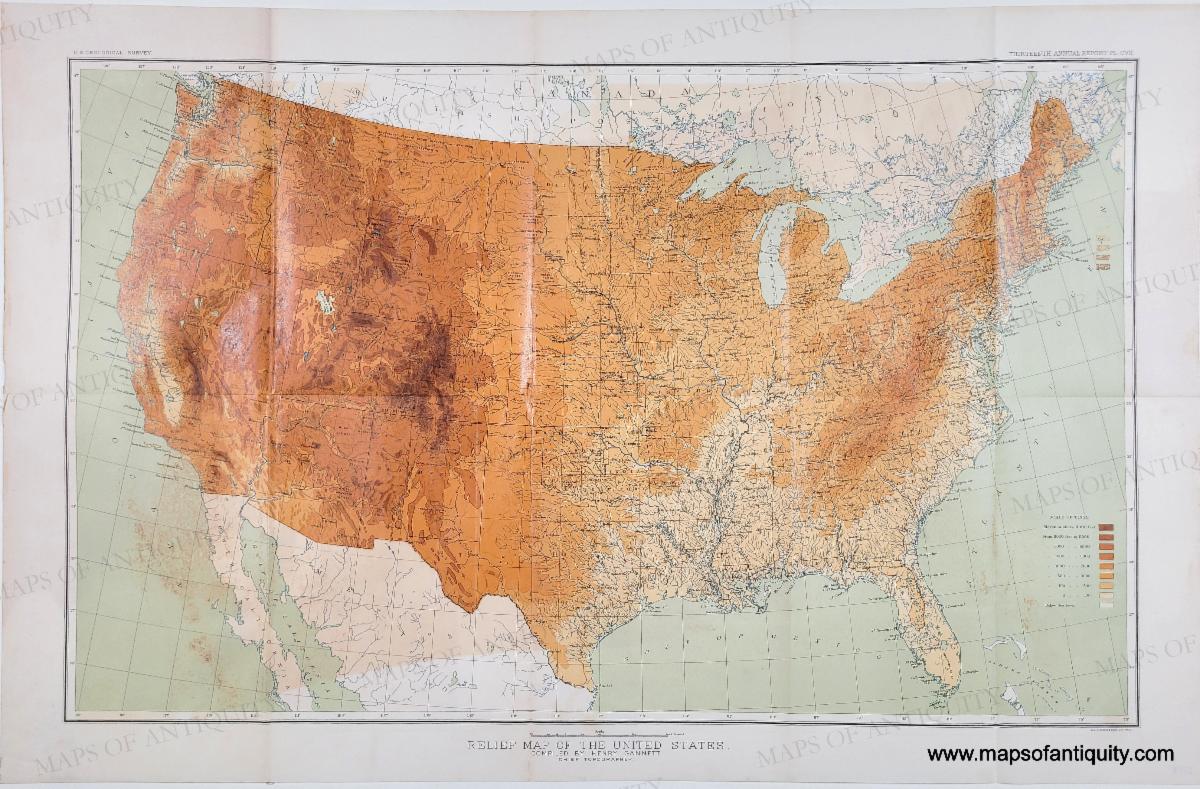
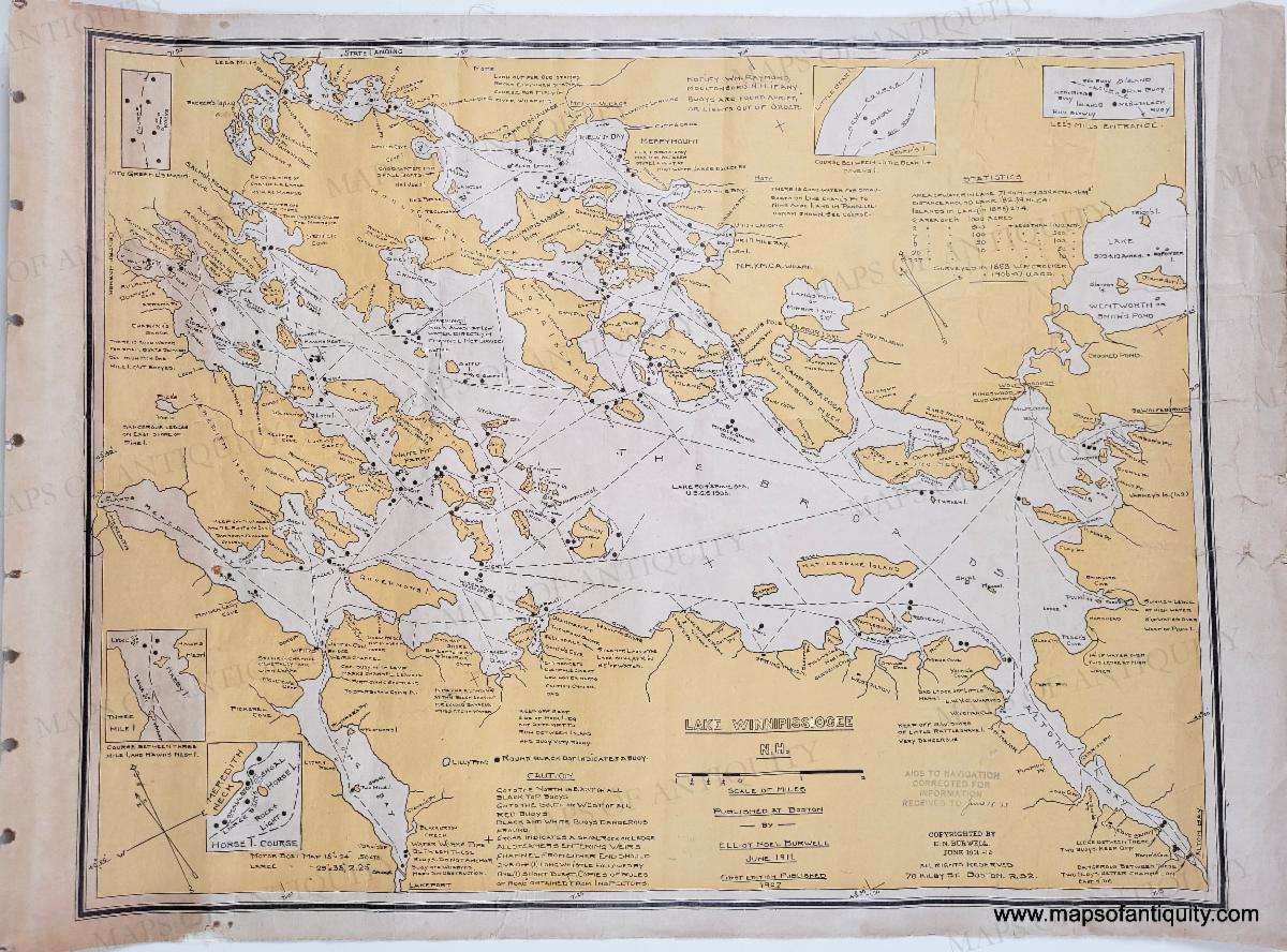
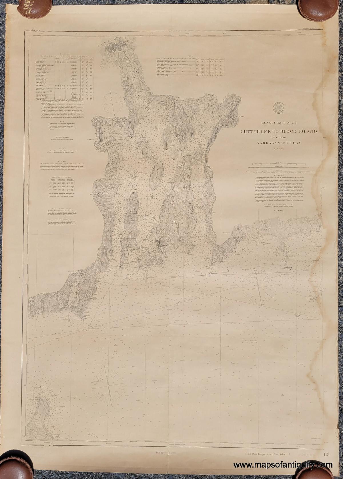
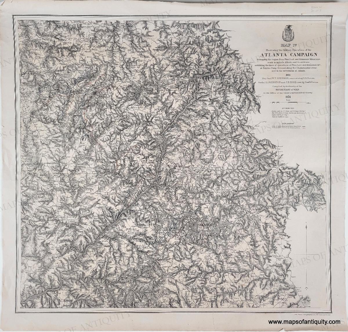
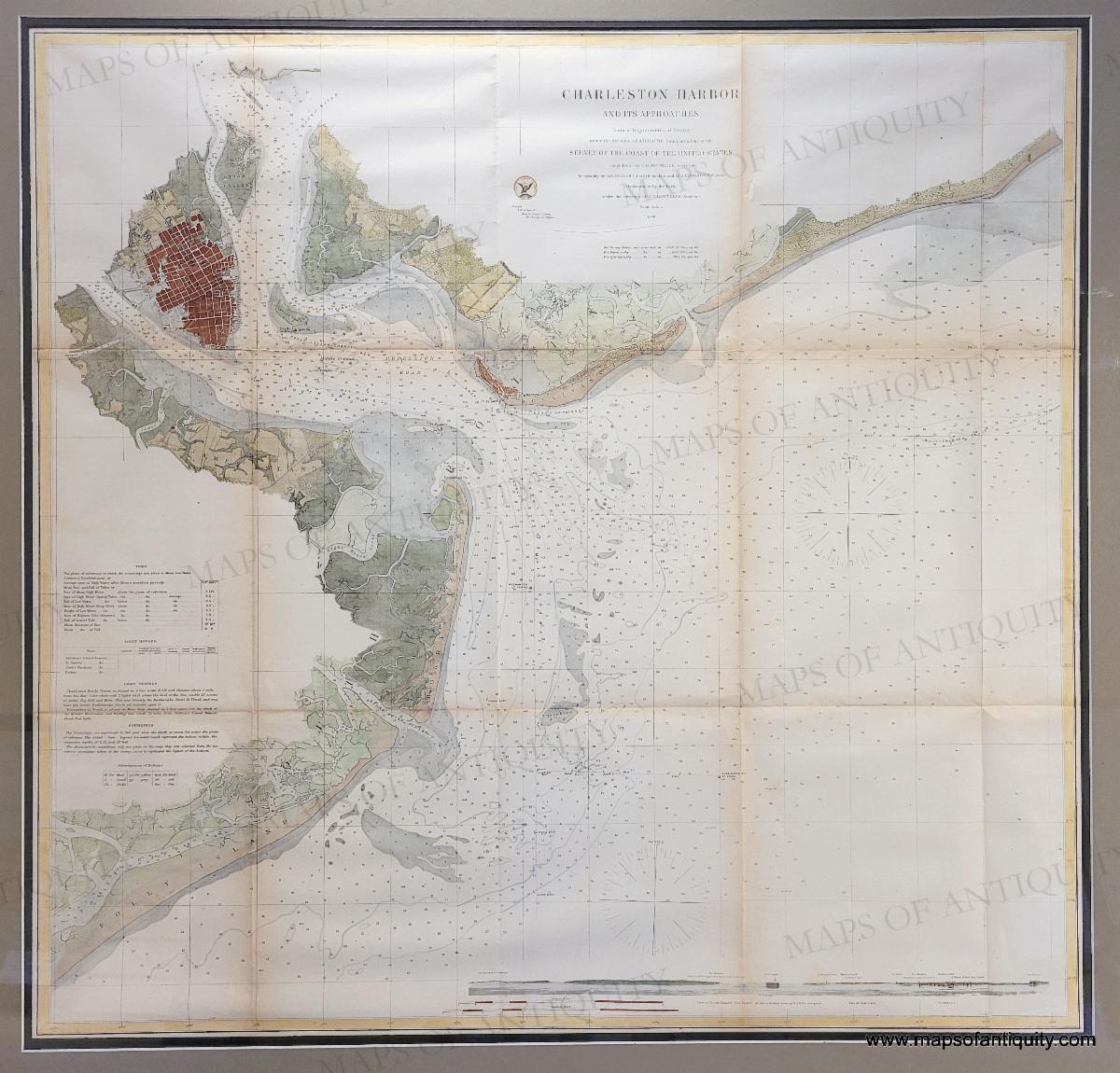
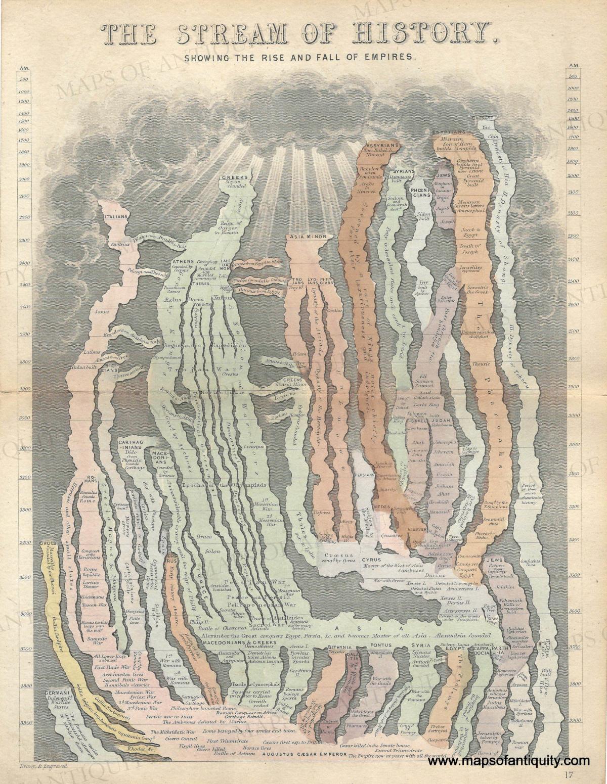
| | Two Views of Washington DC | | These two views of Washington DC offer a fascinating look at the city as it was in the 19th Century, including during the Civil War, when the dome of the Capitol Building was being constructed. | | 1882 - Our National Capital, Viewed from the South [Washington DC] - Genuine Antique Print | | 1861 / 1894 - Balloon View of Washington [DC], May, 1861. - Antique Illustration | | The artistry of early maps is undeniable. These maps feature highly detailed cartouches, illustrations, and fascinating information about what was known long ago. | | 1750 circa - Early North America - Carta Geografica delle America Settentrionale - Genuine Antique Map | | 1669 circa - A Generall Mapp of the Isles of Great Brittaine, Designed by Monsieur Sanson… - Genuine Antique Map from the first atlas to be engraved and published wholly in England, Blome's Geographical Description Of The Four Parts Of The World | | 1634 - Normandy, France - Carte de Normandie - Antique Map | | 1730 circa - A New & Exact Map of the Electorate of Brunswick-Lunenburg and ye rest of ye Kings Dominions in Germany - Genuine Antique Map | | Antique prints offer a wide variety of topics and appeal to everyone! We have recently added prints to our website related to fishing, golfing, football, sailing, and popular locations. An antique print can make a charming, personalized gift, and Father's Day is approaching! | | 1883 - Saratoga Sketches (Saratoga Springs) - Genuine Antique Print | 1880 - The Yacht Race - Genuine Antique Print | | 1899 - Through the Fair Green, an Idyll of the Golf Links - Genuine Antique Print | 1878 - A Game of Football - Genuine Antique Print | | 1883 - Sketches in Atlantic City (NJ) - Genuine Antique Print | | 1876 - Christmas Eve in a Lighthouse - Genuine Antique Print | | Illustrations from An Entire Body of Philosophy According to the Principles of the Famous Renate Des Cartes by Descartes and Le Grand, 1694. This is a comprehensive English translation of Antoine Le Grand's Cartesian system, edited by Richard Blome. | | A playful and colorful pictorial map brings delight to all who see it! Some of these maps are so detailed, you will likely see something new every time you look at it. And your friends and family will have great fun looking closely at all the illustrations! | | 1935 - Germany The Beautiful Travel Country - Genuine Antique Map | | 1945 circa - America the Wonderland Jig Saw Puzzle Map of the United States - Genuine Vintage Map Puzzle | 1925 - UK - Map of Great Western Railway Showing Cathedrals, Castles, & Abbeys - Genuine Antique Map | 1953 - Barcelona - Genuine Map | 1937 - Pictorial Map of the Thousand Islands in the St. Lawrence River, showing New Thousand Islands International Bridge connecting United States and Canada - Genuine Antique Booklet with Map | | 1936 - Cape Cod - Genuine Antique Map | 1950s - Florence and its Hills - Italy - Genuine Original Map | 1953 - Panoramic Perspective of the Area Adjacent to Las Vegas - Hoover Dam and Lake Mead Recreational Area - Original Map | 1930 circa - Catalina Island (Santa Catalina, California) - Genuine Antique Map | | Other Newly Added Antique Items | | We wish we could highlight every item newly added to the website, but this email would become overwhelmingly long! Be sure to click the button below to browse every item we have put on our website recently! | | 1892 - Relief Map of the United States. Compiled by Henry Gannett. - Genuine Antique Map | 1911 - Lake Winnipissiogee N.H. [ Winnipesaukee ] - Genuine Antique Map | 1880 / 1890 - Coast Chart No. 113 Cuttyhunk to Block Island including Narragansett Bay - Antique Chart | | 1874 - Map IV Illustrating the Military Operations of the Atlanta Campaign - Genuine Antique Map | 1866 - Charleston Harbor and Its Approaches (SC) - Antique Chart | 1850 - The Stream of History Showing the Rise and Fall of Empires - Genuine Antique Map | | |
Our current hours:
Monday- Saturday 10am - 5pm.
Sundays 12pm - 5pm.
You can shop online any day, any time: mapsofantiquity.com
Or give us a call at: 508-945-1660
If you or your loved-ones need accommodations, send them to our converted 18th century farmhouse, Chatham Guest Rooms. We have been very well reviewed on TripAdvisor!
Visit Old Cape Cod! Book your stay now at Chatham Guest Rooms. The rates are reasonable and you will be staying in the building that is home to Maps of Antiquity. You can pop in to look at maps quite easily during business hours. We rent rooms year 'round!
| | Maps of Antiquity | 508-945-1660 | 1409 Main St, Chatham MA | Website | | | | |