View as Webpage

OCTA Logo and I-5 Improvement Project Logo on top of a faint image of the I-5 Freeway.

As of Sept. 14, 2026

有關此項目的更多信息,請聯繫 I-5 社區服务團隊,郵箱為 i5Project405to55@octa.net 或電話 888-209-5555,或查看 octa.net/i-5project.


이 프로젝트에 대한 자세한 내용은 I-5 Community Outreach Team에 이메일(i5Project405to55@octa.net) 또는 전화(888-209-5550)로 문의하시거나, octa.net/i-5project를방문해주시기바랍니다.

NIGHTLY SB I-5 CLOSURES FOR OVERHEAD SIGN REMOVAL

Nighttime activities are expected to start for the removal of overhead signage on southbound (SB) I-5. This work requires nightly full closures of:


  • SB I-5 between Barranca Parkway and Sand Canyon Avenue
  • SB I-5 Connector to SB SR-133
  • SB I-5 Sand Canyon Avenue on-ramp
  • Northbound (NB) I-5 carpool (HOV) lane adjacent to the center median


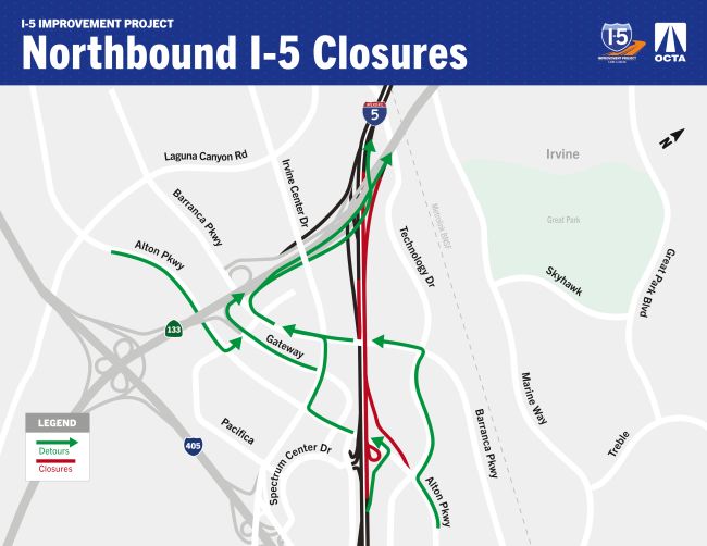
For more information on these closures and associated detours, please view the detour map above, the Google Interactive Map, or plan your route using the Waze navigation app.


Anticipated Schedule

Tuesday, Sept. 15 and Wednesday, Sept. 16.


Anticipated Work Hours

Nighttime: As early as 10 p.m. to 5 a.m.

SB lane closures start as early as 9 p.m., followed by the full closure at 10 p.m.


Please note: To account for daytime traffic impacts, overhead sign removal activities are scheduled during nighttime hours.


*This work may be loud and ongoing. The schedule is subject to change due to inclement weather or unforeseen operational issues.


*Freeway and street lane closures will occur regularly throughout the duration of the project's construction. At least one lane will be open to traffic at all times, unless otherwise specified. See closure section above for more information.

 
""
 

Google Map

 
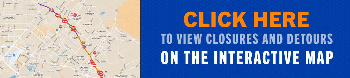
Click on this image to view construction activities on the project interactive map.
Image is of a clipboard with a traffic cone on it to encourage people to click on the link next to it to view a detailed closure list

To view and print a detailed list of closures and detours, CLICK HERE!

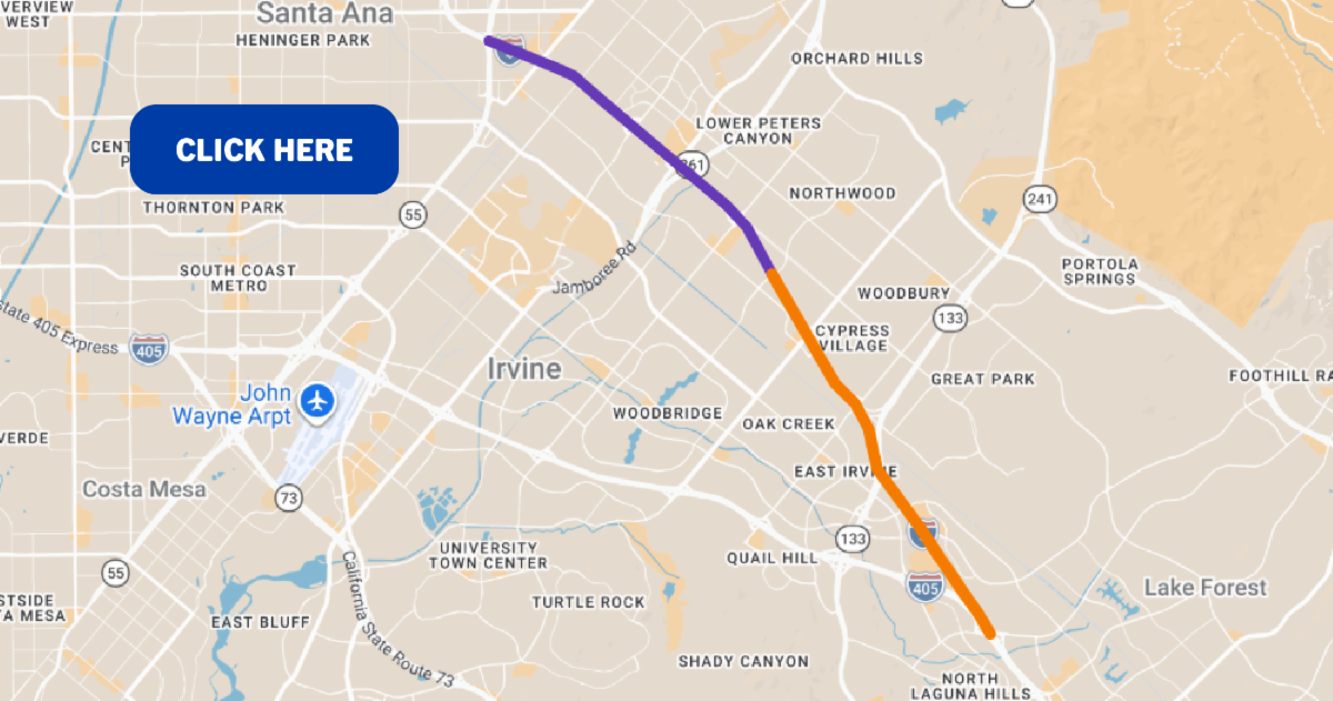
A clickable preview of the I-5 Improvement Project area on Google Maps. Click this image to view the interactive map on Google Maps.

View the latest closures and detours using our Google Interactive Map, or plan your route using the Waze navigation app. Bookmark the closures and detours map above for quick access to real-time construction information. Click on the construction icons to view activities and closure and detour information. Plan for additional travel time through the area. Detour signs will be in place to assist motorists.

Stay Connected


We invite you to sign up for project updates so you’ll be the first to know about upcoming construction activities, traffic changes, and community meetings and when we’ll be out in your community at local events - we hope you’ll stop by and say hello!


This screenshot outlines the I-5 Improvement website where constituents can sign up to receive Project Updates.
 

About the Project

Project Map

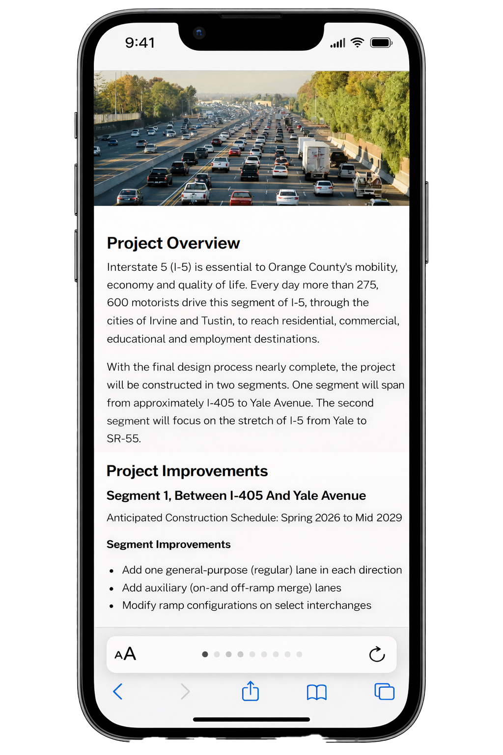
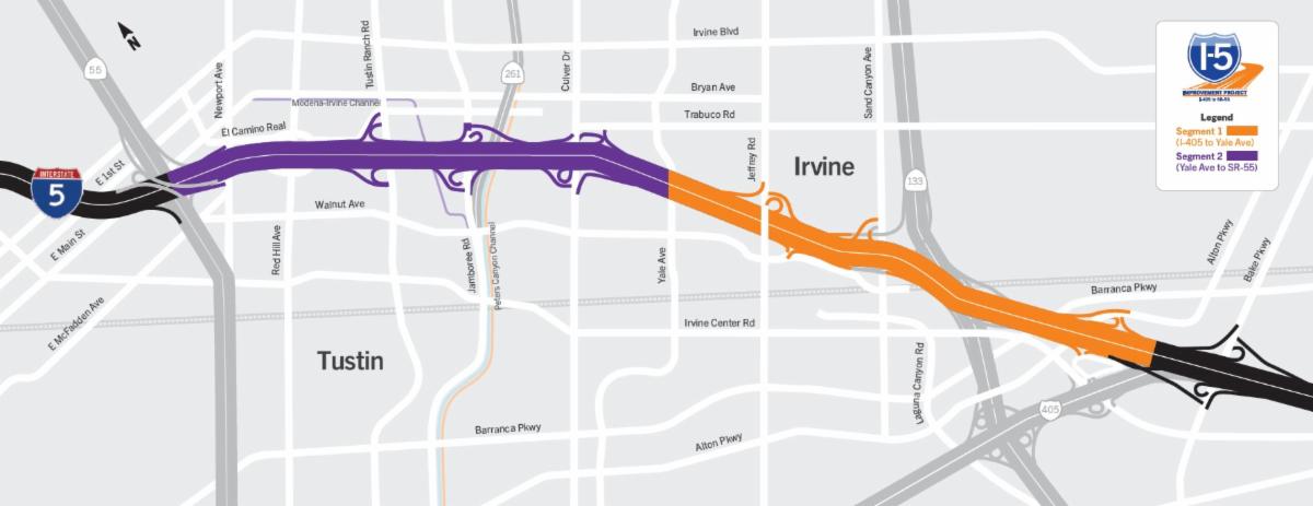
A horizontal map of the I-5 Improvement Project in Irvine and Tustin. Click the map to view it as a PDF.

Click to view a larger map

Click to view vertical map on a mobile device

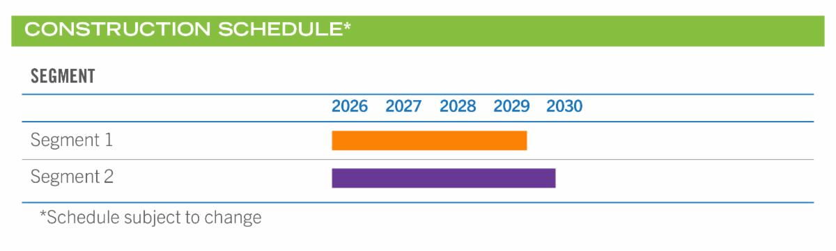
A chart displays the Construction Schedule. Segment 1 is anticipated to be complete in late 2029. Segment 2 is anticipated to be complete in mid-2030. The schedule is subject to change.

For more information, view the Project Website and Fact Sheet:

" "
 
An illustration reads "Follow us on socials!" next to a cell phone on top of an orange background.

STAY CONNECTED

Facebook    X    Instagram    Web

i5Project405to55@octa.net

(888) 209-5550

octa.net/I-5Project

 
A footer image displays OCTA, Caltrans, US Department of Transportation and Building CA logos in a horizontal row..