Surveying with a Drone - Step 3
"A Step-by-step process"
Surveying with a Drone (a.k.a. UAV, UAS, sUAS). These acronyms have specific technical meanings however in the context of this article they are synonymous to the commonly used name of Drone.
To survey with a Drone several things need to be in place as follows:
- FAA Part 107 Remote Pilot License (Step 1)
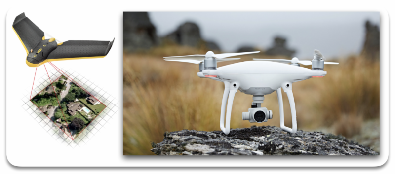
- A fixed or rotary wing Drone (Step 2)
- Photography and Ground control (Step 3)
- Desktop or online mapping software (Step 4)
Step 3
There are several real time surveying mapping products that are available via drone technologies.
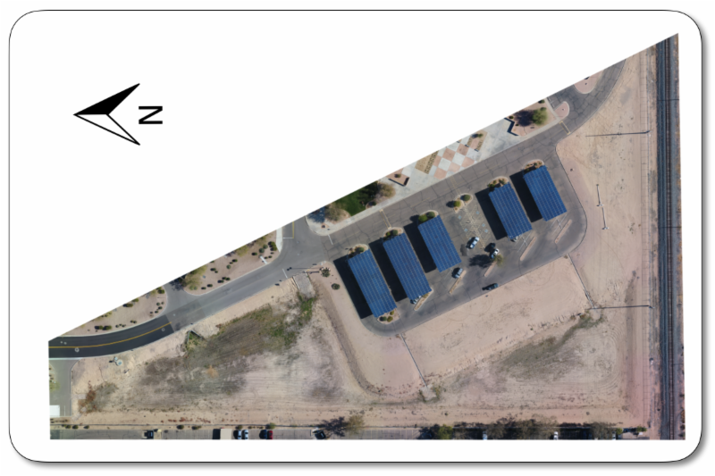
Orthomosaic
The orthomosaic generation is based on orthorectification. This method removes the perspective distortions from the images using the 3D model. A high number of matches/keypoints are required to generate the 3D model. This method handles all types of terrain, as well as large datasets. Distances are preserved and therefore the orthomosaic can be used for measurements. The orthomosaic can be further enhanced by utilizing Ground Control Points on a defined horizontal and vertical datum.
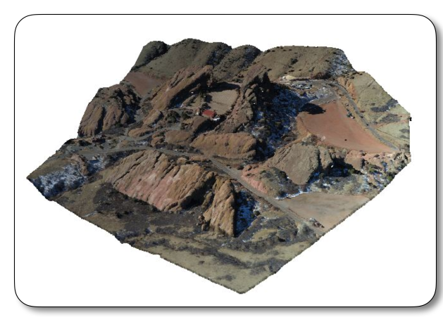
3D Digital Terrain Model & Point Cloud
A DTM and Point Cloud are a set of data points in a defined coordinate system. These data formats contain millions of data points. Specialized software is required to utilize these file types such as Civil 3D and MicroStation. Ground Control Points on a defined datum are required for a 3D DTM and Point Cloud models. Cross sections and contour maps can be generated from this data.
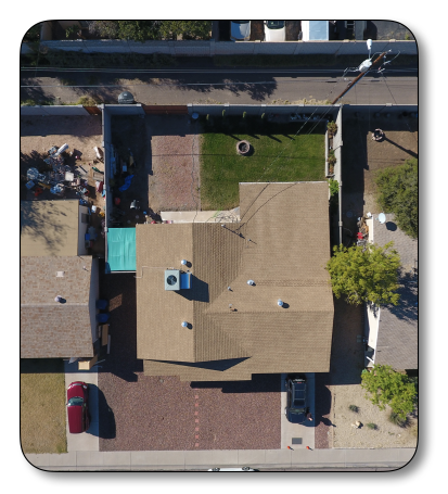
Site specific HD images
Being able to take high definition images of structures such as drainage features, bridges, buildings, streets and so forth has a huge benefit for design purposes as well as documentation of existing features.
Video documentation
With drone technologies, project sites can now be documented with video's of the before and after construction. A review of a video can answer many questions i
f and when questions arise during the design/surveying process.
|
|
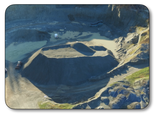
| Golf Course Construction Site |
Spoil pile volumes
It's never been easier to measure the volume of a spoil pile. Simply take a high definition image above the spoil pile and let the software process it for a volume calculation.
360° Panoramas
The 360° interactive panoramas are so cool. It is a quick way to get a view of the project site from above the ground on your smart device and desktop browser.
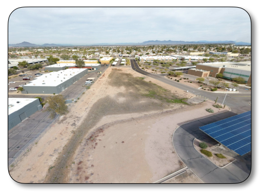
Take a look at this panorama of the survey field lab location at EVIT.
There are other non-surveying benefits such as building & tower inspections, movie productions, monitor farming activities, search and rescue just to name a few.
______________________
The old adage that "a picture is worth a thousand words" never had a better meaning than today with the drone technology.
______________________
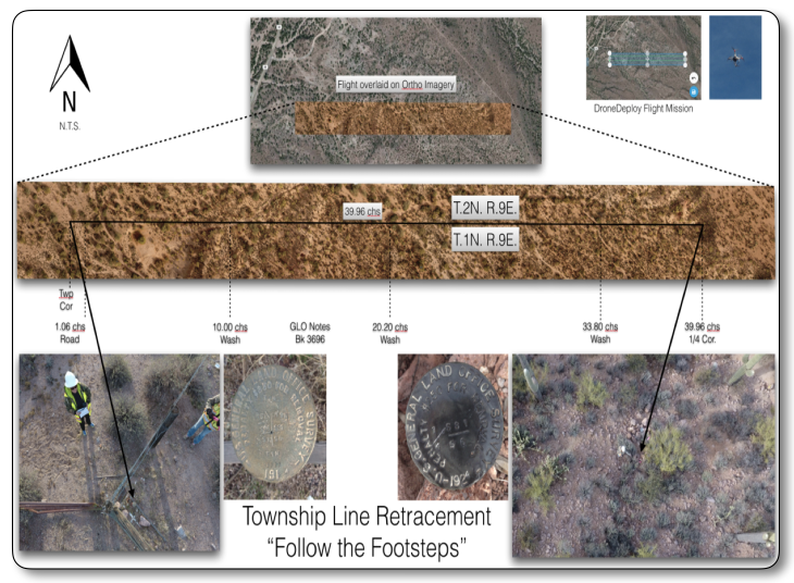
Drone technologies are only going to get better. There are more interesting ways to use a drone such as following the footsteps of the original surveyor from the air.
I retraced a township line using a drone to perform a check on the topographic calls from the original notes.
How cool is that?