|
While Waterborne's Field Study team is well known for its expertise in field and watershed-level nutrient and emerging contaminant monitoring, water quality monitoring and analysis, critical stage drone imagery capture and analysis, and field level GHG monitoring, (just to name a few), it's a known fact throughout our company that the team is secretly in love with our abilities and our equipment surrounding volatility monitoring! It may sound a little old-fashioned, but in honor of February's “love” month’s motto, we are giving readers a glimpse of how field volatility studies spark our scientists’ hearts.
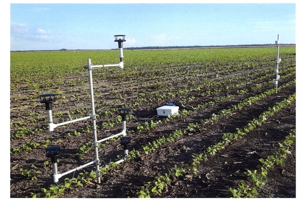
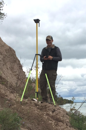
Volatility monitoring is a delicate combination of the perfect site location crossed with precise air parameter measurements at different heights and a splash of data supporting calculations of flux rates to create the quality combination of precision and efficient study output of results and reporting. Finding "the perfect site" is one of the most exciting aspects of the study! Utilizing front-end efficiencies, pinpointing a volatility study location requires a look at client land resources, speaking with research partners, or through the use of innovative web-GIS selection tools (or a combination of the three!) to narrow a pool of...
>> Read the full article
|