Tropical Storm Idalia Updates

8/29/2023

Intensity Forecast:

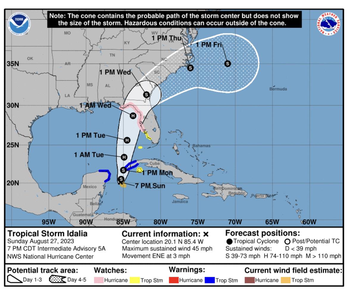
Idalia is expected to become a hurricane today despite the presence of some dry air and shear as bubbling convection and warm waters should allow more intensification today into a hurricane. Once the trough to the northwest and ridge to the southeast take Idalia into the Gulf, a very favorable environment awaits. Warm waters of nearly 31C and strong outflow aloft may allow Idalia to rapidly intensify on Tuesday up to 100 knots if the environment sets up in this way. This would pose the threat for a strong hurricane to make landfall over Florida on Wednesday.


Track Forecast:

Idalia has begun to move northward and should enter the Gulf in about 24 hours as a trough to the northwest and a ridge to the southeast combine to steer Idalia to the north-northeast to northeast at a fairly brisk pace. This would bring the storm to a possible landfall over the big bend of Florida late Wednesday morning. Track confidence is still a little low at this time until Idalia moves into the Gulf as land interaction with far western Cuba is not out of the question and could influence where the storm wobbles from the current track.


Watch, Warnings, Advisories:


CLICK HERE FOR ACTIVE STORM ADVISORY
NATIONAL WEATHER SERVICE 7 AM ADVISORY 8/28/23

Even though Southwest Florida is not in the direct path of Tropical Storm Idalia, the area is under a tropical storm watch which means it is possible we might experience storm surge, rainfall, and windy conditions, most likely beginning Tuesday.


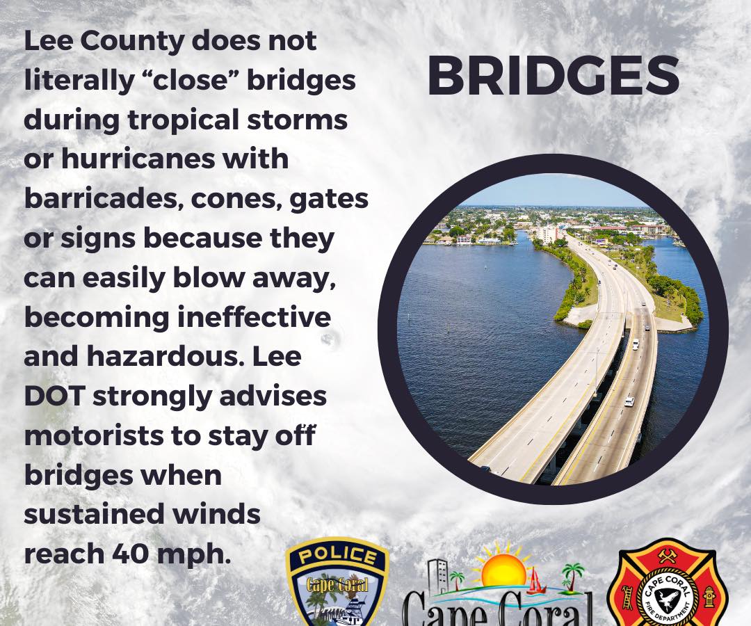
Please note that Lee County does not literally “close” bridges but does advise motorists to stay off of them when winds are sustained 40mph.

Please be sure to continue to monitor local media outlets and follow our social media platforms for updates.

 
Facebook  Twitter  Instagram  LinkedIn