Virginia - North Carolina: Sunday, October 30, 2022 | |
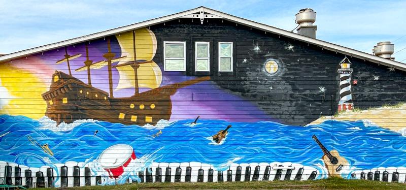
The town of Mateo was in the throes of Halloween. | |
|
Bodie Island is connected to Pea Island/Hatteras Island via a bridge with long sweeping curves that flows out into the Sound before landing back on dry sand. I think they were following the shallowest waters rather than the shortest route. I assume that at one time Pea Island and Hatteras Island were separated, but as far as I could make out they are now one long narrow sand dune. In many some areas, the island is only as wide as highway 12, and the highway is half covered by blowing sand.
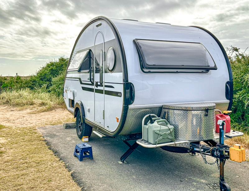
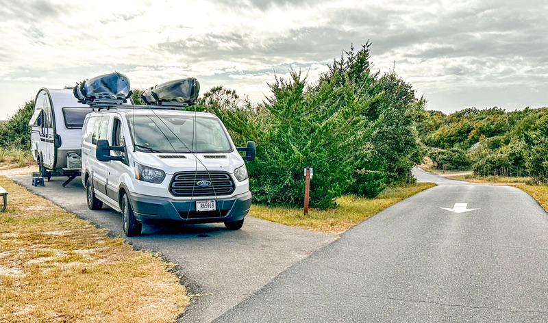
Shaped like a hockey stick, most of the island’s handle is the undeveloped Cape Hatteras National Seashore. Only the hockey stick blade is developed with the tiny towns of Buxton, Frisco, and Hatteras. Our new campground, Frisco National Campground, is one of two national campgrounds 5 miles apart. As far as privacy goes, Frisco is the best campground we have setup in yet. Thick low bushes and dwarf trees keep each site isolated, yet full sun can reach the solar panel on the roof of V-Jer. Frisco has no electrical or water hookups, so this is the perfect boondocking layout.
| |
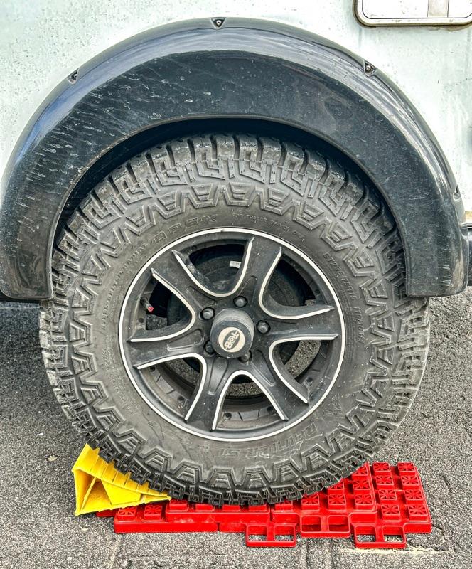
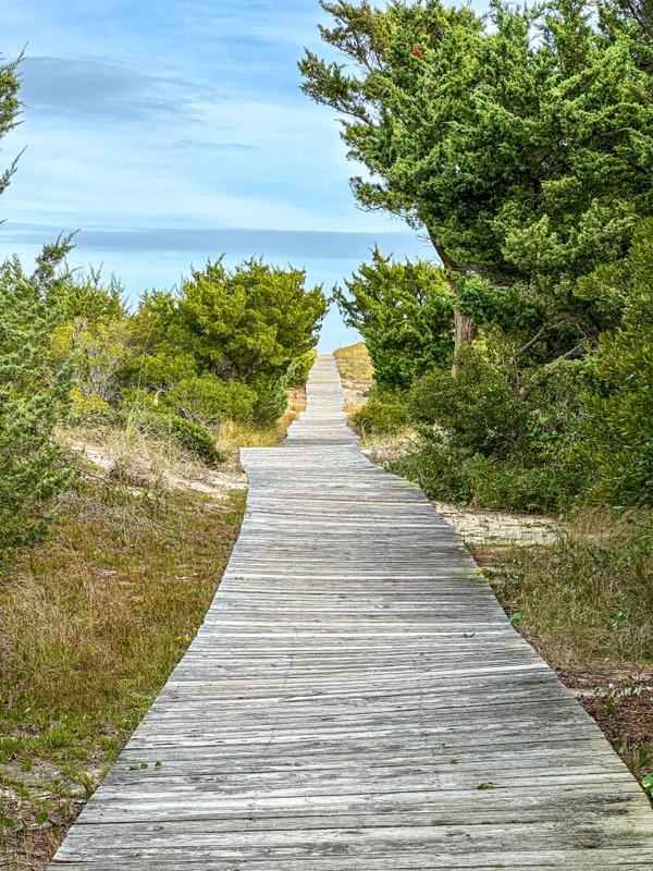
Our campsite was on top of a sand dune ridge giving us a great view. The site was surrounded by low vegetation. Each site is about 150’ apart. Compared to Oregon Inlet National Campground, where we had no privacy, Frisco was wonderful. | We did need to raise one side of V-Jer to level her out - No biggie. | Access to the beach from the campground was nicely laid out. At night, we could hear the surf pounding. Along with the frog and cricket sounds, I found it to be soothing - far superior to road-noise. | 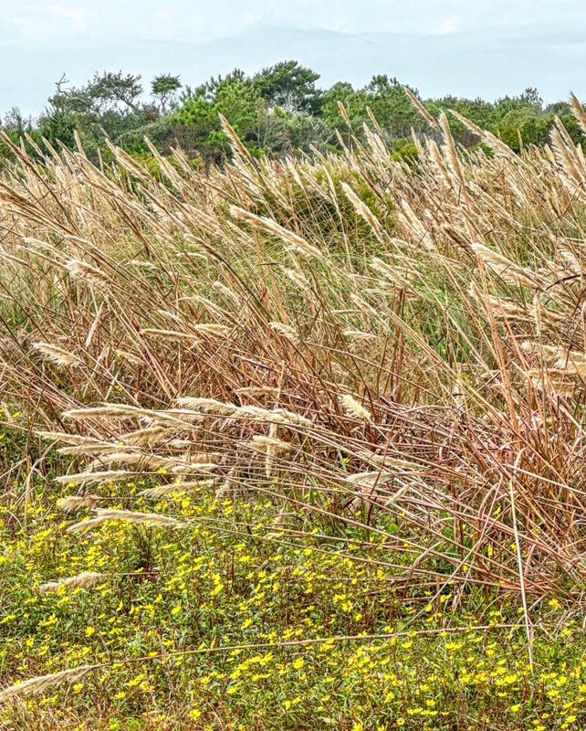 | |
The other campground, right on the heel of the hockey stick, is the Cape Point National Campground. Of the two campgrounds, this is the main campground. It is much larger than Frisco, has the water dump-station, and features a couple of hiking trails. It is also a short walk from Cape Hatteras and the Cape Hatteras Lighthouse. I would still take Frisco over Cape Point. There is no privacy at Cape Point.
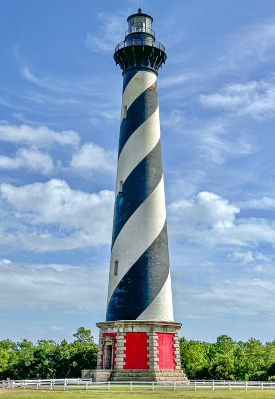
We were pretty lazy today. We took our merry time getting to our new campsite, setting up, and driving around to get the lay of the land, or should I say, sand. We finally settled on visiting the lighthouse and checking on the beach at Avon, a nearly nonexistent village.
The wind was howling and the sky was oscillating between sun and dark overcast. The temperature was in between shorts and long pants. In these situations, I usually go with shorts and Wanda opts for long pants.
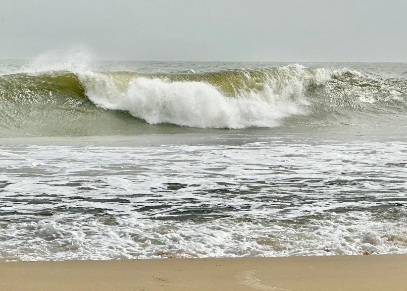
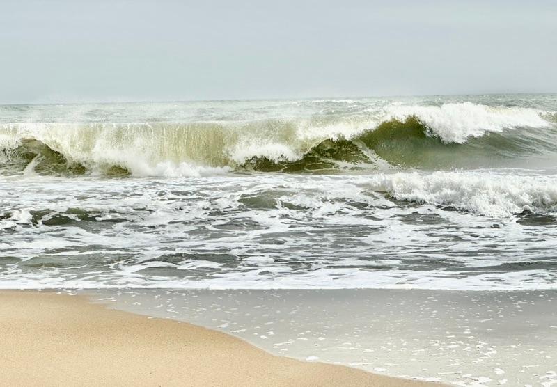
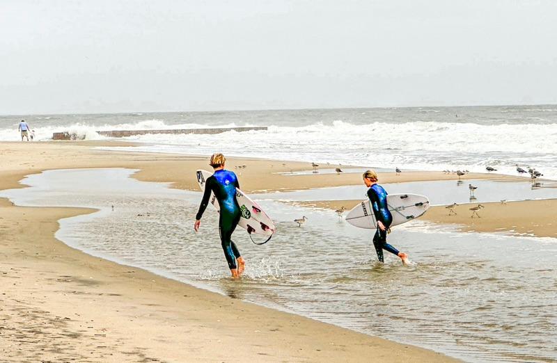
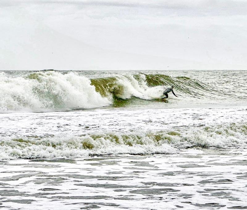
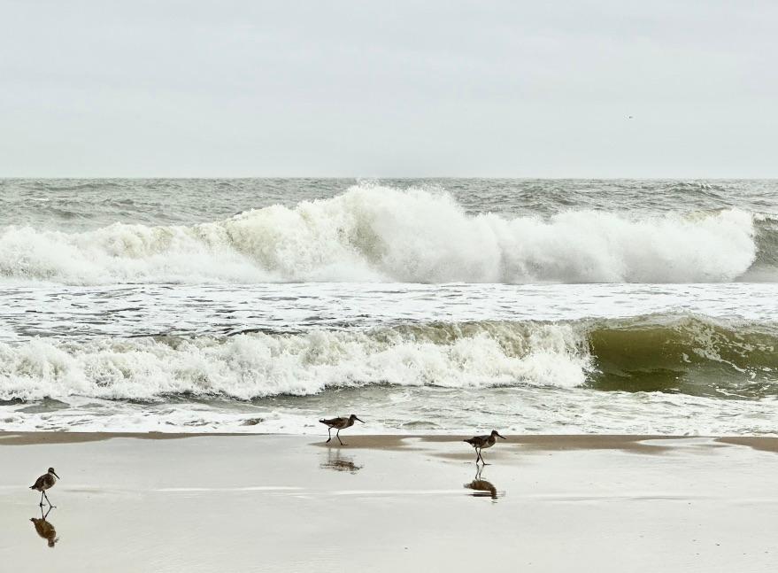
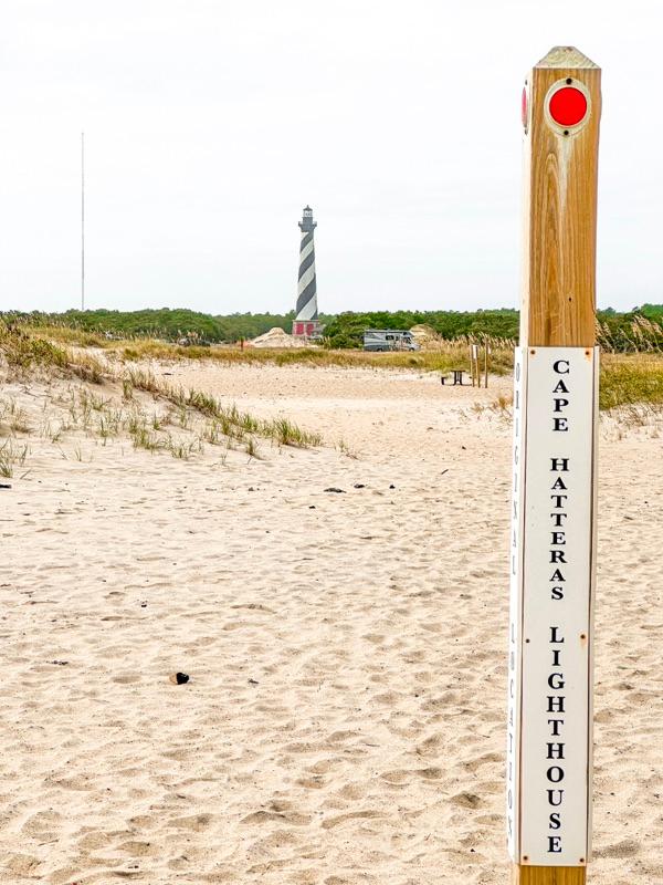
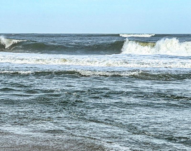
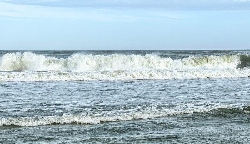
On our way to the lighthouse, we stopped off at the designated park swimming beach. The waves were impressive and a couple of kids in wet suits were surfboarding. They were pretty good. Next to the shore, we found a marker that said, “Cape Hatteras Lighthouse.” That was a bit baffling as we could see the lighthouse off in the distance.
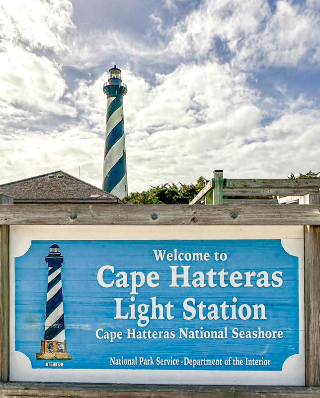
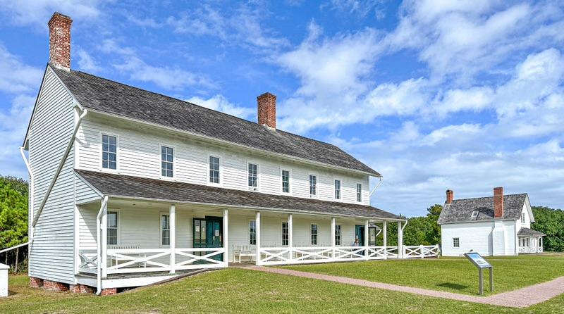
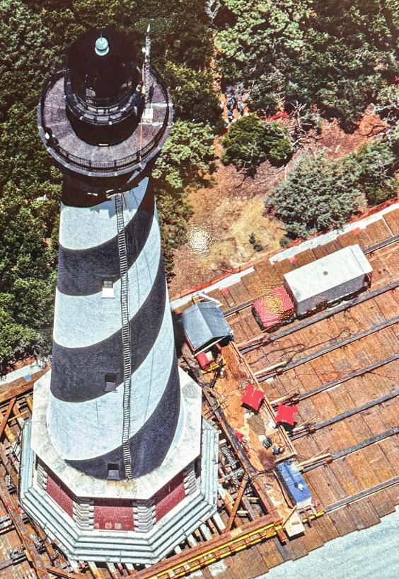
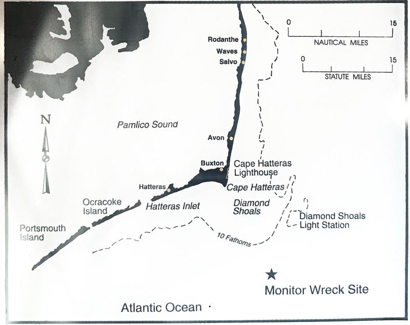
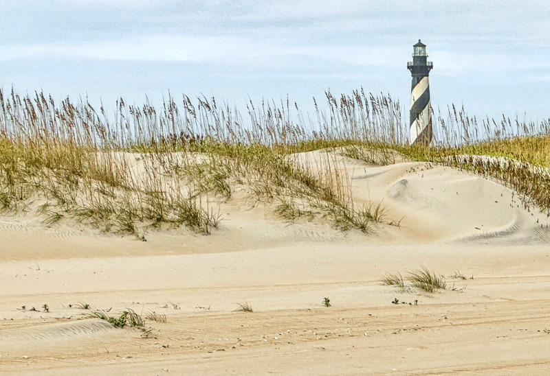
| 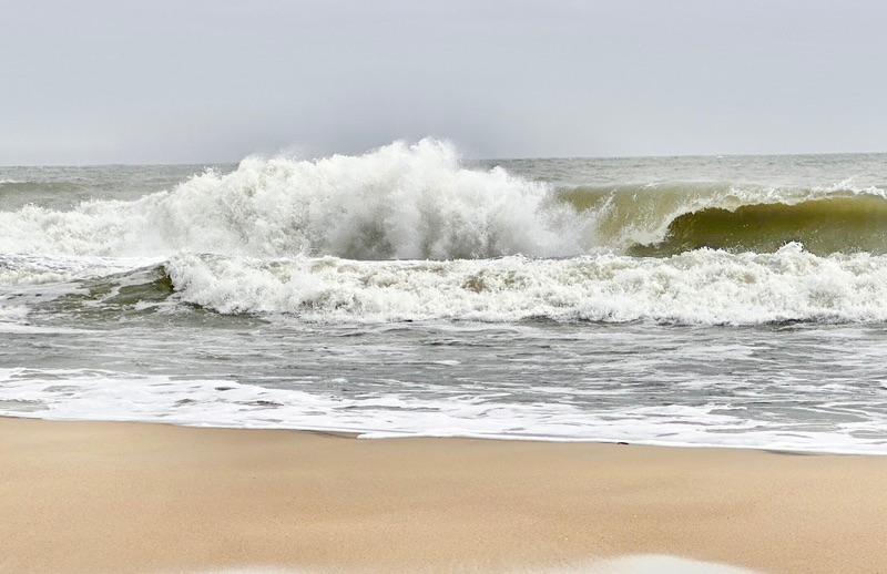 | The beach near the lighthouse featured some good wave action. This stretch of beach is still 4 miles from the very tip of the Cape. | A couple of kids surfing. | The marker on the edge of the beach that confused us. | The mystery cleared up at the lighthouse museum. When the lighthouse was built in 1870, it was well away from the ocean. By 1950, it was practically in the ocean. It was where the marker we stumbled upon is located. In 1999, they put the whole 198’ brick tower on a special truck bed and moved it 2,900’ to its present dry spot, well away from the shoreline, at least for now. To move a tall brick structure like that must have been quite the engineering marvel. As an encore, they also moved the head-keeper’s house and the assistant-keeper’s duplex. | The building in the forefront is the duplex for the two assistant light-keepers and their families. It currently houses the museum. The single house in the background is the house for the head-keeper. | This is a great photo of the lighthouse being moved from the eroding beach to its present location. To get the the brick tower on the platform without it breaking apart is a marvel. | This map shows the skinny Outer Banks islands that form the boundary between the Atlantic Ocean and the Pamlico Sound. It also shows the extent of the shoals that extend far out into the Ocean. The Union ironclad, Monitor, sank off Cape Hatteras after it floundered in a storm - just one of at least 600 shipwrecks off the Cape (some estimates go as high as 1,000). | |
We walked back to the beach. We wanted to see Cape Hatteras, the exact heel of the hockey stick. With at least 600 shipwrecks just off the Cape, it has been nicknamed ‘the Graveyard of the Atlantic’.
I thought it would be a quick hike from the lighthouse to the Cape. Unfortunately, it wasn’t. The lighthouse is still about four miles from the tip of the Cape. We walked about two miles along the beach and then turned back. We’ll catch the tip of the Cape tomorrow or the next day.
We also discovered that not everyone can drive on the beaches. You have to get a special permit, deflate your tires to 20 psi, and maybe have to have four-wheel drive. I am only guessing on the four-wheel drive, but you’d be nuts to drive on the sand without it.
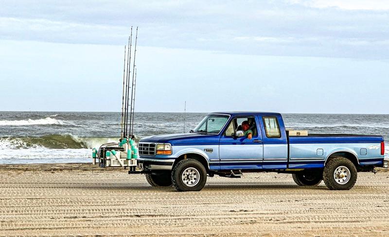
Most of the vehicles that do drive on the beaches are fishermen. They have elaborate attachments hooked up to their front bumpers to accommodate six hefty rods and reels plus a large cooler for drinks.
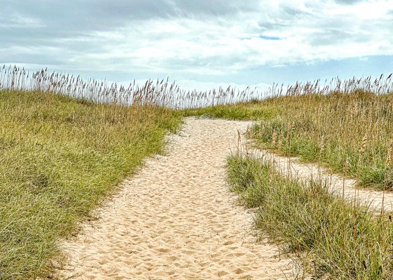
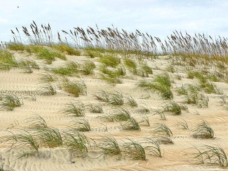
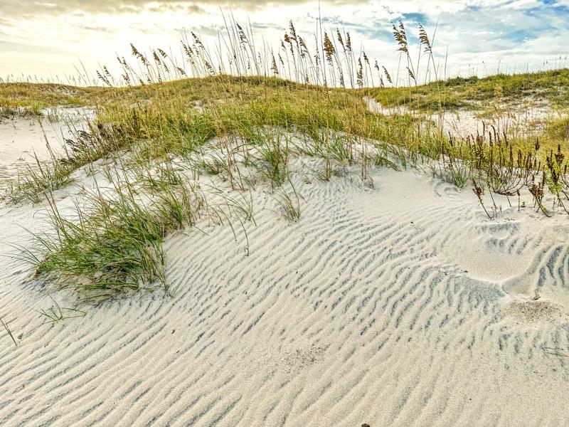
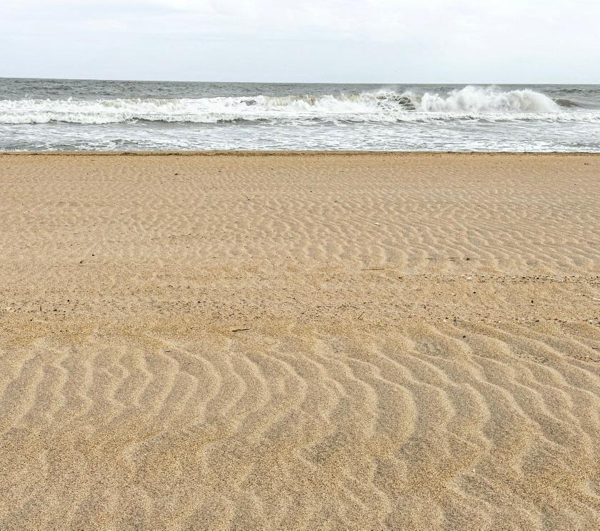
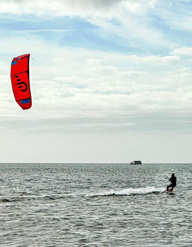
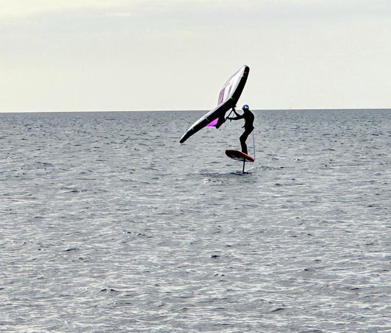
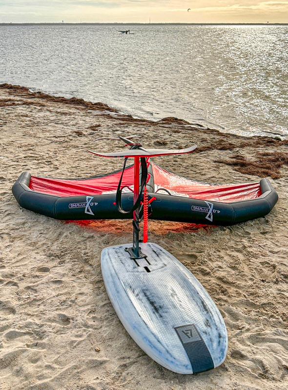
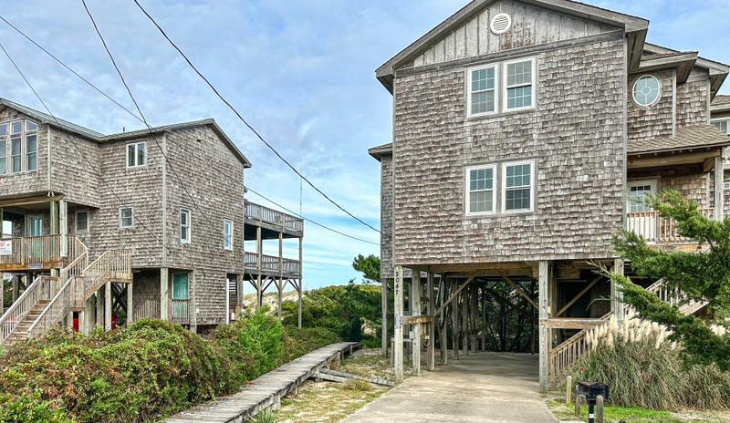
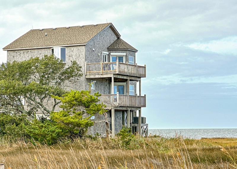
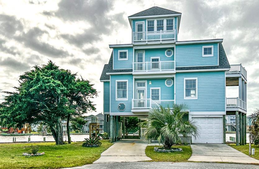
| 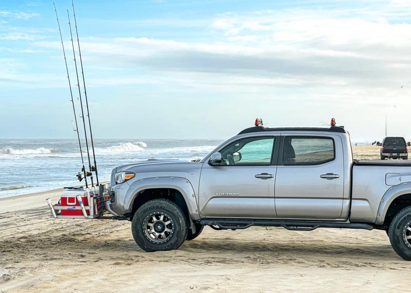 | These serious fishermen have their trucks decked out for an all-day fishing excursion. Let’s see, a half-dozen rods and reels: Check. A cooler full of beer: Check. | The following photos are beach shots from our 4-mile round-trip beach hike. The starkness of the sand and the tenacious grasses present a beauty all their own. | I had read that the Avon Beach was the best beach on the island. It was facing the Sound, not the ocean. It was a haven for parasailers. Scores of people in battered RVs speaking several different languages had gathered for some parasailing. There were many different designs, but the hydroplane parasail was the most popular. It also looked to be the most difficult to master. Few hydroplane parasailers were acutually riding their boards. Most were in the water desperately trying to get back on. | At Avon Beach, we ran across a bunch people para-sailing, para-surfing, para-boarding, para-hydroplaning, para-whatever. | A para-hydroplane flipped upside down to show the underwater wing. Notice that the leading edge of the delta-shaped sail is inflated to give it a curved wing shape. | Just about the only building of interest in the tiny village of Avon. | We then buzzed around Buxton and Frisco. Not much there except more rentals. We’ll, that’s it. Did I mention it was a lazy day? | |
Glossary of terms used for newcomers: 1) V-Jer. The name of our camper. 2) Saturn. The name of our Van. 3) Duende. Our mischievous gremlin that breaks things. 4) Tata. The good gremlin that helps us fix Duende’s dirty work. 5) The Black Hole. This is what we call Walmart because every time we go in for just a couple of items, we come out spending way more than we figured. 6) QT. Quaint Town. 7) Little Buddy. This is what we call our Dyson cordless stick vacuum. | | | | |