View this email in your browser


Yellowstone & Grand Teton

National Parks


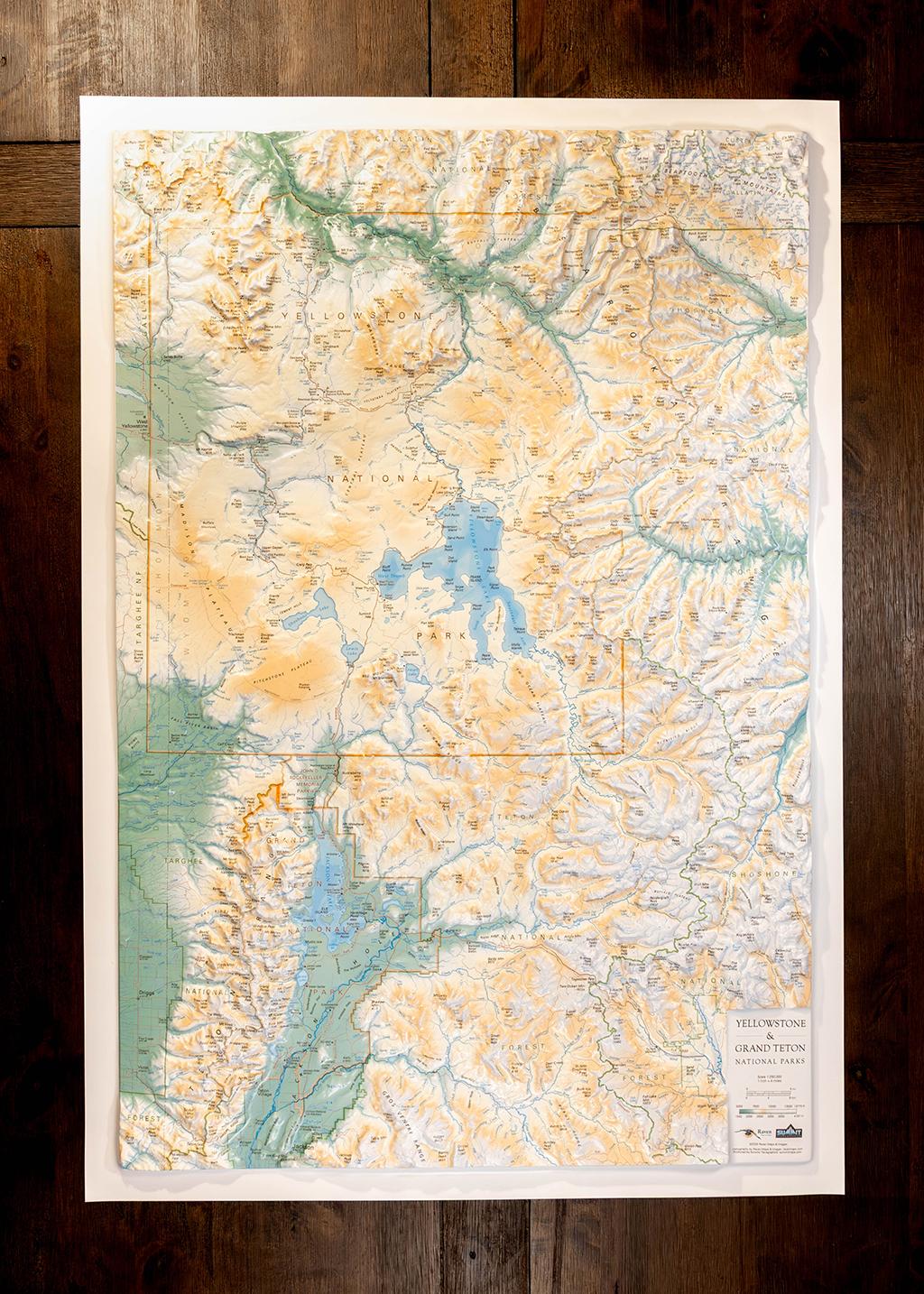
Explore the landscapes of Yellowstone and Grand Teton National Parks in amazing 3D detail with this beautiful and precisely molded new raised relief map.


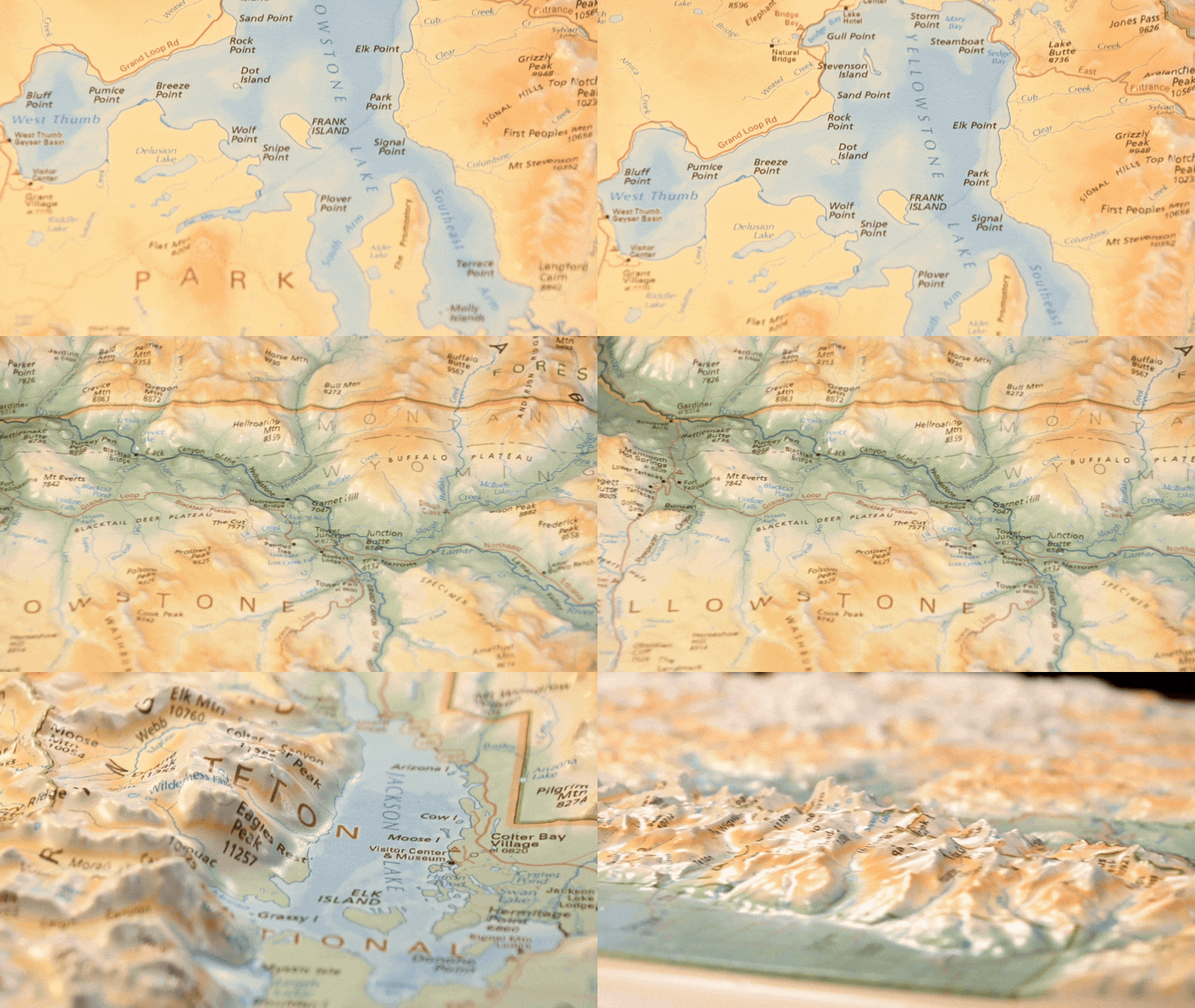
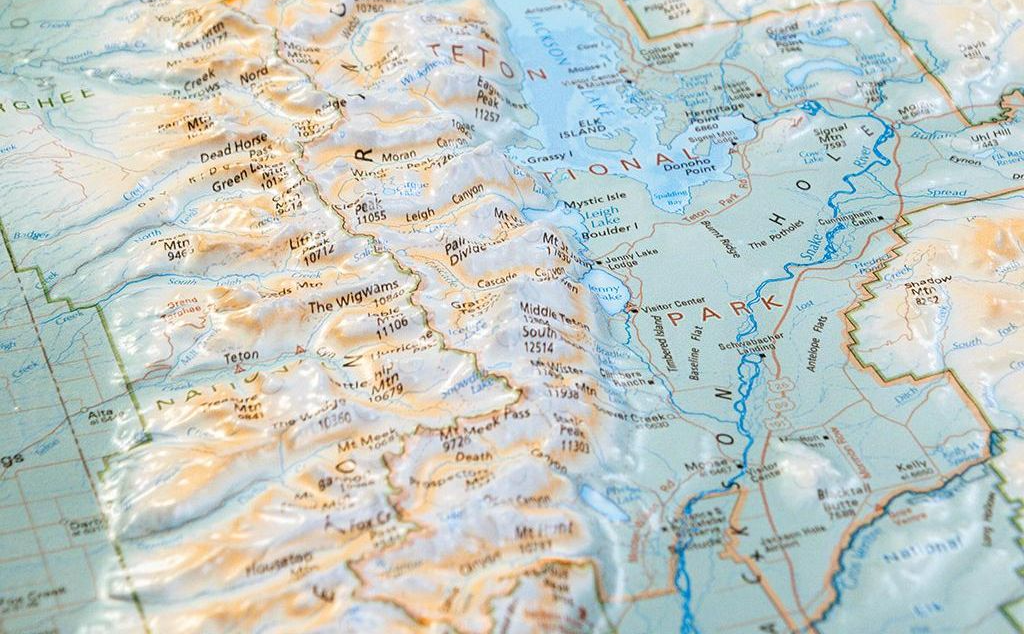
From the high peaks of the Absaroka and Teton Ranges to the shores of Yellowstone Lake and the Snake River, our classic hypsometric tints combine with roughly one inch of vertical relief to showcase the rugged and diverse topography found in these iconic parks. 


Over 2,000 hand-placed labels mark key features in and around both Yellowstone and Grand Teton, including summits, lakes, roads, visitor centers, and geyser basins. Trails are shown as they wind through the vast wildernesses that lie beyond the parks' roads, and the Continental Divide Trail is labeled as it arcs through Yellowstone on its way to the Canadian border.


Plus, bathymetric tints for Yellowstone Lake and Jackson Lake hint at the landscape hidden beneath the waters of these two expansive high elevation lakes.


Whether you're daydreaming about future trips in Jackson Hole or reminiscing about past explorations along Yellowstone's Grand Loop Road, this stunning map serves as both a reference and an inspiration for adventure in and around the world's first national park.


Size and Price


 22" (W) x 32" (H) — $85

Scale


1:25,000 (1 inch = about 4 miles)


Parklands Series

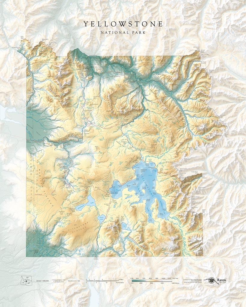
Yellowstone

 National Park

This map beautifully illusrates the vast and varied landscapes of the world's first national park.


Available in Elevation (pictured) or Landscape Style

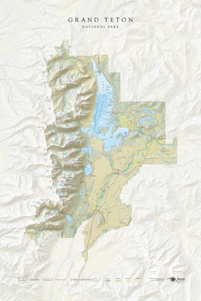
Grand Teton

National Park

This map showcases the iconic landscapes of Grand Teton National Park in gorgeous detail.


Available in Elevation or Landscape Style (pictured).

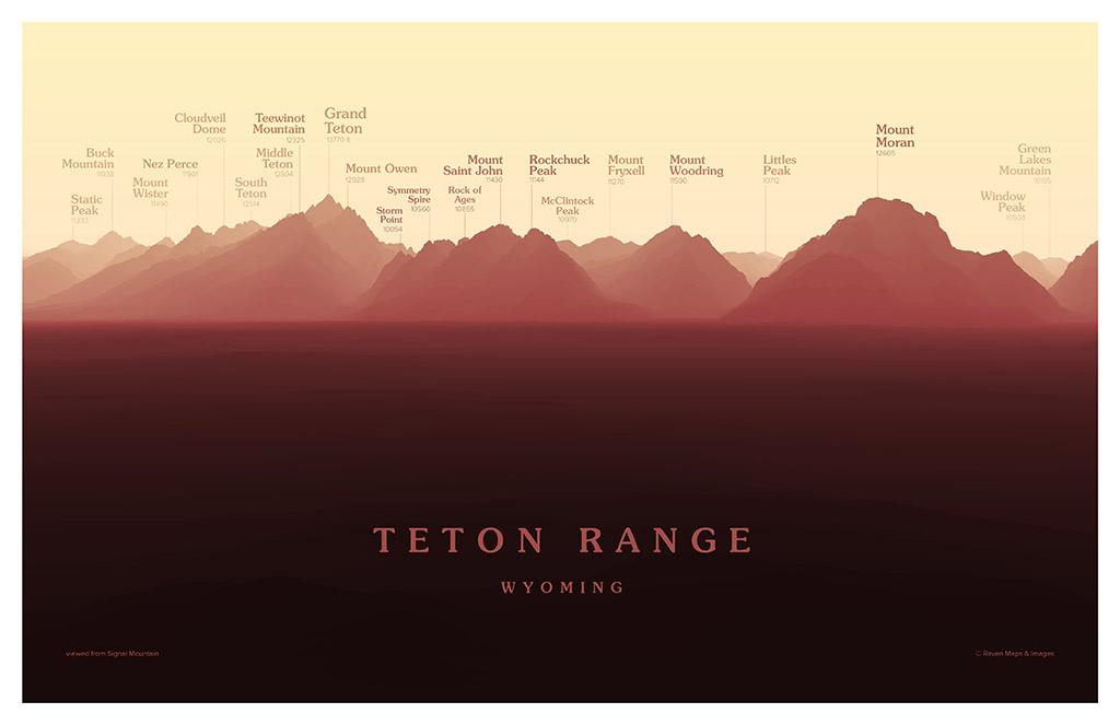
Teton Range

The Teton Range is perhaps one of the most recognizable mountain landscapes in the world, with sharp peaks rising dramatically above the Snake River and Jackson Hole.


This perspective found on Signal Mountain provides one of the best and most comprehensive vistas of the range’s major peaks.

Question of the Day

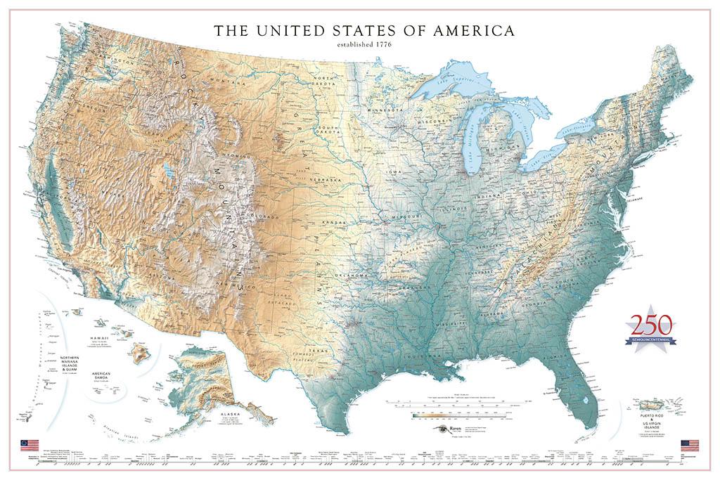
USA 250th Anniversary Commemorative Map

Question: Four state capitals are named after United States presidents. What are they?

Answer

 
Instagram  Facebook