Logo.png

Tennessee, 10/26/21: Picture Perfect

Retracing General Grant’s footsteps at Fort Henry.

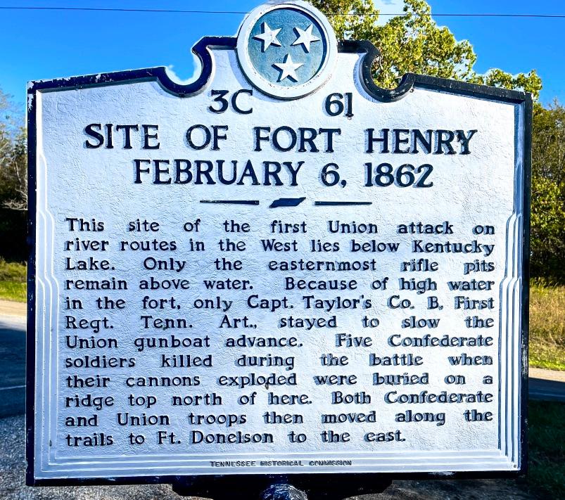
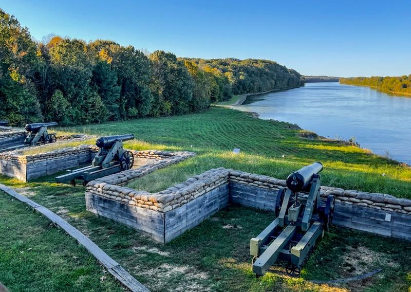
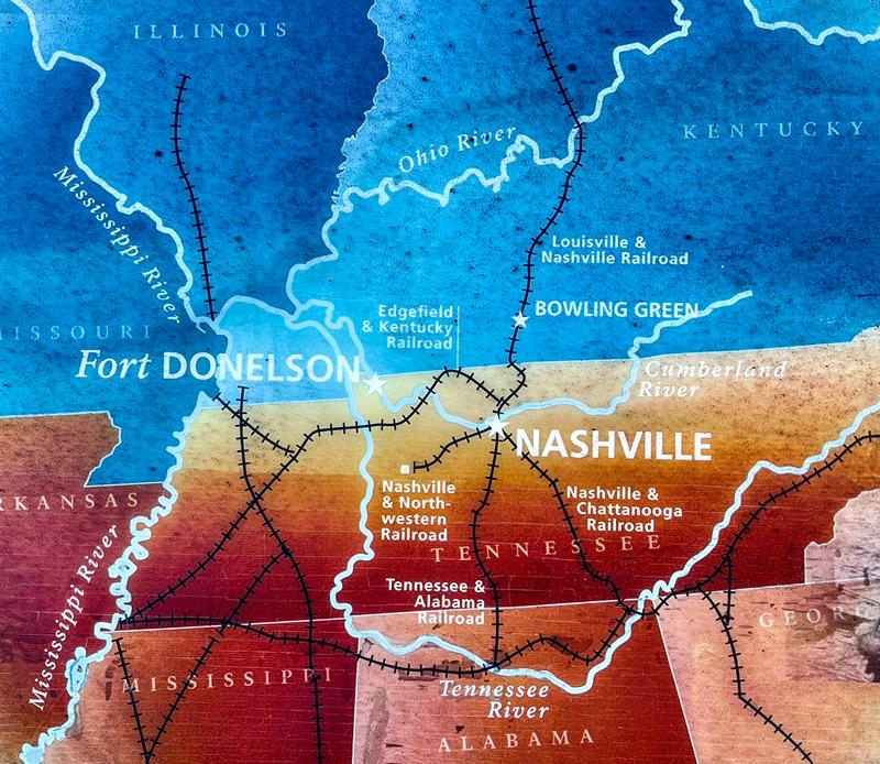
The clouds and wind were banished overnight, leaving a day perfectly crafted for hiking. We drove 23 miles south, into Tennessee, to tackle the trails at Fort Henry. Fort Henry, the key to controlling the Tennesse River, was the site of a civil war battle on February 6, 1862. General Grant was victorious giving the Union an important win.


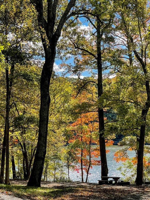
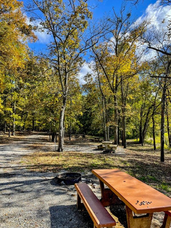
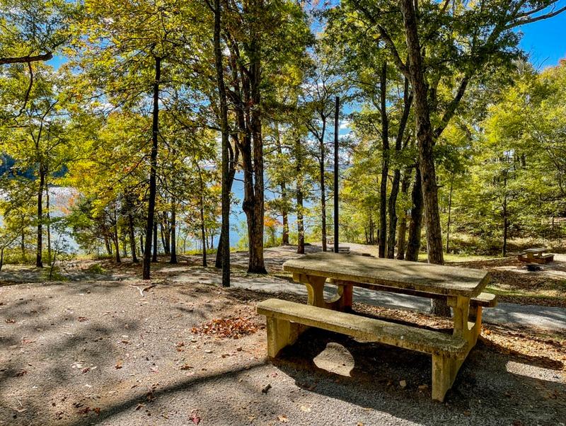
On the way to Fort Henry, we stopped off at Redd Hollow Campground. It is a Self-serve campground that I had read good reviews on. The 2-mile gravel road to the campground was decent. That was a plus. The campground itself turned out to be picturesque. The layout had a few clunkers, but most sites were level and roomy. So far, it is the best campground we’ve seen in the LBL so far.

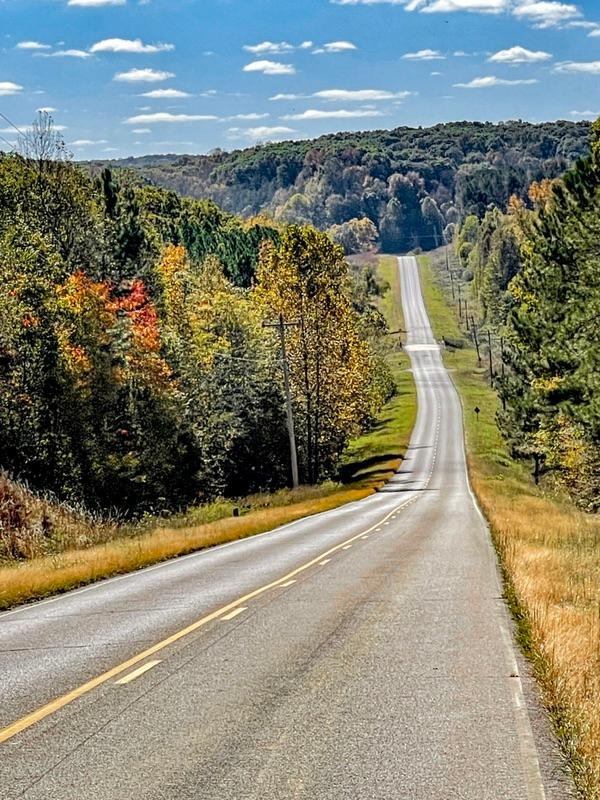
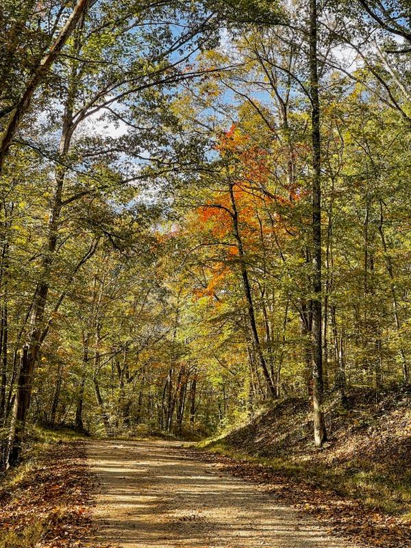
The drive to Fort Henry on the Woodland Trace National Scenic Byway.

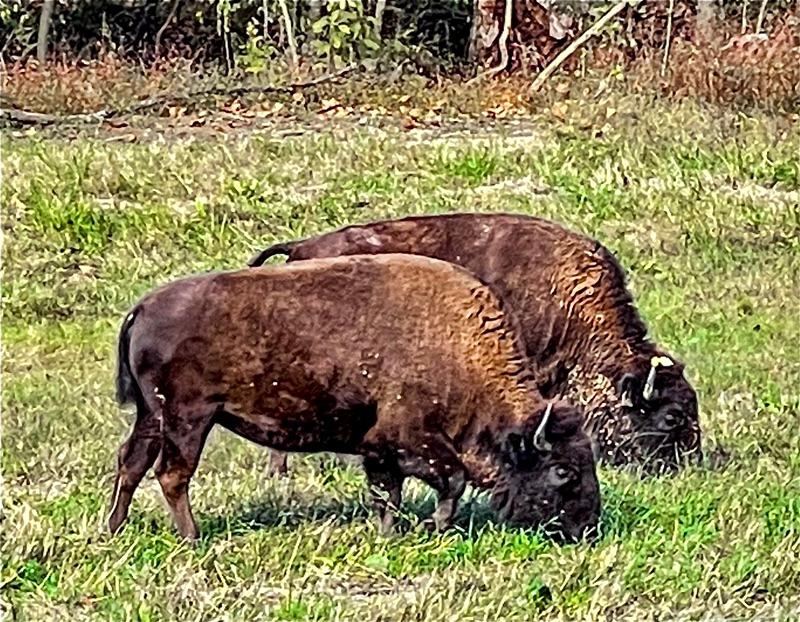
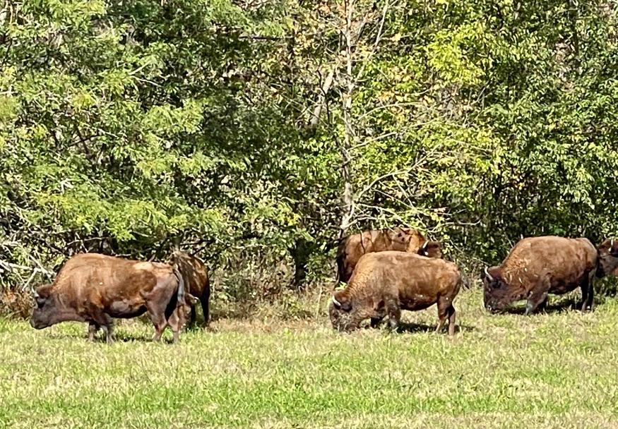
We finally got to see some bison on the way to Fort Henry at the Bison Range.

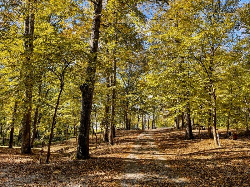
Redd Hollow Campground.

A great site overlooking the bay.

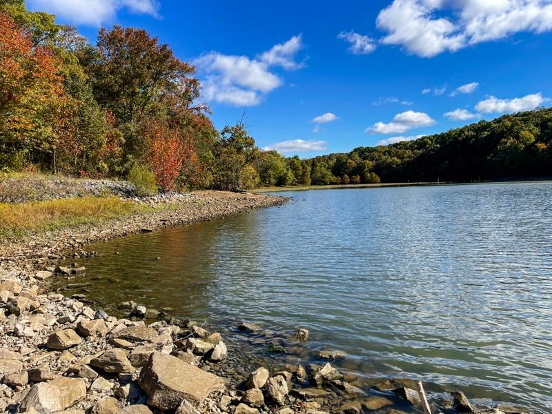
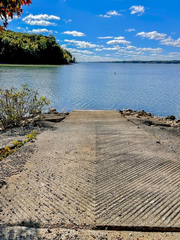
The cement boat landing ramp ends at the waters edge making it impossible to launch a boat. The reservoir’s water is low.

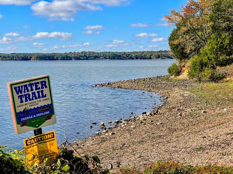
The bay at Redd Hollow is part of the “water trail“.

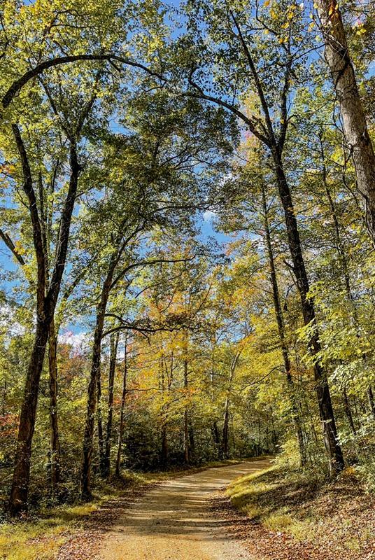
The road leading to Redd Hollow.

OK, back to Fort Henry. Unfortunately, when the dam was built on the Tennessee River, the remnants of the fort were submerged. All that remains are the roads, which are only trails, that Grant’s army used to march to Fort Donelson, Grant’s next victim.


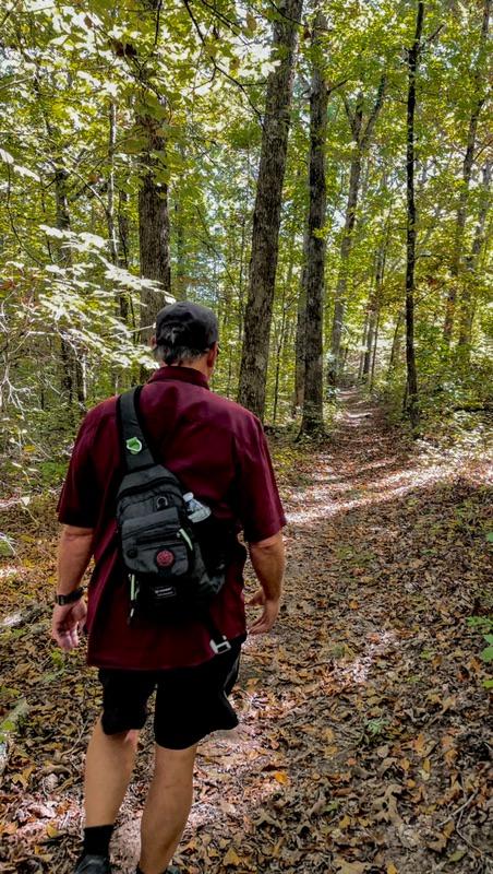
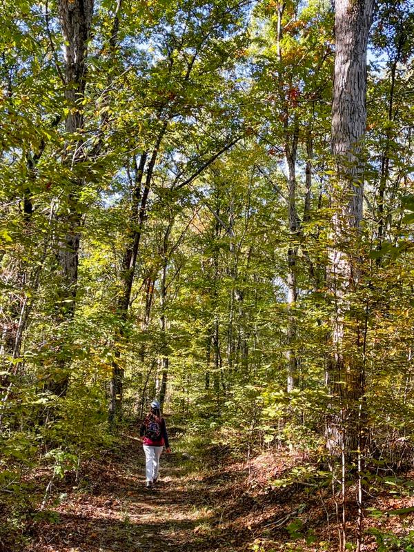
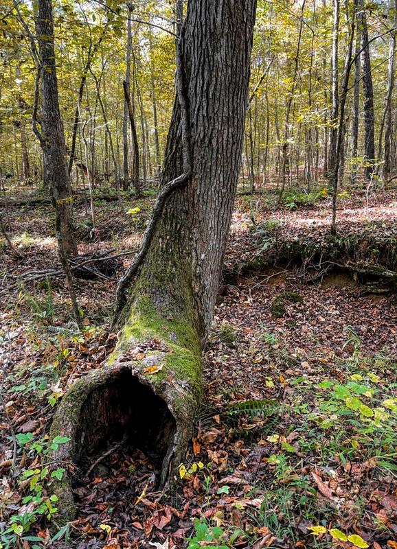
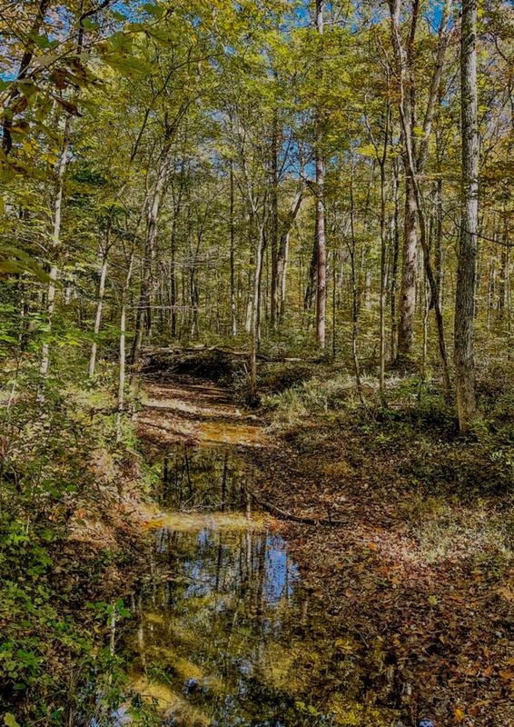
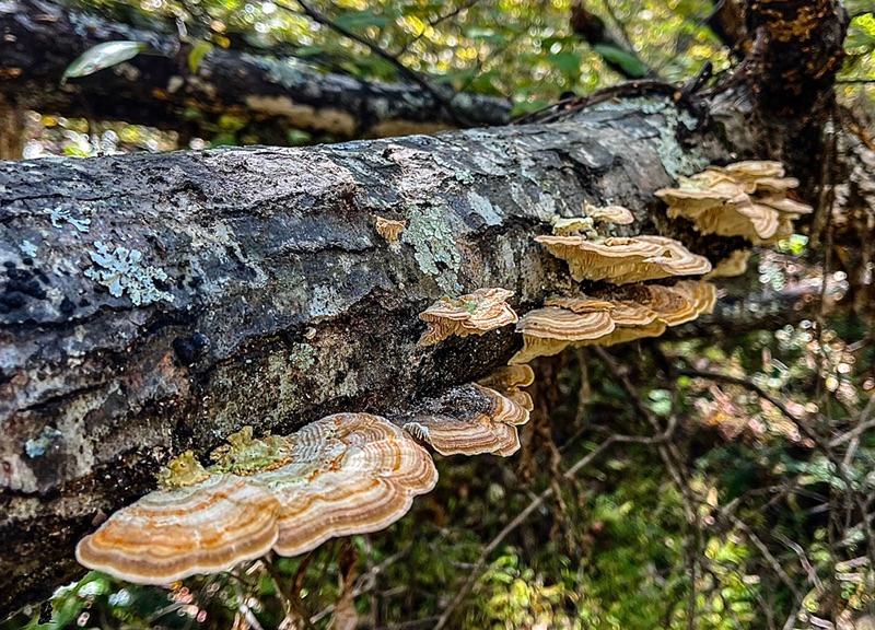
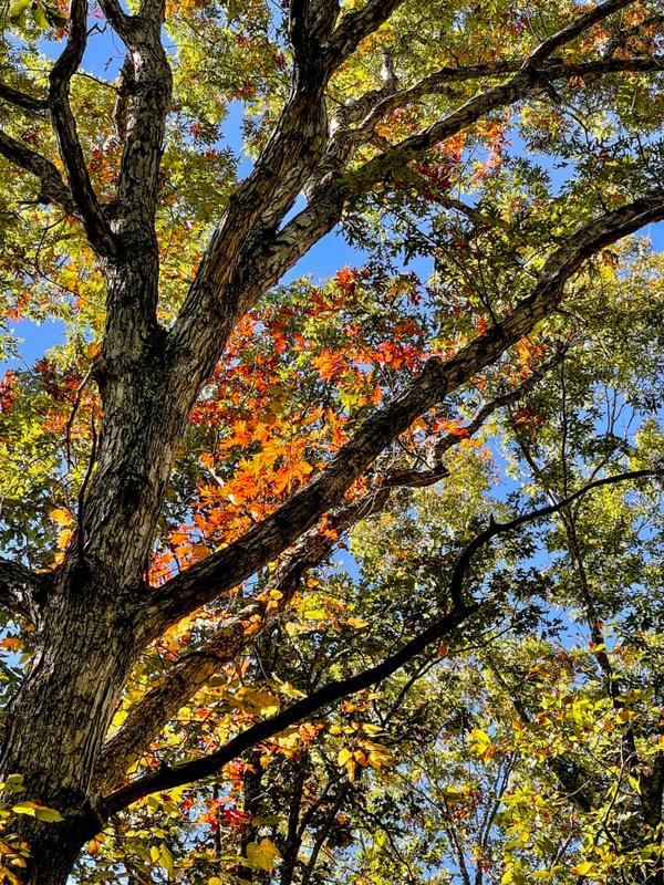
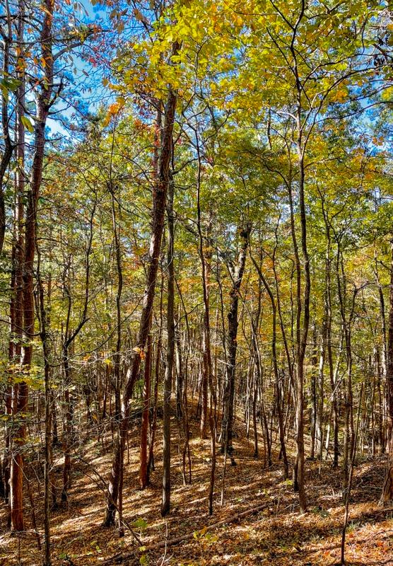
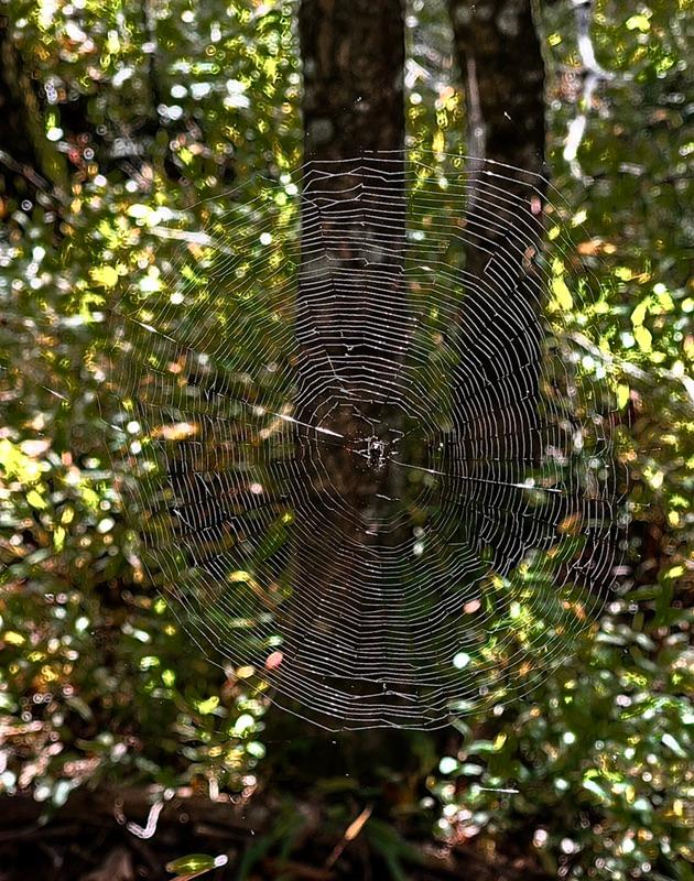
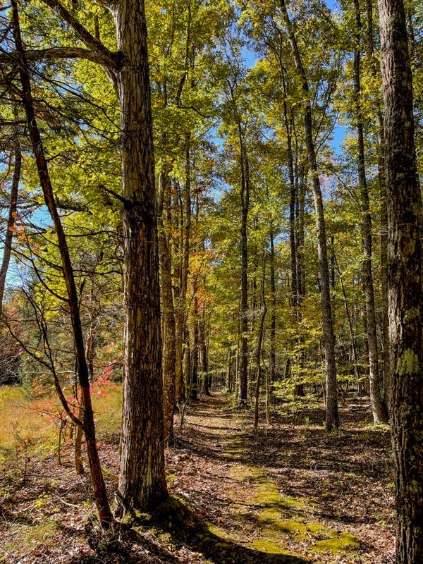
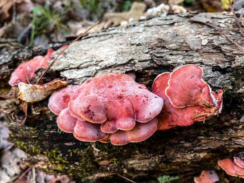
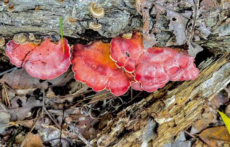
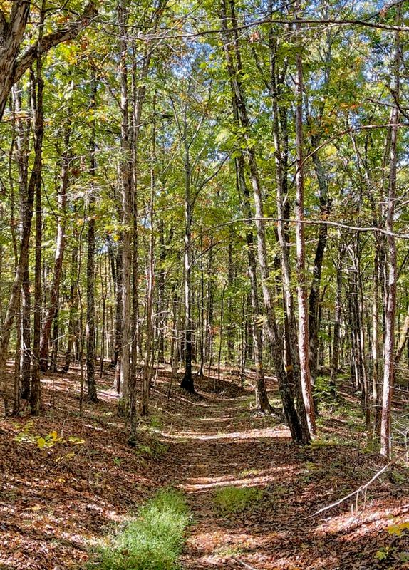
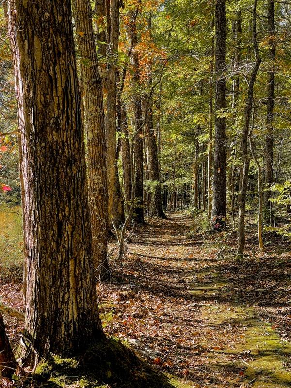
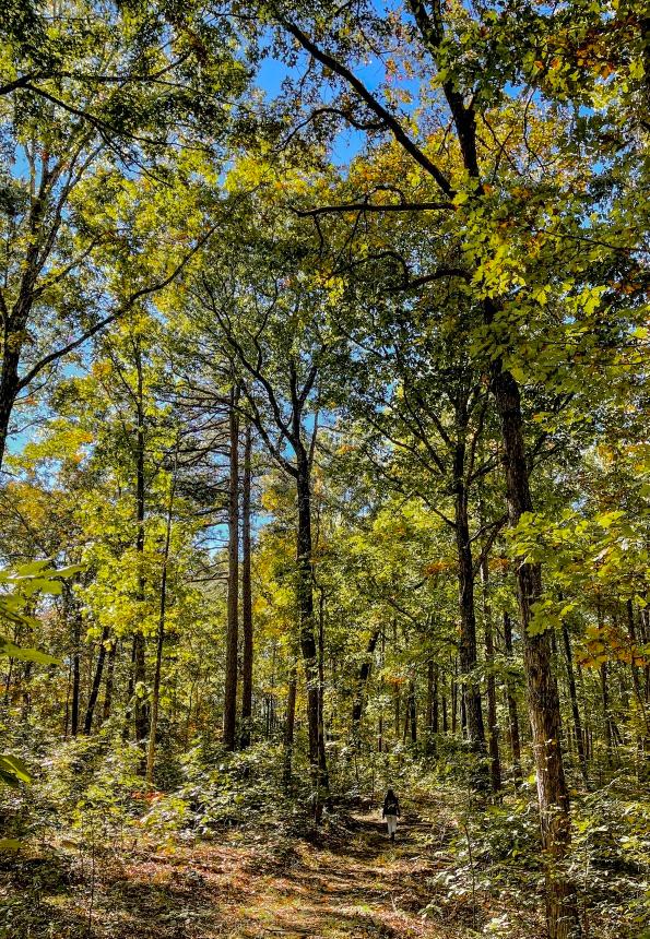
Some 15 miles of trails have been added to the original roads to make the forest and hollows in the Fort Henry area a wonderful hiking area. I had two connected loops mapped out that were supposed to equal 6.2 miles, according to the brochure I was using. According to our Gaia GPS app, we actually logged 7.2 miles.


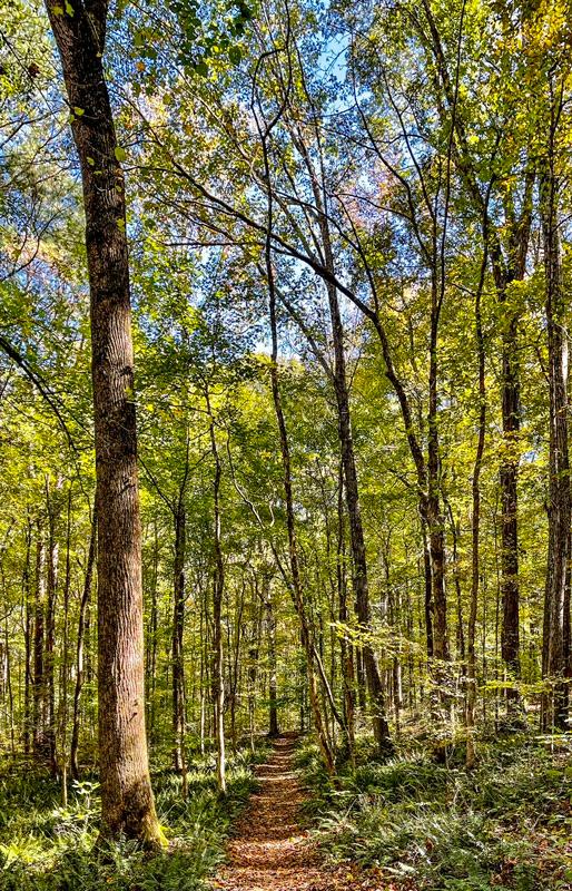
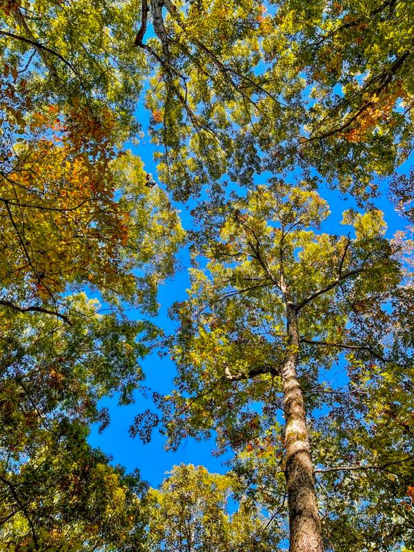
And what a fabulous 7.2 miles. The trail was mostly easy. We did have to climb up a few ridges, but with the clever use of switchbacks, the climbs were gentle. The weather was exquisite. Never too hot, never too cool.

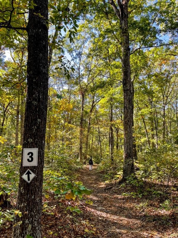
The trail system at Fort Henry is complicated, but the trails are very well marked.

At a leisurely pace of 2 miles per hour, we completed the loops by 3:40 pm. We then drove the 12 miles west to Fort Donelson.


Fort Donelson, guarding the Cumberland River, was a much stronger and more strategic position than Fort Henry. It took Grant three days to capture the fort and force the surrender of the entire Confederate army stationed there.


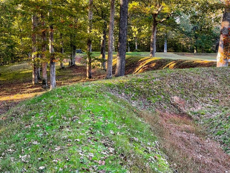
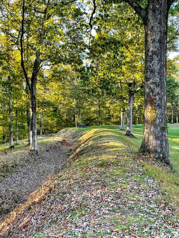
I was surprised to see how loosely the word “fort” was applied to the facility. The fort was more of a circle of earthworks that soldiers could hide behind when the action heated up. It was the spot of last resort. The surrounding ridgelines had miles of earthworks guarded by canons. Grant’s army had to fight their way up the hollows against what had to be whithering fire from the entrenched enemy along the ridge tops.


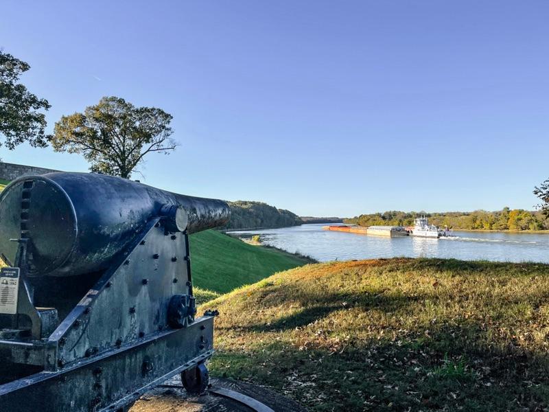
Grant tried to employ the Navy’s river gunboats to bombard the approach to the fort via the Cumberland River. This tactic worked splendidly at Fort Henry. Not so at Fort Donelson. The defensive canon batteries on the ridge overlooking the river beat back the gunboats. Grant’s men had to go it alone, unsupported by the gunboats.


The information center closed at 4pm, just as we drove in. Still, we got some maps and brochures. We also read the plaques along a hiking tour of the battlefield grounds. All that gave us a pretty good idea of how the battle played out.


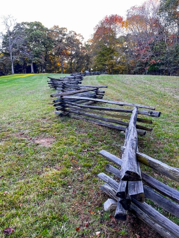
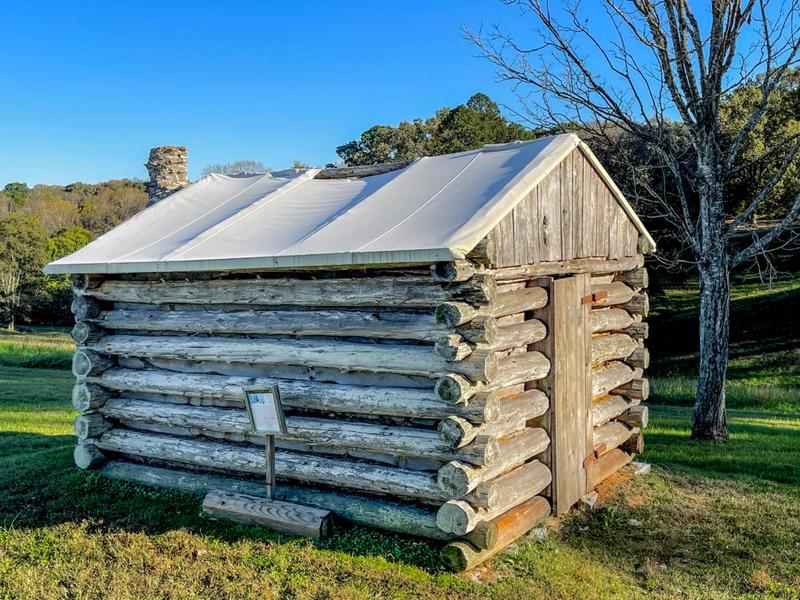
One other interesting tidbit involved the soldiers’ living quarters. Without a traditional fort, with walls, buildings, and barracks, where did the soldiers stay? A large valley below the main circle of earthworks contained rows and rows of tiny log huts with canvas roofs. We read that these huts were quite comfortable.


Being our first battlefield visit on this trip, I look forward to several more.

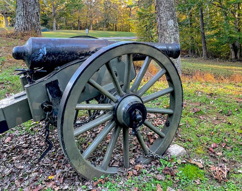
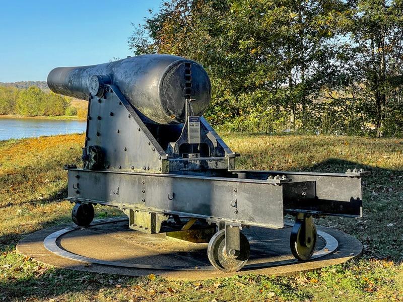
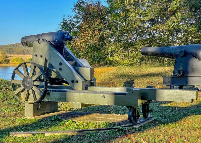
A typical Civil War canon.

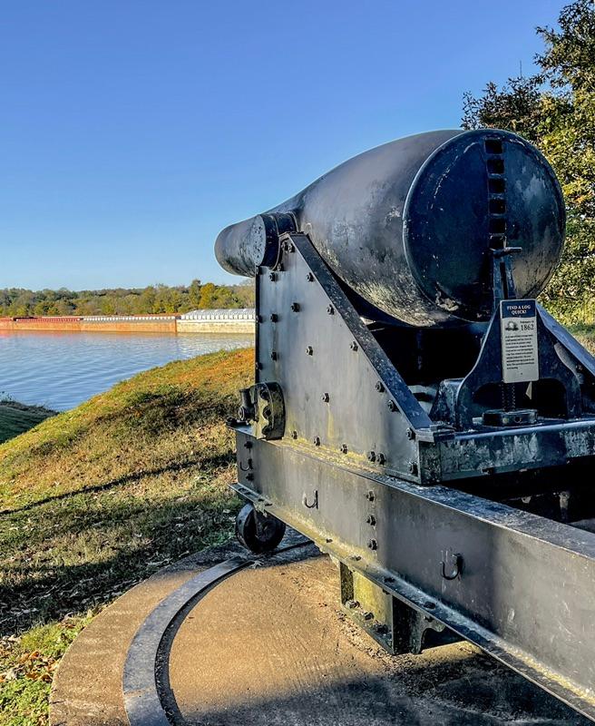
Gun batteries overlooking the Cumberland River.

I was struck with how modern this gun looked. It looked more like a WWI armament.

A line of earthworks along a ridge.

An example of the log huts with canvas roofs.

Glossary of terms used for newcomers: 1) V-Jer. The name of our camper. 2) Saturn. The name of our Van. 3) Duende. Our mischievous gremlin that breaks things. 4) Tata. The good gremlin that helps us fix Duende’s dirty work. 5) The Black Hole. This is what we call Walmart because every time we go in for just a couple of items, we come out spending way more than we figured. 6) QT. Quaint Town. 7) Little Buddy. This is what we call our Dyson cordless stick vacuum.

Dave and Wanda

Get Vaccinated To Save Lives.

Virtual Business Card

North America . Europe . Mexico . Asia . Product Reviews . Books & Maps


Please send us your thoughts and any errors we may have missed. We're on the road and cellular service is intermittent in the remote areas. As soon as we get online, we are eager to read all of your messages.


Text: 715-252-6664 | 715-252-3326
Email: alloverthemaptravelventures@gmail.com

Visit our Website
Pinterest Share This Email