Logo.png

CIRCLING GITCHE GUMEE:

THREE WEEKS AROUND LAKE SUPERIOR


Day 15

Pictographs, Sand River, Magpie Falls

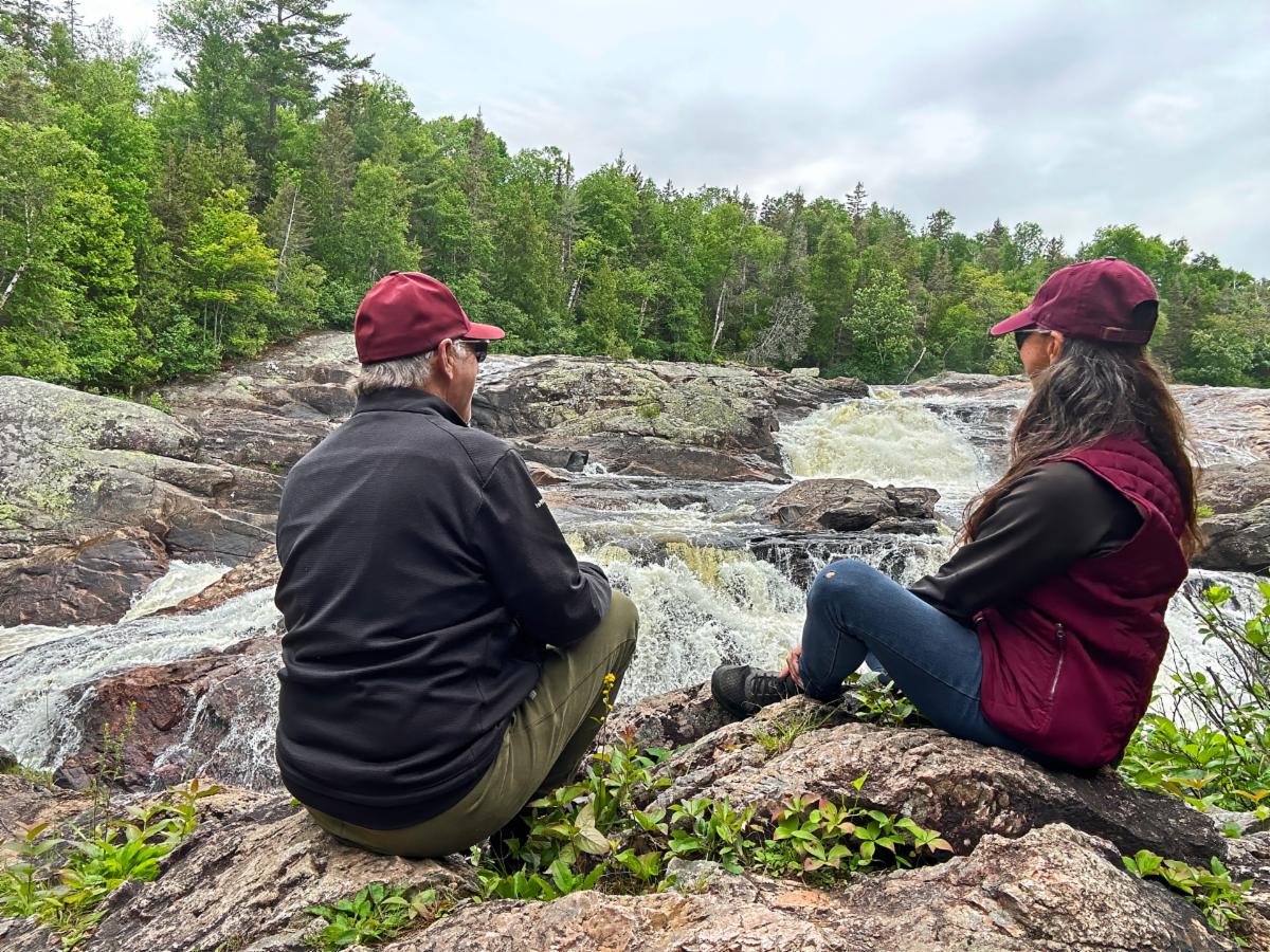
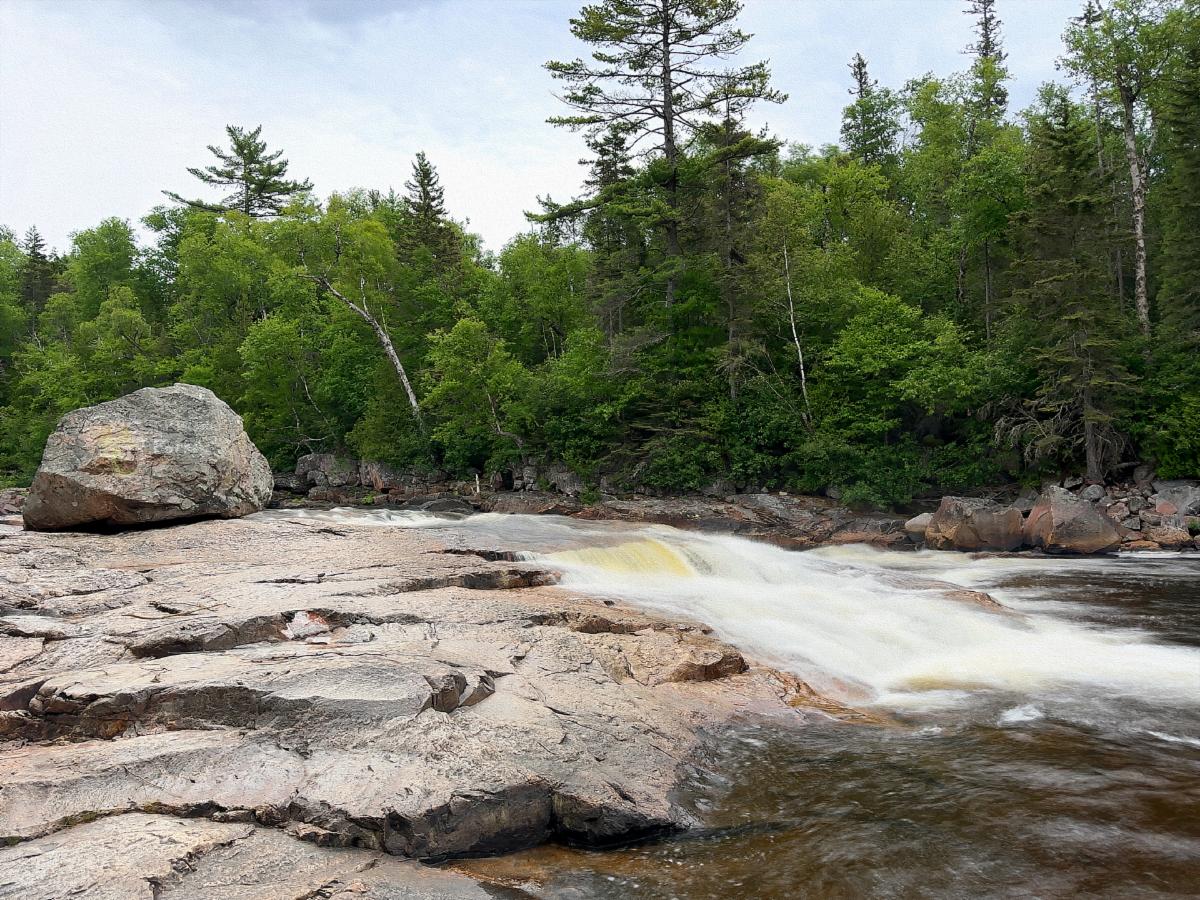
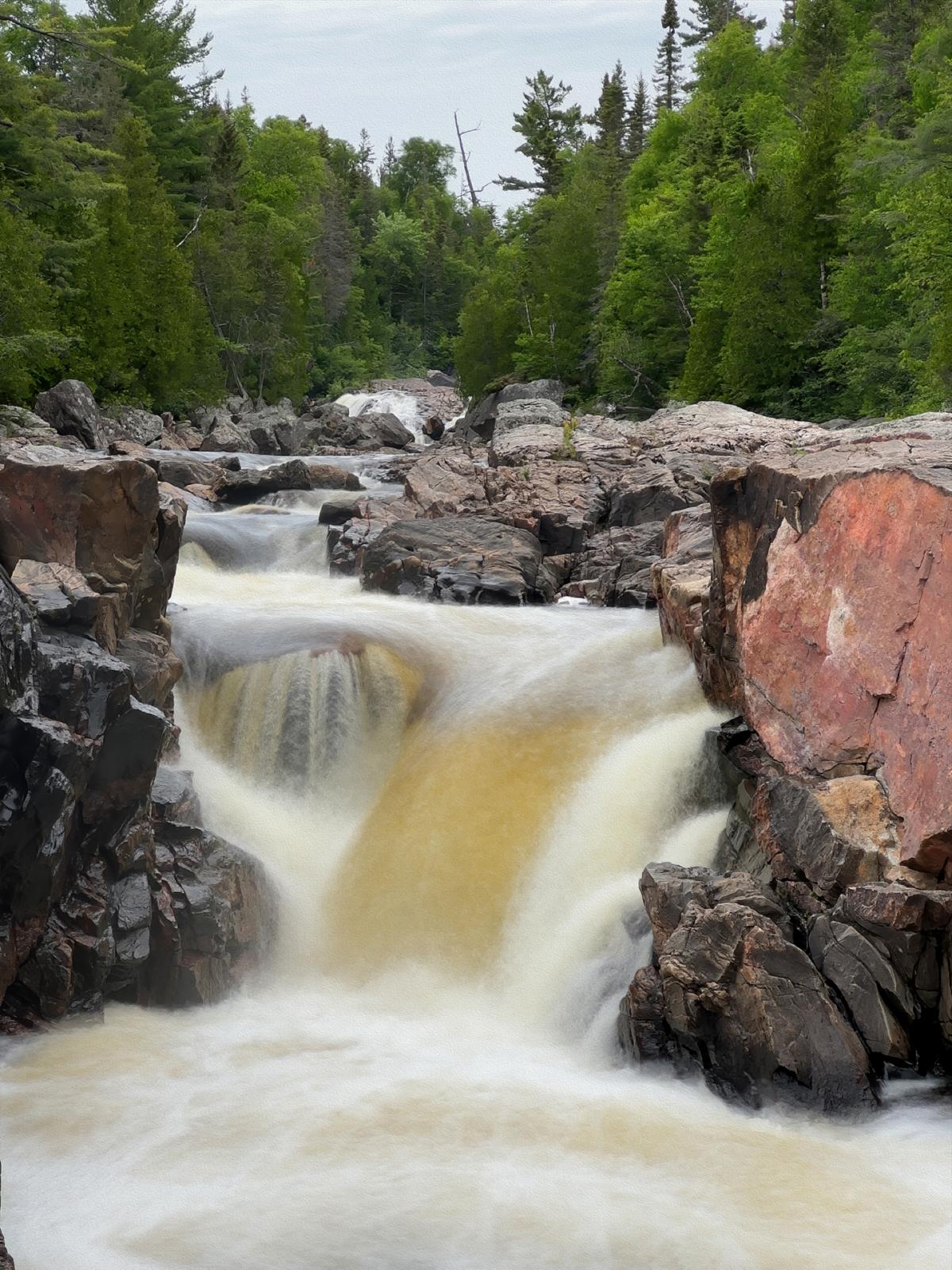
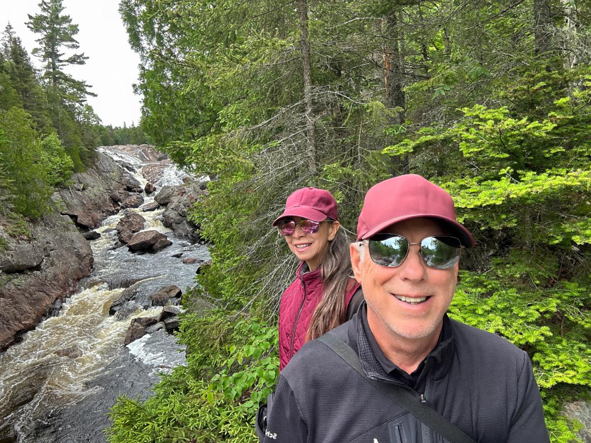
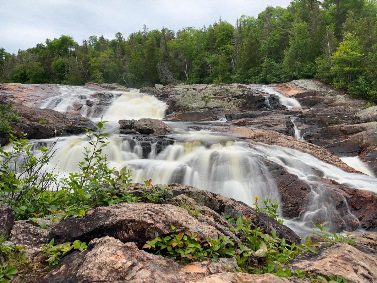
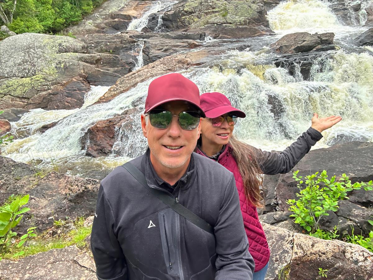
We are enjoying another contemplative moment, this time in front of a long stretch of falls on the Sand River in the Lake Superior Provincial Park.

Friday, June 28, 2024


AGAWA ROCK PICTOGRAPHS


If predictions are accurate, we are entering a cold, wet period starting this afternoon, leaving the morning as the best part of the day. We left V-Jer at 9 a.m., which was reasonably early for us. We headed for the pictographs painted on the side of a cliffside practically in Lake Superior. It is the most popular site in the park. The trailhead leading to the pictographs is at the southern tip of the park, some 40 miles from our campground. 


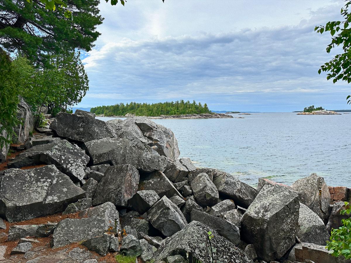
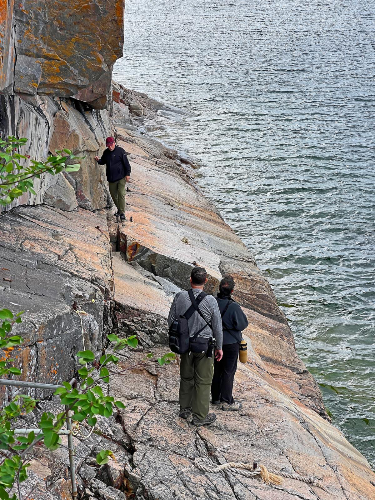
We arrived at the trailhead at 9:45. Canadians, it seems, are like the Spanish. They don’t get going until later in the morning. We had the trail to ourselves. Only one other couple was at the trail. They were birders and took their merry time reaching the pictographs, which gave us unfettered access. This was good because you had to precariously pick your way single-file along the cliff face or slide into the frigid waters of Gitche-Gumee. There were 6 inches of flat rock surface next to the cliff before the rock angled off at a steep 45º angle into the water, and the rock was slippery. A sign warned:


“Death and injury have occurred when highly unpredictable waves have washed visitors off the rock ledge while viewing the pictographs. Extreme caution is necessary at this site.

Rocks and ledge are slippery!”


Often, dire warning signs are overkill. Not this one. On my first step onto the rock, I started to slip. After that, I was glued to the 6 inches of flat rock against the cliff. This made taking pictures of the red pictographs a challenge. How do you shoot a photo when your face practically kisses the wall? It took some magic and trickery, but I got some shots.


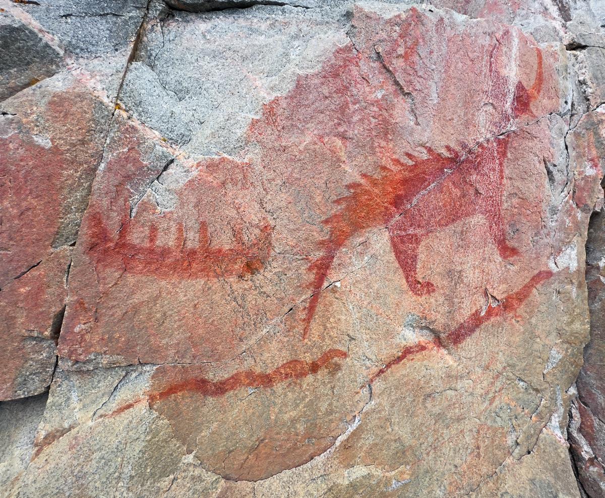
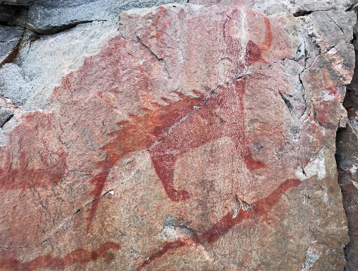
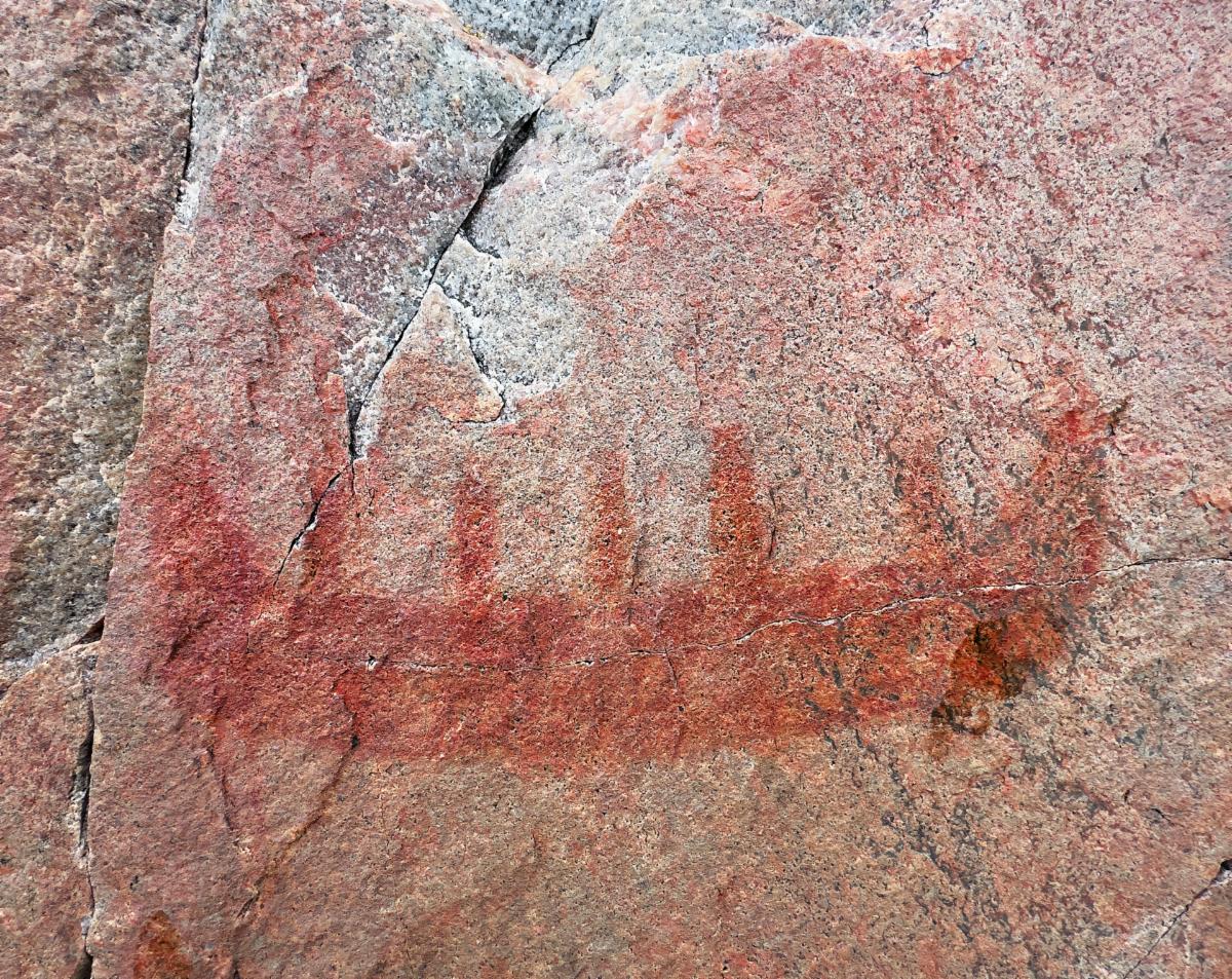
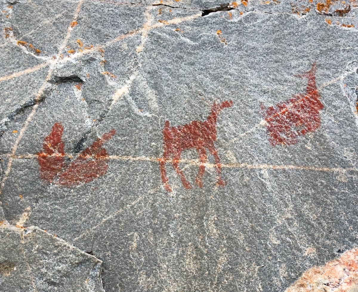
Three years ago, we saw hundreds of amazing petroglyphs in New Mexico and Utah. Petroglyphs are pictures etched into rocks. These are pictographs, and they are painted on the rocks using a natural pigment. Although faded, you can still make out fish, canoes, and animals. It is incredible how petroglyphs and pictographs are often placed in odd, out-of-the-way, hard-to-get-to places. Many of these artists had to be expert rock climbers to boot.


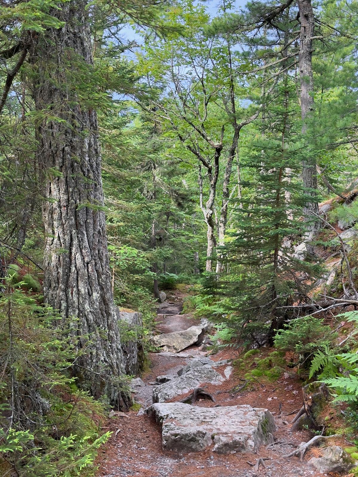
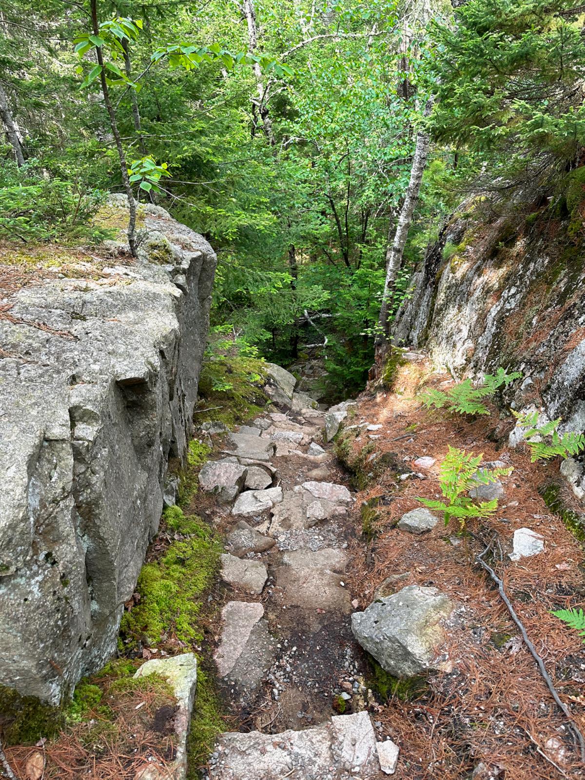
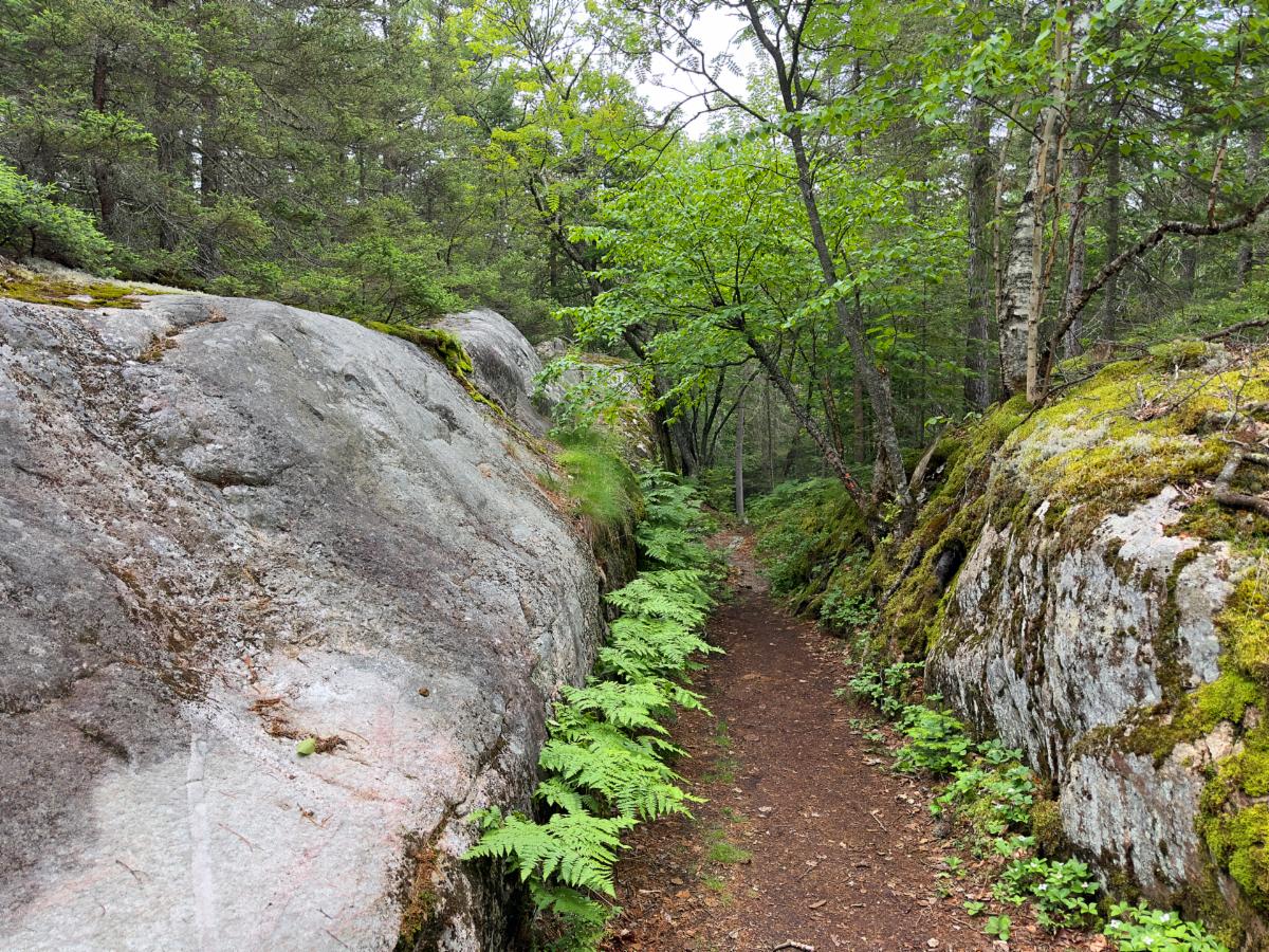
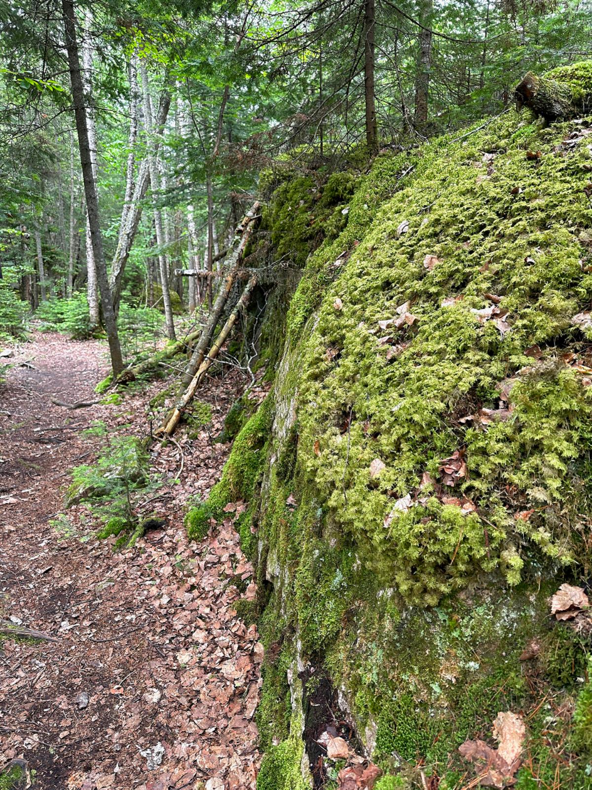
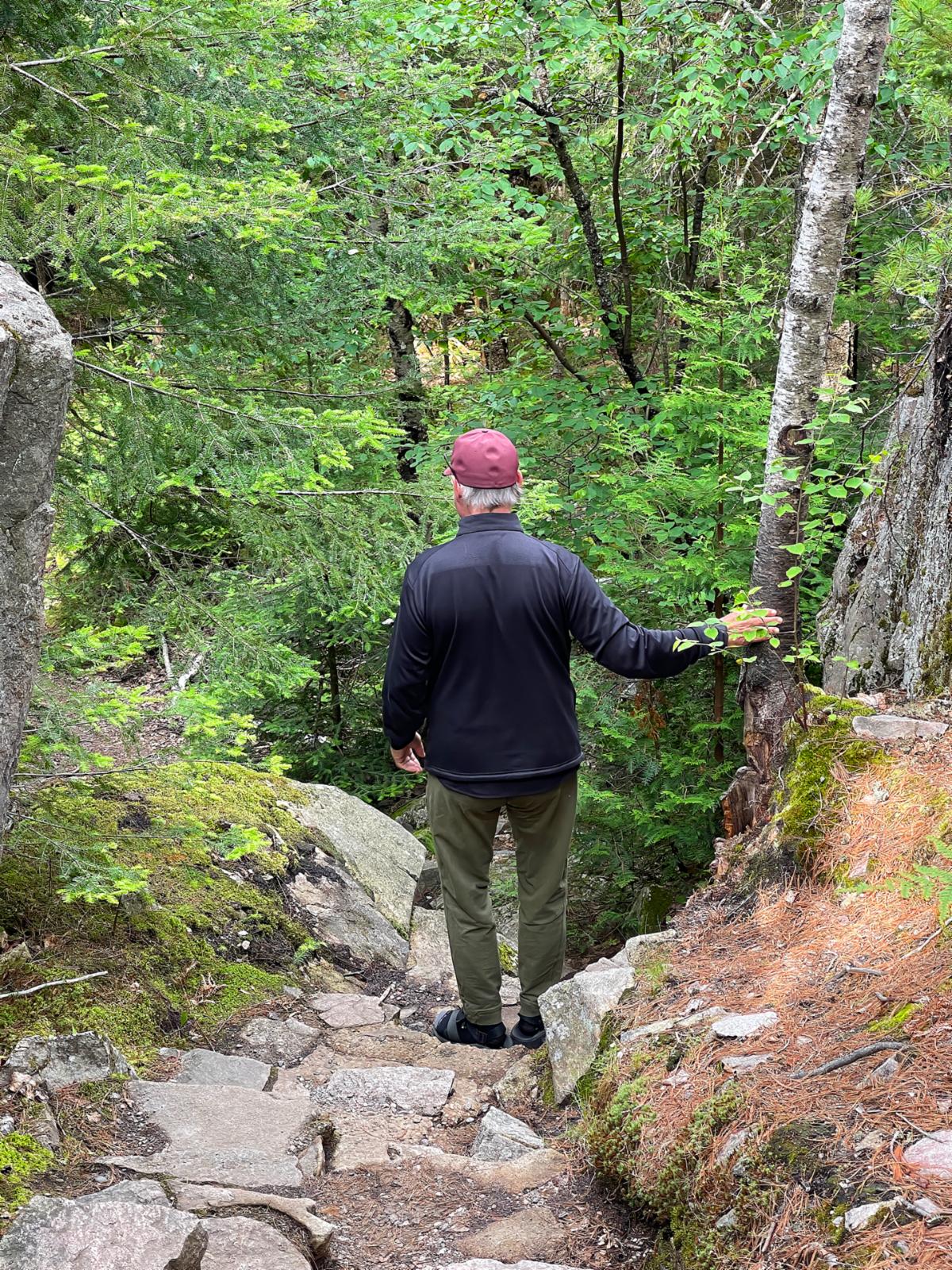
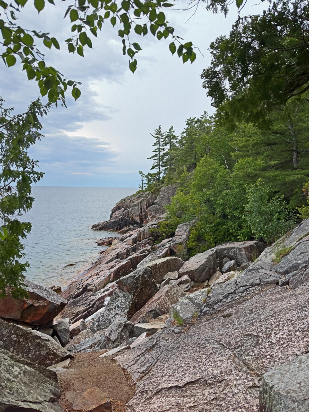
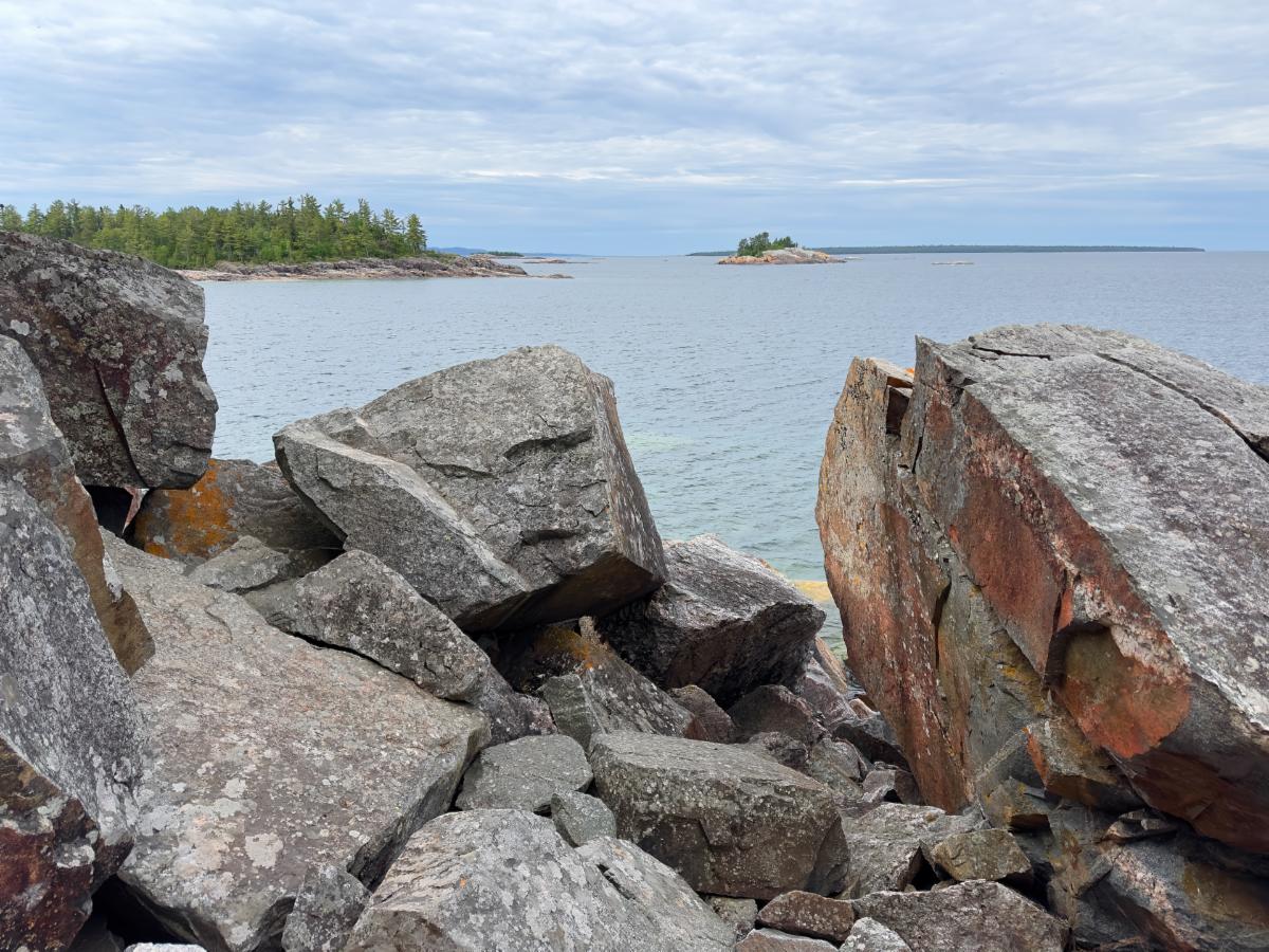
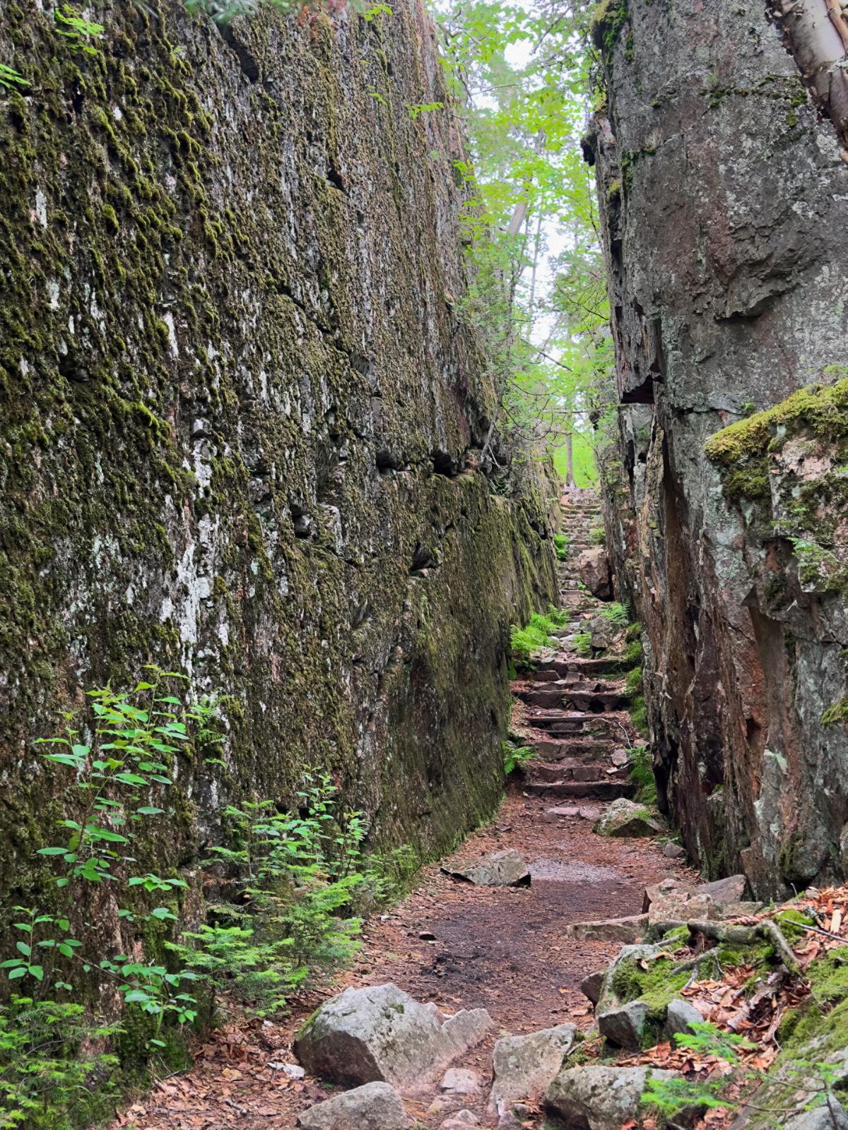
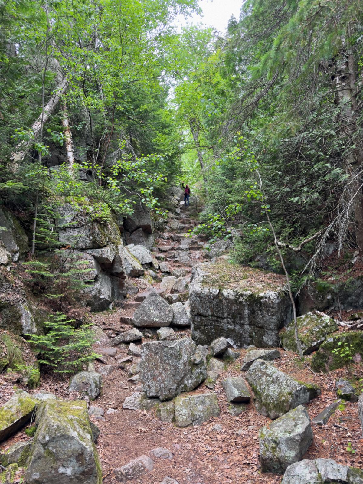
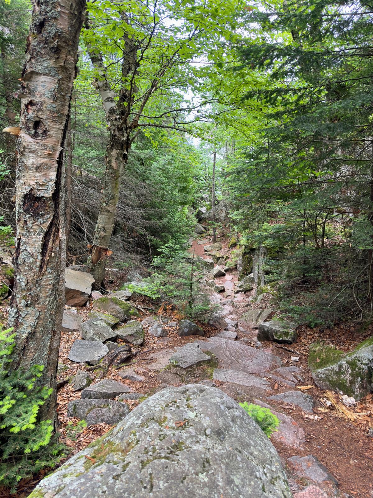
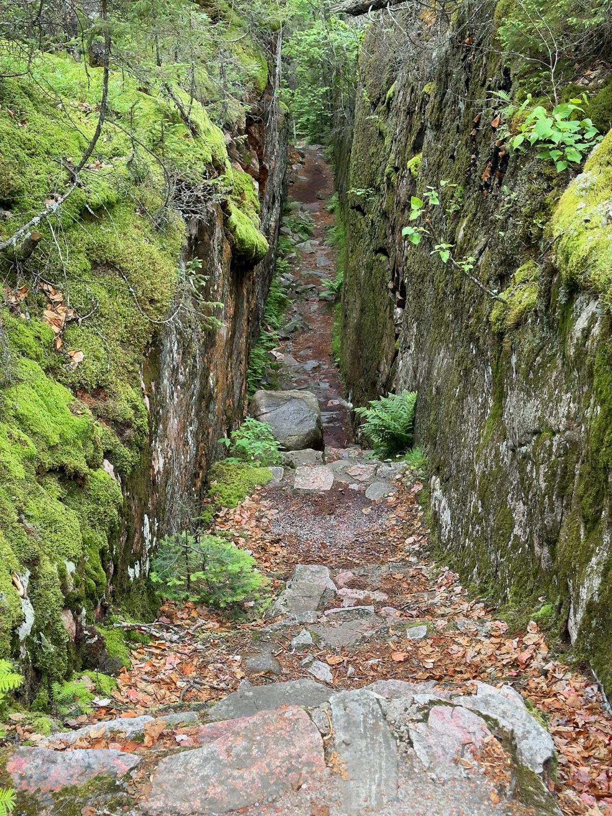
The trail to the pictographs was no picnic. The 1-km looping trail plunges down to the waterfront between and through narrow slots carved by nature into giant rock slabs. As I have stated before, Ontario is one massive block of rock.

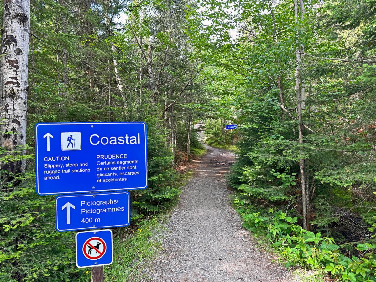
The trailhead for the Coastal Trail that leads to the pictographs.

Above and below: The Coastal Trail, to the pictographs, is exceptionally rugged.

The slanting rock into Lake Superior is slippery, so I am confining myself to the tiny, level ledge close to the cliff edge. The birding couple patiently wait for me to return.

The pictographs are as amazing as the petroglyphs we saw in Southwest Utah.

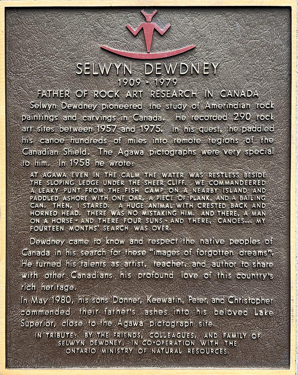
Above and below: Several info plaques were near the pictographs. Selwyn Dewdney studied pictographs and was especially impressed with the Agawa art.

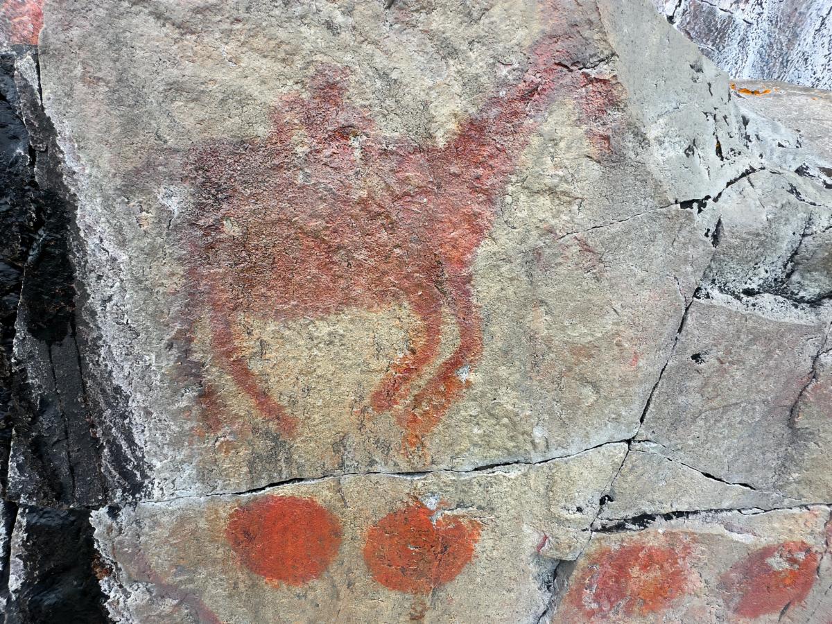
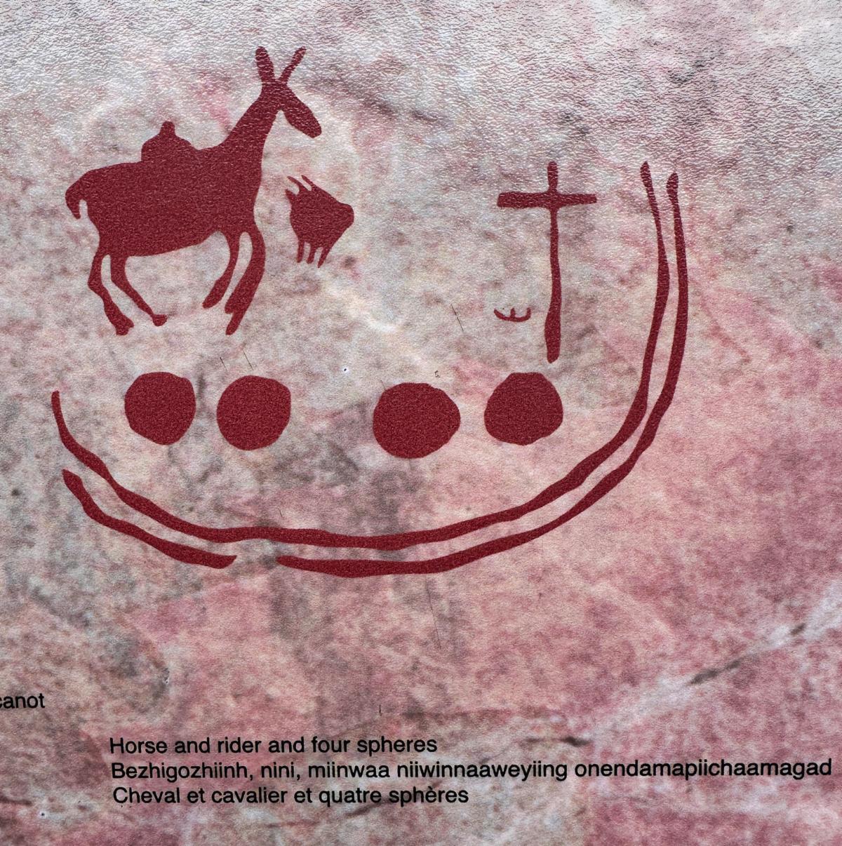
Horse and rider? The blob on the horse looks more like a pack of some kind. Sadly, there wasn't an explanation of spheres or the other symbols.

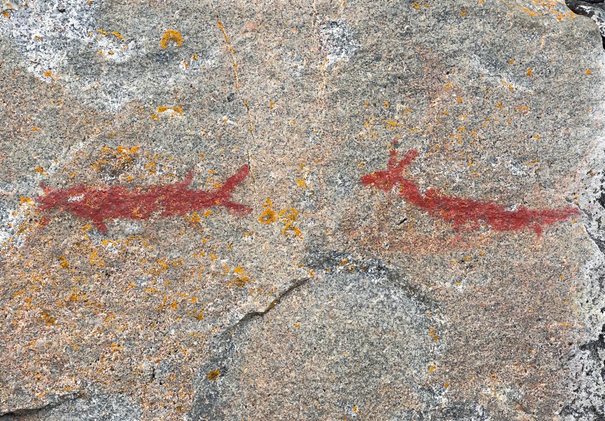
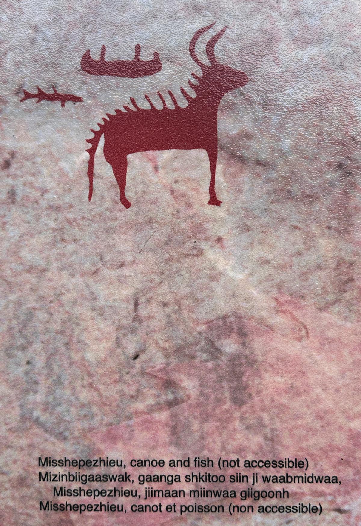
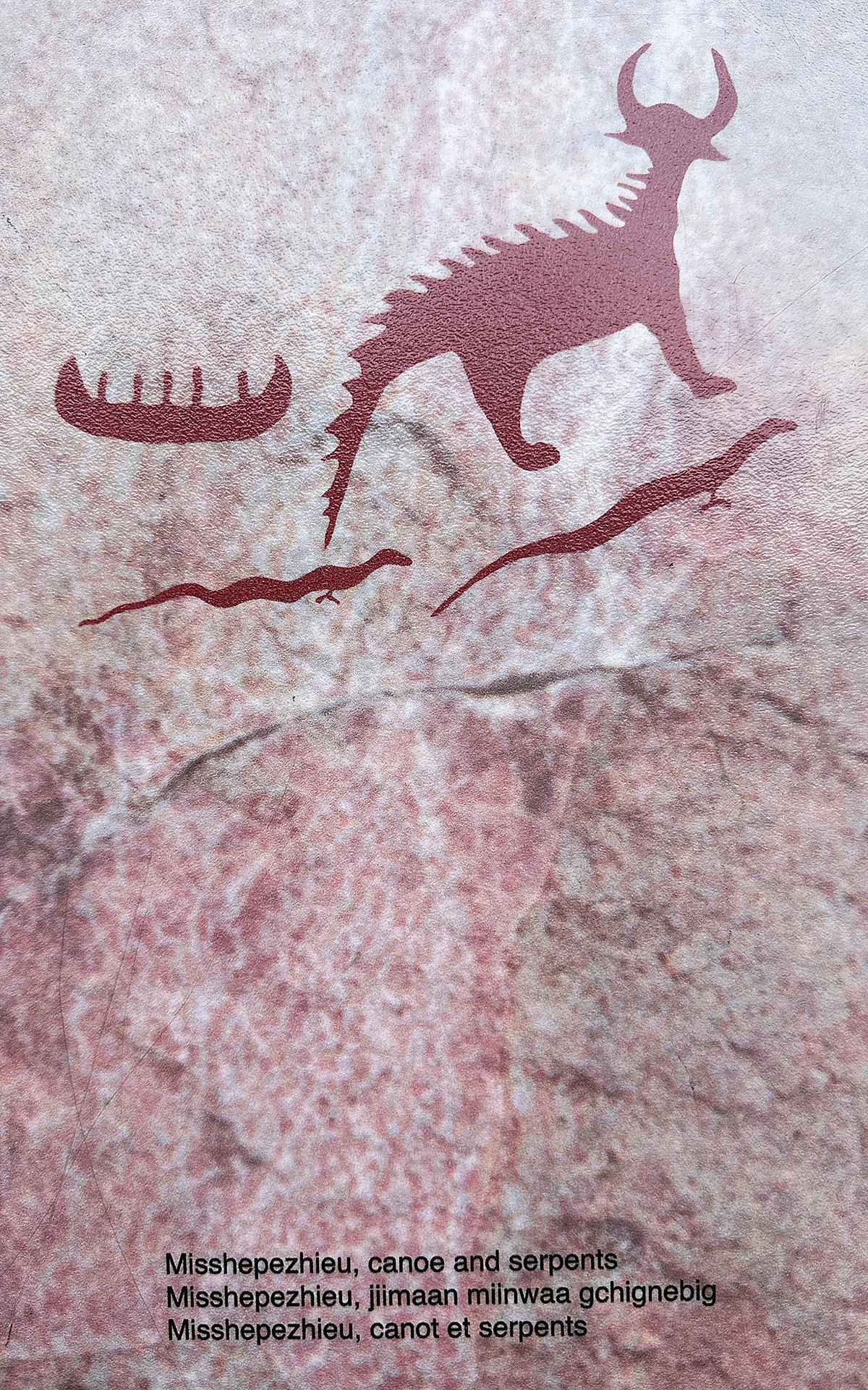
Apparently, the razorback animal is called Misshepezhieu. Again, there wasn't an explanation of what the animal was. I looked it up. It was referring to an Ojibwa mythical underwater panther in Lake Superior.

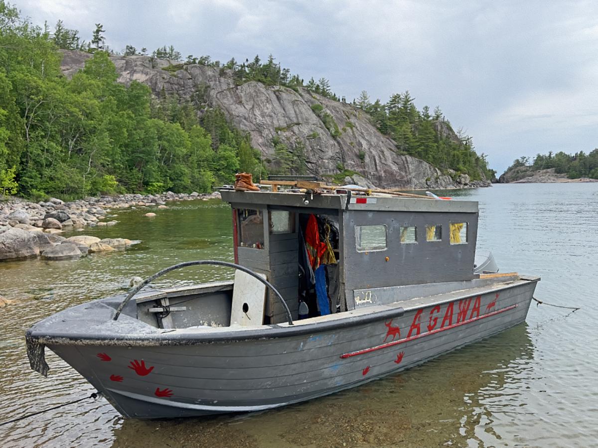
The access road to the Coastal Trail continues to a small boat landing. This working boat was tied up at the landing. Notice the replica pictographs on its hull.

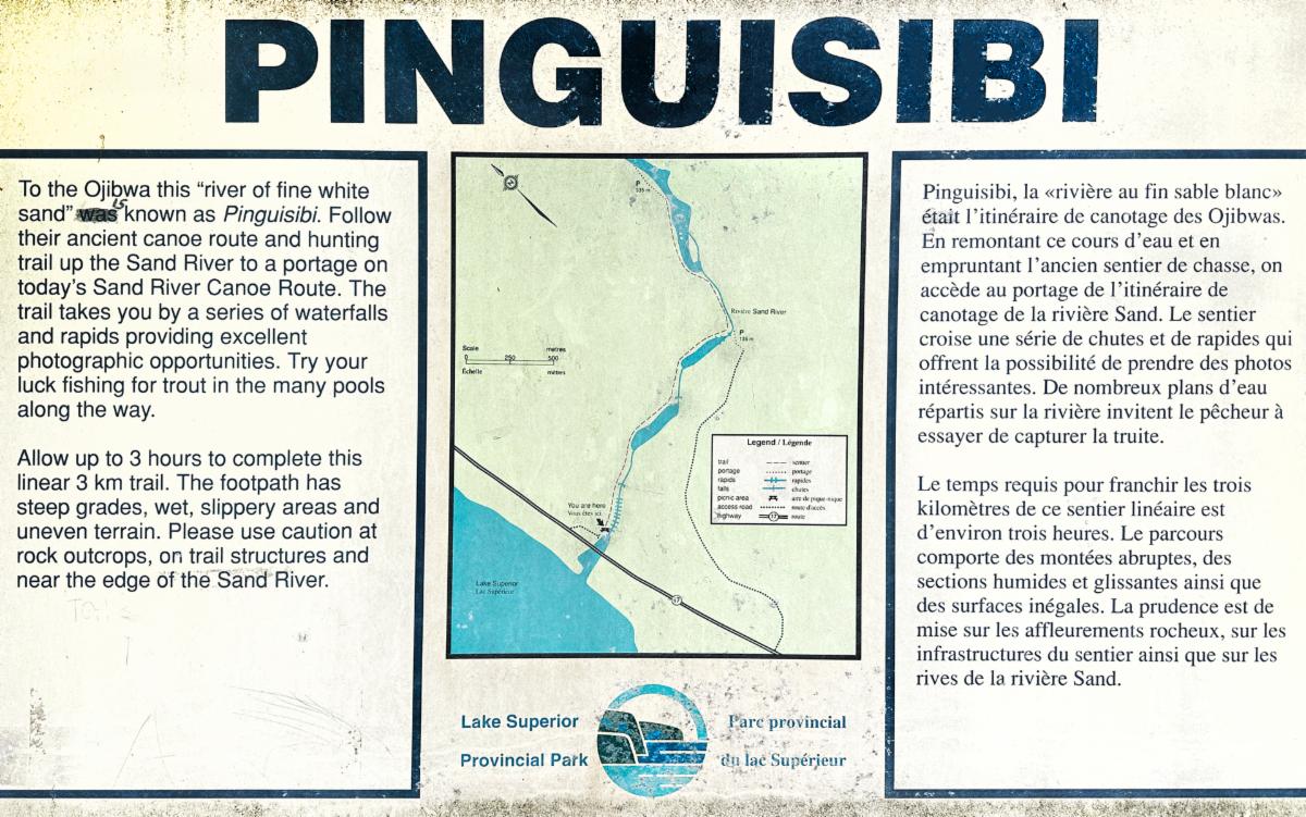
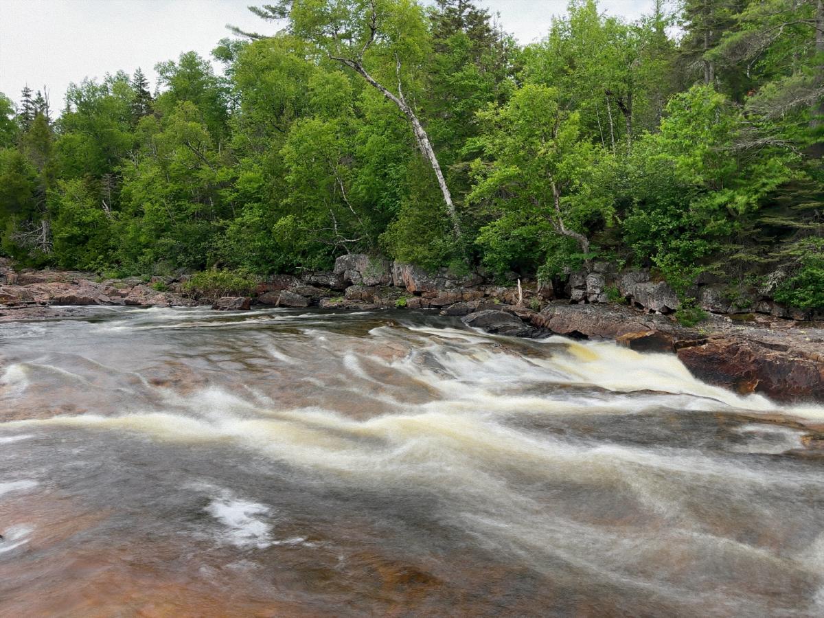
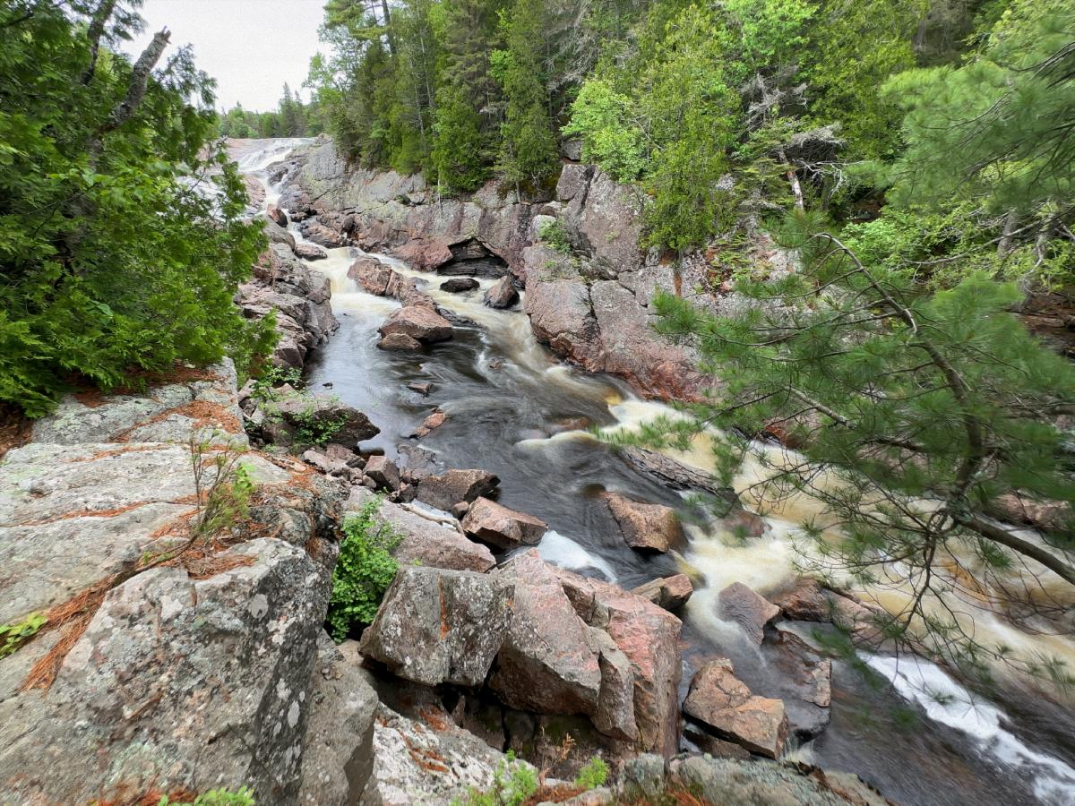
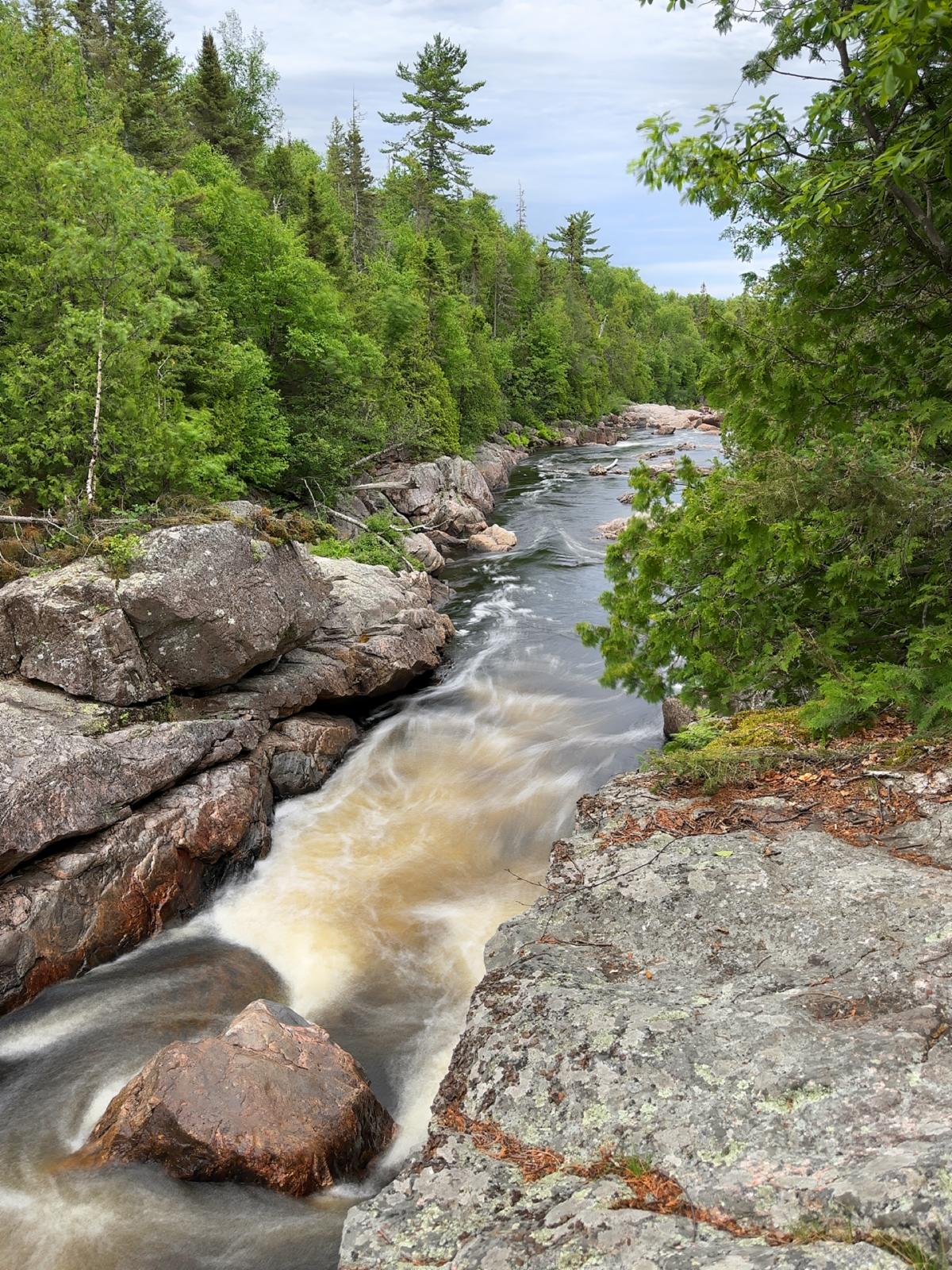
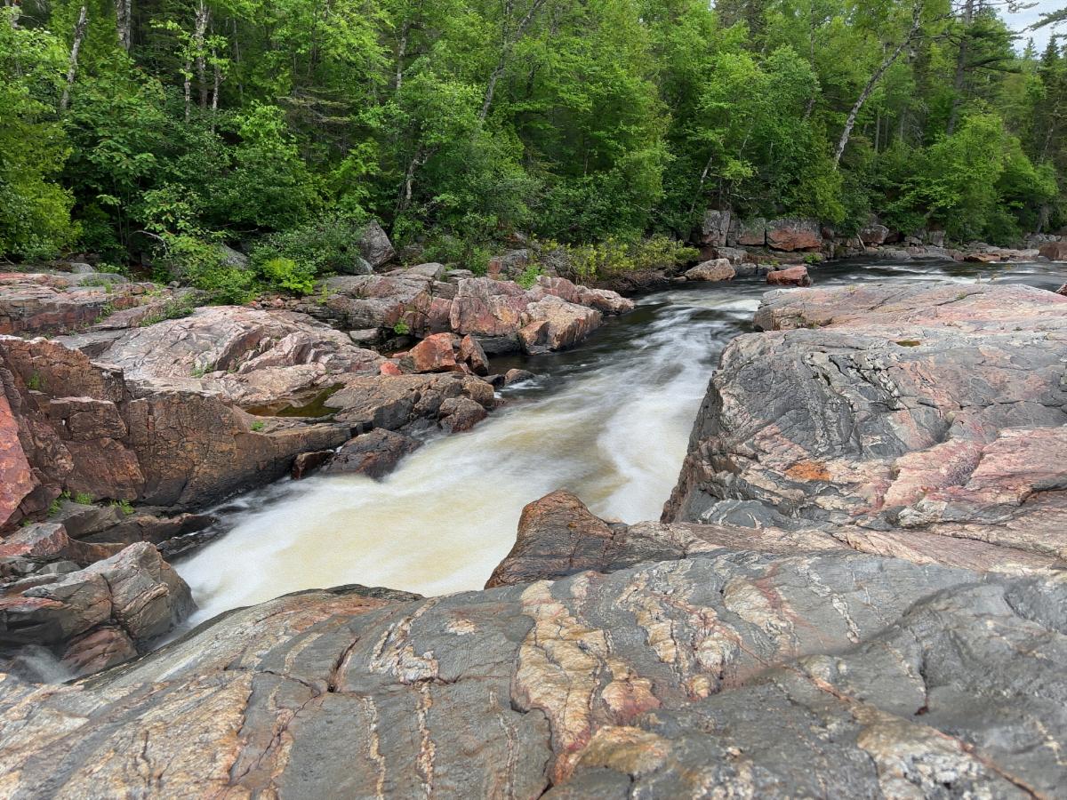
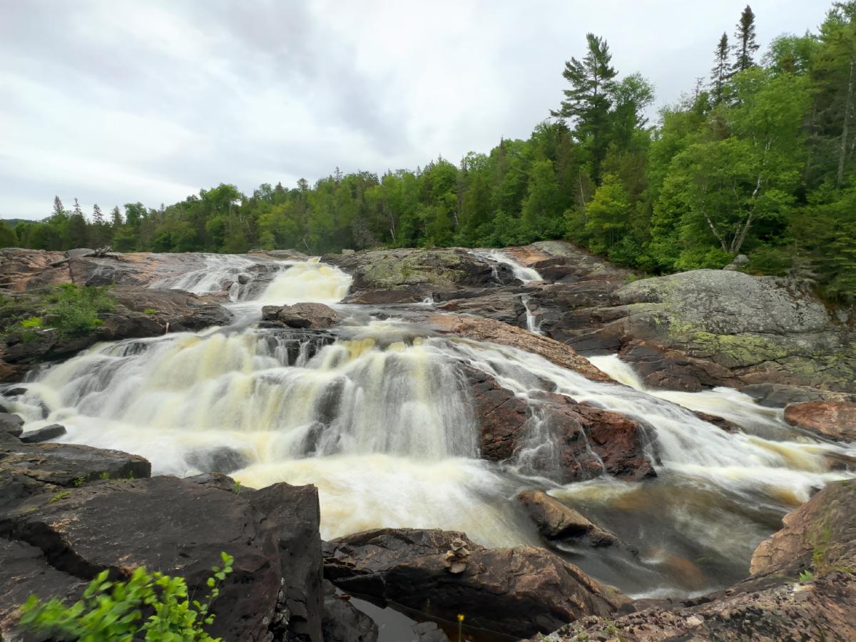
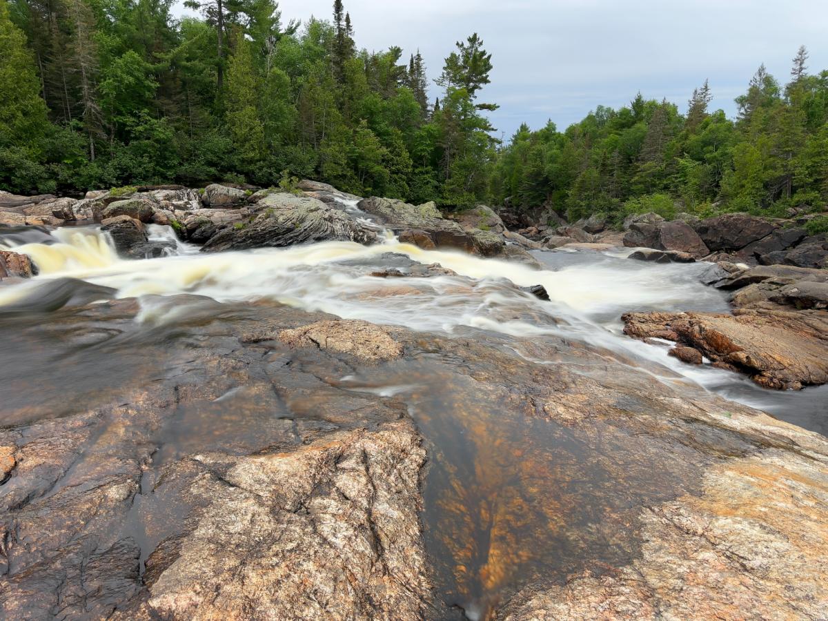
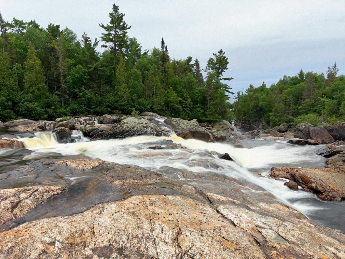
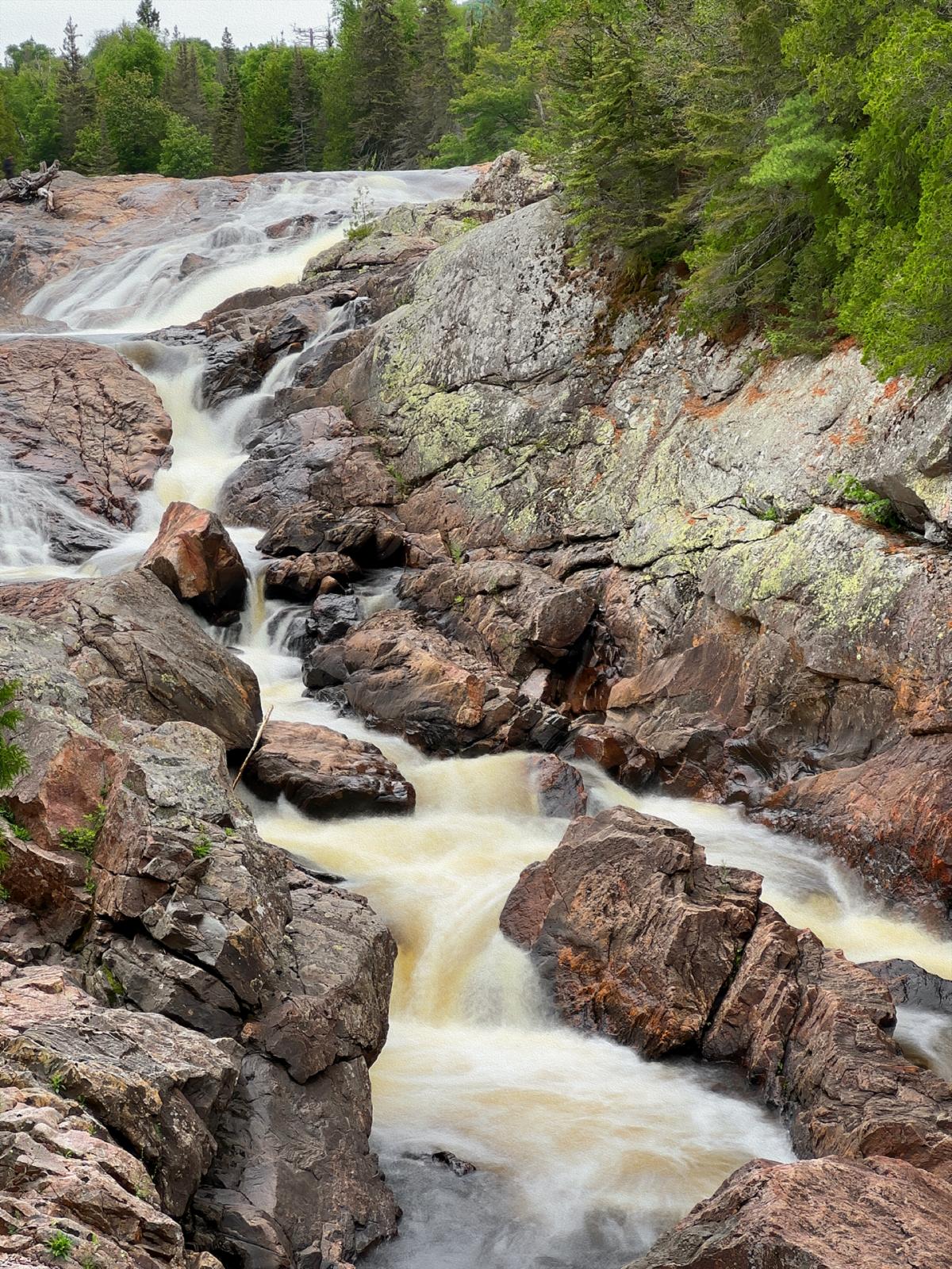
Our next trail was the Pinguisibi Trail, which ran along the cascading Sand River. On the park maps, the Sand River is listed as a canoe trail. Well, I don’t think so. Even an expert kayaker would probably die on those wild drops. They made for some excellent photos, though.

A plaque at the Pinguisibi trailhead. The info plaque did indicate that the Ojibwa portaged around this section of the Sand River.

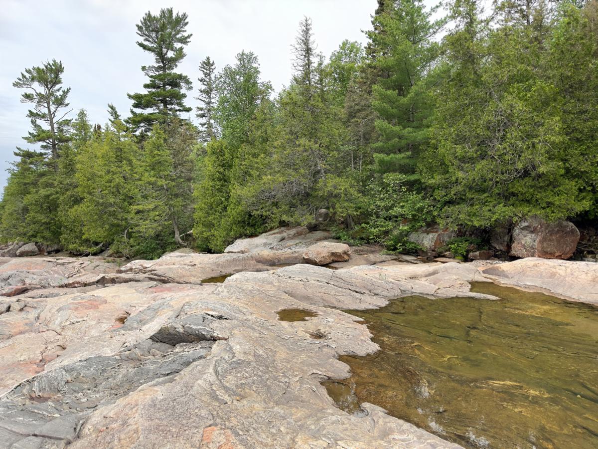
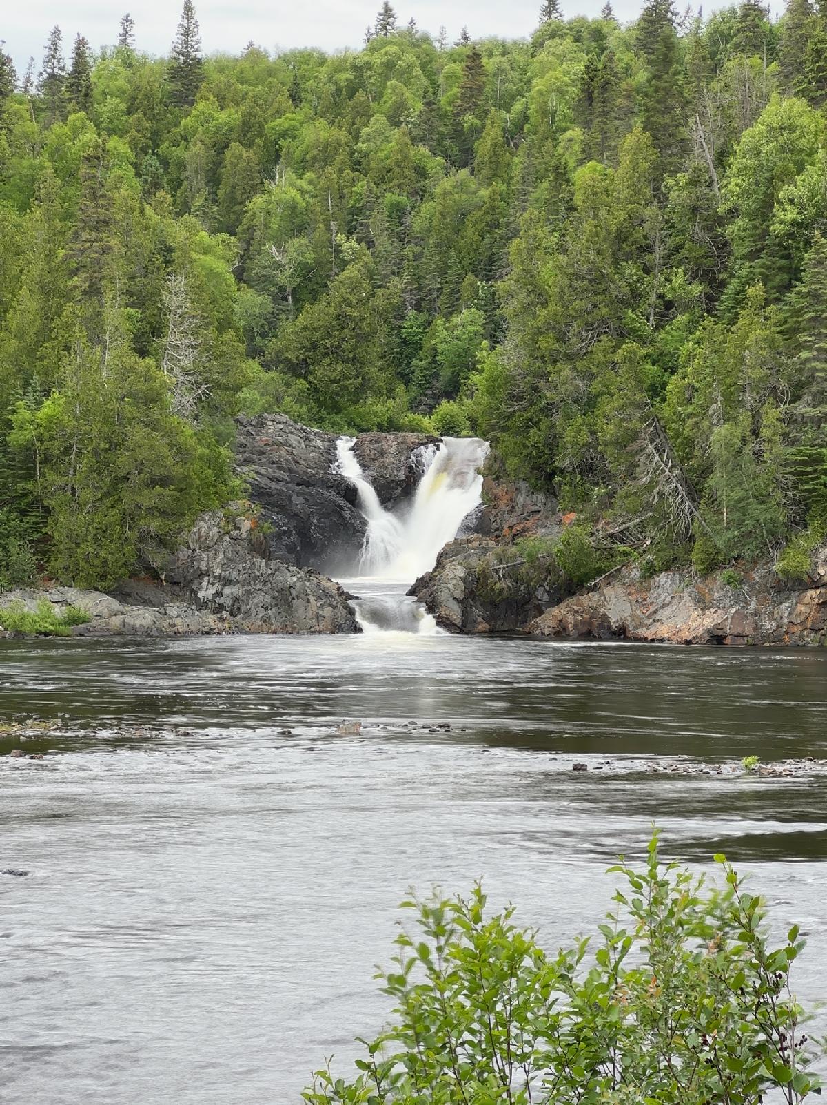
Sand River tumbles to Lake Superior. I'm not sure why the Ojibwa called this the Sand River. I saw nothing but solid rock.

By this time, we were pushing our luck weatherwise. The pretty morning was succumbing to a drab, dark grey overcast. Our plan was to drive up to Wawa. We needed a full tank of gas before tackling the next barren stretch of road to Sault Ste. Marie. If the rain held off, we could visit the two waterfalls just outside of Wawa and walk Wawa’s lakeside boardwalk. If and when it rained, we could retreat to the town’s library and play with the WiFi.


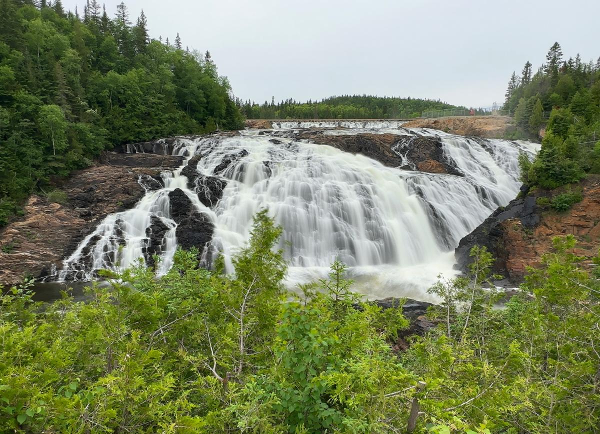
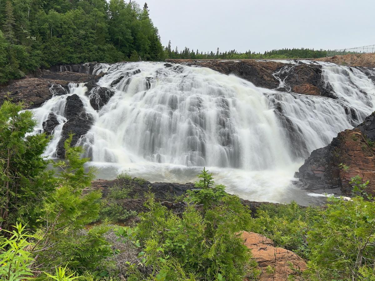
Silver Falls is the first of Wawa’s waterfalls we visited. It was a letdown. It was small and off in the distance, with poor access. Next was the Magpie High Falls. We had to drive 3 km of washboard gravel to reach it, but it was more impressive and had a nice little park next to it.

Silver Falls, just outside of Wawa, was a bit of a letdown. Access to the small falls is limited.

Magpie High Falls was much larger than Silver Falls. A 2-km trail connects the two waterfalls, but the trail is rugged and overgrown, making it a challenging trek. We chose to drive the road between the two waterfalls, which was very rugged in its own right.

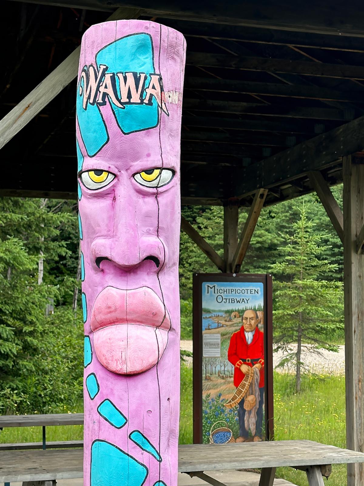
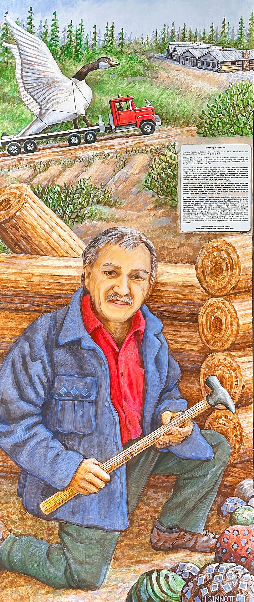
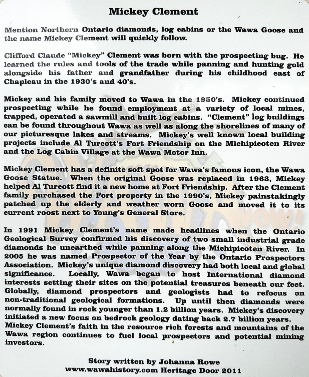
There is a small park at Magpie High Falls that includes more info plaques celebrating the local historical characters.

Above and below: Mickey Clement was quite a colorful character.

On our way to the boardwalk, it started to sprinkle, so off we went to the library. The WiFi at the library was lightning-fast. I worked on my trip journals and photos. It was 3:30 p.m. when we got to the library. There were a handful of young school kids, fresh out of their last day of school, and they were pumped. The library has a game box, and it was entertaining listening to them compete against whatever terror the game was throwing at them. 


We learned that July 1st is Canada Day, a national holiday. Everyone in the library was talking about it and hoping the weather would be nice. As we left, just before the 5 p.m. closing, we wished the friendly librarian a happy Canada Day, and she smiled with delight. I sure like Canadians.


On the way back to camp, I stopped off at the Beer Store, mostly out of curiosity. It didn't have the LCBO signage we saw on other liquor stores. I walked into a rather large building that was almost empty. There was one cooler with a dozen different brands of beers sold as single cans and one stack of cases. 


I asked the attendant about the difference between their beer store and the LCBO stores. I was schooled that the Beer Store, a private business, is sanctioned by the LCBO; however, it can only sell a limited variety of beer. LCBO stores can sell liquor, wine, and beer. A limited variety of beer, I privately thought, is right as I looked at the huge expanse of empty floor space in the Beer Store.


Oh well, I bought a couple more flavors from the Waterloo Brewery, my favorite Ontario brewer. At supper, I popped open a Waterloo Brewery's Island Style Lager, and it was terrific.


LAKE SUPERIOR PROVINCIAL PARK CAMPGROUND


There are two campgrounds separated by 30 miles. We were in the northern Rabbit Blanket loop, the smallest of the two campgrounds with 30 sites. The site layouts varied radically. Most were OK, but a handful were terrific, and a handful, like #R3, were terrible. That is the problem with advanced booking. It is hard to know what you are getting. Half the sites provided electricity. A dump station and freshwater fillup were provided. The campground roads were atrocious.


(Note: Oftentimes there is a photo of each site on the reservation web page, but photos can be deceiving. Some reservation websites will list some characteristics of each site, like how level the site is. A few reservation websites provide reviews of each site. That can be helpful. Even if all of these aids are provided, you can pull up to a site and be in for a real surprise.)

Welcome to All Over The Map Travel Ventures!


Join us as we share our personal travel stories, inspiring you to relax and plan your own adventures. Our blog, a labor of love, helps us keep our memories fresh and connect with fellow travel enthusiasts.


Enjoy exploring our journeys, and if you know someone who might like our travel content, please share our site with them.


Stay up-to-date with our latest destinations by joining our free mailing list. You can also reply to this email to chat with us directly. We’re here to help you plan your next trip, share travel tips, or say hello.


Until next time, safe travels, and have fun!

-- David and Wanda Zuege


Message us: 715-252-6664 | 715-252-3326
Email: alloverthemaptravelventures@gmail.com


North America . Europe . Mexico . Asia . Travel Resources . RV Product Reviews

Join Our Email List