Summer is upon us! The warmer months bring an increase in visitors to our store, which we are thoroughly enjoying. We are also excited to have a new addition to our little team! Max has just graduated from St Michael's College with a major in history and his enthusiasm for history and maps is a true delight. He also plays the piano and harpsicord. We are so happy to have him on our team!
We are in Wedding Season here in Chatham, with happy couples from near and far tying the knot at one of the many venues on Cape Cod. If you will be attending a wedding this year, perhaps an antique map would be the perfect gift to celebrate the newly weds' love story.
Or maybe a map would be just the thing for Father's Day, or your graduate who is off to their next adventure. With so many fascinating maps available, you are sure to find the perfect gift!
|
|
Below, we shall highlight some exciting new maps, but you can always visit our Newly Listed Maps section to see everything from the past month or so. We have a Great Maps - Super Deals category that offers our discounted items. And don't forget that we also have a category specifically for maps under $100!
If you are looking for something specific, we recommend using the search function or the "Filter By" function on the left side above the listings to search within a category.
|
|
An Extremely Rare Map of Boston |
|
This rare map of Boston is a first edition steel engraving by Boynton and published by Dearborn. It is rarely seen on the market. This map shows Boston's earliest railroads, and includes a list of important institutions, buildings, churches, and public houses. With west oriented to the top and vibrant old color, it is a must for any serious Boston map collector. |
|
1839 - A New & Complete Map of the City of Boston, with part of Charlestown, Cambridge & Roxbury, From the best Authorities by G.W. Boynton for Nathaniel Dearborn & Son - Antique Map |
|
Maps of "Lower" Fairfield County, CT |
|
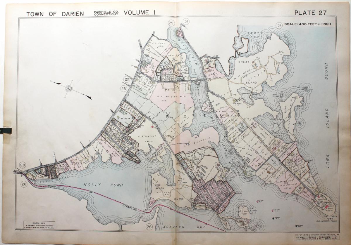
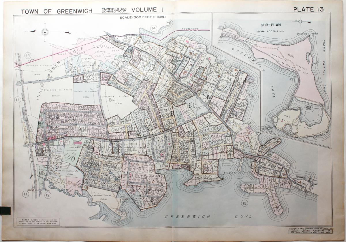
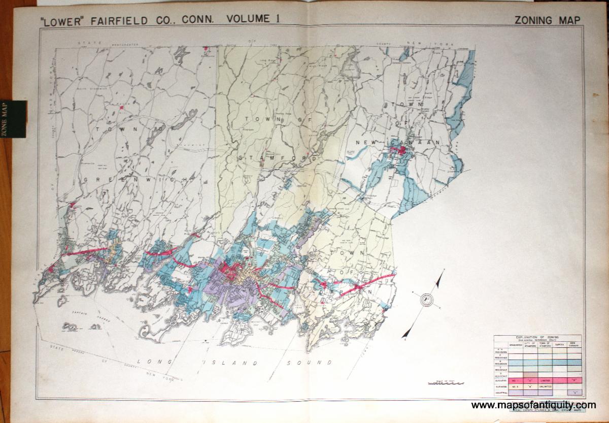
These 1938 maps of Darien, Greenwich, New Canaan, and Stamford feature wonderful original color, with the names of property owners, and many country clubs. |
|
1938 - [Part of] Town of Darien, Fairfield County, Connecticut, Plate 27 - Antique Map |
|
1938 - [Part of] Town of Greenwich, Fairfield County, Connecticut, Plate 13 - Antique Map |
|
1938 - "Lower" Fairfield County, Connecticut, Volume I Zoning Map (Greenwich, Stamford, New Canaan, Darien) - Antique Map |
|
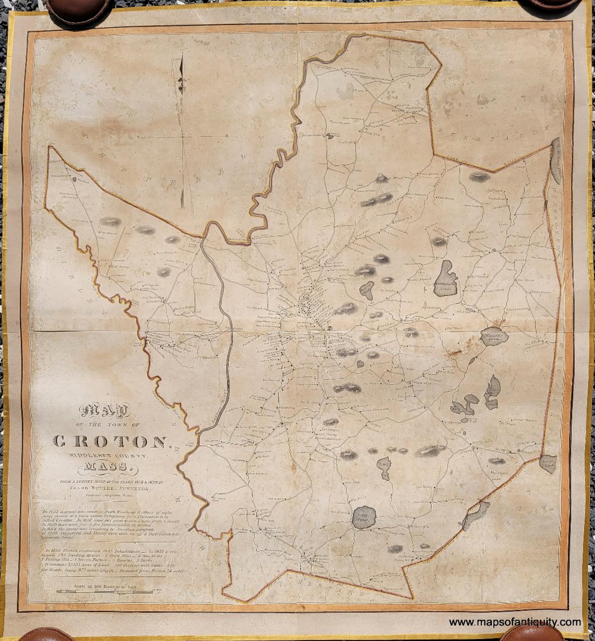
There is nothing quite like looking at an antique map of your town or city and imagining what life may have been like at that time. This 1831 map of Groton, Massachusetts takes us back to a time before railroads, when all the roads were carriage roads. This map, composed for a state-wide effort to map the entire state of Massachusetts, is one of the earliest maps of the town of Groton and includes Groton Academy. |
|
1831 - A Map of the Town of Groton, Middlesex County, Massachusetts - Antique Map |
|
19th Century Facsimiles of Famous Maps of Paris |
|
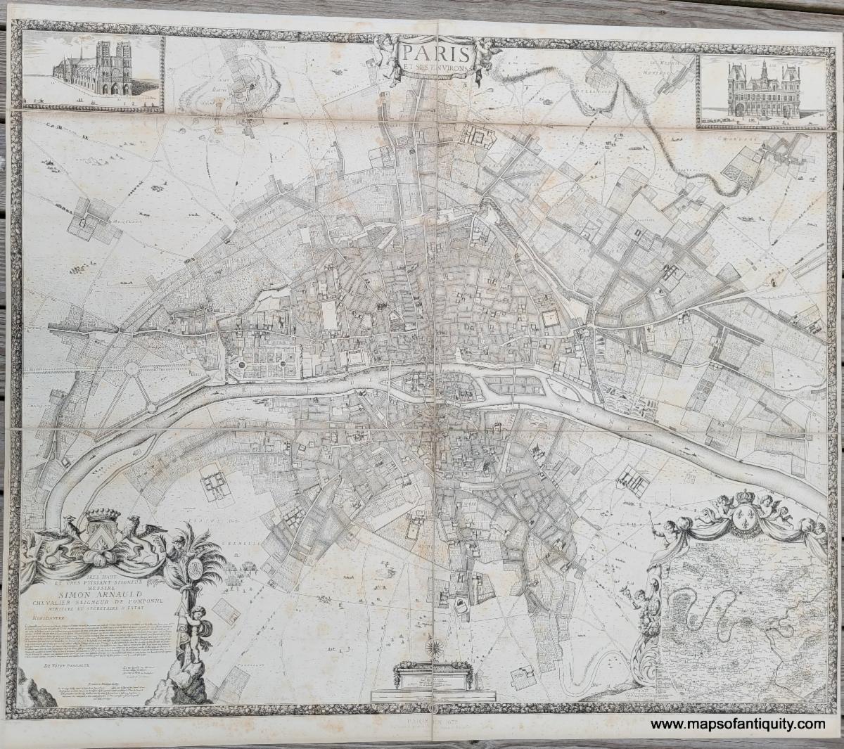
It is a strange thing to try to describe a map that was created in the 1800s, but is a re-creation of an earlier map. These impressive maps of Paris ranging in date from 1547 to 1697 were published in 1880 under the direction of Jean-Charles Adolphe Alphand. With exquisite detail, these maps are a unique option for anyone who loves the most famous maps of Paris (but not their hefty prices). |
|
1880 - Paris de 1512 a 1547 - Le Ville, Cite, Universite de Paris (The Tapestry Map, now lost)- Antique Map |
|
1880 - Paris en 1672 - Paris et ses Environs - Antique Map |
|
1880 - Paris en 1697 - Le Nouveau Plan de Paris - Antique Map |
|
We wish we could highlight every newly-added map, chart, and print and give each one its moment in the spotlight, but unfortunately it just isn't possible. Here are a few more noteworthy items you don't want to miss! |
|
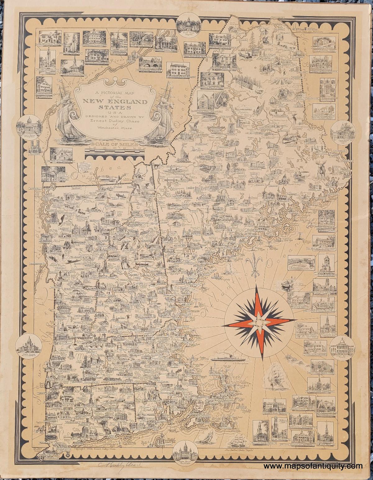
1939 - A Pictorial Map of the New England States, U.S.A. Designed and Drawn by Ernest Dudley Chase of Winchester, Mass. - Antique Map |
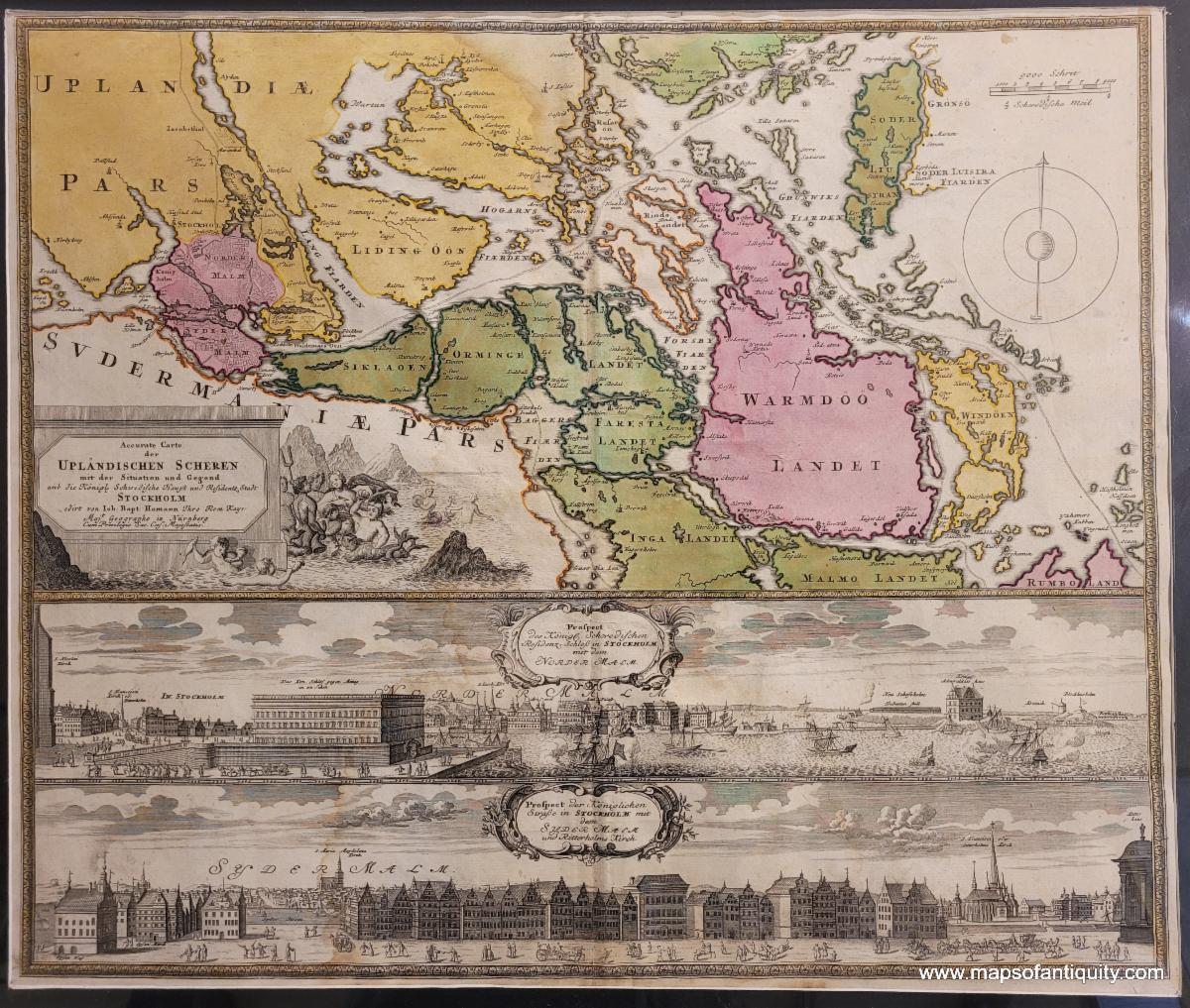
1730 circa - Stockholm, Sweden - Accurate Carte der Uplandischen Scheren mit der Situation und Gegend…- Antique Map |
|
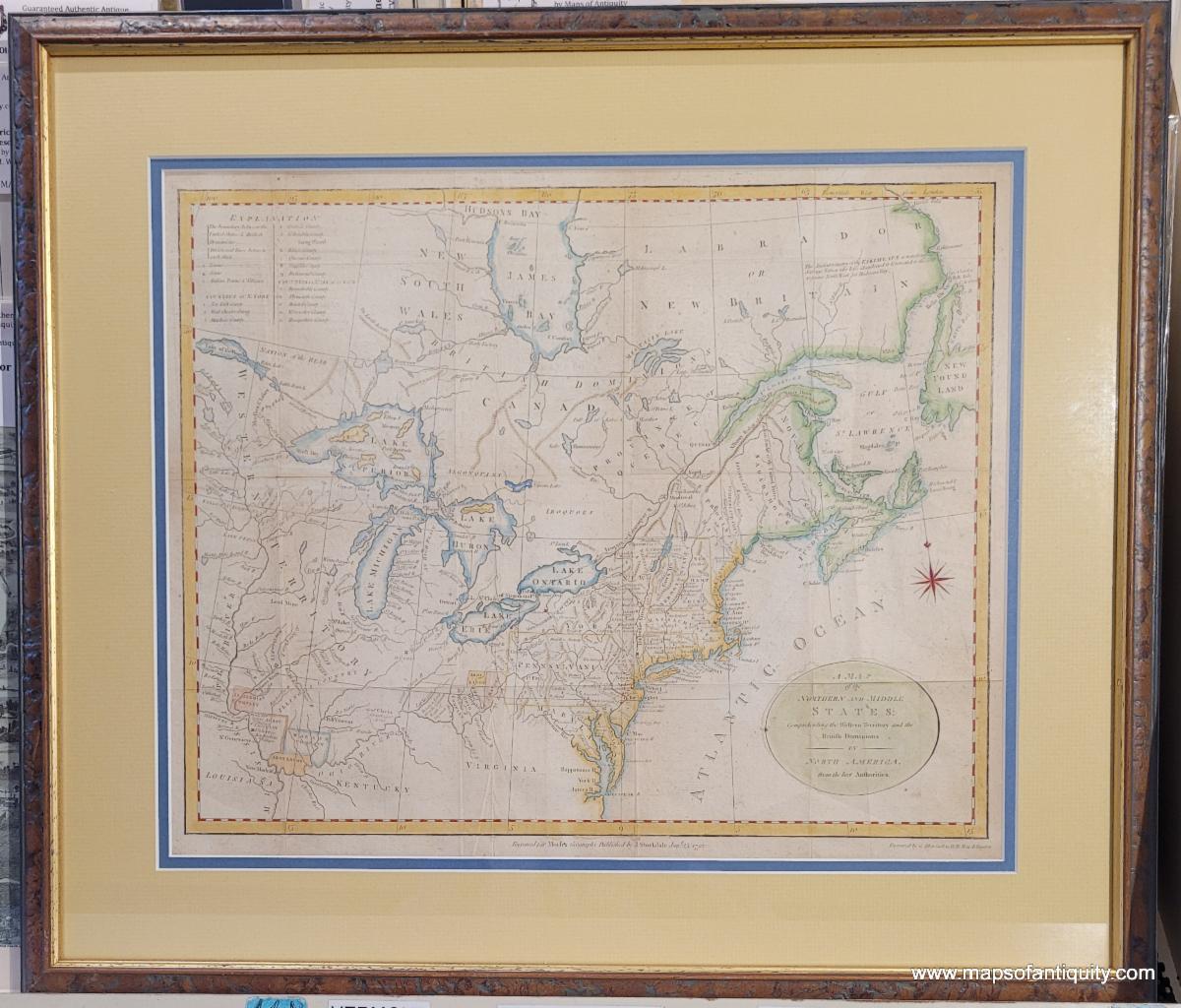
1792 - A Map of the Northern and Middle States; Comprehending the Western Territory and the British Dominions in north America. From the Best Authorities. - Antique Map |
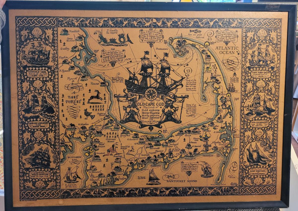
1930 - The Map of Old Cape Cod - Antique Map |
|
Our shop is currently operating on summer hours!
Monday - Saturday 10am - 5pm.
Sundays 12pm - 5pm.
Or give us a call at: 508-945-1660
If you or your loved-ones need accommodations, send them over to our converted 18th century farmhouse, Chatham Guest Rooms. We have been very well reviewed on TripAdvisor!
Take a Summer trip to Cape Cod and enjoy the beaches, restaurants, walking trails, and nearby bike path! Drive around the Cape visiting antique stores, mom & pop shops, and old timey General Stores. Chatham is a wonderful place to stay to experience all the Cape has to offer!
Planning for summer? Make your bookings early to ensure you get your preferred dates and accommodations! We are getting bookings daily for the summer months.
Book your stay now at Chatham Guest Rooms! The rates are reasonable and you will be staying in the building that is home to Maps of Antiquity! You can pop in to look at maps quite easily during business hours. We rent rooms year 'round!
|
|
Maps of Antiquity | 508-945-1660 | 1409 Main St, Chatham MA | Website
|
|
|
|
|
|
|