|
PUBLICATION SPOTLIGHT
Landsat Instrument Suite (LandIS) sensor design for the Landsat 10 mission
| Montanaro et al., 2026
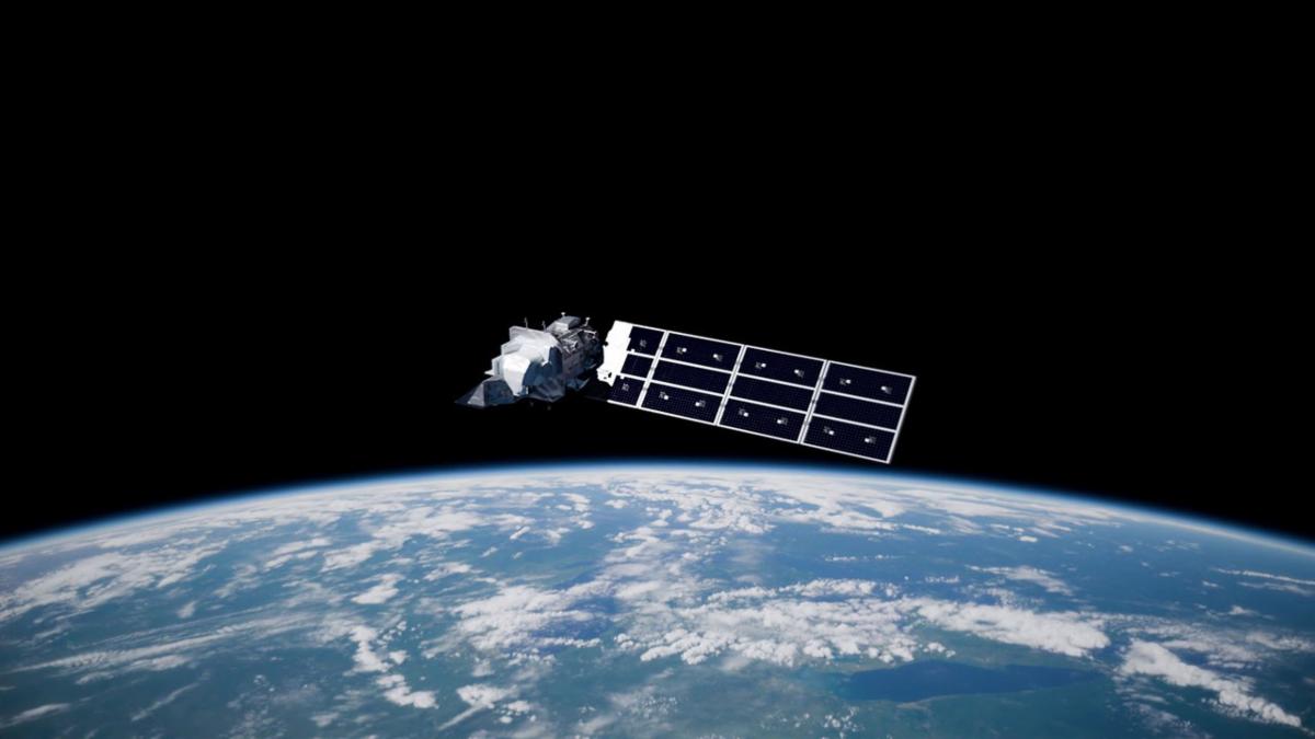
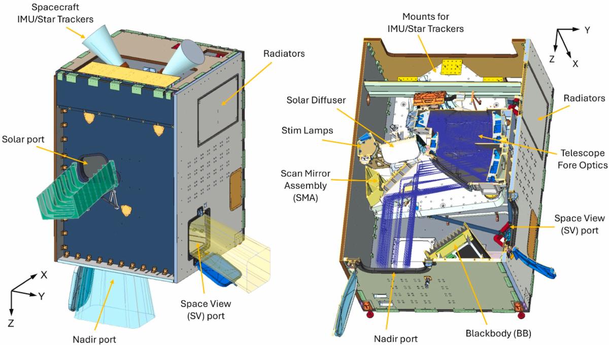
From estimating crop yields and detecting drought to mapping wildfires and tracking urban heat islands, critical decisions about Earth's resources depend on consistent satellite measurements. The next generation of Landsat instruments is being designed by Raytheon to make those measurements more precise and useful. In Remote Sensing of Environment, Montanaro et al., 2026, describe the Landsat instrument Suite (LandIS), the imaging sensor planned for the Landsat 10 mission. The new suite of instruments will collect Earth observations in 26 spectral bands that span visible, near-infrared, shortwave-infrared, and thermal-infrared wavelengths and resolutions of 10, 20, or 60 meters, depending on the band. Of the 26 channels, ten are new relative to earlier Landsat instruments; several of these are intended to complement the Sentinel-2 satellite constellation, while the heritage Landsat bands are retained with improved spectral and instrument specifications. The 26-band, super-spectral capability of LandIS is designed to support critical applications that range from vegetation and water monitoring to studies of soil, atmospheric conditions, surface temperature, and ecosystem change. By extending Landsat's dependable, 50+ year record, LandIS will help decision makers distinguish short-term events from long-term environmental trends and respond more effectively to those changes. Ultimately, LandIS will provide precise data for decision making on the ground that benefits humans, communities, ecosystems, farms, and water supplies.
|