|
Four Projects identified for the Floodprint
The Salt Marsh Collective, a partnership between NC Coastal Federation, Lighthouse Environment Partners, and the North River/Laurel Road Ladies Outreach Committee, just finalized the Floodprint, a flood resilience plan developed by the NC State Coastal Dynamic Design Lab to help rural communities prepare for and recover from floods.
Project 1: Flood Analysis Model for Carteret County
In order to properly prepare for floods, the CDDL team wanted to understand current flooding and future flood projections for these communities. Dr. Barbara Doll and Dr. Jack Kurki-Fox of NCSU visited North River and developed a flood model based on tide and rainfall data, reports from residents, and future sea level rise projections.
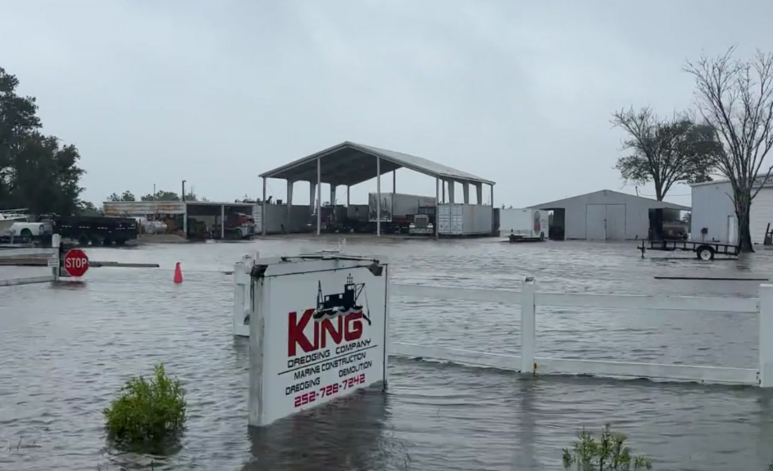
Dr. Doll and Dr. Kurki-Fox anticipate increased flooding during unnamed rainfall events, increased days of sunny day flooding, and high road inundation during rainfall events along Merrimon Road, both north and south of the 70 bridge to Down East. The NCSU researchers anticipate the sea level to rise an additional 8 to 16 inches based on the possible emissions trajectories over the next 25 years, on top of the ~5-7 inches that the sea has already risen in this area.
This report encompassed all of Carteret County, and can be found here.
|