Twitter  Youtube  Linkedin  
Subscribe

NASA Harvest News

From Orbit to Table: How NASA Satellites Are Revolutionizing Global Agriculture

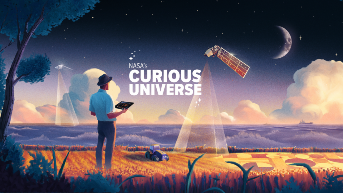
In this “From Space to Your Plate” episode of NASA’s Curious Universe podcast, discover how satellite technology helps feed the world. NASA’s Brad Doorn explains how Landsat satellites have provided detailed imagery of Earth’s surface for over 50 years, enabling farmers and scientists to monitor crop health, manage water use, and respond to climate challenges. This space-based perspective plays a vital role in supporting global food security by giving decision-makers the tools they need to sustainably manage agricultural resources.


Listen now: From Space to Your Plate

Presto: A Smarter Way to Use Satellite Data to Help Farmers

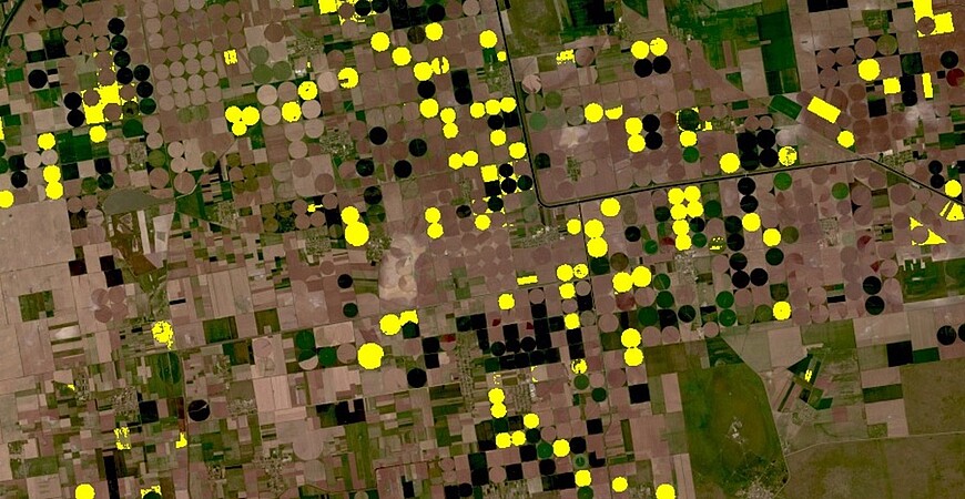
NASA Harvest’s Gabi Tseng recently presented Presto, a cutting-edge AI tool, at ESA’s WorldCereal webinar. Presto uses satellite data and self-supervised learning to create accurate crop maps—even in data-scarce regions—empowering farmers, researchers, and policymakers worldwide.

From Orbit to Farmland: How Space Technology—and NASA Harvest—Are Reshaping Global Agriculture

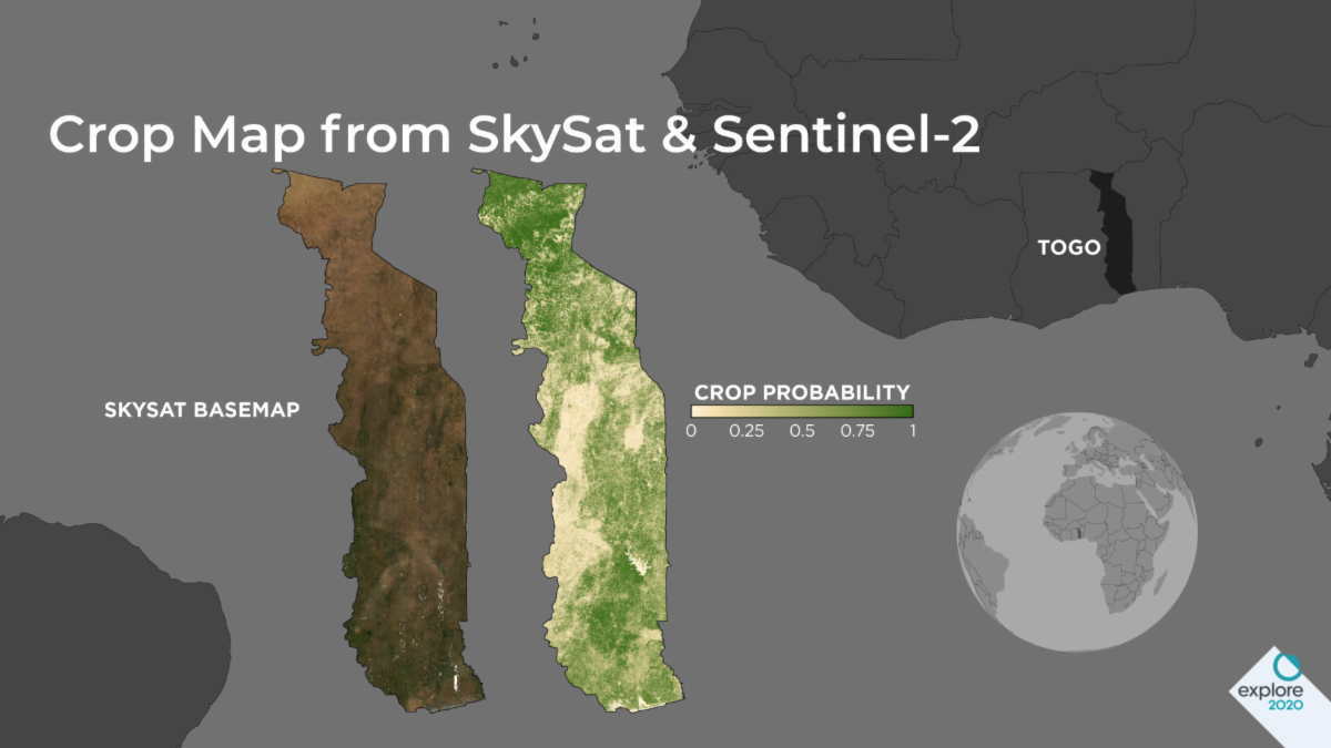
A new UN report spotlights how space tech is transforming agriculture—and NASA Harvest is leading the way. Highlighted for its innovative work in Togo, NASA Harvest demonstrates how satellite data and global collaboration can drive global food security and climate resilience.

Michael Humber Receives UMD Provost’s Excellence Award for Professional Track Faculty

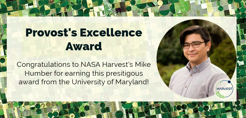
Dr. Michael Humber has received UMD’s Provost’s Excellence Award for his leadership in remote sensing research. Through key roles with NASA Harvest and NASA Acres, he advances agricultural and wildfire monitoring, delivering innovative, data-driven tools for international resilience and response.

Agmatix + NASA Harvest: Leveraging Remote Sensing to Scale Regenerative Agriculture

Developed in close collaboration with NASA Harvest, Agmatix's RegenIQ framework uses satellite imagery and AI to improve data collection, validate management practices, and guide decision-making across diverse growing regions.

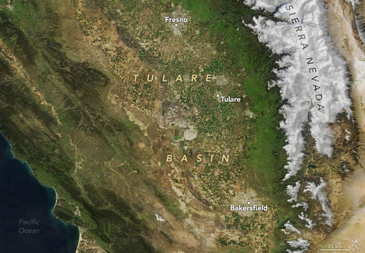
NASA Uses Advanced Radar to Track Groundwater in California

NASA is using advanced radar technology to track how Sierra Nevada snowmelt replenishes groundwater in California’s San Joaquin Valley. Mounted on a NASA jet, the radar detects subtle ground movement to reveal underground water flow—helping scientists, farmers, and policymakers better manage water in one of the country’s most important farming regions.

Professional Opportunities

Call for Submissions:

ERL Focus Issue on Climate-Resilient Agriculture

Environmental Research Letters (ERL) is inviting contributions to its upcoming Focus Issue on Predictive Decision Support for Climate-Resilient Agricultural Production. This special collection will highlight research that takes cutting-edge climate predictions and turns them into practical tools for farmers. The goal is to help agriculture adapt to the growing challenges of climate change and ensure food systems remain sustainable.


Researchers are encouraged to submit studies that link advanced climate science with everyday farming practices, focusing on resilience and sustainability. Submissions can include research letters, perspectives, and topical reviews.


The submission deadline is flexible, with final contributions due by September 30, 2025. Accepted articles will be published as soon as they complete the peer-review process, allowing for quicker access to the latest findings.


For more information, visit the Focus Issue landing page.

NASA Food for Thought:

A New Training Set Selection Challenge

NASA Harvest, in partnership with NASA’s Office of the Chief Science Data Officer, MLCommons, and Arizona State University, is launching an exciting new benchmark challenge—hosted on Dynabench—focused on smart training data selection for geospatial ML.


The challenge asks a bold question: Can smaller, smarter training sets outperform larger, unfocused ones for localized predictions? Using the CropHarvest satellite dataset, participants must select data subsets that maximize crop classification accuracy in four regions—China, Togo, Tigray, and Senegal.

Why it matters? Your solution could shape NASA Harvest’s real-world monitoring systems, boosting global food security and disaster readiness.


🗓 Runs April 14 – August 3, 2025

🔍 Focus: Data-centric strategies over model tuning

📍 Evaluate transferability with hidden regions


Dive in: Join the challenge on Dynabench

Explore more: CropHarvest Dataset

Upcoming Events

NOAA's Satellite Applications Symposium Series: Land and Agriculture

May 20, 2025

Learn about NOAA’s next generation satellite capabilities to monitor our nation’s abundant natural ecosystems. Topics will include land cover/land use change, agricultural and forestry monitoring, fire detection, spread, and emissions, flooding, inundation and drought, crop condition, phenology and yield, as well as lightning, atmospheric sounding and composition, for agriculture, forestry and other terrestrial ecosystems.


You must be a US citizen to attend in person, to register visit NOAA's website.

NASA ARSET: Fundamentals of Remote Sensing

Asynchronous

NASA ARSET is re-releasing their free Fundamentals of Remote Sensing course.


In this self-paced course, you’ll learn the underlying science behind how remote sensing works and the basic functional characteristics of satellites and sensors. You will explore the kinds of satellite remote sensing data that are available, advantages and disadvantages of remote sensing, and some basic tools to visualize data. By the end of the course, you’ll be equipped to begin your journey using NASA’s no-cost, open-access remote sensing data and resources.

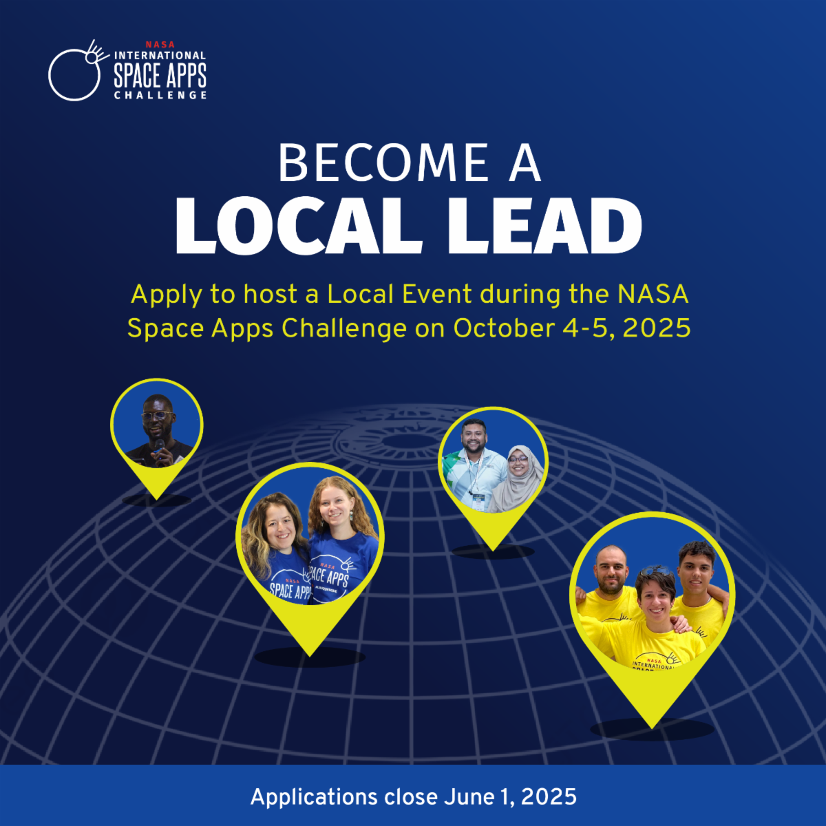
2025 NASA International Space Apps Challenge

Asynchronous

The 2025 NASA International Space Apps Challenge is looking for Local Leads to organize events for their city or town!


Local Leads are leaders of their local space and science communities who volunteer to organize in-person or virtual NASA Space Apps Challenge events in their cities or towns. They increase awareness and engagement of NASA Space Apps and are pivotal to the success of our hackathon!


Check out the 2025 Local Lead Recruitment Info Guide for more details!

Visit Our Website