toplogo_2077760712.png

The Ohio to Erie Trail Connection

Newsletter: August 2026

From the Director's Saddle

Hello Friends of the Trail! Summer is blazing along, bringing peak riding conditions and a flurry of activity, maintenance needs, and trail updates across our 326-mile corridor.


Handling alerts during this busy season is a top priority. We publish everything we know on our site, including official, verified detours. However, because we are ultimately limited to what local communities share, sending us your ride reports or helping verify safer routes via email is always deeply appreciated!


On a personal note, I recently returned from a fantastic cycling trip along the George S. Mickelson Trail in the Black Hills of South Dakota. Experiences like that remind me of the joy of multi-day touring—and why checking our maps and alerts page regularly is so essential. Stay safe out there, and say hello if you spot me on the trail!!


-Alan Weinstein, Executive Director

Enjoy the Ride? Support the Trail!


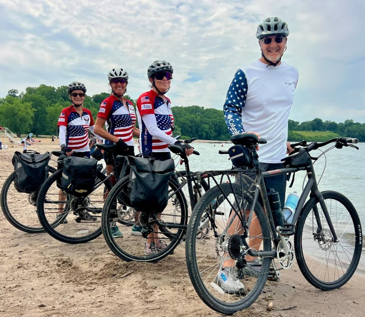
Riding the trail end to end this summer? Don't forget to tag us @ohiotoerietrail and use our hashtag #Ohio2ErieFinisher on social media.


Additionally, our 326 Club registration link is now active! We encourage end-to-end riders to use the form to provide details, share photos, and get a chance at winning an exclusive OTET biking jersey.

2026 OTET Photo Contest

Capture the Spirit of the Trail! Submit your favorite shots through October in our two new categories:

  • Trail Town Spotlight
  • Best of the OTET


Winners receive an exclusive OTET merchandise package!

Trail Town Spotlight: Newport & Covington, KY

Southern Gateway


Just a short hop across the river from our southern tire dip point at Smale Park, the vibrant cities of Newport and Covington, KY make for a fantastic getaway to start or end your journey:

  • Accommodations & Dining: Abundant hotel options and great local restaurants.
  • Local Bike Shop: Friendly partnership with Reser Bicycle Outfitters in Newport for your gear and service needs.
  • Scenic Crossings: An easy, beautiful ride over the historic Roebling Suspension Bridge with stunning views of downtown Cincinnati.
  • Seamless Transit: Reliable shuttle services via ZipiTransit.com to get you and your gear transported along the trail.
 

From the President: Tom on the Trails

E-bikes are a timely topic in Ohio and across the country. Over the past month, Trail President Tom Bilcze explored the topic in a series of articles on his Tom on the Trails Substack. His latest article highlights key findings from an accompanying e-bike survey and links to the full report, where readers can explore community perspectives, concerns, and opportunities in greater detail at tomonthetrails.com.


Supporting Our Trail Partners


The Trail Towns of Central Ohio program—spearheaded regionally through partnerships with the Mid-Ohio Regional Planning Commission (MORPC) and Central Ohio Greenways—is rolling forward with its inaugural cohort of five communities: Centerburg, London, Mount Vernon, Westerville, and Worthington.


To help propel these efforts, the Ohio to Erie Trail proudly made a grant this year in support of the program, as the trail serves as a primary spine through the heart of this region—utilizing local pathways like the Westerville Bikeway, Alum Creek Trail, and Camp Chase Trail. 


This initiative represents a vital blueprint for expanding our statewide Trail Town network. By aligning local economic development and community storytelling with our 326-mile corridor, we are building a stronger, more connected framework to support all OTET trail towns for years to come.

⚠️ August Trail Alerts ⚠️


  • Bank Street Closure (Northern Segment) - Bank Street in Apple Creek (Wayne County) will be closed to through traffic between US 250 and Apple Creek Road for 120 days for a bridge replacement project.
  • Westerville - OTET bikeway (Central Segment) — CLOSED: Detour onto Alum Creek Trail is clearly signed from Schrock Road to Polaris Parkway.
  • Little Miami Scenic Trail (Southern Segment) — CLOSED: The trail is closed in South Lebanon for a major sewer infrastructure project. This closure affects the LMST from Stubbs Mill Road south to the Lebanon Spur.
  • Hunt House Closure (Northern Segment) — CLOSED: Hunt House Trailhead to Beaver Marsh closed August 17 - Sept 18. Weekdays only, open on weekends.
  • Boston Trailhead to Lock 29 in Peninsula: (Northern Segment) — CLOSED: The Towpath Trail between Boston and Peninsula will be closed August 24 – November 20 to replace the Stumpy Basin boardwalk..
  • Lunken Airport Trail (Southern Segment) - The Lunken Trail and trailhead parking lot is getting paved. During construction riders should expect temporary trail closures and reroutes along portions of the trail. Clearly marked detours will be in place while work is underway.

Trail Critters

While you're out on the trail, here are some of the Ohio wildlife that you might encounter:

  • Deer and fox
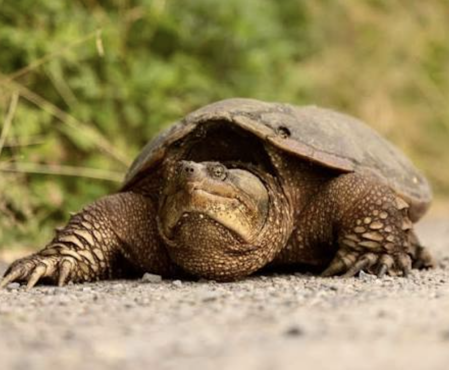
  • Snapping turtles - as their name indicates, they do bite!
  • Great blue herons, redtail hawks, geese
  • Rabbits, squirrels, chipmunks, groundhogs


In the spring and early summer you're more likely to see all of the babies. During the fall, many animals are foraging before winter and the deer can be experiencing rut. While trail critters often are furry and cute, we recommend keeping an eye out for theses guys to avoid collisions and just generally maintaining your distance as much as possible.


Gear and Safety Tips

Share the trail: Summer crowds mean extra awareness. Always give a friendly, loud audible signal ("On your left!") well before passing, and control your speed in busy town hubs.


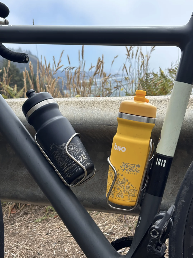
Hydrate and refuel: Add an extra water bottle and snacks during the peak summer heat and humidity. And don't wait until you're thirsty to start hydrating—drink early and often on your ride.


OTET Jerseys: Keep cool with our lightweight and breathable OTET jerseys. Visit Trail Shop


SUPPORT THE OHIO TO ERIE TRAIL

As a nonprofit organization, we rely entirely on your generosity to add signs and navigation, keep the path maintained and repaired, and our interactive maps updated. Every dollar directly supports ongoing infrastructure projects and trail community initiatives, ensuring a safe, scenic, and well-maintained trail for everyone. Please consider making a contribution today to help support our ongoing mission across these 326 miles.


Home

Maps + Alerts

Shop

Support