March Gila Trails Update


In this Newsletter:

- Current Conditions

- Day Adventures

- Backcountry Adventures

- Spring Trail Project Schedule


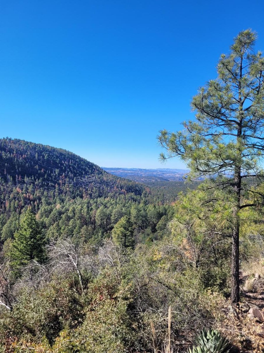
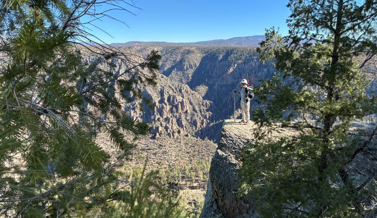
Photo near Granny Mountain in the Gila Wilderness

Current Conditions

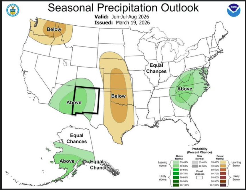
Potential Rain this Summer?

Monsoon prediction updated from Meteorologist Grant Tosterud


"Well the new precipitation outlook released today by the NOAA NWS Climate Prediction Center is favoring above average rainfall across the state this monsoon season!

(Posted 3/19/26)"


Postive news! Hopefully, we can make it to monsoon without a major fire.


Silver City Museum

Community Conversations Series

Managing A National Forest With Camile Howes

Wednesday April 1st

12 pm - 1 pm at the Hearth


In-person and Online options


Gila National Forest Supervisor Camille Howes will present on the complexities and challenges of managing one of the nation’s premier natural assets. Her presentation will touch on the history of the U.S. Forest Service and engage the audience in learning about the challenges currently facing the preservation and stewardship of the Gila National Forest.


April

Night Sky Program at

Gila Cliff Dwellings National Monument


Stars Over the Gila programs continue into April with new times:


April 2nd – April 26th

Every Thursday–Sunday

8:30–9:30 PM

Gila Cliff Dwellings Visitor Center Parking Lot


Please note: The 8:30 PM start time applies to all Stars Over the Gila programs from April 2nd–26th.


Join for an evening under some of the darkest skies in the country. From constellations to distant galaxies, there’s always something incredible waiting overhead.


Bring a jacket, a chair, and your sense of wonder, they’ll take care of the rest.

See you under the stars!


Learn more about the Gila night skies:

Night Skies - Gila Cliff Dwellings National Monument (U.S. National Park Service)

Photo Credit: Stephen Hummel / McDonald Observatory

Image: A person is seen interacting with equipment while using a red light under the night sky.


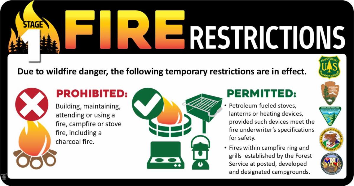
Fire Restrictions Stage 1

Started March 23rd

Why: "The decision was made based on several factors including; long term severe drought in the Gila region, increased tree mortality across the forest due to drought and insects and forecasted weather patterns which indicate higher temperatures and drier conditions for March through June."


Stage 1 Restrictions: "limit public campfires to designated campgrounds with adequate fire rings to limit potential for human caused wildfires."


Future Restrictions:  "Several large fires in the Gila National Forest have been caused by humans including the Black Fire of 2022 which burned over 300,000 acres. There is a high likelihood the forest will be moving into Stage 2, which limits industrial use and all campfires, at some point in April if fuels and weather conditions continue to worsen. Grant County and Sierra County are planning to follow suit and institute burn bans the week of March 23 as well and Catron County is already in a burn ban. All commissioners have been notified and are in support."


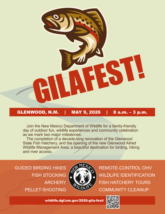
Gilafest - New Mexico Department of Wildlife 


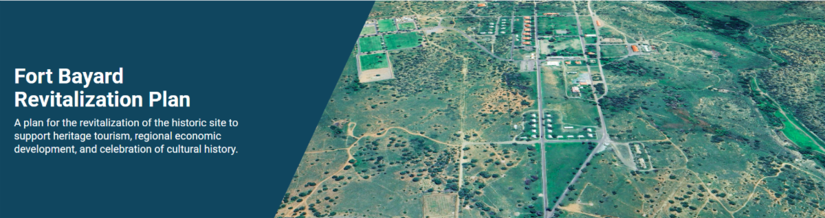
Fort Bayard Community Input on April 1st

Time: 5:30 pm - 7:30 pm April 1st

Location: Silver City Grant County

Chamber of Commerce & Conference Center

Archery Room


"Join us to review the proposed design for Fort Bayard and see how community input from

previous meetings has shaped the plan. This is your opportunity to provide final feedback

before the Revitalization Plan is completed. Your voice has guided this process from the

beginning, and this meeting is an important final step in shaping Fort Bayard’s future together."

Adventure at your own risk.

Trail conditions change.


Recreate Responsibly


Day Adventures

Sycamore Canyon Trail #234

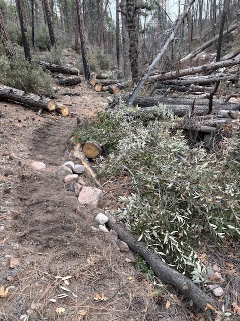
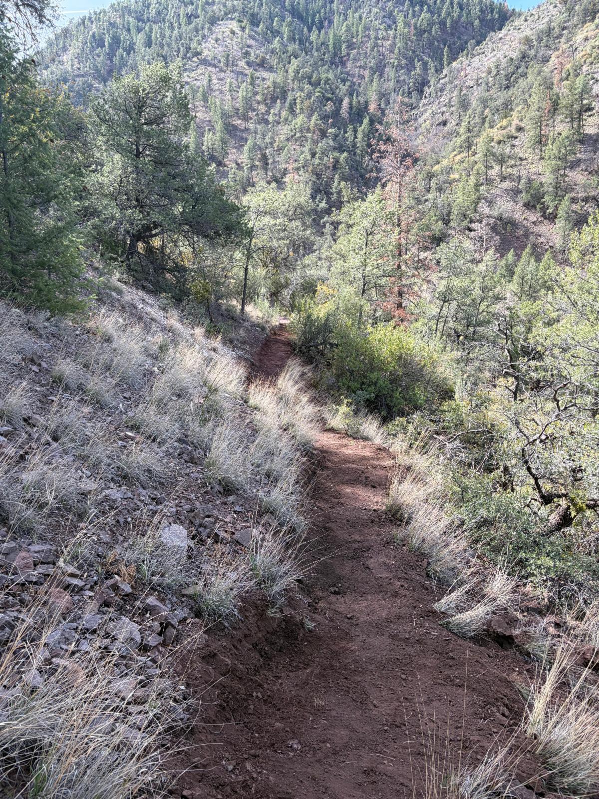
The Sycamore Canyon Trail #234 (also part of the CDT alternate) has received much needed work in the past few months - both by Gila BCH and individual volunteers.


To access this trail, park at the Sheep Corral Trailhead 6.5 miles in on the Sheep Corral Road. Take the Tadpole Ridge Trail through mixed conifer up to the ridge. And then take the Sycamore Canyon Trail down into Sycamore Canyon. Return the way you came. Note that the Sycamore Canyon Trail part is mostly in the sun.


Red Canyon Trail #198

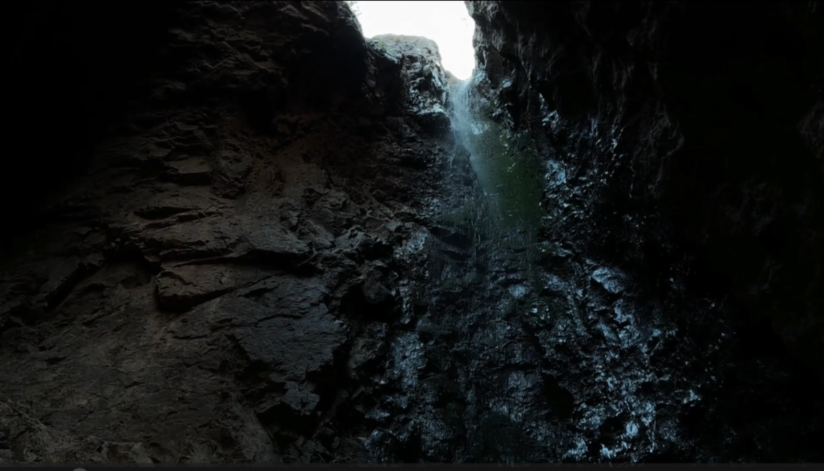
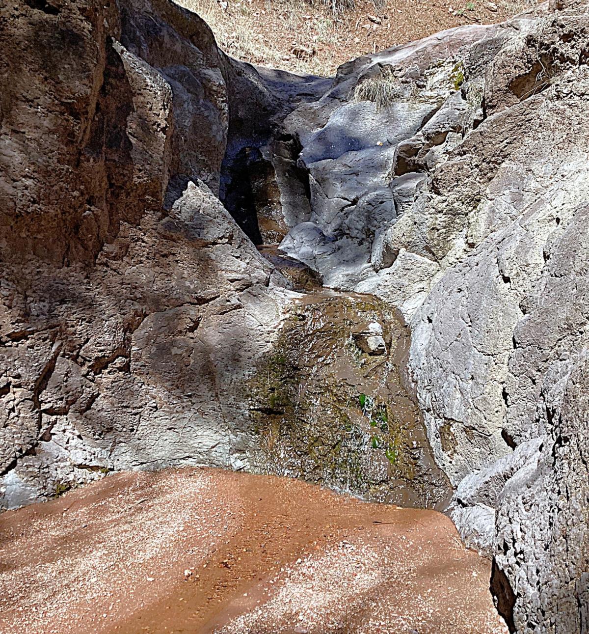
This trail starts as a nice place to car camp, especially when the creek next to the trailhead is running (which it was around March 20th). The trail climbs up to the ridge and then drops down into Red Canyon. This is a typical West Side of the Gila trail, meaning it is quite steep in places. Once in Red Canyon, the trail descends along the creek, passing multiple waterfalls (which were also still running March 20t). At times, the trail is in the creek itself.


Just before its junction with the Mineral Creek Trail # 201, the trail cuts out of the creek to avoid a tall waterfall offering great views of the rock formations in Mineral Creek. Then it switchbacks down into Mineral Creek. To view the tall waterfall, take a sharp right when you get to the bottom and travel up the Red Canyon drainage until you get to the tall and overhung waterfall.


Directions: As with many rural roads, google maps and the actual road signs do not match.


From Silver City: It takes about 2 hours. Take Highway 180 west 67.4 miles. You will pass by Alma and go roughly another 2.85 miles to the right turn onto Deep Creek Ranch Road or Claremont Road. Stay on this road for 4.1 miles. Then take a left to stay on this same road. Continue for 0.9 miles. Then turn right on Claremont Road (actual road sign) or Copper Creek Road (Google Maps label) and drive for 6.6 miles to the trailhead. Just after the trailhead is a big yellow sign with "warning" at the top.


Disclaimer

Do not access this trail if it has rained - the road is clay and gets dangerous on the steep switchbacks. Also avoid this trail during times of a potential flash flood.


Read more: check out Desert Lavender's write up for this trail and see some great photos.


Backcountry Adventures

Backpacking and Water

Carrying water for a dry camp can be quite challenging. The Gila region is currently experiencing a multi-year drought, minimal snowfall, and above-average temperatures. Because of this situation, you'll soon have to either travel along the rivers or prepare to carry water for a dry camp.

If you plan to backpack in the Gila, now is the time to do it before other water sources run dry. There is 0 snow at the Silver Creek Divide Snotel Station. March was the ideal month for this, but that opportunity has passed.


If the current trend continues over the next two weeks, there may be very little water available and the fire danger will be high, with a landscape of stressed and dead trees.


Rawmeat Canyon

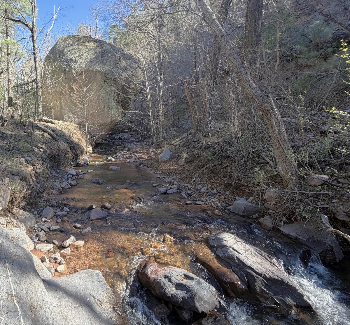
Rawmeat Canyon, which was thought of as a reliable water source dried up last summer/fall. It made travel to Mckenna Park much more challenging.


It is back to flowing but we don't know for how long.


Currently other water sources along the way to Rawmeat Canyon include the West Fork and Little Springs. Using all these water sources can make for a nice loop.


And if you want to make the adventure longer, one can take trail #302 by Langstroth and the upper part of White Creek which are currently still running.


Photo of water in Rawmeat Canyon


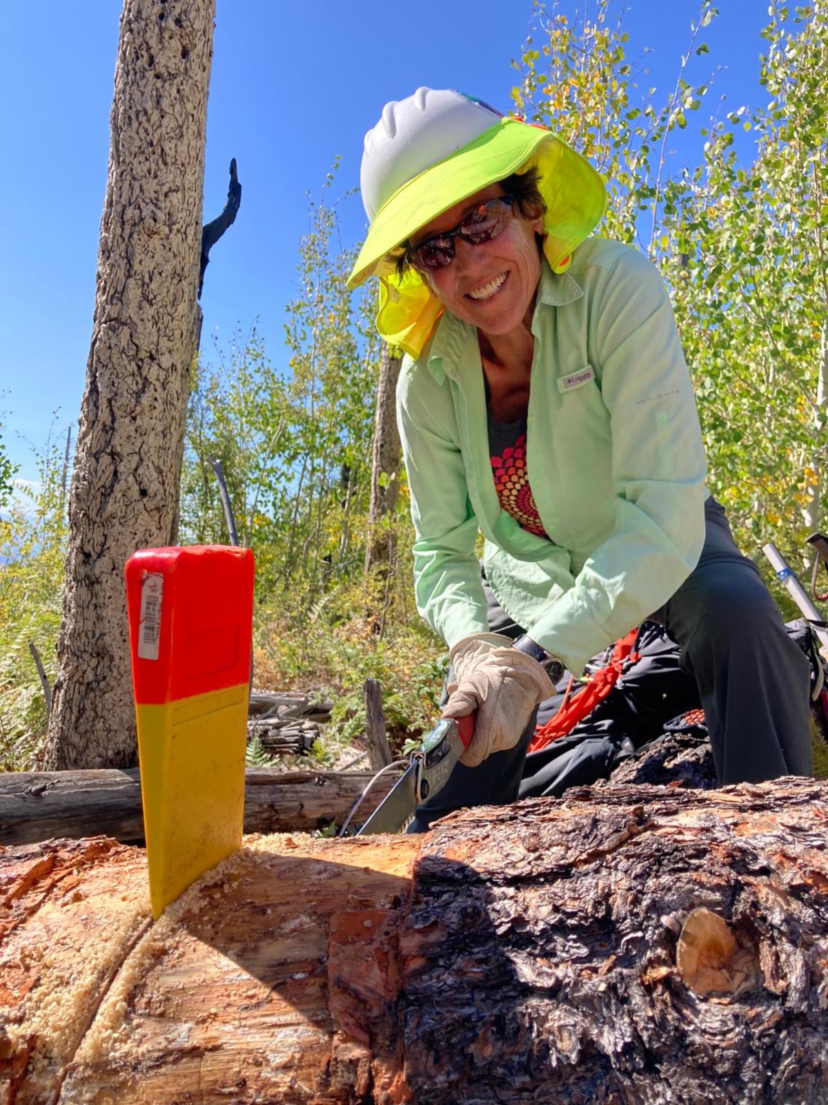
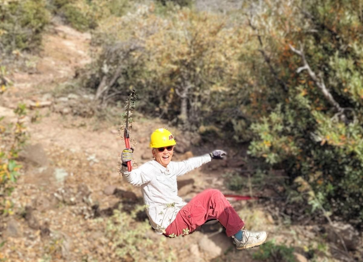
Join Us on a Trail Project in 2026

Spring Trail Project Schedule

Check out the rest of the spring Trail Project Schedule


East Railroad Trail #130

Clear Creek Trail #165

West Fork Corral Trail #814


And more…


Enjoy Gila Trails!

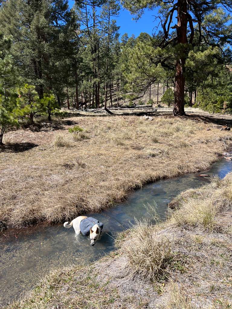
Photo from the Meadows Overlook.


How did you like this email?
Positive        Neutral        Negative

Sign up for our Monthly Gila Trails Newsletter