The Merry Month of May, indeed! We are enjoying warm weather and sunshine here on Cape Cod, so much so that it feels quite a lot like summer has already arrived!
As we gear up for the busy season, we are thrilled to have so many special maps currently available! In particular, our collections of Early Maps and Boston Maps have notable new additions, some of which we have featured previously, others which are featured below, and also some that we don't have space to feature, but are noteworthy as well!
We are now operating on our Summer Hours:
10am-5pm Monday through Saturday
12-5pm on Sundays
We still have limited availability at the Chatham Guest Rooms for the summer, so if you are looking for a beach escape, book soon!
|
|
Below, we shall highlight some exciting new maps, but you can always visit our Newly Listed Maps section to see everything from the past month or so. We have a Great Maps - Super Deals category that offers our discounted items. And don't forget that we also have a category specifically for maps under $100!
If you are looking for something specific, we recommend using the search function or the "Filter By" function on the left side above the listings to search within a category.
|
|
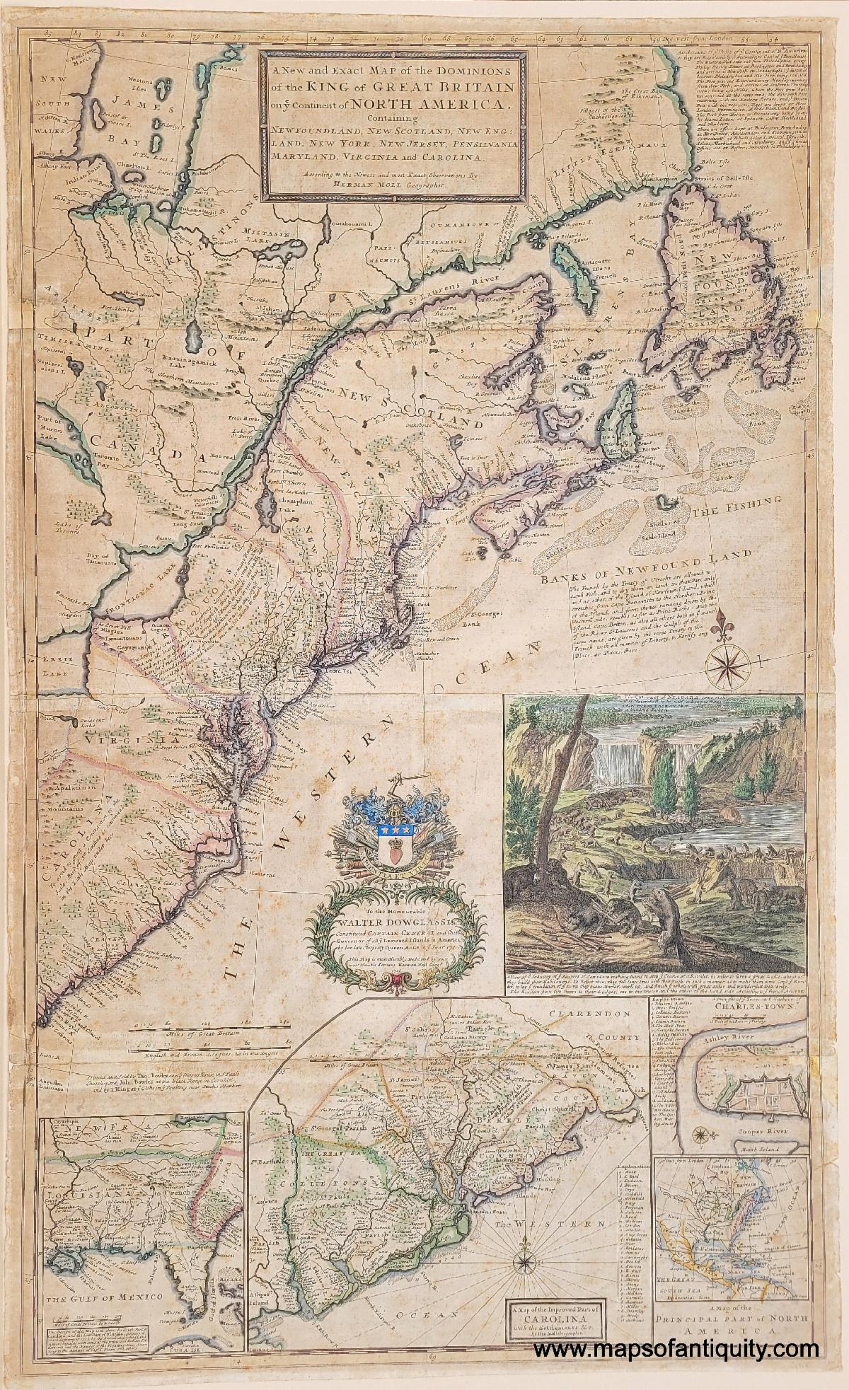
A map that needs no introduction among map dealers and collectors, this is the 1733 edition of Herman Moll's "New and Exact Map of the Dominions of the King of Great Britain on ye Continent of North America..." An incredible piece of history to have in your collection, this map shows colonies, including East and West New Jersey, and the earliest postal routes on the continent. The inset illustration depicts beavers working hard, walking on their hind legs and carrying sticks over their shoulders. This map features beautiful hand coloring and the paper looks its age in the most becoming way. |
|
1733 - Moll's "Beaver Map" - A New and Exact Map of the Dominions of the King of Great Britain on ye Continent of North America… - Antique Map |
|
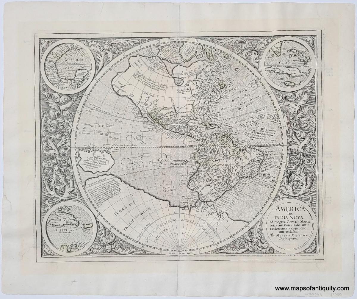
This fantastic map of the Americas was created by Michael Mercator in 1595 and published at various times. Michael Mercator was the grandson of Gerald Mercator, the well-known cartography. This is the only known map that Michael Mercator ever produced. This map was produced before there was a method to determine longitude, which affects the shapes of the continents, especially South America. There is also a large inland lake in Canada, two islands at the North Pole, and a large southern continent. Some vestiges of old color remain around Peru and Cuba, but the map could be recolored by our professional colorist and it would be even more stunning than it is uncolored. A truly remarkable map for anyone interested in the mapping of the Americas.
|
|
1633 (circa) - America sive India Nova - Antique Map |
|
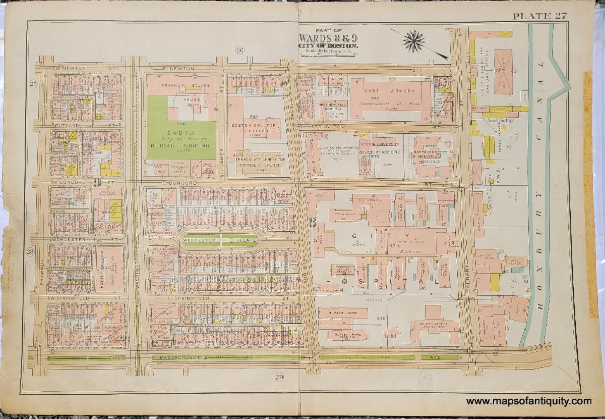
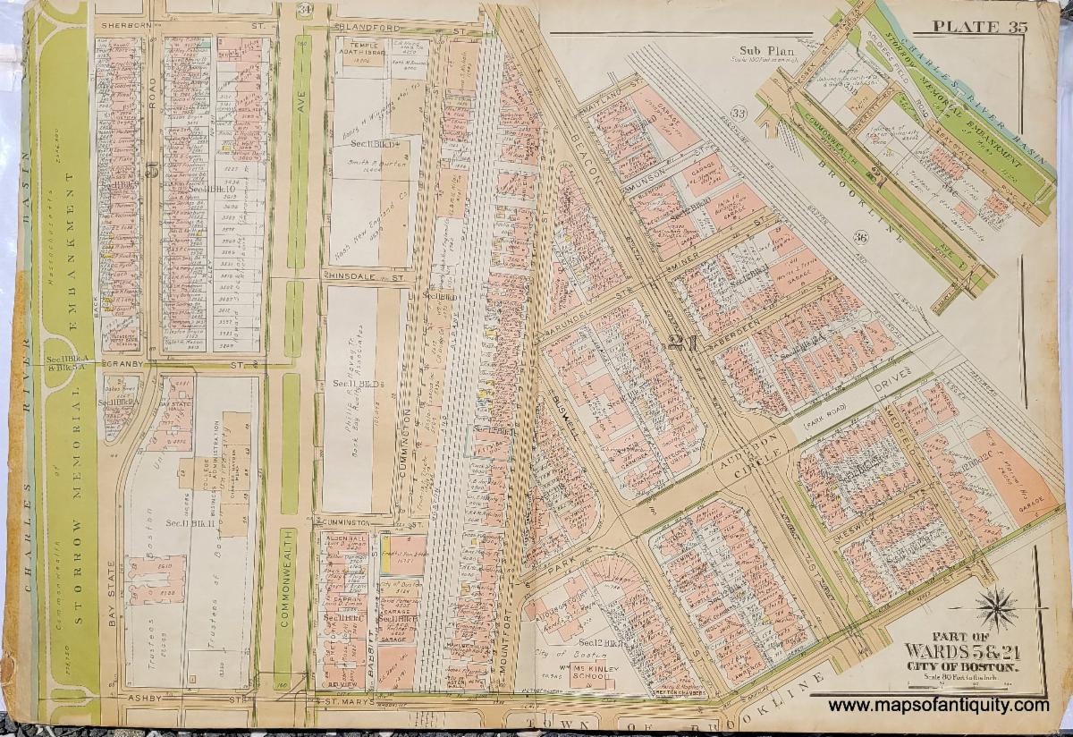
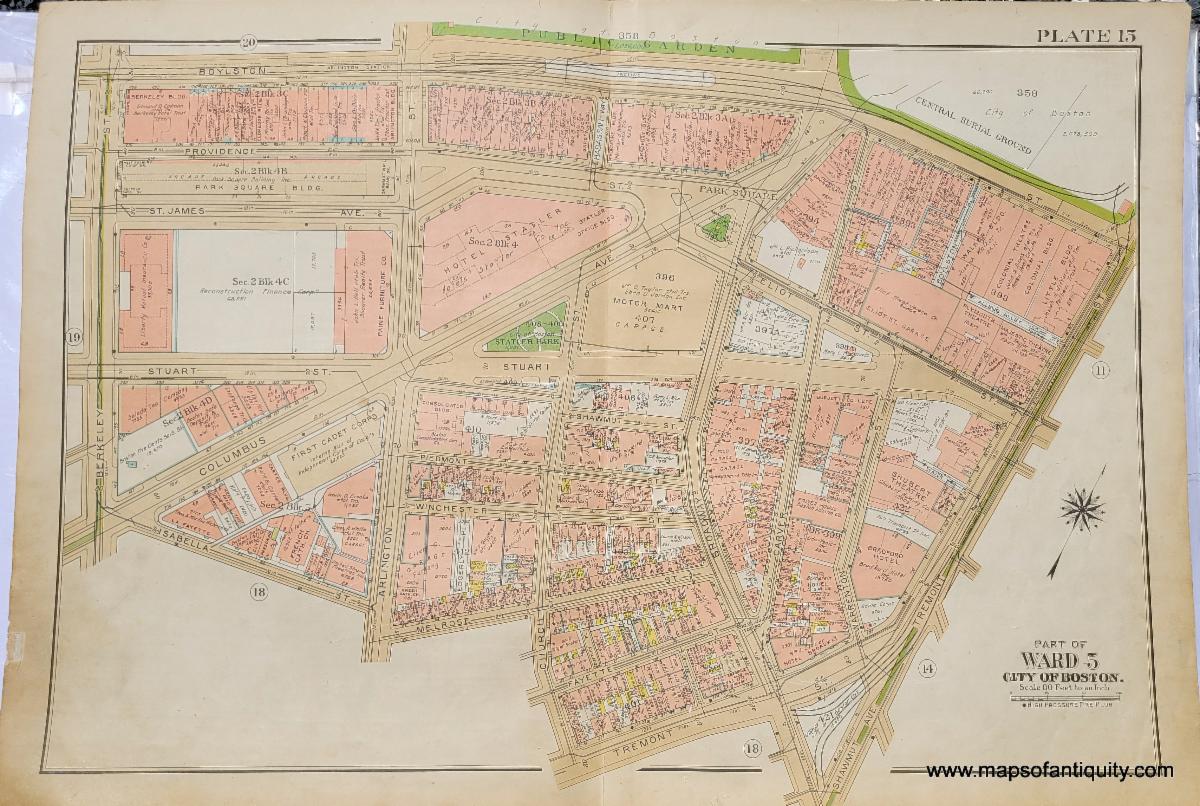
There is nothing quite like looking at an antique map of your town or city and imagining what life may have been like at that time. These maps of Boston show a city moving from horse stables to automobile garages. They feature many elements of the city that we recognize today, as well as many we might not (such as the Roxbury Canal). They include areas of Boston University, Northeastern University, and Emerson College, as well as Copley, South Station, and more. These are just three of the fifteen new ward maps, but we have many others already online! |
|
Interesting Maps of Arabia, Egypt, and the Middle East |
|
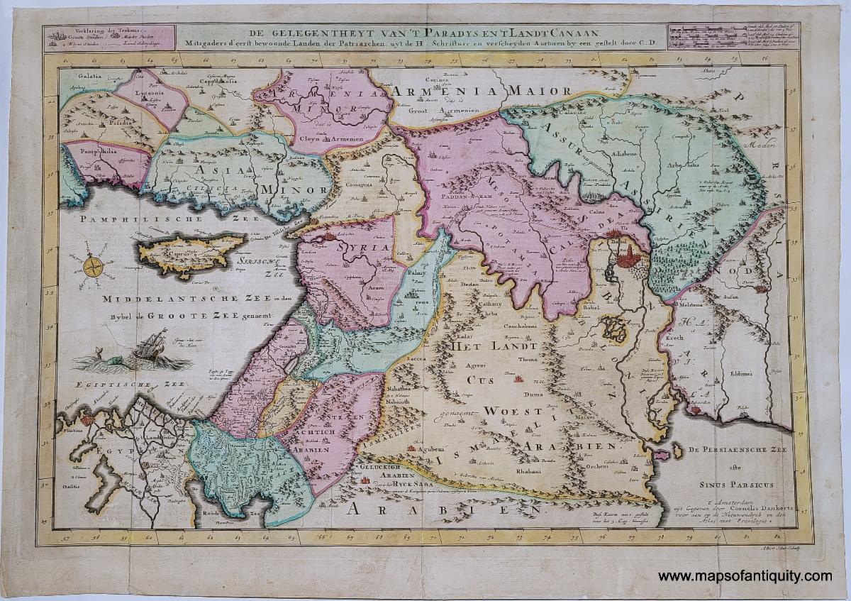
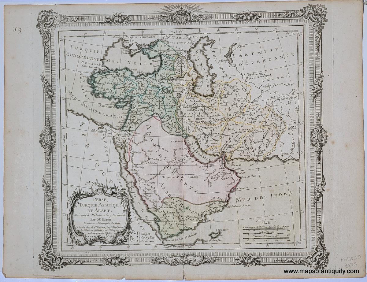
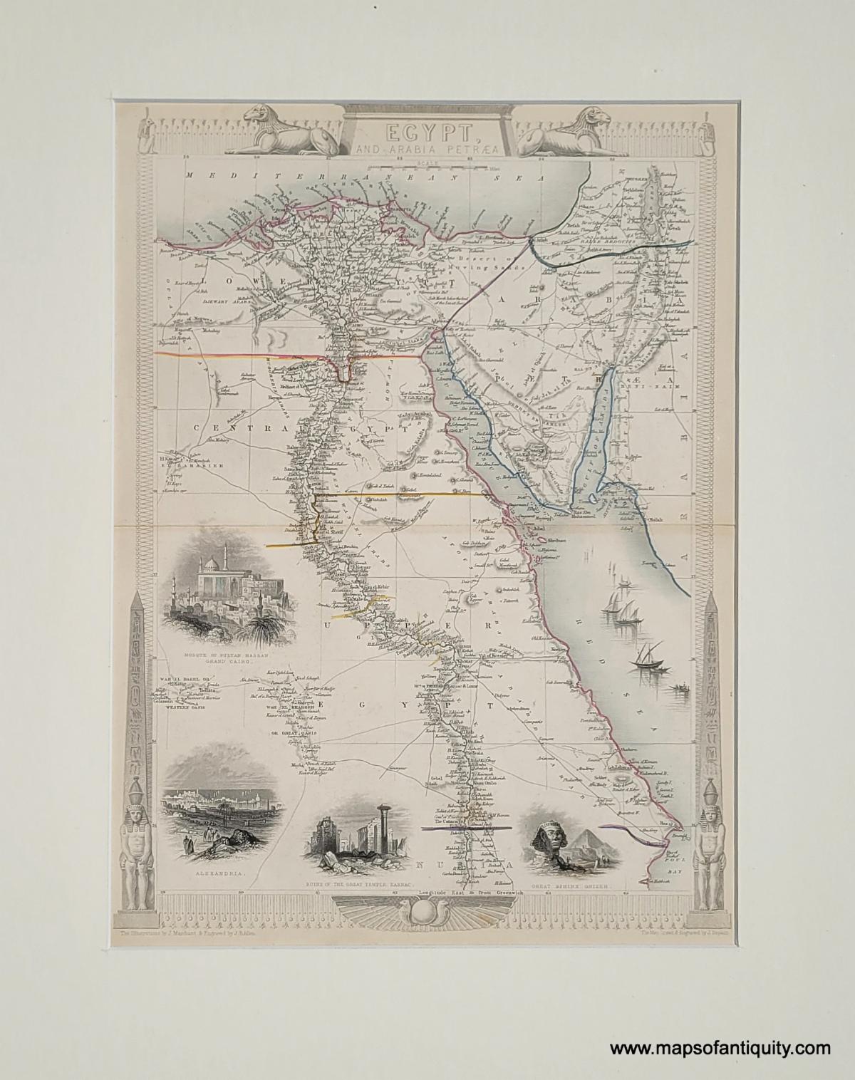
We have some interesting and handsome new additions to our Egypt and Middle East sections. The maps below are just a few of the many wonderful maps we have of those areas! |
|
1720 - Middle East & Holy Land with Armenia Major and Armenia Minor- De Gelegentheyt Van't Paradys En't Landt Canaan. Mitsgaders D'eerst bewoonde Landen der Patriachen uyt de H. Schristure... (Paradise) |
|
1766 - Perse, Turquie Asiatique et Arabie. Suivant les Relations les plus exactes |
|
1651 (circa) - Egypte Moderne dict Chibet Aujour-Dhu |
|
1851 - Egypt and Arabia Petraea |
|
We wish we could highlight every newly-added map, chart, and print and give each one its moment in the spotlight, but unfortunately it just isn't possible. Here are a few more noteworthy items you don't want to miss! |
|
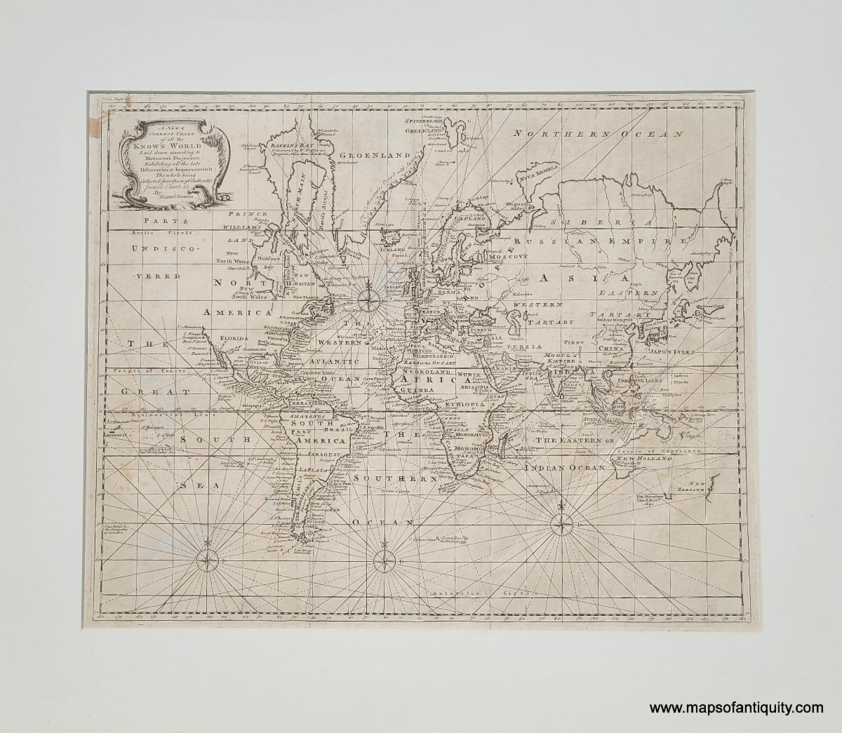
1744 - A New and Correct Chart of all the Known World, Laid down according to Mercator's Projection, Exhibiting all the late Discoveries & Improvements |
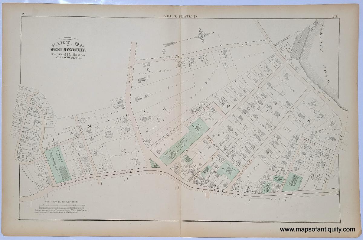
1874 - (Jamaica Plain near the Soldiers Monument) Part of West Roxbury, now Ward 17, Boston |
|
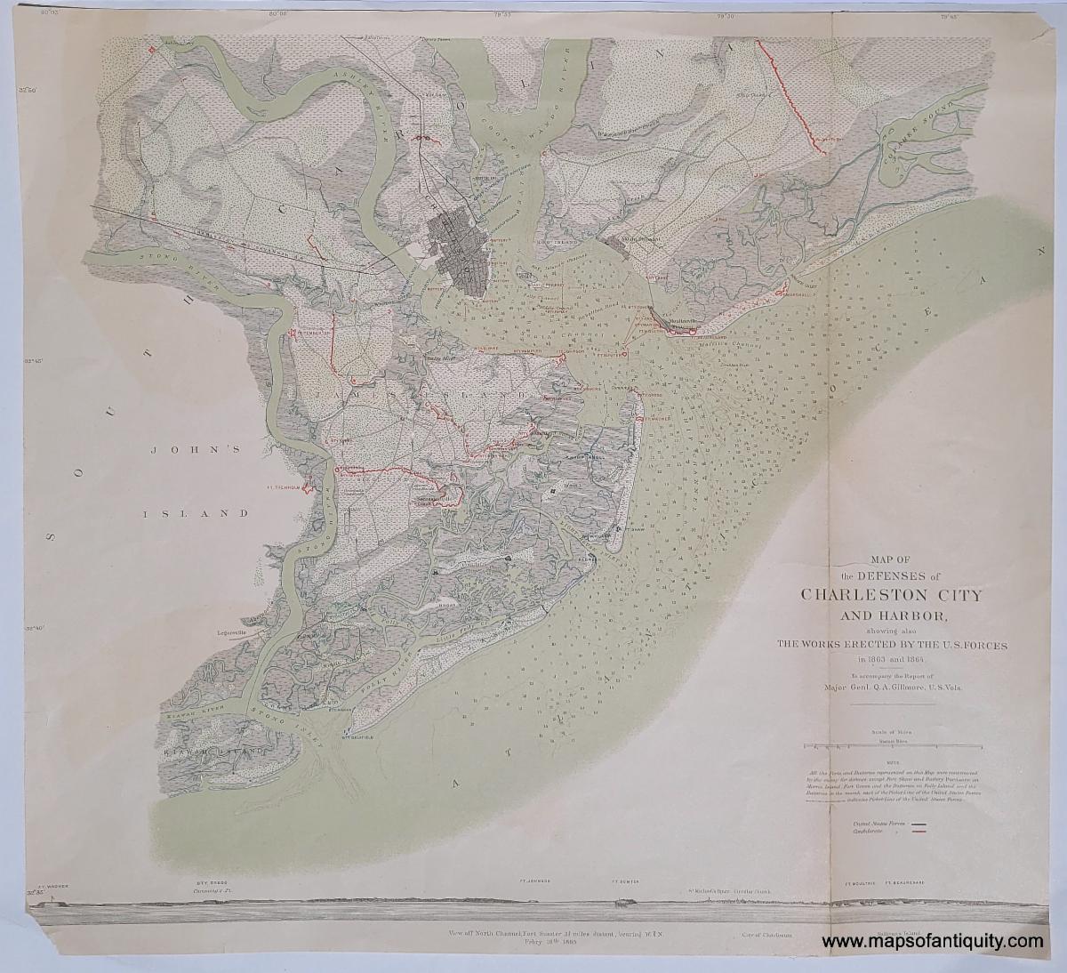
1891 - Fragment of Plate 4. Defenses of Charleston City and Harbor, 1863 and 1864 (South Carolina, SC) |
|
Our shop is currently operating on summer hours!
Monday - Saturday 10am - 5pm.
Sundays 12pm - 5pm.
Or give us a call at: 508-945-1660
If you or your loved-ones need accommodations, send them over to our converted 18th century farmhouse, Chatham Guest Rooms. We have been very well reviewed on TripAdvisor!
Take a Summer trip to Cape Cod and enjoy the beaches, restaurants, walking trails, and nearby bike path! Drive around the Cape visiting antique stores, mom & pop shops, and old timey General Stores. Chatham is a wonderful place to stay to experience all the Cape has to offer!
Planning for summer? Make your bookings early to ensure you get your preferred dates and accommodations! We are getting bookings daily for the summer months.
Book your stay now at Chatham Guest Rooms! The rates are reasonable and you will be staying in the building that is home to Maps of Antiquity! You can pop in to look at maps quite easily during business hours. We rent rooms year 'round!
|
|
Maps of Antiquity | 508-945-1660 | 1409 Main St, Chatham MA | Website
|
|
|
|
|
|
|