Visit our website
 

Drones in Environmental Investigations

Some of our Services:


Environmental Site Assessments

Wetland and Ecological Consultations


Engineering and Consulting Services


Fuel Systems Design, Install, Repair, Removal, Remediation


Risk-Based Corrective, Action, Remediation and Closure


Waste Management


Professional and Technical Training


Learn More

EPA Unmanned Aircraft Systems (UAS)

Quick Link

to available resources

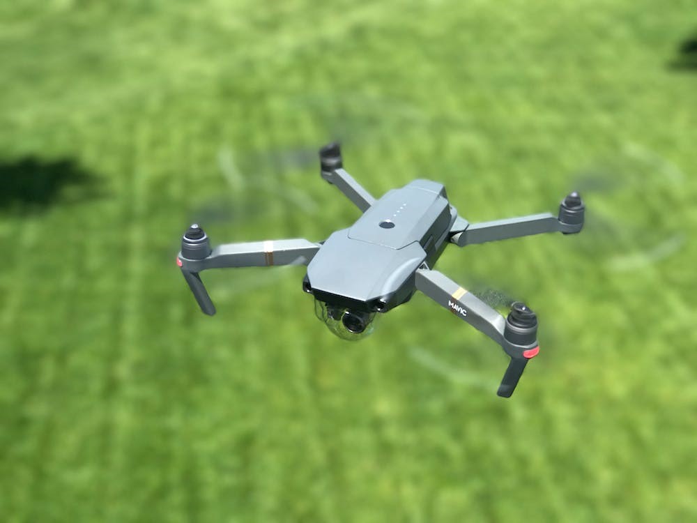
Drones use a number of imaging techniques including infrared sensing, which can be used to measure vegetation growth and photogrammetry, a remote sensing process that creates an “ortho-mosaic” of the area. This technology has been used in real estate functions such as Property Condition Assessments and Phase I Environmental Site Assessments. 

Other environmental applications include detecting water intrusion, animal management and conservation, coastal management, river and flood management, plant conservation, forestry, regulation enforcement, and air monitoring.

SSCI's team applies the use of remote sensing in environmental investigations including linear corridor projects, Phase I ESAs, property condition assessments, and real estate assessments.


The usage of drones by civilians has increased significantly over the past few years. As of 2023, there are 855,860 FAA-registered drones in the United States. The global drone market is worth $43 billion as of 2022 and is expected to reach $43.35 billion by 2025. Drones have been used in military applications for years, but drones have moved to commercial industries and hobbyists in recent years. As aerial drones are developing, they are becoming an effective tool for environmental monitoring and enforcement because of their ability to reach areas that would be otherwise inaccessible or cost-prohibitive.


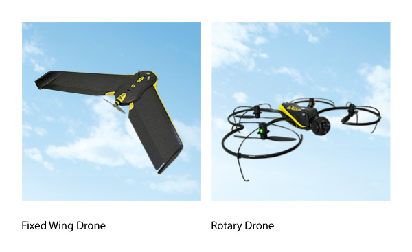
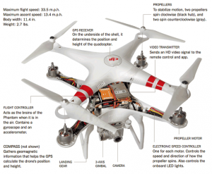
There are two Unmanned Aircraft Systems (UAS) Platform Types of drones: fixed wing and rotary. Fixed wing drones generate lift through wings while rotary drones generate lift by rotating propellers. This allows rotary drones to land and takeoff from the ground while fixed wing drones must be started by throwing them into the air. Fixed wings have longer endurance times, are generally faster, and are more efficient for large areas. Rotary drones are more flexible, can hover, fly lower, and are better for inspections/higher resolution pictures. Both drones can be autonomously flown using apps or by defining a set path. 


Benefits:

Drones can be used to collect ecological data by aerial surveillance without disturbing sensitive environments or species thus limiting human interaction that can often be damaging to the environment. Drones have also been applied to situations to minimize the risk of human injury such as surveying elevated heights or assessing conditions that may result in physical danger. The usage of drones also provides efficiency in surveying. For example, drones are used to survey


pipeline corridors from remote stations saving both time and energy by not using aerial flight to photograph corridors. 


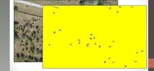
The Texas A&M AgriLife Extension Service Ecosystem Science and Management Unit has demonstrated drone use in range land application. The drones map out the area surveyed and then computer software is used to search for the shape of the cattle and take out the back ground aerial image leaving only the cattle, as seen on the right side with the yellow background. The program then counts the number of cattle to be presented in the rangeland survey.

Safety:

The FAA refers to drones as a UAS and regulations apply for personal and professional use. With drones becoming more common, it’s important to know the rules. Even if you’re just flying a drone for fun, you must register with the FAA, stay at least 5 miles away from airports unless you have prior permission from air traffic control, and always have the drone in a person’s line of sight. Visit the FFA’s website for rules regarding Fly for Fun, Fly for Work.


According to the National Safety Council (NSC) in a 2020 study, the use of drones can mitigate personal risks and serious injury or fatalities in confined spaces or work on elevated surfaces.

 
Contact Us
Facebook  Linkedin  

Corporate Office

17041 El Camino Real, Ste 200

Houston, Texas 77058

(281) 486-1943

(800) 324-7724