|
Flash floods can become dangerous quickly. A new system from UC San Diego, the National Weather Service, and NASA uses satellite data and machine learning to help forecasters identify risks sooner. Read more.
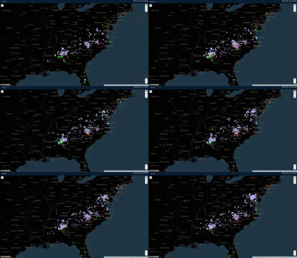
Technology can tell us a lot, but observations from people on the ground remain essential. For example, NOAA combines public reports with radar, satellite, and other data to improve forecasts and deepen our understanding of weather patterns.
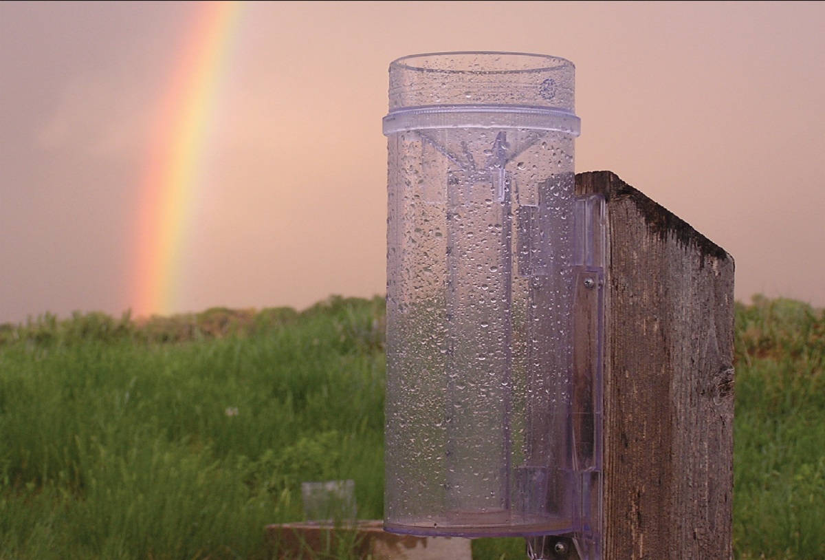
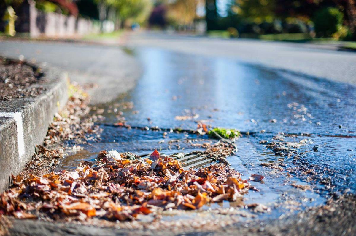
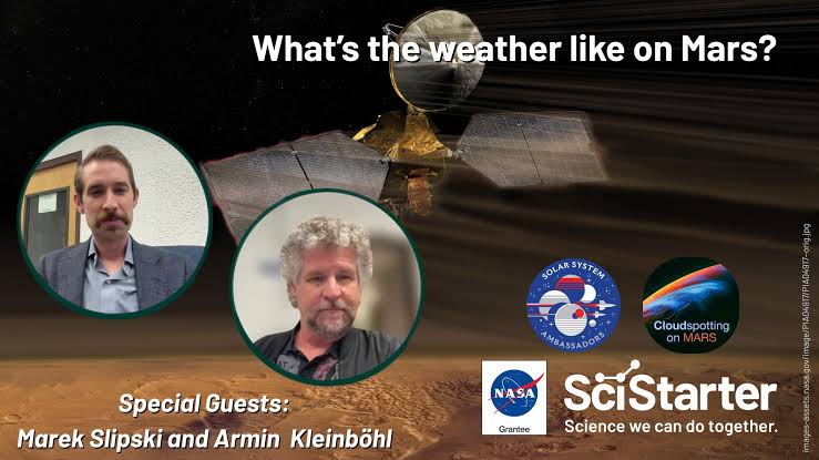
This month, measure precipitation, report local conditions from your phone, or safely clear a storm drain before rain arrives. You can also participate indoors—even helping NASA scientists study clouds and climate on Mars. You never know—we may need that someday!
A quick safety note: Join in only when conditions are safe and follow each project’s instructions.
Science thanks you!
Cheers!
The SciStarter Team
|