View as Webpage


SciStarter Newsletter − February 2026

Facebook  Instagram  X  YouTube
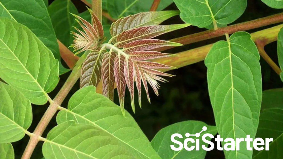
Think you know the plants and critters in your neighborhood? Surprise! Some of them might be invaders.
This week (Feb. 23–27) is Invasive Species Week, the one time each year when scientists, citizen scientists, and curious nature lovers all pause to say: “Wait… that plant isn’t supposed to be here?”
During this unique moment — when many invasive species stand out before native flora leafs out and bugs hide for spring — it’s actually easier and more fun to learn how to spot, ID, and log the species that are disrupting ecosystems across the country. 
Below, you’ll find projects where you can share your observations and help scientists map invasives, right when your sightings count the most.
PS: It's official! The 2.50 Million Acts of Science challenge is a go for Citizen Science Month in April. Learn more.

Go get 'em!

The SciStarter Team

X Share
LinkedIn Share

EDDMapS

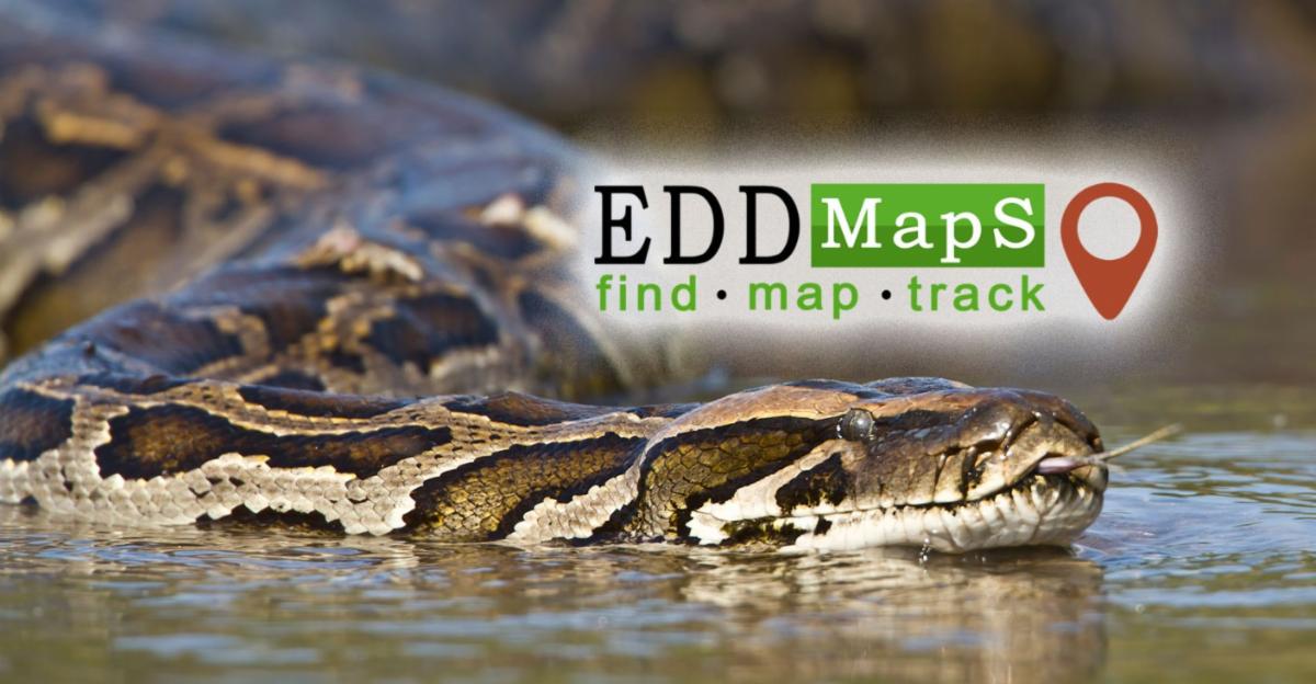
Help track and map invasive species with EDDMapS by submitting sightings through the website or the mobile app, all year long! Your reports help scientists and conservationists monitor and manage ecological threats to protect native ecosystems.


Location: USA & Canada

iMapInvasives

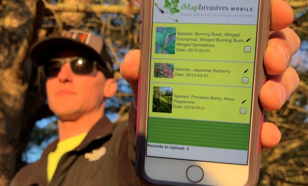
iMapInvasives is an online tool to manage invasive species data, supporting early detection and rapid response efforts. They've partnered with leadership in select parts of the USA and Canada to take action based on the data. Find out where, below!


For insects like the spotted lanternfly, winter and early spring are especially useful for finding egg masses before they hatch in late April and May, giving researchers early clues where future populations might emerge. 


Location: AZ, ME, NY, OR, PA, SK & the Maritimes

GLOBE Observer: Mosquito Habitat Mapper

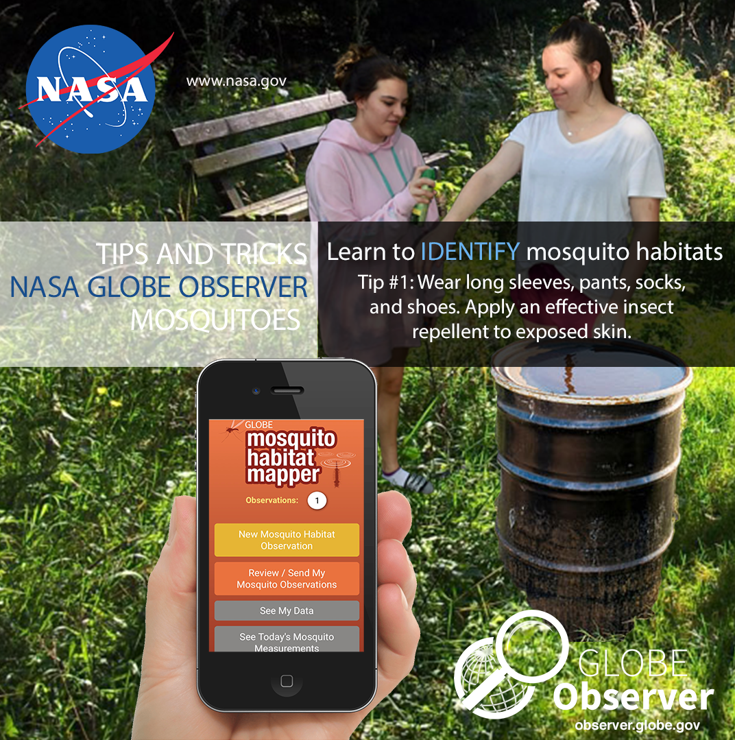
While we love all creatures great and small, it's okay to love mosquitoes somewhat less. Yes, they are important to many aquatic and terrestrial food chains, but they spread misery and disease to millions of people. And increasingly, exotic species are taking hold in new regions. Join the NASA-supported Mosquito Habitat Mapper project to help predict and control outbreaks using a free, easy-to-use app.


Location: Global

Wild Spotter

Spot, map, and report invasive species with Wild Spotter to help protect national forests, parks, and public lands. Use the free Wild Spotter app to take action against invaders and keep these landscapes healthy. 


Location: USA

Squeal on Pigs

Feral swine wreak havoc on farms, forests, and waterways, spreading disease and causing billions in damage. Report sightings with the Squeal on Pigs! app or online tool to help wildlife managers track and remove these destructive invaders. 


Location: USA & Canada

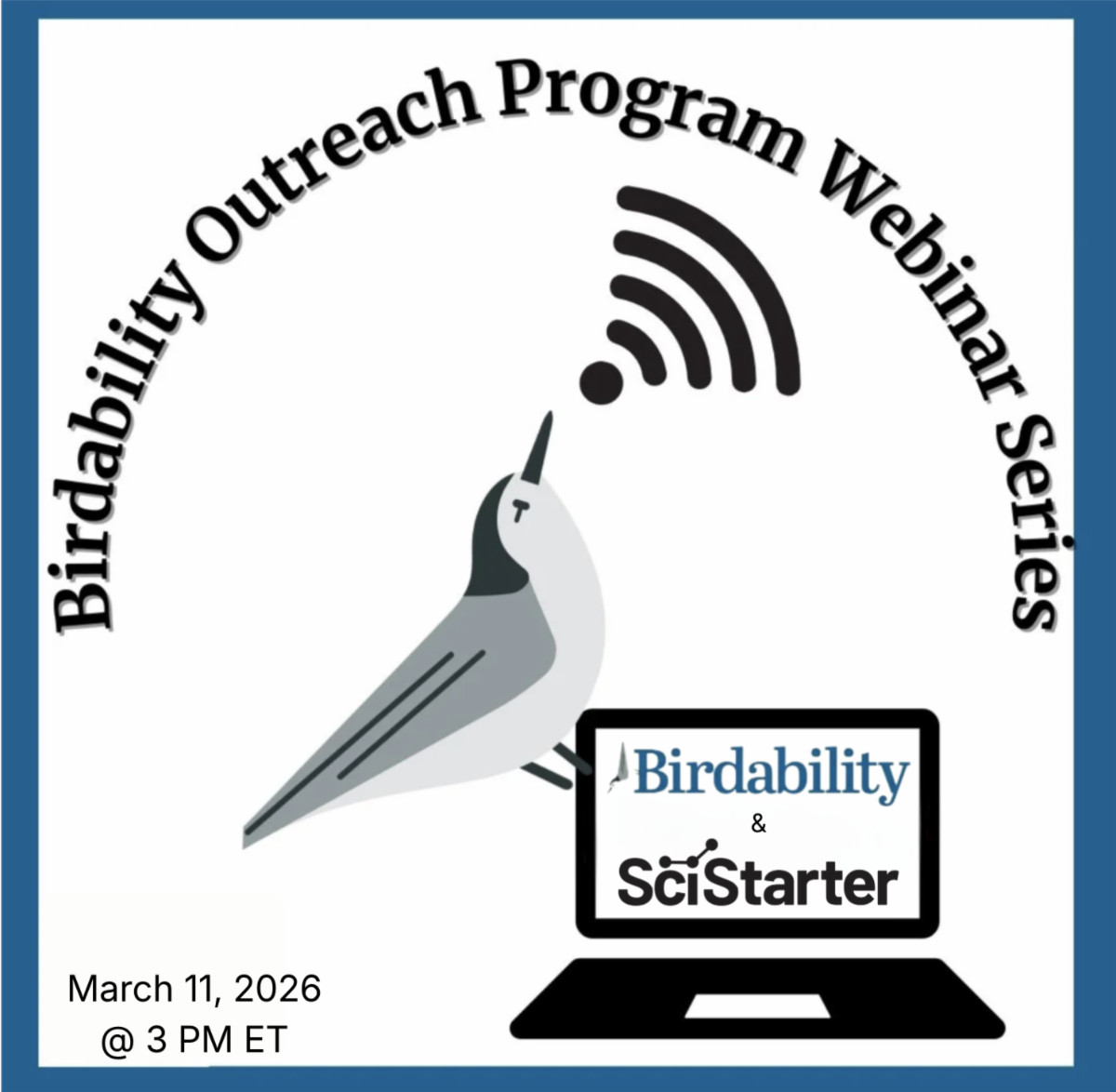
Explore Accessible Birding & Exploration Through Citizen Science Month


Register to join from anywhere! As part of the Birdability Outreach Program webinar series, this session highlights how accessible participatory science connects people of all abilities to real research during Citizen Science Month, no experience needed. Discover how birding, the Birdability Map, and everyday observations can advance science, and connect with a welcoming community. 


March 11 at 12 PM PT / 3 PM ET

🎉 Special Announcement:

Celebrate Citizen Science Month as we aim for 2.50 Million Acts of Science in honor of America's 250th birthday!


Join our signature series, Acts of Science: Connected, for weekly, hands-on events that bring communities together in real time. Watch parties across the country will unite participants around a shared goal—advancing science, together.


👉 Register for a spot or find a local gathering near you!

Event Replay: SciStarter LIVE


In this special SciStarter LIVE event from last year, hear from the iMapInvasives team as they share how to protect local ecoystems.

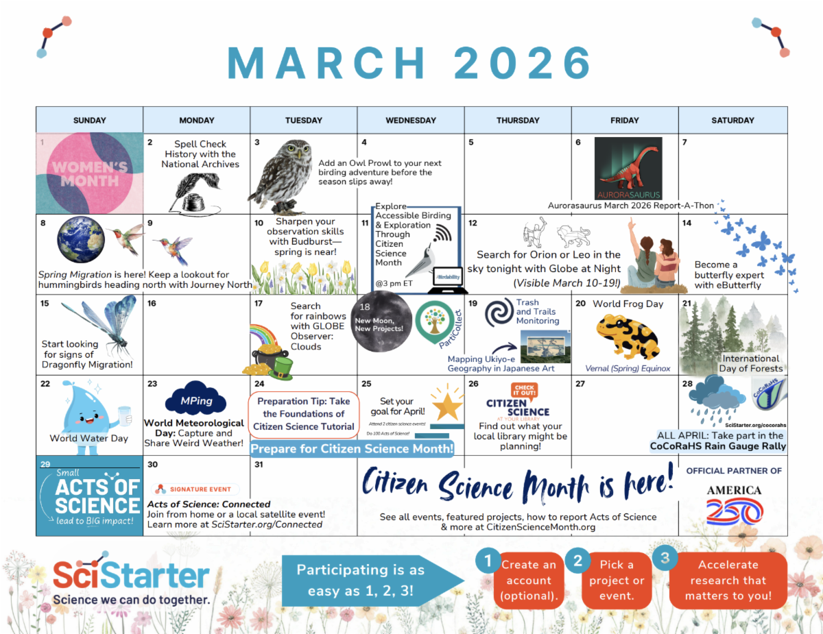
March is packed with events and programs!

Click here to explore and print the calendar.

New projects & events featured on SciStarter