JUNE & JULY SPOTLIGHT

NASA Acres FIAT Showcases NASA Earth Science on Capitol Hill

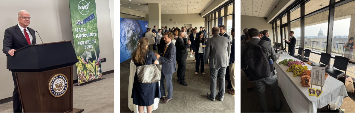
Hosted by Senator Jerry Moran (KS), the NASA Acres Farm Innovation Ambassador Team (FIAT) Capitol Hill Reception brought together more than 250 participants from across the country last month to showcase how NASA Earth observation science is strengthening American agriculture. Congressional staff from dozens of Senate and House offices joined farmers, NASA Earth Science and NASA Acres leadership, researchers, agricultural organizations, and industry partners to explore how NASA's satellite data and decades-long commitment to agriculture are improving productivity, resilience, and competitiveness.

Collaboration and Innovation for American Agriculture at the NASA Acres Science Meeting

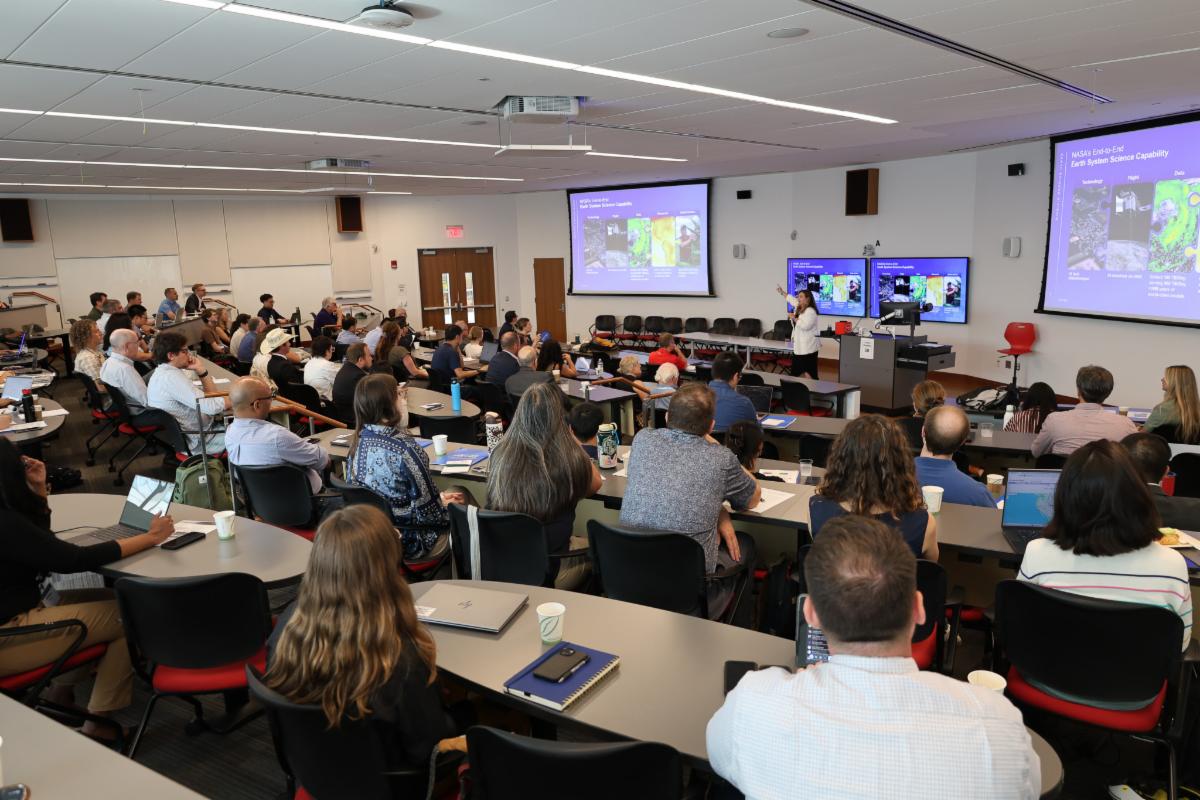
How can NASA Earth observation science better serve American agriculture? That question brought together more than one hundred researchers, farmers, extension professionals, industry leaders, and partners from across the country for the 2026 NASA Acres Science Meeting at the University of Maryland.

Bringing Farmer Perspectives to NASA: FIAT Visits Goddard Space Flight Center and NASA Headquarters

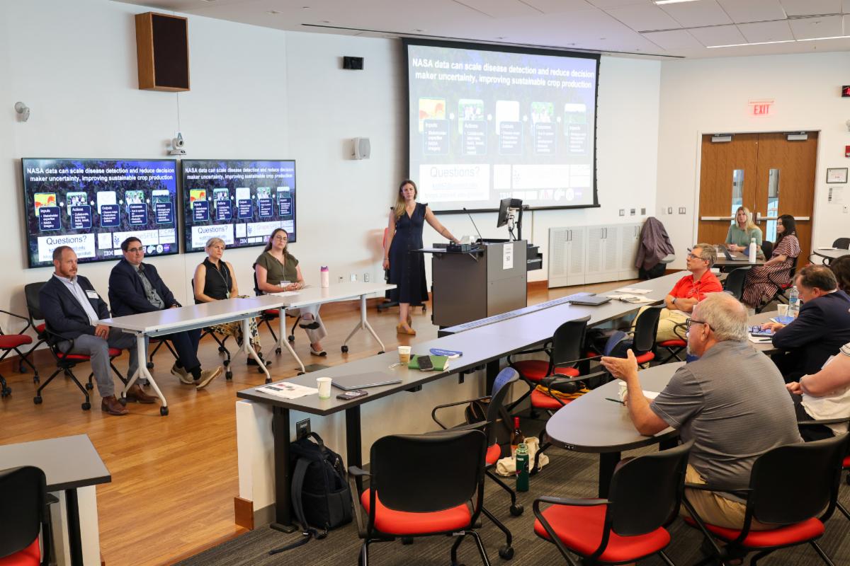
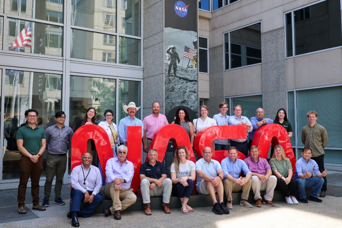
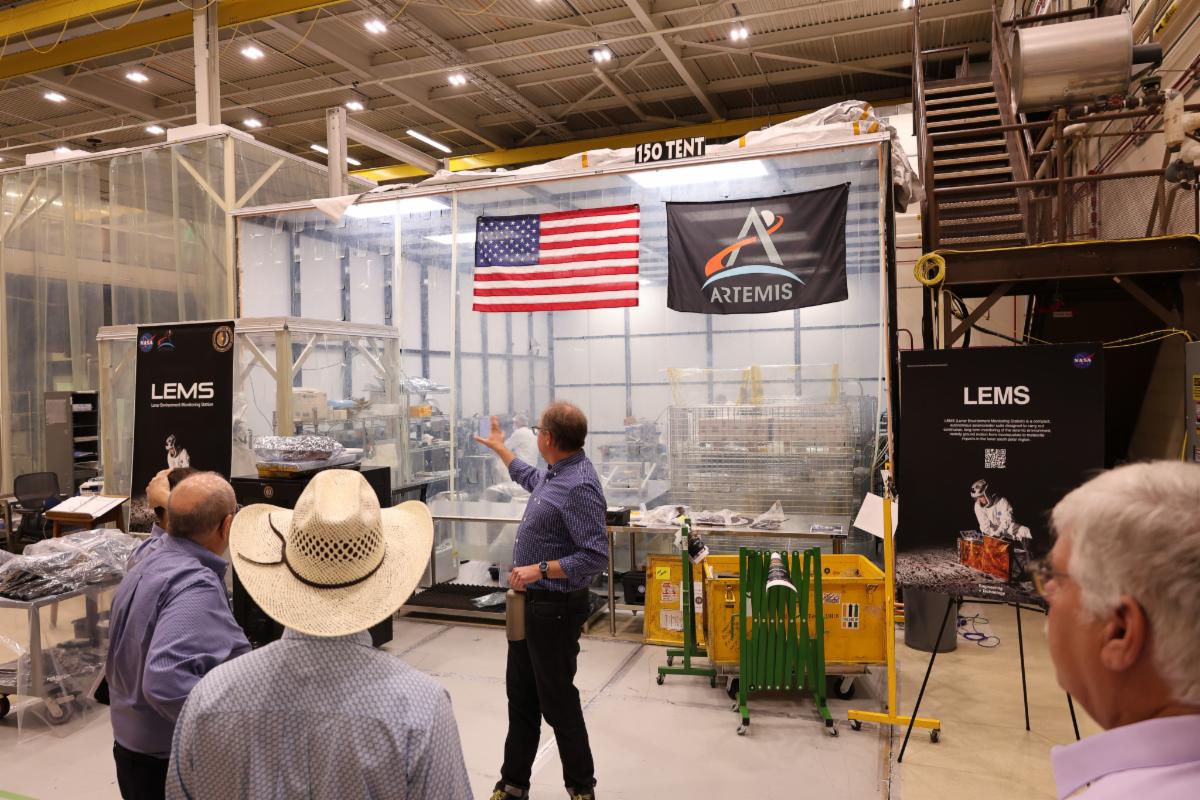
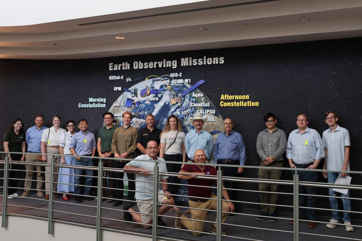
Members of the NASA Acres Farm Innovation Ambassador Team (FIAT) visited NASA Goddard Space Flight Center and NASA Headquarters for a day of collaboration with the scientists, engineers, and leaders developing NASA's Earth observation and space exploration capabilities for the benefit of American agriculture. During the visits, FIAT members received an inside look at the science, technology, and operations behind NASA's Earth observation missions, toured the Earth Information Center, and met with NASA Earth Science leadership for a roundtable discussion. 

LATEST SCIENCE

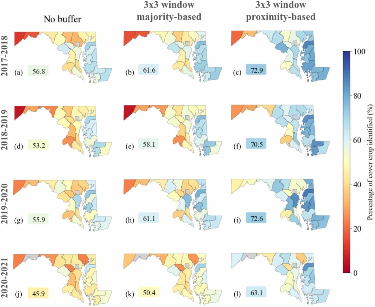
The impacts of cover crop biomass on satellite-based detectability of cover crops in Maryland


This study by NASA Acres RD&E partners Drs. Kaiyu Guan, W. Dean Hively, Alison Thieme, Steven Mirsky, and other researchers investigates how cover crop biomass affects satellite-based detection in Maryland using remote sensing data from 2017-2021. The researchers developed a time-integrated satellite approach using Harmonized Landsat-8 and Sentinel-2 data to estimate cover crop biomass and evaluate detectability. The study demonstrates how management practices affect cover crop biomass and detectability via satellite time series and provides insights that can inform management of cover crops and monitoring of their effects on agroecosystems.

WHAT'S NEW AT NASA ACRES

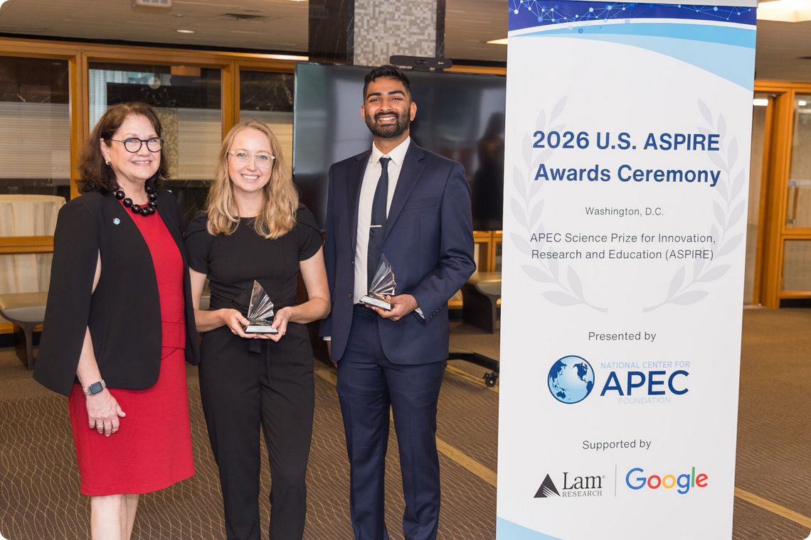
NASA Acres Partner Named U.S. Nominee for 2026 APEC ASPIRE Prize


NASA Acres research partner Dr. Hannah Kerner has been named the U.S. nominee for the prestigious 2026 APEC Science Prize for Innovation, Research and Education (ASPIRE). The nomination recognizes her work advancing AI and machine learning to strengthen agricultural insights, food security, and resilience.

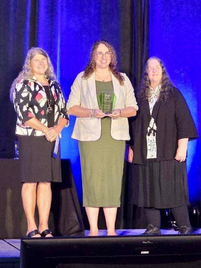
NASA Acres Partner Dr. Katie Gold Receives 2026 APS Hewitt Award


NASA Acres recognizes research partner Dr. Katie Gold, who recently received the American Phytopathological Society’s (APS) 2026 Hewitt Award. The award honors Gold’s contributions to plant disease epidemiology and remote sensing, including her NASA Acres-supported work advancing satellite-based approaches to detect and manage crop disease.

OPPORTUNITIES

Help shape the next decade of NASA Earth Science


The National Academies of Sciences, Engineering, and Medicine is seeking community input for the 2028–2037 Decadal Survey for Earth Science and Applications from Space (ESAS 2028). The survey will help establish priorities for NASA Earth Science over the coming decade, including research, applications, observational needs, and approaches for expanding the impact of Earth observations. Input from end users of Earth observation data, including the agriculture community, will help inform this important process. Responses are due August 24, 2026.

Applied Remote Sensing Training Program (ARSET): Fundamentals of Remote Sensing

Build skills to use remote sensing data for a range of applications related to air quality, public health, agriculture, disasters, ecological conservation, water resource management, climate resilience, and wildland fires. From "How do satellites work?" to "How can I use satellite data to make a flood map?," there are trainings available for all levels of experience at no cost. 


New to remote sensing? Start with Fundamentals of Remote Sensing and learn the underlying science behind how remote sensing works and the basic functional characteristics of satellites and sensors. This course is often a prerequisite for other ARSET trainings. Available any time in English and Spanish

Linkedin  X  Facebook  YouTube