Suddenly we find it is time to bid March farewell, and welcome April's sunshine and daffodils. Can you believe we have reached the second quarter of the year? Whispered thoughts of summer arise as the weather warms. But we have only just begun hearing the peepers, and only a few of the boldest "dafs" have opened their brilliant blooms. Plenty of Spring left to enjoy!
Our Guest Rooms are booking up for the summer, so if you plan to visit the Cape, make your plans soon!
In this email we are excited to offer some marvelous, rare maps that you don't want to miss!
|
|
Below, we shall highlight some exciting new maps, but you can always visit our Newly Listed Maps section to see everything from the past month or so. We have a Great Maps - Super Deals category that offers our discounted items. And don't forget that we also have a category specifically for maps under $100!
If you are looking for something specific, we recommend using the search function or the "Filter By" function on the left side above the listings to search within a category.
|
|
Munster's Map of the New World |
|
An important map that played a major role in shaping Europeans' understanding of the New World, this map is not often on the market. It also offers an early depiction of the Strait of Magellan, the first inclusion of Japan on a European map, and of course the Sea of Verrazano splitting North America in half. It is a desirable collector's piece, and it remains in its original, uncolored condition. |
|
The New World - Die Neuwen Inseln /
So hinder Hispanien gegen Orient ven dem land Indie ligen
1550 by Sebastian Munster
|
|
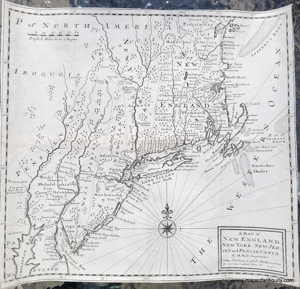
This map was published in David Humphreys' An Historical Account of the Incorporated Society for the Propagation of the Gospel in Foreign Parts. Containing their Foundation, Proceedings, and the Success of their Missionaries in the British Colonies, to the Year 1728. It is rarely on the market. Notable features include East and West Jersey stretching quite far north, a tall and skinny New York with a plump Long Island, a squished Cape Cod and oddly-shaped Nantucket (labelled Nantucher on the map) and Martha's Vineyard (labelled Martin's Vineyard on the map). This map is as fascinating and delightful as it is rare. |
|
A Map of New England, New York, New Jersey and Pensilvania
1730 by Moll
|
|
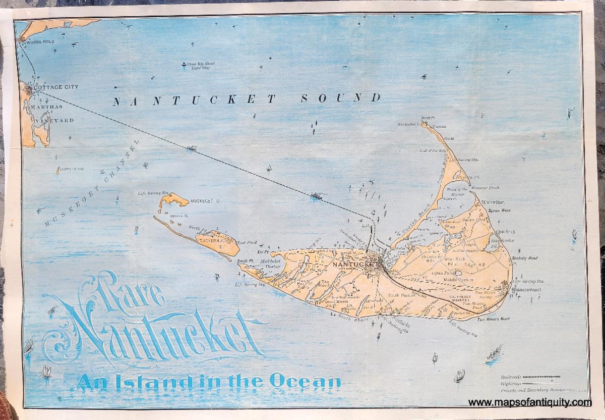
The title of this map says it all. We have not seen this map of Nantucket during our years in the map business, nor can we find any evidence of it from other dealers. It is a stunning travel map published by Rand Avery Supply Co, probably around 1888-1905. A very exciting opportunity for collectors of Nantucket maps. |
|
Rare Nantucket, An Island in the Ocean
c. 1888-1905 by Rand Avery Supply Co.
|
|
Moll's "Codfish Map" of North America |
|
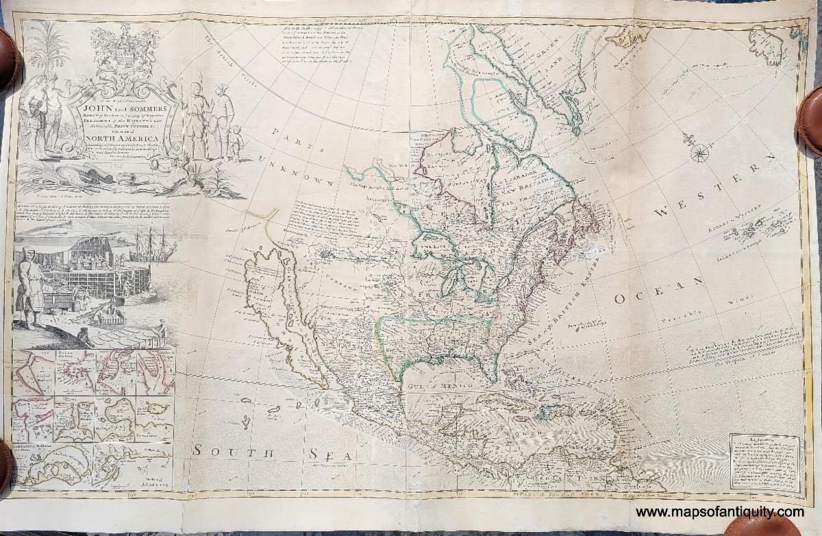
This map is a favorite of collectors as it is one of the earliest large-format maps of North America printed in England. Some of the cartography was based on outdated information, thus resulting in a slightly squished New England and oddly-shaped Canadian Maritimes. This map also includes Caifornia as an island and the Straits of Annian, which was merely a rumor and related to the search for the Northwest Passage. It also shows the routes of various explorers, many of whom were searching for that very passage in Hudson Bay. |
|
To The Right Honorable John Lord Sommers . . . This Map of North America According To Ye Newest and Most Exact Observations
1715 by Moll
|
|
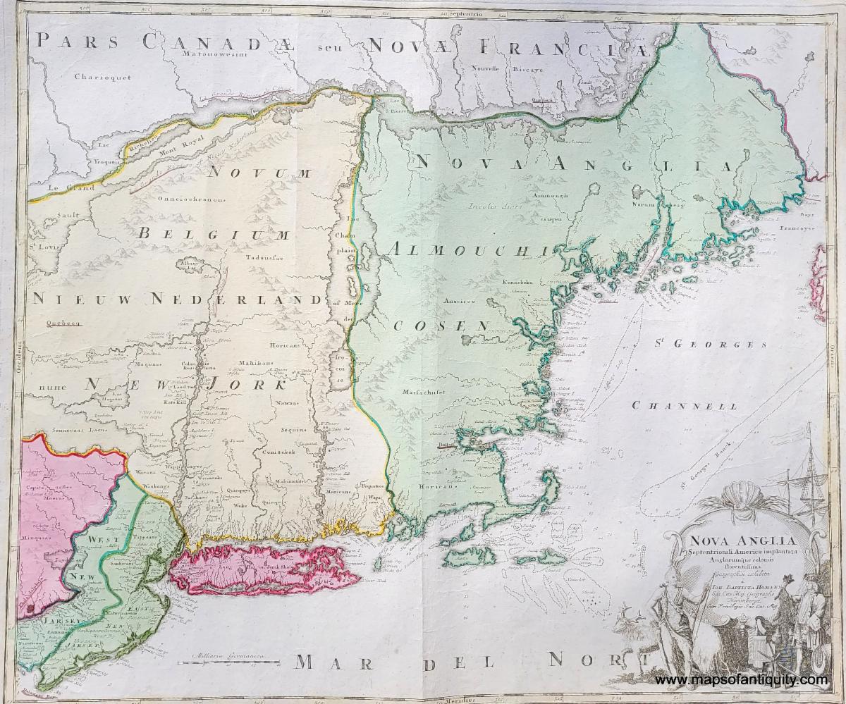
This map shows early interpretations of Long Island, Cape Cod and the Islands, and Lake Champlain, among other areas, with Native American Indian tribes, forts, topography and some bathymetry, particularly relating to known shoals along the coast. Interesting geographical aberrations include Cape Cod split in pieces, Cape Ann shown distinctly as an island, East and West New Jersey shown clearly, a rather round Lake Champlain that is on the wrong side of the Connecticut River, and some unusual lakes in the west. |
|
Nova Anglia Septentrionali Americae Implantata Anglorumque Coloniis Florentissima Geographice Exhibita
c. 1720 by Homann
|
|
We wish we could highlight every newly-added map, chart, and print and give each one its moment in the spotlight, but unfortunately it just isn't possible. Here are a few more noteworthy items you don't want to miss! |
|
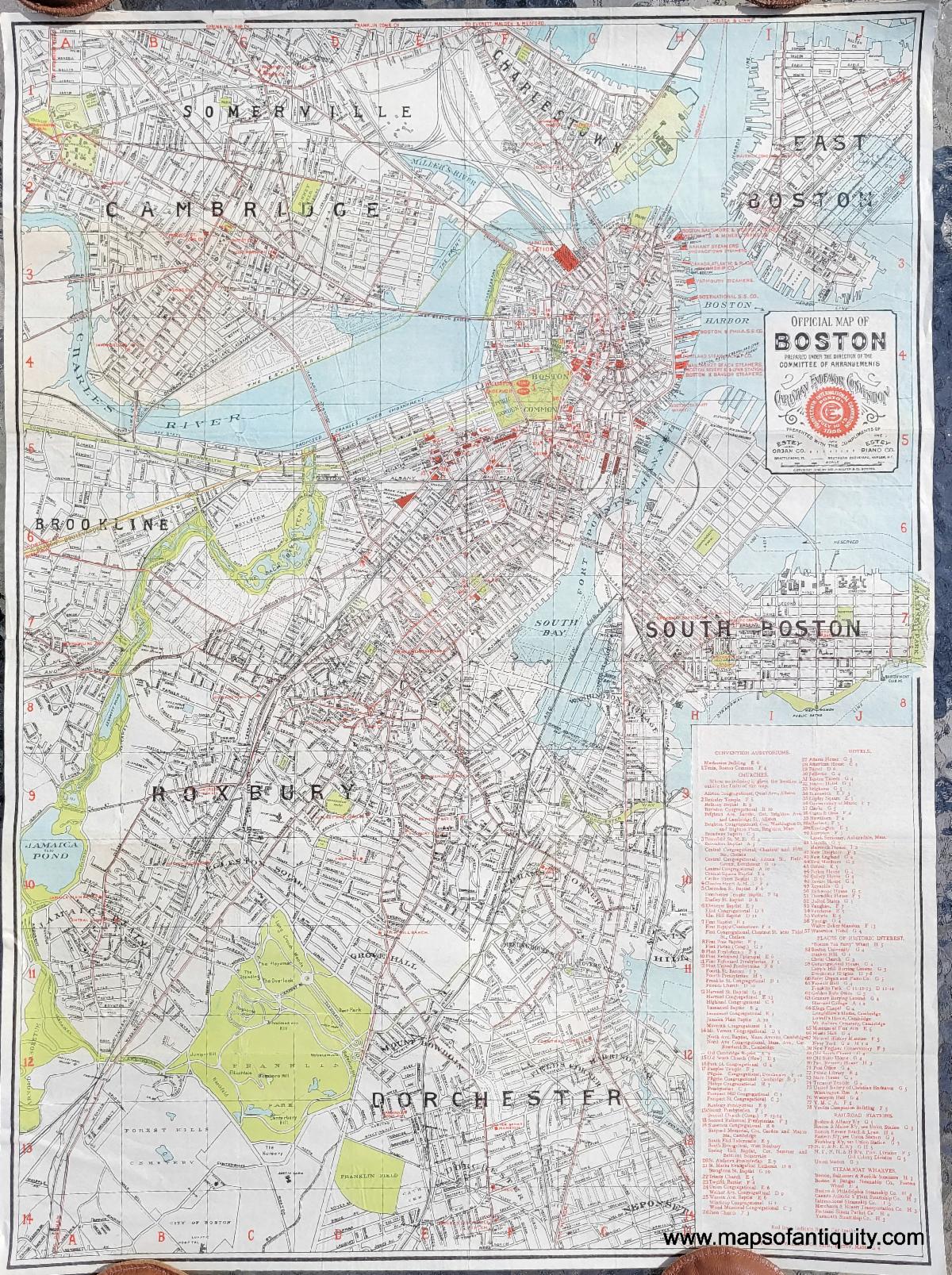
1895 - Official Map of Boston by Walker for the Christian Endeavor Convention - Antique Map |
|
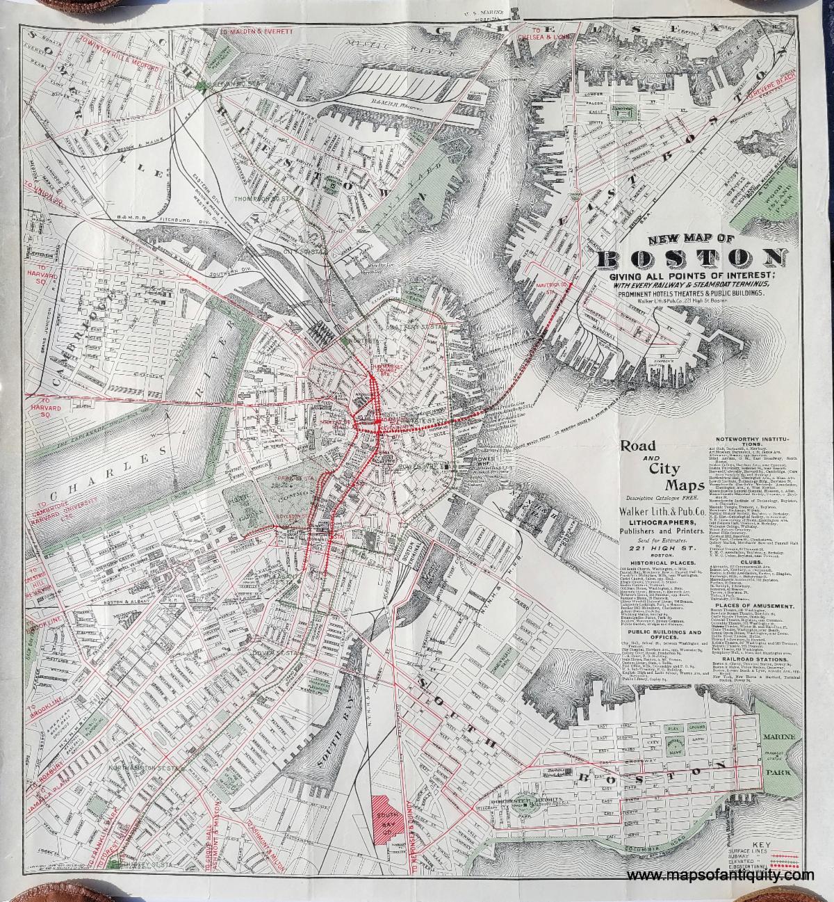
1909 - New Map of Boston Giving all Points of Interest; with every Railway & Steamboat Terminus, Prominent Hotels, Theatres, & Public Buildings - Antique Map |
|
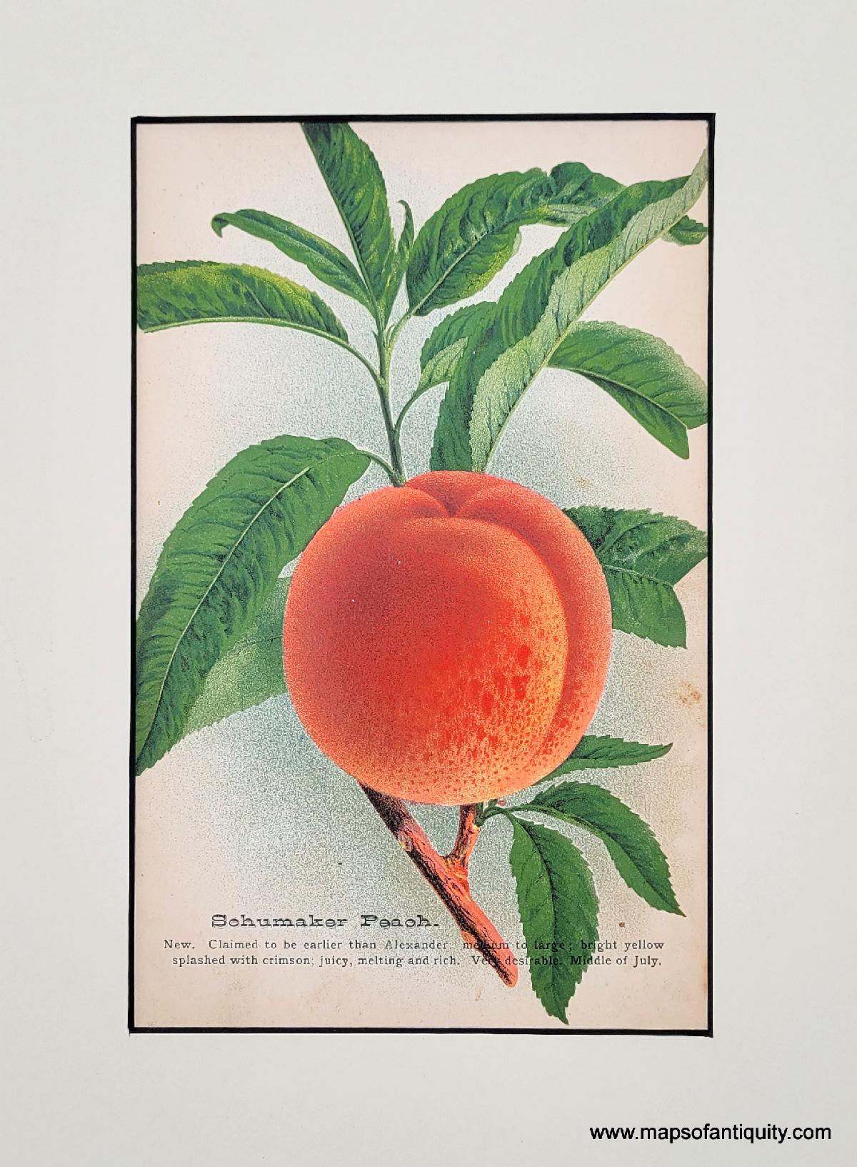
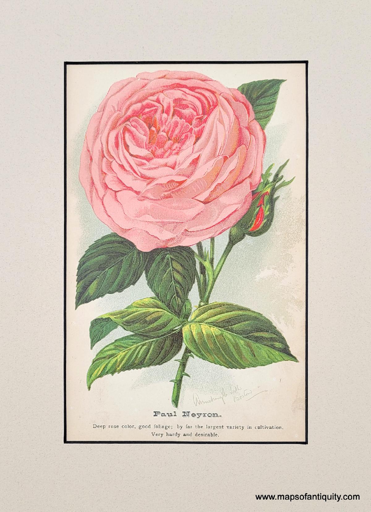
After the enthusiasm that greeted the botanical prints in our last email, we have added more, including some peaches and roses, and so many others! |
|
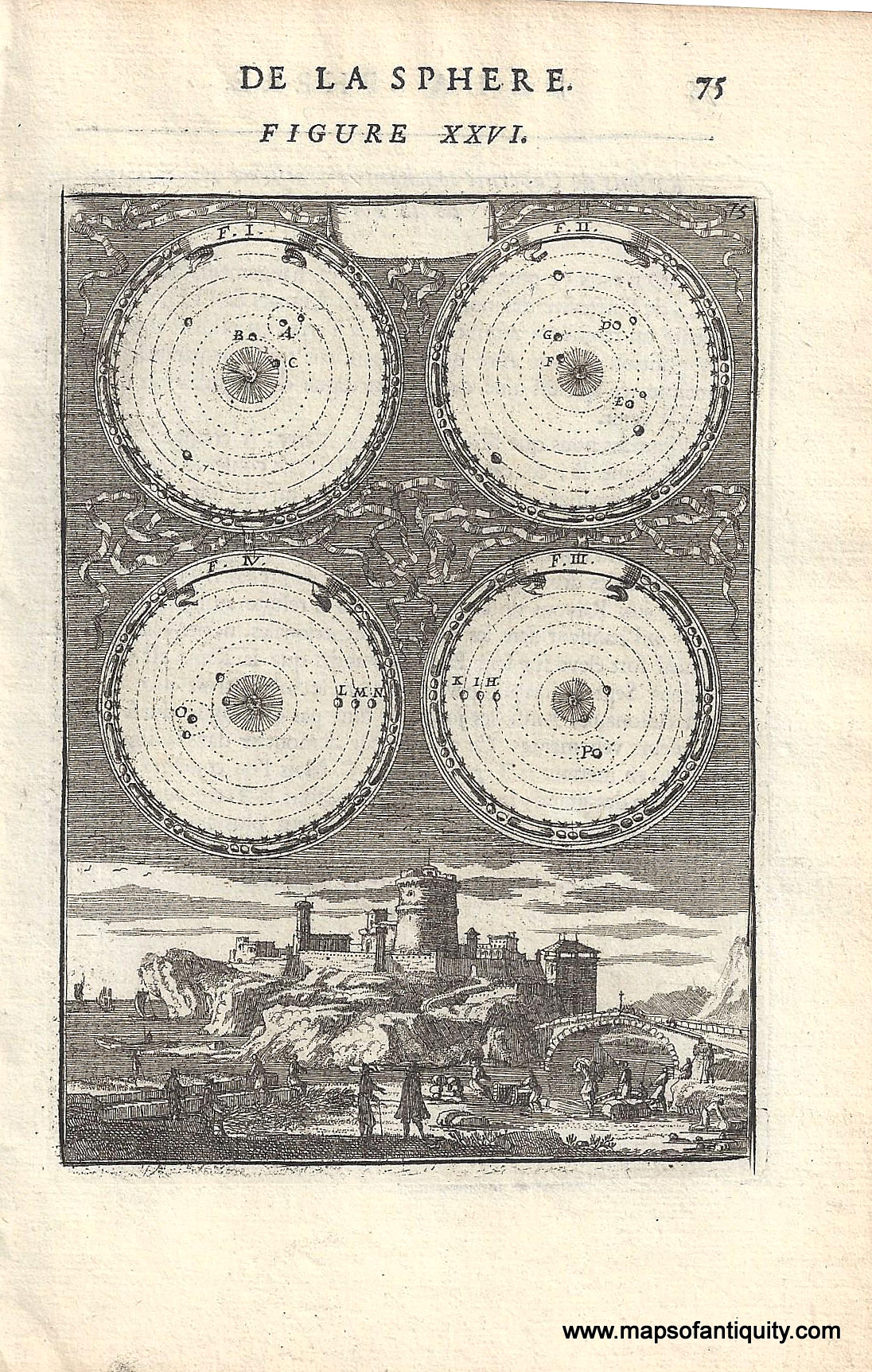
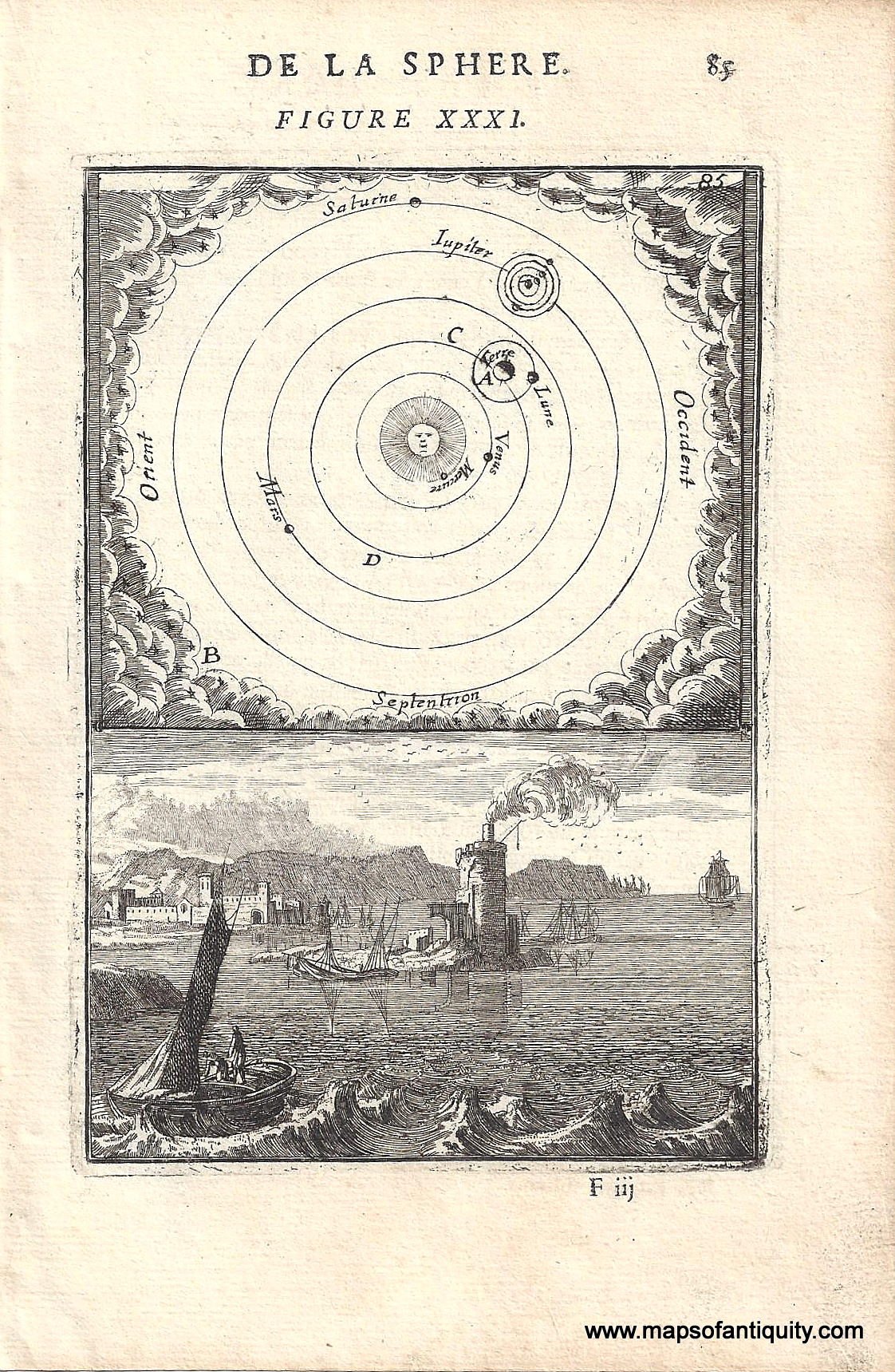
Mallet's astronomical prints from 1719 are truly fascinating for anyone interested in the history of humans' study of the celestial bodies. |
|
Our shop is currently operating on winter hours!
Tuesday - Saturday 10am - 5pm.
We are closed Sundays and Mondays until May 1st.
Or give us a call at: 508-945-1660
If you or your loved-ones need accommodations, send them over to our converted 18th century farmhouse, Chatham Guest Rooms. We have been very well reviewed on TripAdvisor!
Do you need a getaway? Take a winter trip to Cape Cod and enjoy the wood-burning fireplace in our Main Suite!
Planning for summer? Make your bookings early to ensure you get your preferred dates and accommodations! We are getting bookings daily for the summer months.
Book your stay now at Chatham Guest Rooms! The rates are reasonable and you will be staying in the building that is home to Maps of Antiquity! You can pop in to look at maps quite easily during business hours. We rent rooms year 'round!
|
|
Maps of Antiquity | 508-945-1660 | 1409 Main St, Chatham MA | Website
|
|
|
|
|
|
|