|
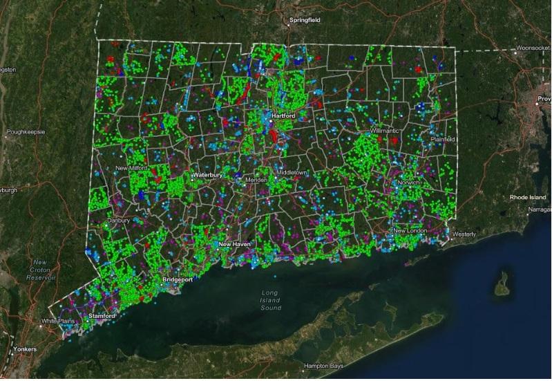
The State Historic Preservation Office is thrilled to announce the launch of our new statewide digital resource, ConnCRIS, on Friday, April 14th! The Connecticut Cultural Resource Information System, also known as ConnCRIS, is an interactive geospatial database that will be available online at conncris.ct.gov next Friday.
“Geospatial” refers to sets of data that are tied to geographic and locational information. In this case, descriptive information about known archaeological sites and historic properties are connected to a map with multiple, searchable layers. All historic resources documented through survey or historic designations are mapped with location points. Survey areas and historic district boundaries are also drawn. More than 70 years of SHPO records have been digitized, including nearly 100,000 pages of surveys alone! So far, ConnCRIS contains 96,543 location points!
Next Friday’s launch of ConnCRIS allows access to above-ground, historic architectural resource data, such as State and National Register listed properties, and a variety of map layers that can be turned on and off. No log-in, permission, or downloads are required, and a user-guide is available within the map application. A full launch of ConnCRIS will follow. The full launch will include log-in access to view additional information, such as PDFs of surveys, documentation reports, and designation forms that are linked to each data point. Access to sensitive data will also be available to qualified individuals through the log-in.
ConnCRIS is free of charge. The system also includes a feedback form to report any requests for edits or issues with performance. ConnCRIS will be updated regularly with the latest historic survey and designation data. Please contact Jenny Scofield, jenny.scofield@ct.gov with any questions or for more information.
|