|
With that chore quickly put to rest, it was time to tackle the roads around the eastern edge of the Smokies to complete the drive around the big park that we started yesterday. First up was highway 321. This road was lined with RV parks, some junky, some well maintained, all jammed with RVs practically stacked on top of each other. Now, that’s camping! (I am being facetious.)
I have to say, these RV parks soak up a lot of campers that would otherwise be crowding the nicer campgrounds even more than they are. For that, I am a big fan of them.
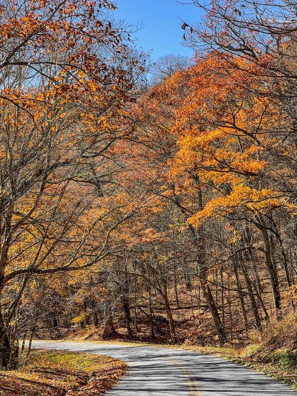
At the northeastern corner of the Smokies, we headed south on Highway 32. This was more of the kind of mountain road that we like - twisty and curvy. We stopped off at a tiny BBQ joint for a noon sandwich.
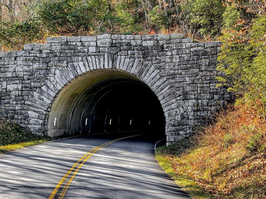
We cheated by driving a short stretch on I40. As far as interstate highways go, it was still scenic and fun. You get to twist and turn at 65 mph with a tunnel or two thrown in.
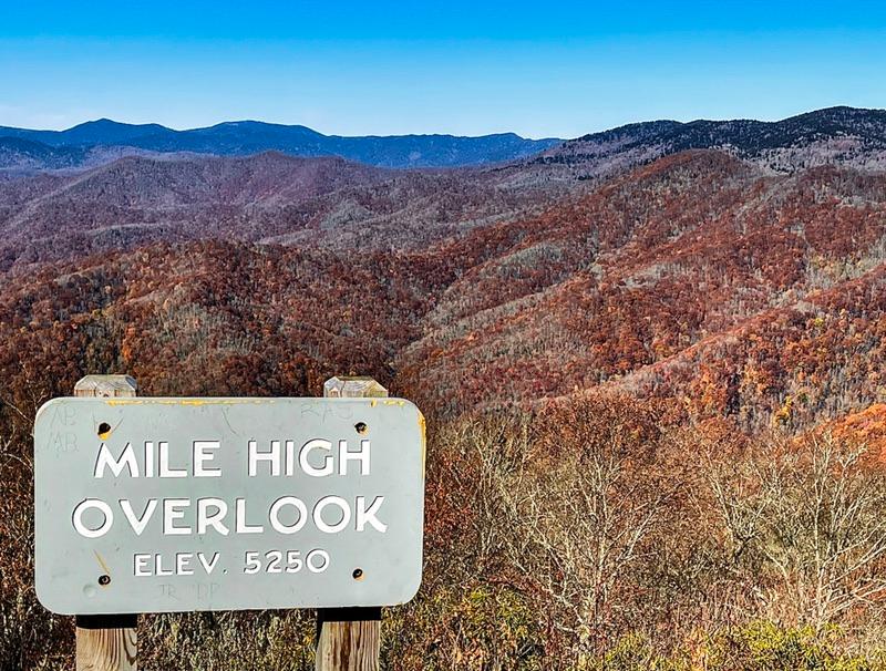
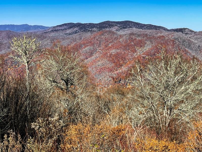
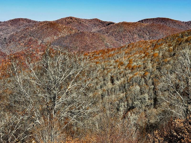
Once around the eastern side of the park, we turned west on highway 19 to hook up with the Blue Ridge Parkway. Here, Google Maps showed just how much it truly despises the Blue Ridge Parkway. Maps tried to keep us on highway 19. When I insisted on Blue Ridge by turning onto it, Maps tried to send us on Mile High Road, a gravel mountain goat path. Jeez, what gives with that?
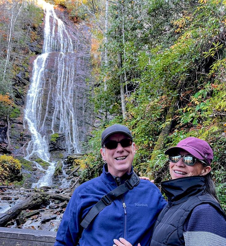
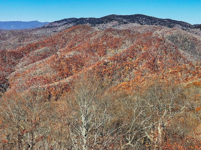
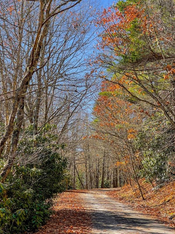
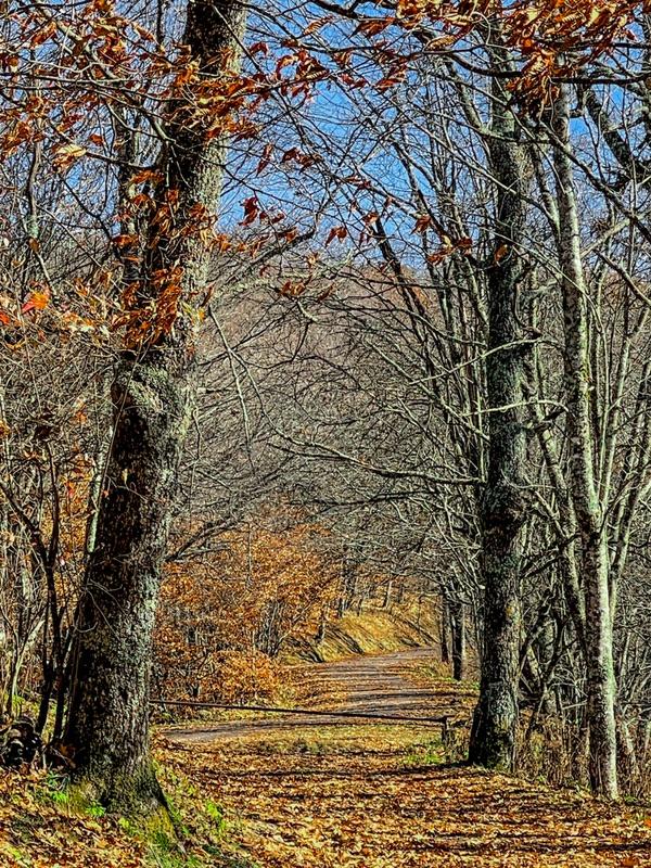
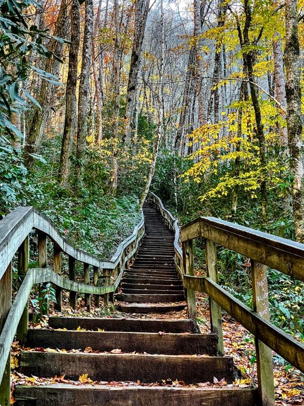
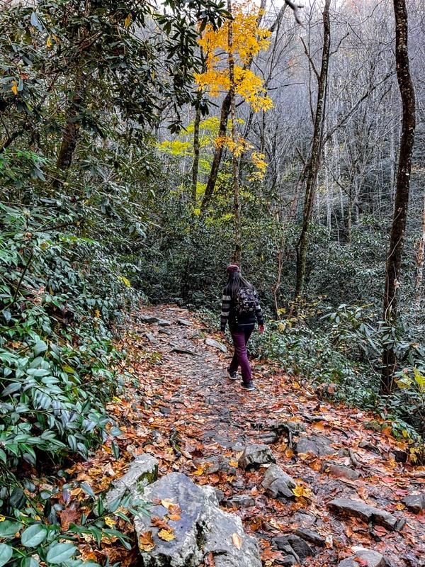
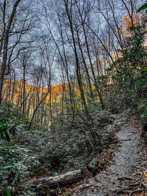
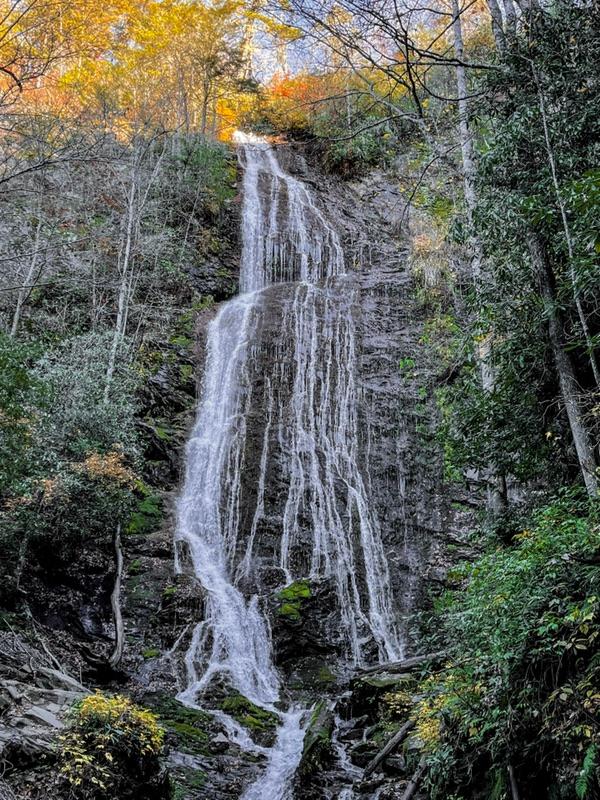
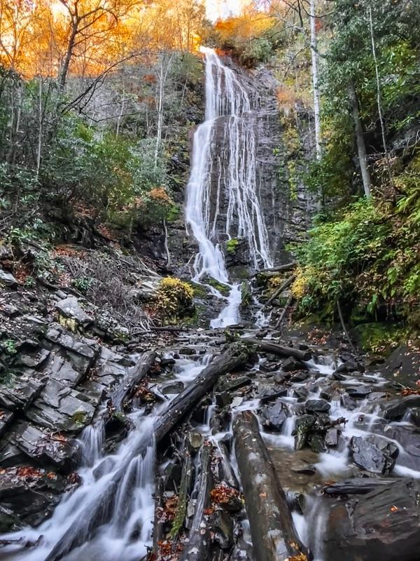
My plan was to catch another one-lane one-way loop that starts at the eastern end of the Parkway, and ends at the western end. On the paper map, it starts off as Heintooga Ridge Road, morphs into Round Bottom Road, and finally turns into Big Cove Road. Along the Big Cove Road segment, is a trail to Mingo Falls.
|