See Past Issues

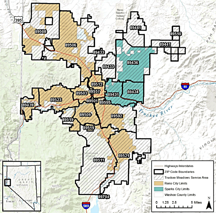
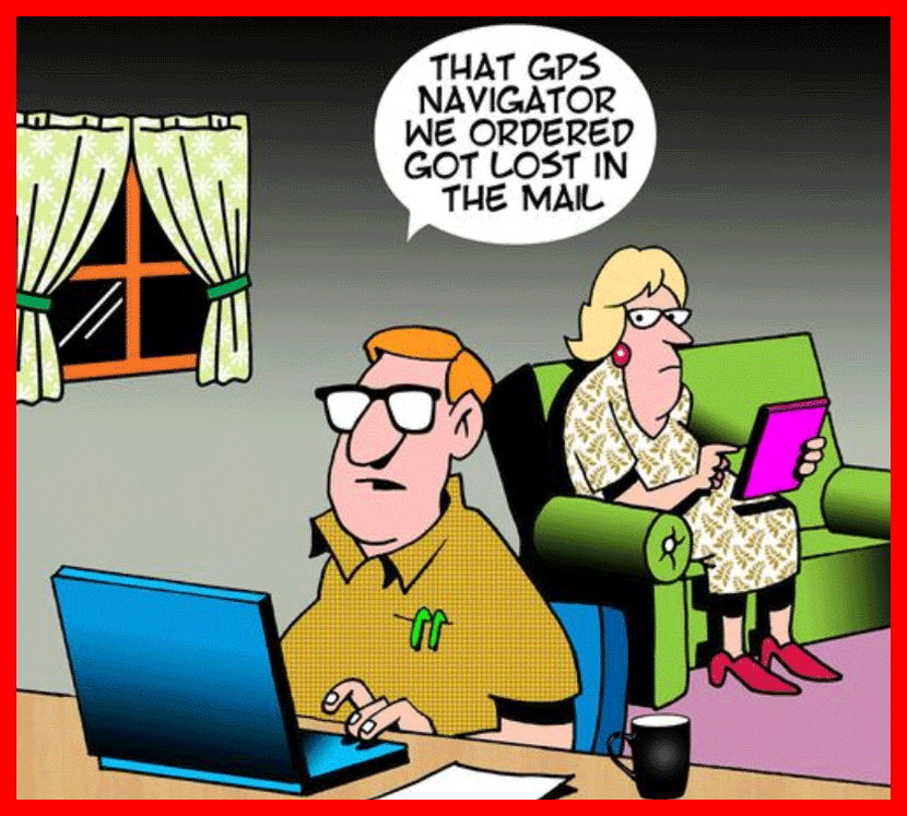
If you are looking for a home in the Reno-Sparks area, you may spend some time driving around town checking out properties. But . . . even if you use a GPS, it's helpful to refer to a mapping website.


Many people like to search by ZIP codes. Google has very good zoomable ZIP code maps. Links below.

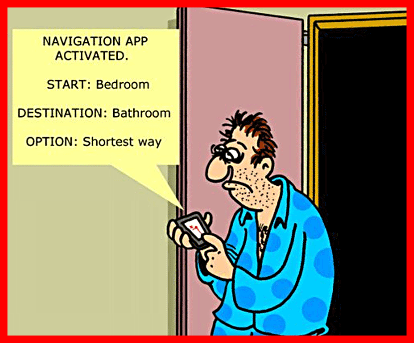
Over-reliance on GPS has eroded away our spatial awareness.


You become more focused on your phone, and less on your overall surroundings.


When you follow directions from GPS apps or navigation systems, you don’t gain a full understanding of your environment. Instead, you become dependent on technology.


Despite its convenience, GPS receivers make us less aware of our surroundings.

Digital interfaces are good for acquiring surface knowledge. Answering the question, “How do I get from the airport to my hotel in a new-to-me city?” is a pragmatic problem that requires only shallow information to answer. If you’re traveling to a city for only 24 hours for a business meeting, there’s usually no need to learn much about a city’s layout.


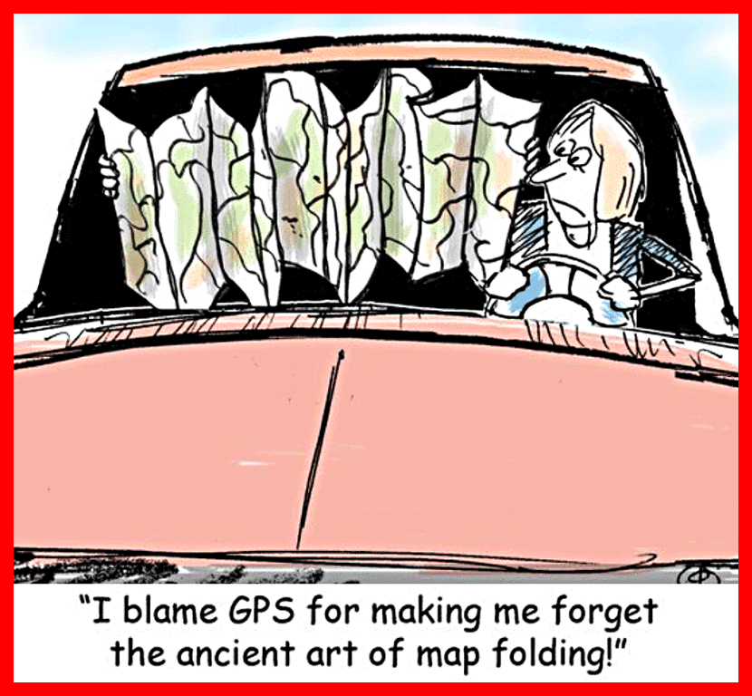
When you live in a place, or you want to travel meaningfully, deep knowledge of the geography will help you to navigate it and to understand its culture and history. Print maps help you acquire deep knowledge faster and more efficiently.


In experiments, people who read on paper consistently demonstrate better reading comprehension than people who read the same material on a screen.


A study showed that, as a person’s geographic skill increases, so does their preference for paper maps.

Another factor in the paper versus digital debate is accuracy.


Obviously, a good digital map is better than a bad paper map, just like a good paper map is better than a bad digital map.


Some of the deeper flaws of digital maps are not readily apparent to the public. Digital systems, including cartographic ones, are more interconnected than most people realize. Mistakes, which are inevitable, can go viral and create more trouble than anyone anticipates.


For example: Reporter Kashmir Hill has written about a Kansas farm in the geographic center of the U.S. that has been plagued by legal trouble and physical harassment, because a digital cartography database mistakenly uses the farm’s location as a default every time the database can’t identify the real answer.


“As a result, for the last 14 years, every time MaxMind’s database has been queried about the location of an IP address in the U.S. it can’t identify, it has spit out the default location of a farm in the geographic center of the country,” Hill wrote. “This happens a lot: 5,000 companies rely on MaxMind’s IP mapping information, and in all, there are now over 600 million IP addresses associated with that default coordinate.”

Ultimately, I don’t think it should be a competition between physical and digital. In the future, people will continue to need both kinds of maps.


Instead of arguing whether paper or digital is a better map interface, people should consider what map is the right tool for the task.

Visit My Website
 
Call or Text  775-219-6413
 
Kelly Richmond REALTOR®  License #S.63483