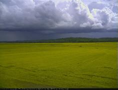
The recent visit of cooler, drier air across Kentucky has provided a break from the summer weather pattern that has brought humid conditions and frequent rain. And state climatologist Stuart Foster says if you think Kentucky’s climate is becoming wetter, you’re probably right.
Since the remarkable flash drought of September 2019, when Kentucky experienced its driest and second warmest September on record dating back to 1895, statewide precipitation has averaged above normal in every month. For the first eight months of 2020, Kentucky averaged 43.81 inches of precipitation statewide, more than 10 inches above normal, according to data from the Midwestern Regional Climate Center. “While amounts have varied from place to place and we have dried out over the past few days, 2020 is still on track to threaten the record of 64.35 inches for the most precipitation in a year set in 2011,” said Foster, director of the Kentucky Climate Center and Kentucky Mesonet at WKU.