|
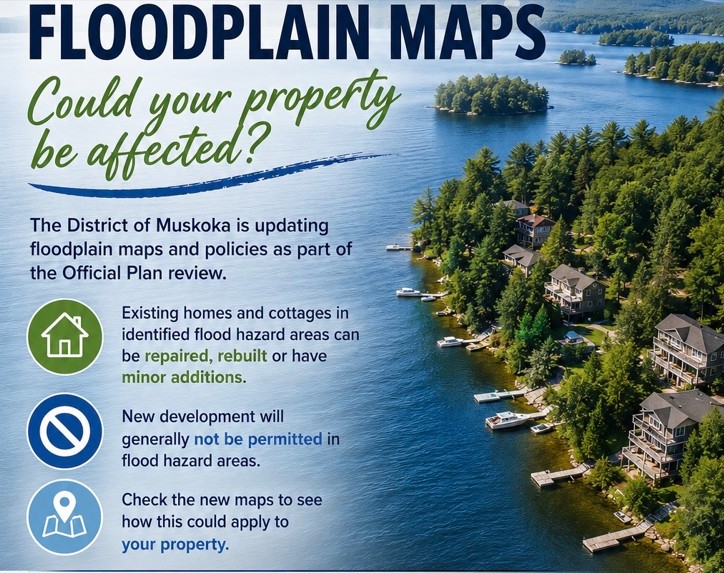
The District of Muskoka Official Plan is under review.
One key revision is updated floodplain mapping and
clearer development rules for properties in the floodplain.
Following a number of significant flooding events, and in response to provincial requirements to identify and protect residents from natural hazards, the District has updated existing mapping throughout the District, including for Lake of Bays.
Under the draft District Official Plan, properties with existing development in identified flood hazard areas are still able to repair, rebuild or add minor additions to their homes or cottages. However, new development will generally not be permitted.
For Lake of Bays, comparatively few dwellings are in the floodplain, but a few are, plus more cabins and sheds.
To learn more about how this could apply to your property, see:
What You Need to Know: Updated Floodplain Mapping and Policies>
For floodplain maps, go to the Muskoka GeoHub:
Floodline and LiDAR Mapping>
You can also attend In-Person Information Sessions on July 23, 1:00 to 3:00 p.m. and 6:00 to 8:00 p.m. at the Terry Fox Auditorium, Gravenhurst Centennial Centre, 101 Centennial Drive, Gravenhurst.
|