|
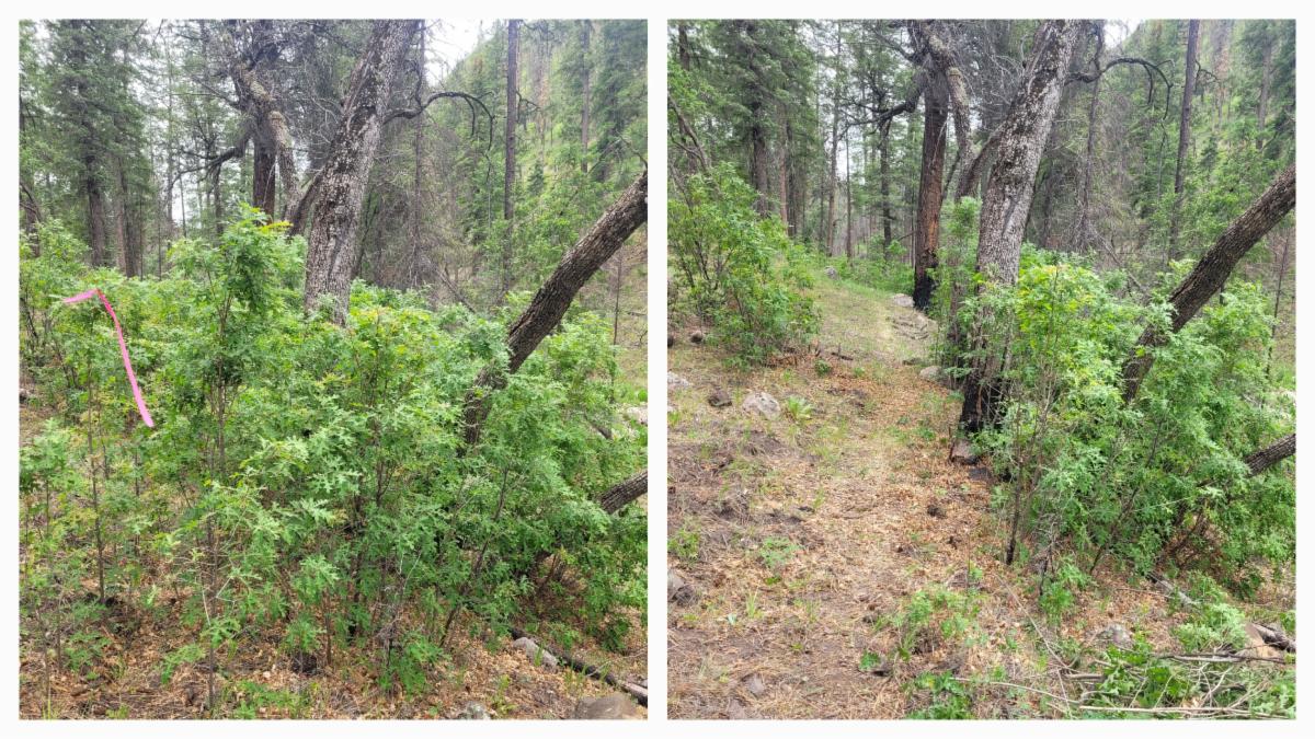
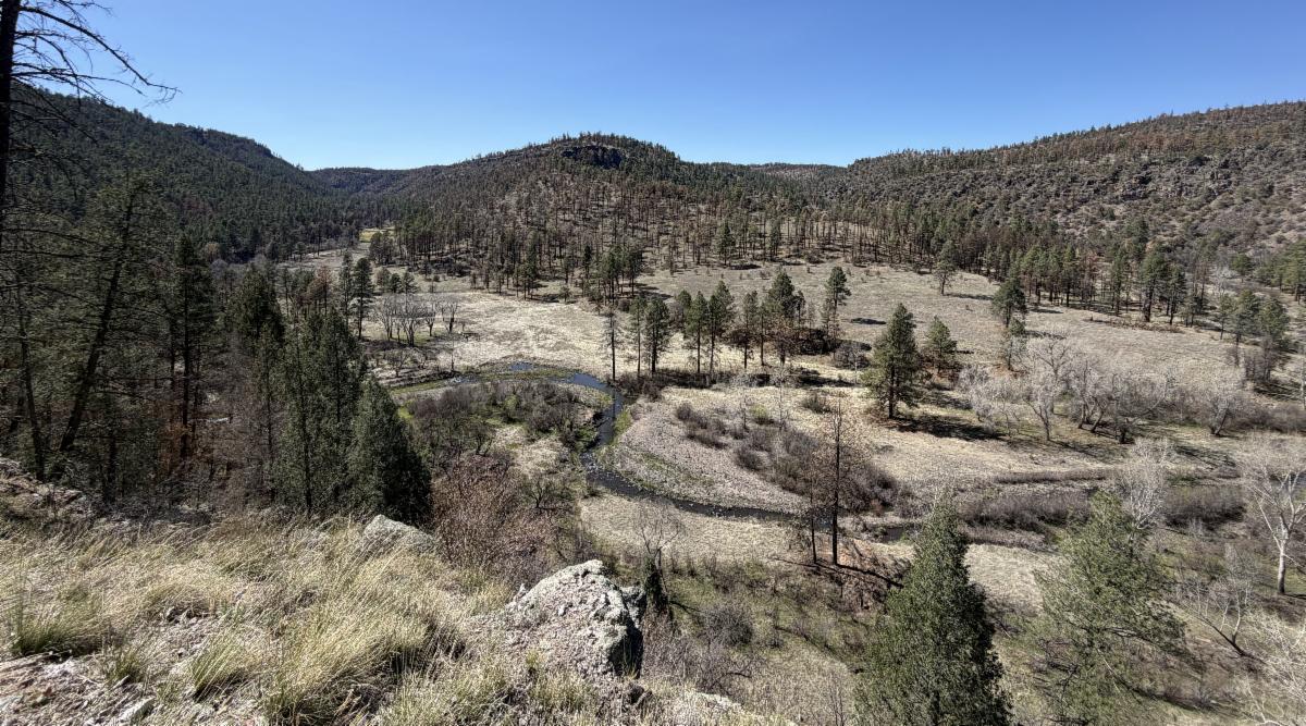
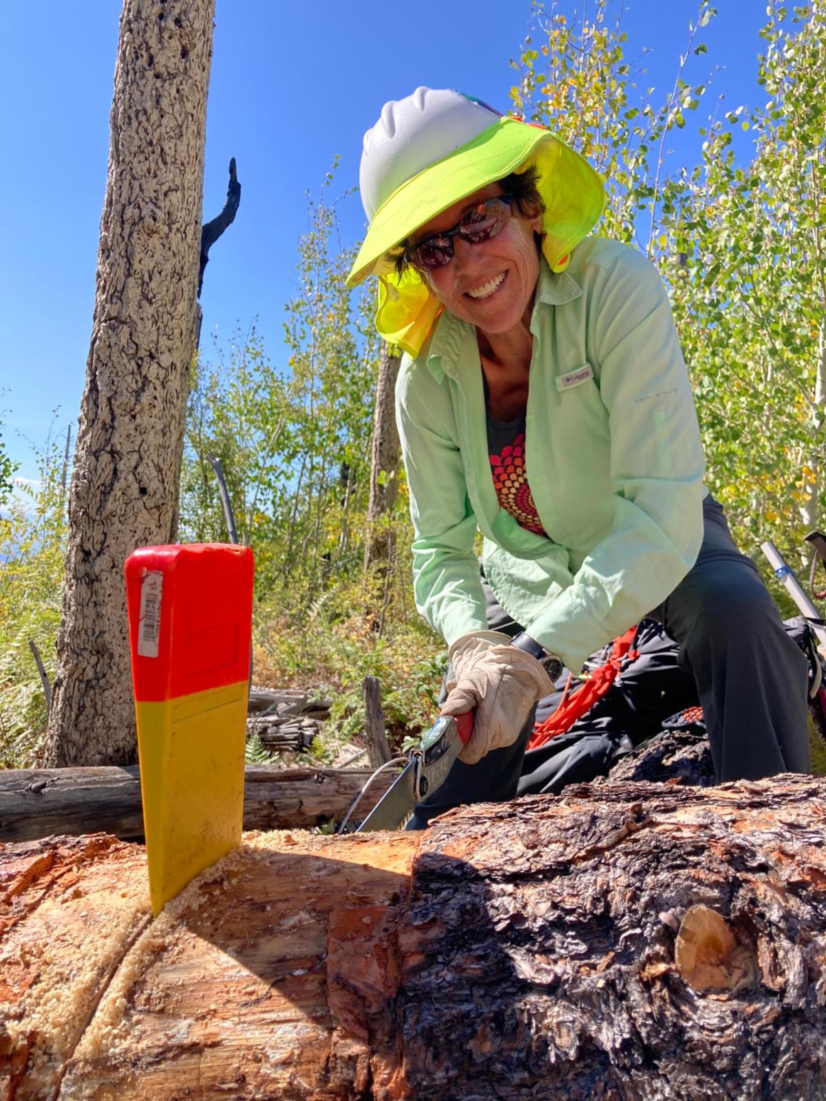
The McKnight Trail has just been maintained for an extra 2.5 miles, making this amazing canyon a rewarding 10-mile out-and-back journey.
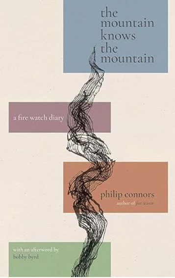
A Little History: This lush canyon has seen more than its fair share of fires and floods, yet it persists. Even before megafires were the norm, McKnight Mountain—the headwaters above this trail—burned catastrophically. As Philip Connors recounts in his book Fire Season, the historic McKnight Fire of 1951 scoured roughly 50,000 acres here, then the largest blaze ever recorded in New Mexico. That record stood for decades.
The canyon has faced further trials since, experiencing major post-fire flooding after the 2013 and 2022 megafires. Hiking this trail with such history in mind makes its continued flourishing all the more awe-inspiring.
Trail Info: The first ½ mile features an exposed, sunny drop into McKnight Canyon from Kelly Mesa. Please remember that you will need to hike up this way on your way out. Hiking poles can be nice for this section.
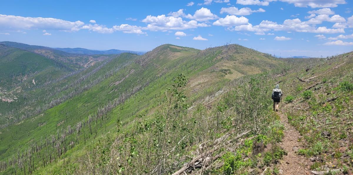
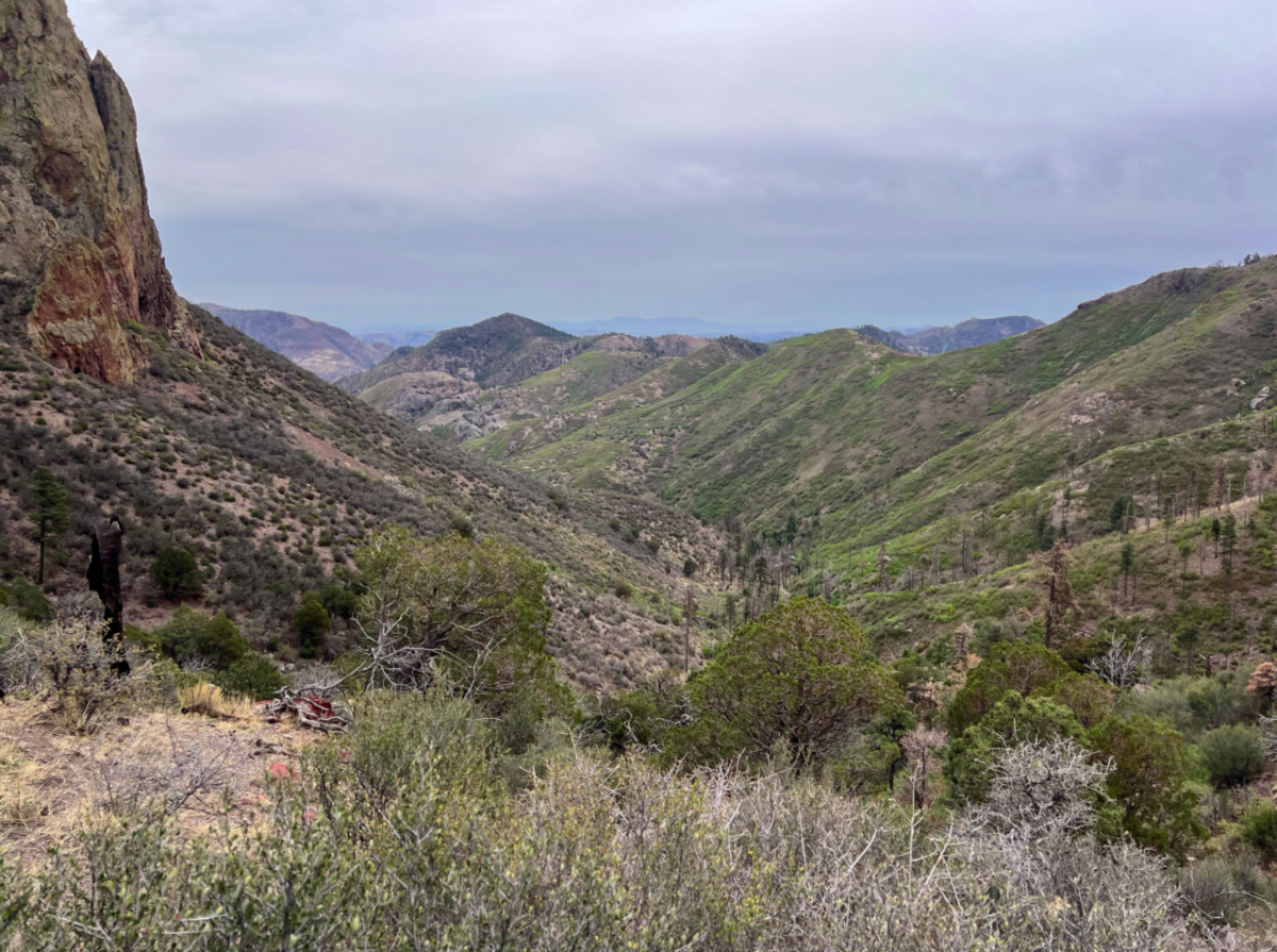
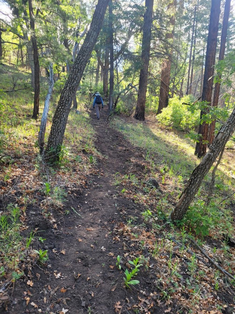
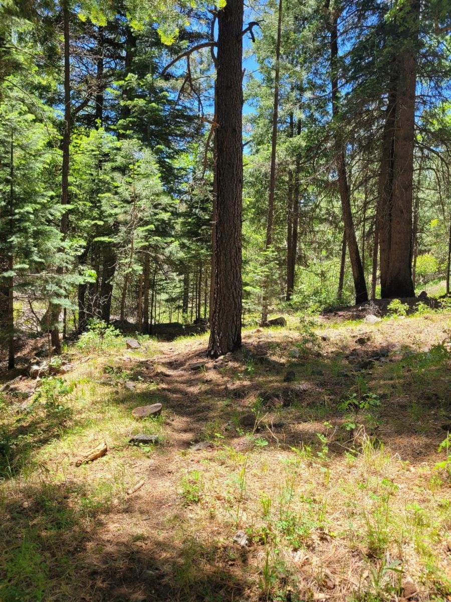
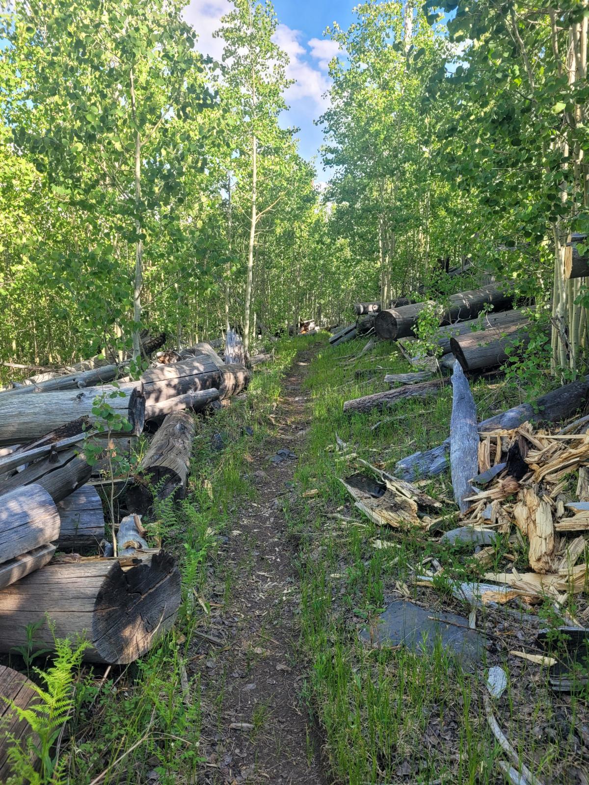
From there, the trail travels up the canyon, climbing slightly above the creek bed to stay clear of repeated flood waters. Much of this 5-mile stretch is through live trees, though you'll encounter short sections of burned forest requiring extra care.
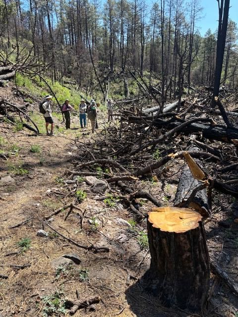
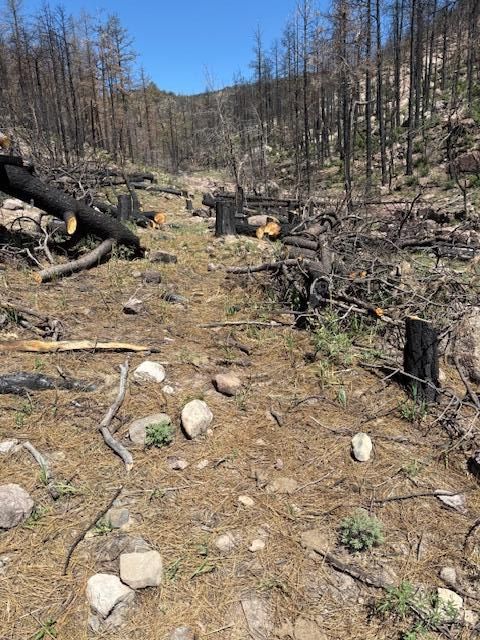
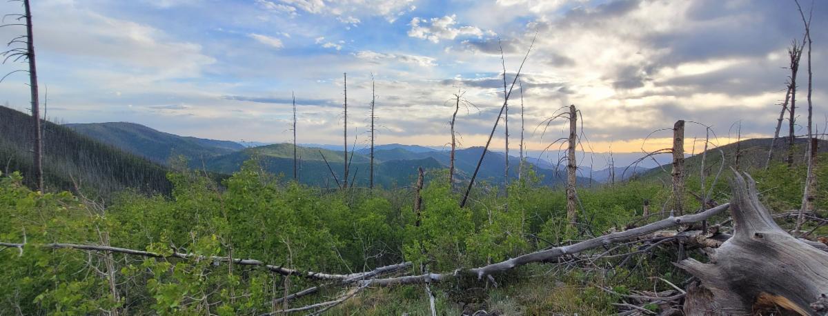
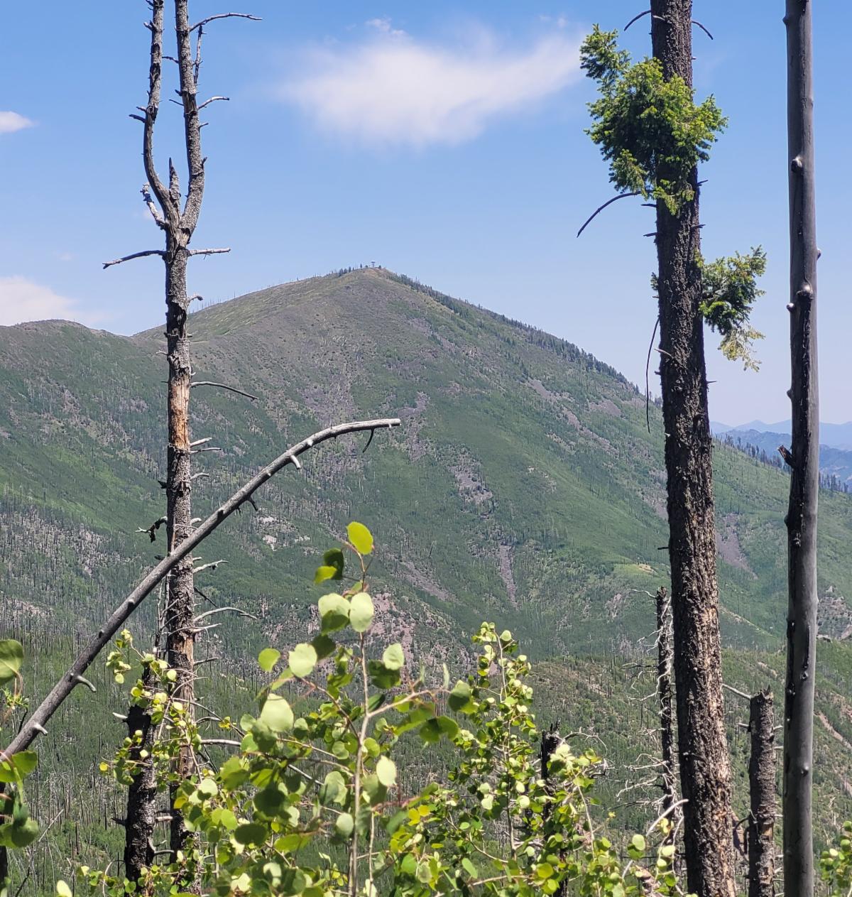
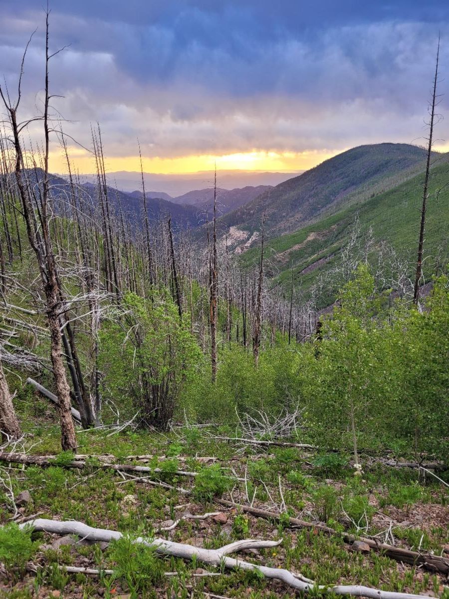
At mile 5.1, our maintenance work stops. Here, a large spring cascades down the hillside over the trail, and looking up-canyon reveals a landscape of dead standing trees as far as the eye can see.
Due to safety hazards, we could not continue work beyond this point.
The next 0.7 miles is complete high intensity burn and the tread is faint—visible only to those with a trained eye or those who have spent months working this trail and know every bend. Note the trail is incorrectly mapped on most maps in this section and up to the Notch so do no rely on the red dotted line to find your way. After this there is the relief of seeing a few live trees on a ledge that the trail travels by. Another ¼ mile beyond brings you to the Notch and a large waterfall. Travel at your own risk.
|