|
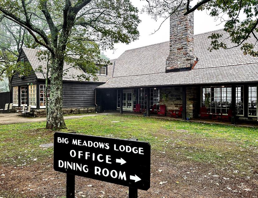
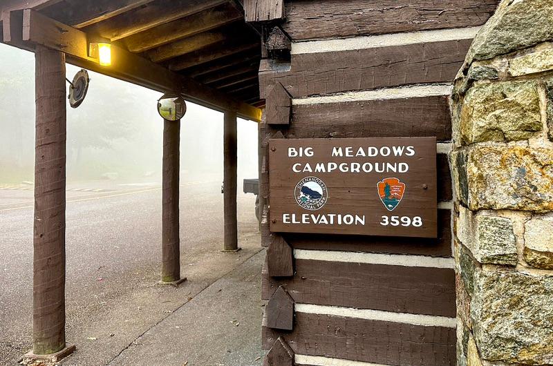
This was our last marathon driving day until we return home around Thanksgiving. We had 258 miles of mountain roads to traverse before reaching our first base camp in the Shenandoah National Park. There isn’t a straight shot from Ryerson State Park Campground to Big Meadows National Campground in Shenandoah. I forgot to download a google map for this area for offline mapping and there was ZERO signal at Ryerson and the surrounding area. So, we just found a road running east and hoped for the best. As we topped one mountain, a signal kicked in and google laid out a brutal but scenic route of back roads through tiny mountain towns. At one gas station with a strong cell signal, I downloaded the map I needed.
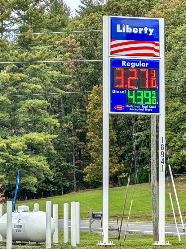
Starting in Pennsylvania, we passed through West Virginia, Maryland, then back through West Virginia, and finally Virginia. The gas prices kept getting lower along the way. The price went from $3.69 to $3.27 over the course of the day. Gas mileage on these roller coaster roads sunk to 12 mpg.
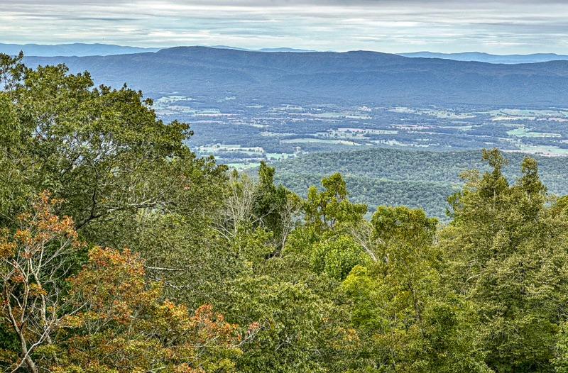
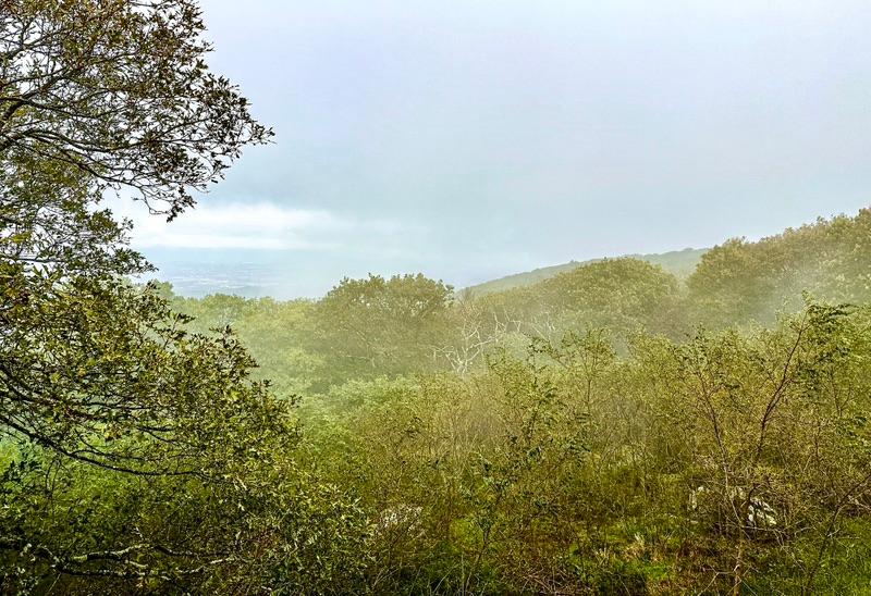
The lush green rugged mountain vistas were gorgeous, but many of the mountain towns and villages were sadly depressed. It reminded me of the Ozarks. The mountain men were stereotypically bearded and blue-jeaned working men. All that I encountered, mostly at gas stations, were very friendly and called me “buddy” as they opened doors for me.
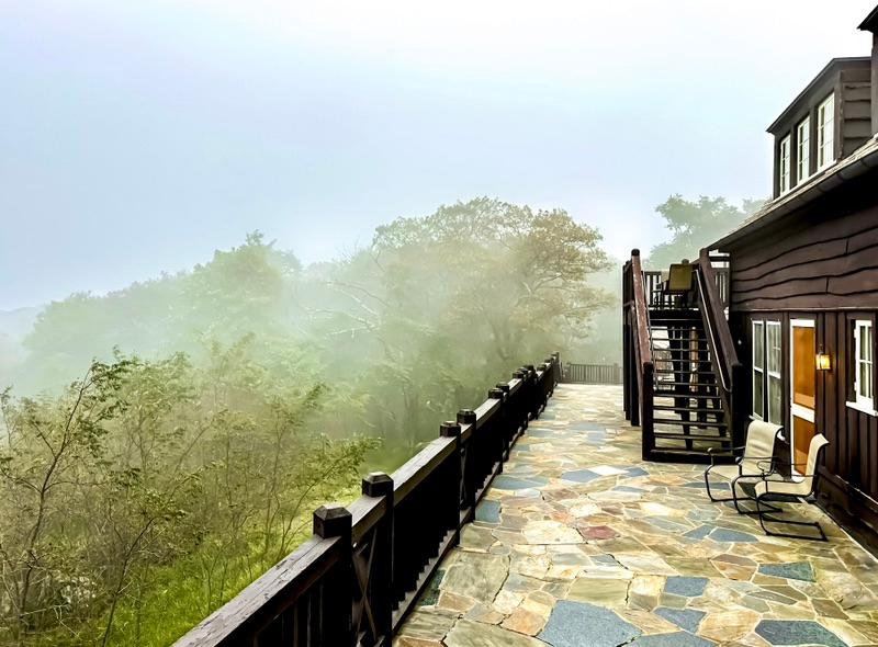
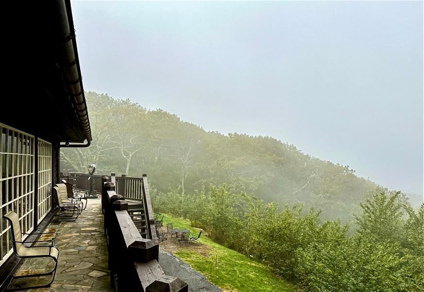
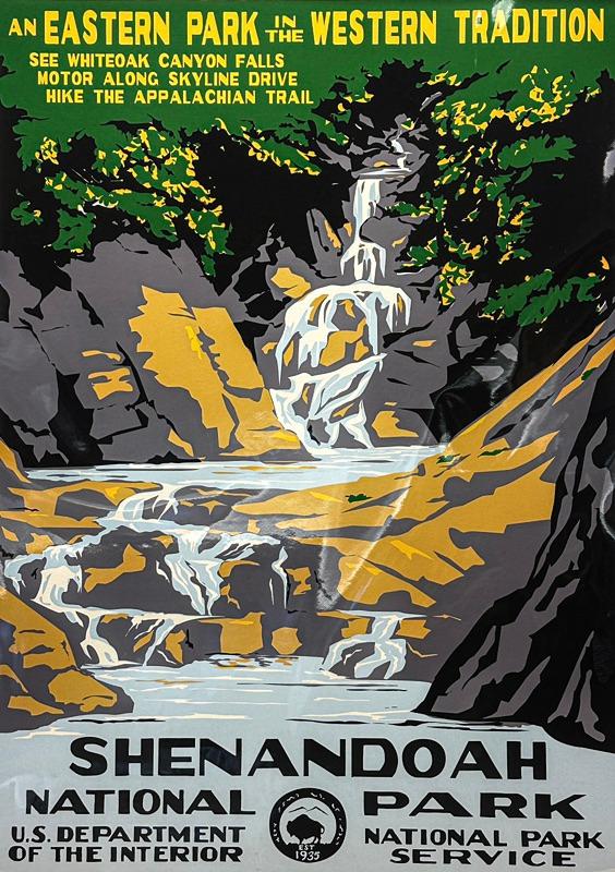
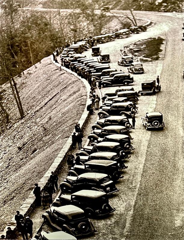
Skyline Drive, a National Parkway, runs north-south along the top ridge of the mountains through Shenandoah National Park. It is basically the northernmost extension of the famous Blue Ridge National Parkway. These roads are superb. They have very limited access. Skyline Drive spans a good 100 miles and only has four access points. There is no development, save the occasional overlook, hiking trailhead, and campground. It does cost a hefty $30 to access the road, however, that may be good for a 7-day pass. I didn’t pay much attention to the fees because our national senior discount card got us in for free.
|