|
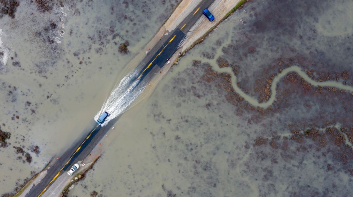
The California King Tides Project dates are coming up next month! We need your help to photograph extreme high tides on January 11 & 12 and February 9. You can find local King Tide times, browse King Tide photos, and find resources for educators and parents on the California King Tides Project website.
It's easy to participate in this community science project. 1) Find your local high tide time for one of the King Tides dates; 2) visit the shoreline on the coast, bay, or Delta, and notice your surroundings to ensure you are safe and are not disturbing any animals; 3) make sure your phone's location services are turned on for your camera and then take your photo. The best photos show the water level next to landmarks such as cliffs, roads, buildings, bridge supports, sea walls, staircases, and piers. 4) Upload your photo! Our photo upload form includes instructions in both English and Spanish.
Please note that there is some variation depending on location (California is a big state!). Be sure to take a look at your location on our tides map before you decide what day/s to participate. Also, be aware that storm swells can cause the tides to be even higher; you can check swell forecast here.
Students and Teachers: Middle and high school students are invited to create a short video for our Climate Video Challenge. Entries can be submitted now through May 31st. King Tides is a great opportunity to think about how our communities are addressing sea level rise and get video footage. Learn more.
Is your community hosting an event for King Tides? Please let us know! Check the website for events happening in Hayward and East Palo Alto, with more to be posted soon.
Your photos are important data for planners, researchers, and students in your community and for the State of California and beyond! They help us understand what's vulnerable to flooding today, plan for future sea level rise, and get us all talking and thinking about the impacts of the climate crisis and what we can do to make a difference. The California King Tides Project is only successful with your participation. Thank you for your help!
|