September 2026

If We Don't Measure Change, How Do We Measure Success?


Across the country, significant resources are invested every year to protect and restore rivers, streams, and aquatic habitat. Projects are implemented to stabilize streambanks, improve habitat, restore aquatic vegetation, reduce pollutant loads, remove barriers, and address countless other water resource challenges.


But completing a project and measuring its success are two very different things.

Too often, monitoring begins and ends within the boundaries of an individual project. Conditions are documented at a handful of locations before construction, followed by periodic observations after the work is complete. These measurements can provide valuable information about a specific site, but they do not always tell us how the larger river system responded.


Without a comprehensive baseline, even a successful project can be difficult to evaluate over time.

Did habitat improve? Did aquatic vegetation expand or decline? Did channel conditions change? Were improvements limited to the project area, or did they extend farther downstream? And perhaps most importantly, what can we learn from one investment that will help determine where the next dollar should be spent?


Answering those questions requires more than documenting that a project was completed. It requires measuring change. This is where long-term, repeatable datasets become especially valuable. High Definition Stream Survey (HDSS) creates a continuous record of river conditions that can be returned to years later. Because video, depth, sonar, water quality, habitat, and other stream corridor information are tied to precise geographic locations, future surveys can document the same river using the same framework.


The result is not simply another survey. It is the ability to compare conditions through time.

That distinction is important. A baseline provides immediate value for planning, prioritization, and decision-making, but its value continues to grow when the same system is surveyed again. Agencies can begin documenting where conditions are improving, where they are declining, and how rivers are responding to restoration projects, extreme weather, changing land use, infrastructure improvements, and other influences.


That information can then inform the next round of investment.

Instead of evaluating individual projects in isolation, managers can begin asking which approaches are producing measurable results across the larger system. Successful strategies can be expanded, priorities can be adjusted, and limited funding can be directed toward locations where it can have the greatest impact.


Monitoring should not simply tell us what happened. It should help us decide what to do next.


A New Long-Term HDSS Program for Florida's Springs


We are excited to announce that the St. Johns River Water Management District (SJRWMD) has selected Trutta Environmental Solutions to support an expanded scientific monitoring program for some of Florida's most iconic springs.


The new program will use High Definition Stream Survey to map and monitor Alexander, Blue, Juniper, Rock, Salt, Silver, Silver Glen, and Wekiwa springs and their spring runs. The surveys will collect detailed information about channel conditions, water quality, aquatic vegetation, substrate, and other environmental characteristics while establishing a consistent baseline for future monitoring.


What makes this project especially exciting is that it is not intended to be a one-time snapshot.

By returning to these systems over time, the District will be able to evaluate long-term trends and document how spring and spring-run conditions change. That repeatability creates an opportunity to move beyond simply describing current conditions and begin building a long-term record that can support future management decisions.


This program also builds upon our previous work with the District in the Wekiva River system, where HDSS demonstrated how continuous data collection can provide a detailed understanding of aquatic vegetation, habitat, water quality, and stream corridor conditions across an interconnected river system.


Florida's springs are extraordinarily valuable natural resources, and protecting them requires an equally strong understanding of how they are changing. We are proud to partner with SJRWMD on a program designed not only to establish that understanding today, but to continue building it for years to come.


Learn more about the project:

https://www.sjrwmd.com/2026/08/district-expands-scientific-monitoring-of-florida-springs/


Wekiva River HDSS Webinar: Focus on Eelgrass Mapping and Habitat Suitability Modeling

https://youtu.be/v3NSHQ_Df08?si=upGqdKN2sl80NQ_R

Meet the Team

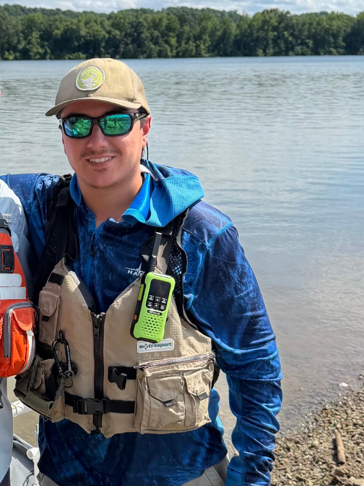
Nico Malagon


Nico Malagon grew up in East Tennessee, where rivers and streams have been part of his life for as long as he can remember. He earned his bachelor’s degree in geography from the University of Tennessee, focusing on physical geography and environmental change.


With a particular interest in fluvial geomorphology and river dynamics, Nico enjoys combining his passion for rivers with his work at Trutta, where he helps collect and analyze data to assess stream conditions.


Outside of work, Nico can usually still be found on the water—paddling, fly fishing, or simply enjoying the scenery. He is excited to be part of the Trutta team and looks forward to exploring many more rivers and streams through future projects.

 
LinkedIn  Facebook  Instagram

TRUTTA ENVIRONMENTAL SOLUTIONS, LLC| INFO@TRUTTASOLUTIONS.COM | 419.215.7897