|
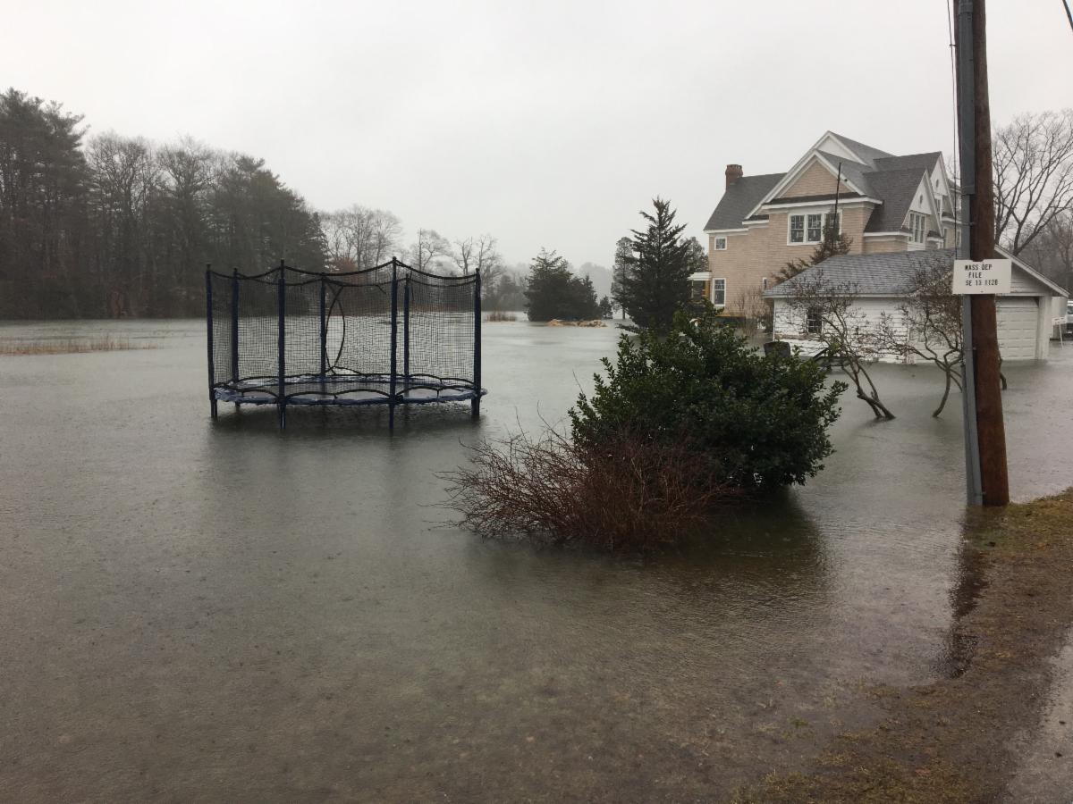
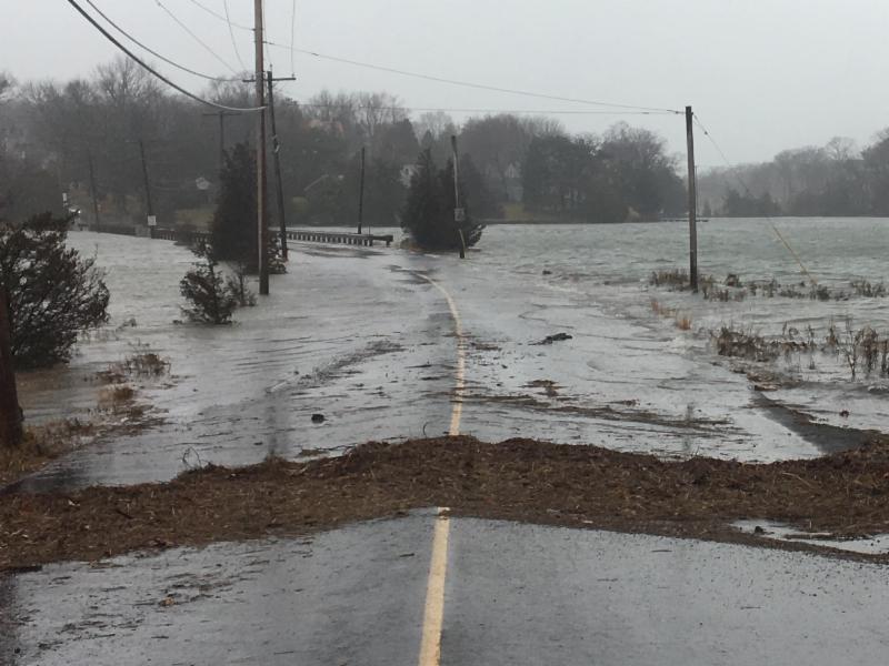
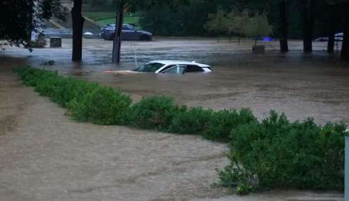
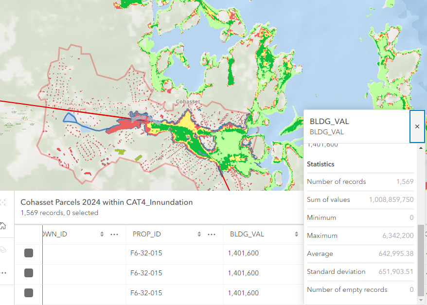
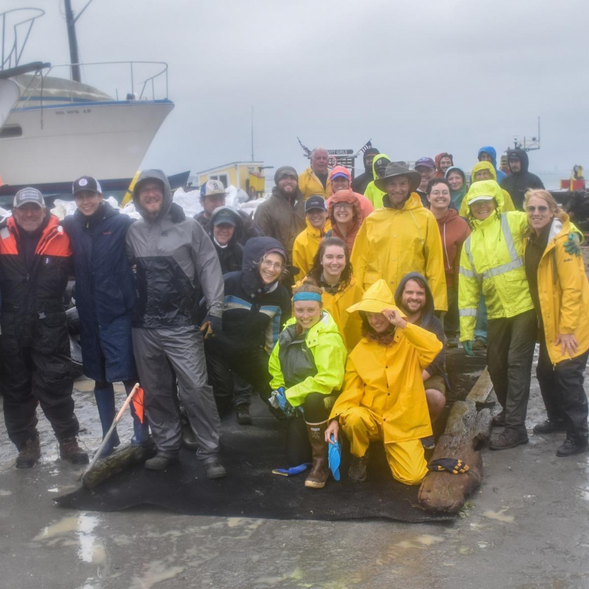
We lament the loss of life attributable to Hurricane Helene. As we reflect, we surely appreciate our relative safety in Massachusetts. Our lived lives and photos, however, inform us that we are equally vulnerable. And we can't help but ask (as we should to prepare), what might a Category 4 hurricane look like for us?
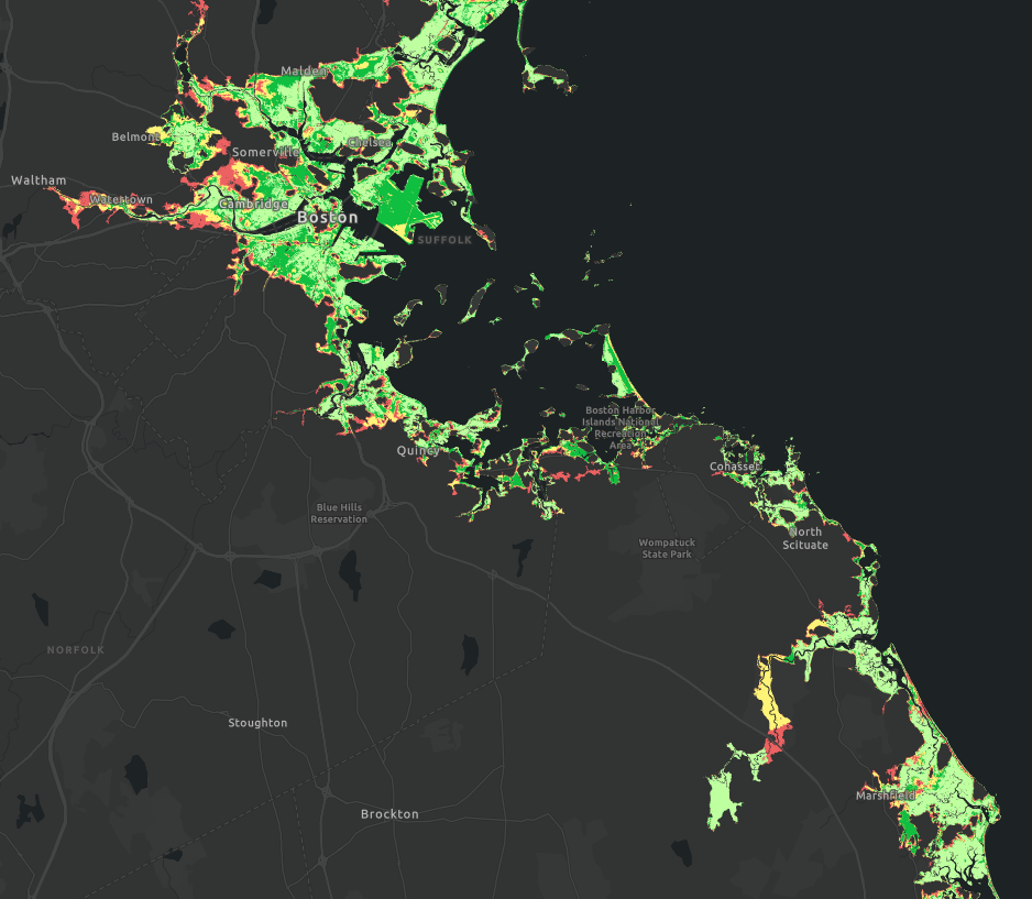
We map to see the answer, as we state in the title. We Map2See because it resonates with our inherently natural capacity to navigate daily life. Mental maps we've built through scores of routine experiences keep up from getting lost.
In this newsletter, therefore, we highlight our spatial intelligence. To do so, we call attention to the power of GIS (Geographic Information Systems).
We look at the serious task of mapping to see the extent of damage we might experience should a category 4 hurricane make landfall in our home. GIS mapping and analysis tools enable us to see the places (and people) we love and want to protect.
We also call attention to the educational benefits that accrue to students and communities that teach and learn with GIS. Students of all ages, K - Gray as they say, become empowered with skills, knowlege, and confidence to engage as change agents in the local community.
|