|
At 1 am on the dot, as promised by all of our weather apps, a bright flash followed by an instantaneous crack threw me out of bed. Well, maybe I am exaggerating about being thrown from bed, but the flash and thunder were real, and it heralded an all-night storm of epic power and fury. The rain pounded continuously, producing another flurry of weather app notifications - this time for flash floods.
We were snug and dry in our miniature home, but we didn’t get much sleep with all that flashing and banging. I was worried about the dry gulch just 25 feet away from us. What if it roars with floodwaters during such a storm?
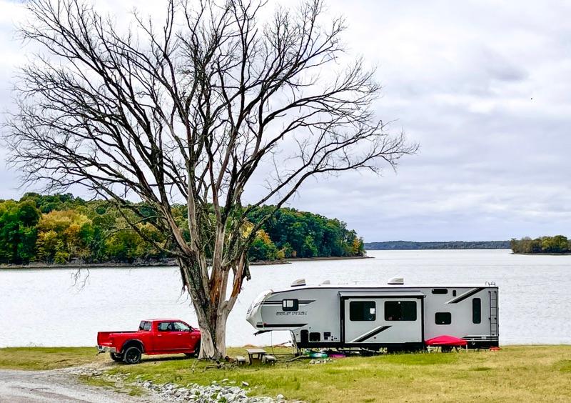
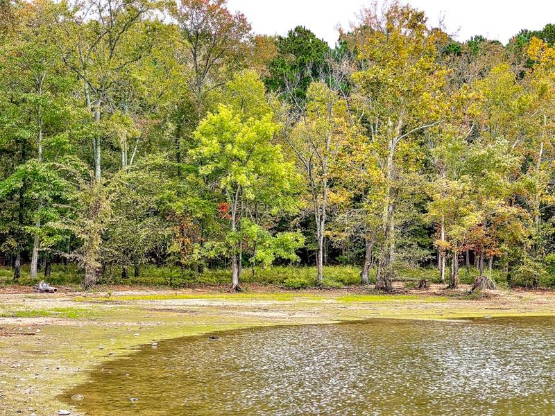
At first light, the storm finally rumbled away. I checked the creek bed. It was dry. At least we weren’t swept down into the Tennesee River. The campground was pretty muddy, but the gravel site that we picked was in perfect shape.
The day, however, broke heavy with a thick dark overcast, 25º colder than yesterday, and a stiff biting wind. I guess the beach is out for today.
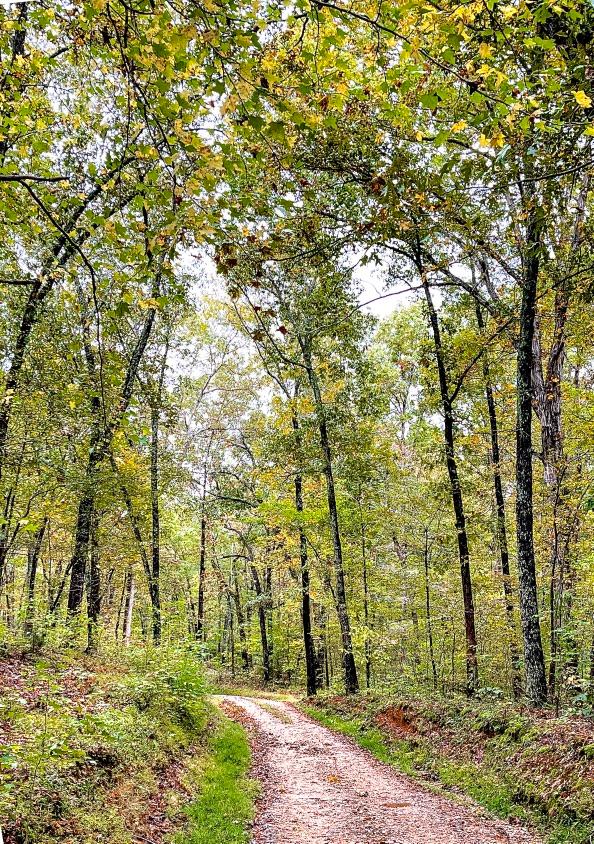
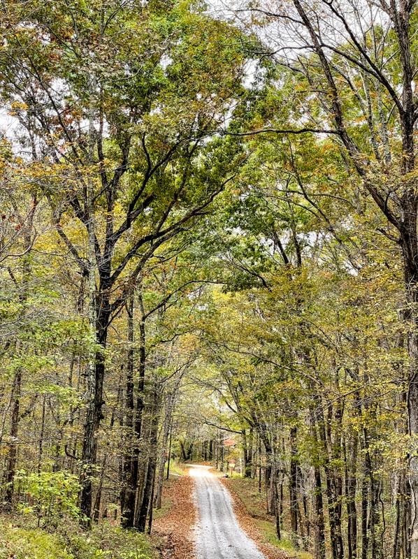
An intricate web of forest roads ties the LBL together. These roads emanate east and west from the main north-south highway, the Woodlands Trace National Scenic Byway, that bisects the long narrow forest. (I love those long descriptive names.)
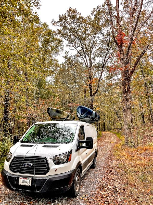
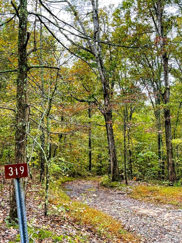
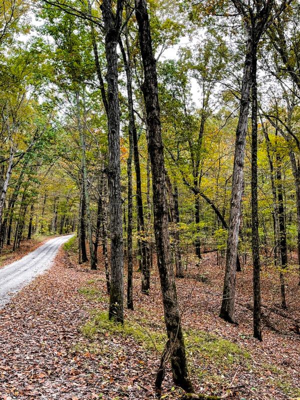
We headed up the Byway to try out a whole bunch of the forest roads. A similar network of forest roads exist in the National Forests in Wisconsin, so I thought I knew what we are getting ourselves into. Not exactly. These roads are more primitive, some requiring ATVs. The roads seem to be ordered in a three-level hierarchy. The better ones, gravel but two-lane, intersect directly with the Byway. Very rough single-lane roads emanate from them. Badly rutted dirt paths are attached to the single-lane roads. All roads, no matter what their condition, are officially numbered.
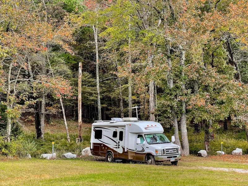
We checked out all the campgrounds in this northwestern quadrant of the LBL. The Basic campsites were the most diverse and interesting. For $50 per year, you can camp just about anywhere you want as long as you’re not blocking a forest road. In practice, there weren’t too many places available. The topography is primarily steep hollows. You wouldn’t want to take a trailer down many of the rougher roads. And the forest is thick, offering precious few clearings to set up. There are some open areas down by boat landings that offer Basic camping. We found one. A large open area with a vault toilet gave campers the ability to plop down anywhere. The trouble was, it was hard to find level ground. Still, we saw two RVs that had successfully set up shop.
The Self-service campgrounds, at $10 per night, were also intriguing. We visited three of them. They were laid out in an odd fashion, similar to our Fenton Campground. Some sites were roomy and level. Some were ridiculously tiny and practically hanging off cliffs. The roads in the campgrounds were also iffy. Some loops were approachable. Others were so rutted from runoff rainwater that you’d have to build a bridge to get over the ruts. There were no campers in any of these campgrounds.
Lastly, we toured Hillman Campground, a Developed campground. It is a vast gated community. We had to get a 30-minute pass to enter. The three loops each had 100s and 100s of sites. Some sites had water, electric, and sewer hookups. Others were water and electric, and some were solely electric. There were also some boondocking sites. The sites with amenities were nicely set up but a bit too close together for my taste. The boondocking sites were usually more spread out but not very level.
As I speculated, all the big boys were here. About 75% of the sites with amenities were filled. The gatekeeper assured me that, come the weekend, it will be packed.
The gated thing is fine, but there was one aspect of it that irked me. Hillman has a vast network of trail loops. Each loop is about 2 or 3 miles long. Each have their own trailheads that you can drive to. Theoretically, you can pick and choose which loops to walk.
The problem is, to get to the trailheads, you have to get past the gate, which they won’t let you do unless you are camping there. The gatekeeper told me that we could park outside the gate and walk in. Great, but that only gets us to the one trailhead close to the gate. Unless we were inclined to hike about 20 miles, we could only access the one closest loop. That didn’t seem right.
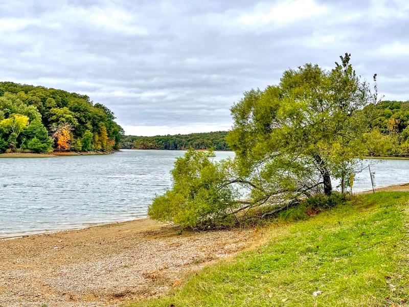
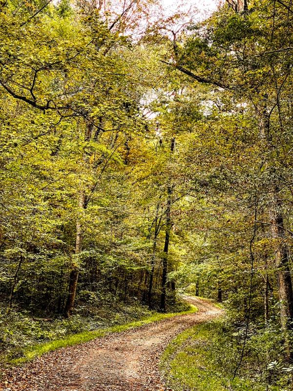
Despite all my quibbles, the forest is the real star here. The entire LBL is a grand mixed woodland that oozes solitude, calm, tranquility...... Whether driving, hiking, or biking, the LBL slows the world down to a manageable pace. You can’t beat that.
|