Twitter  Youtube  Linkedin  

End of Year Well-Wishes from NASA Harvest

As the year comes to an end, we want to take a moment to thank you for staying connected to NASA Harvest and for following our work. Your attention and support matter. As we use satellite data to assess how crops around the world are growing; how changing conditions are shaping farming decisions; and how we can provide actionable information to help inform decisions and policy, your engagement helps our work continue.


This past year underscores why our work remains essential. Weather extremes have tested farmers around the world. Markets have shifted in ways that impacted producers and consumers alike. Governments and decision makers rely on accurate and timely information to understand these pressures and act accordingly. Satellite observations, combined with field data and on-the-ground partnerships, are one of the few ways to reliably track these pressures at the speed and scale necessary. Our role at NASA Harvest is to translate that knowledge into insights and tools that can support local, national and international efforts to improve agricultural production and food supply.


NASA Harvest, and our sister consortium NASA Acres, carry out our roles through applied research, open data products, and collaborations with universities, space agencies, humanitarian organizations, and government institutions. Our work is often highly technical, but our purpose is simple: to give people the information they need to protect crops, livelihoods, and food systems.


Going into the New Year, we remain committed to our mission. We will continue to improve our tools, strengthen our partnerships, and expand the reach of Earth observation-informed agriculture. There is still much to learn and plenty of real world value to deliver. We are looking forward to sharing more of that progress with you in the coming year. 


Thank you for being a part of this community. We wish you a happy end to the year and a good start to the next!


Inbal Becker-Reshef

Chris Justice

Co-Directors, NASA Harvest


NASA Harvest's Top News Stories of 2025

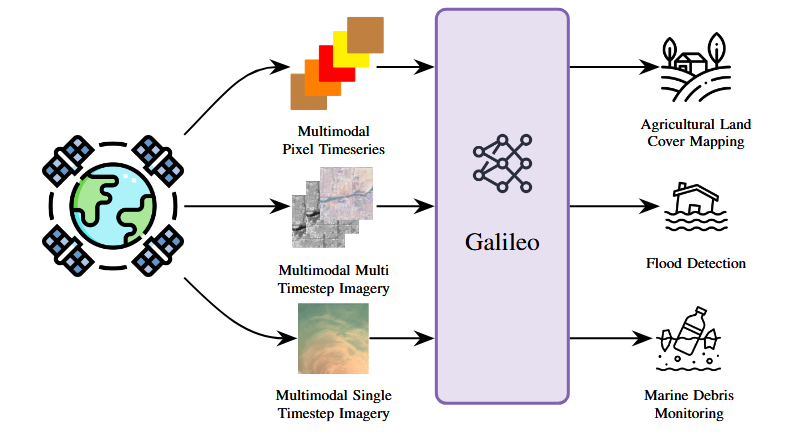
How Galileo is Advancing NASA Harvest’s Mission to Safeguard Our Planet

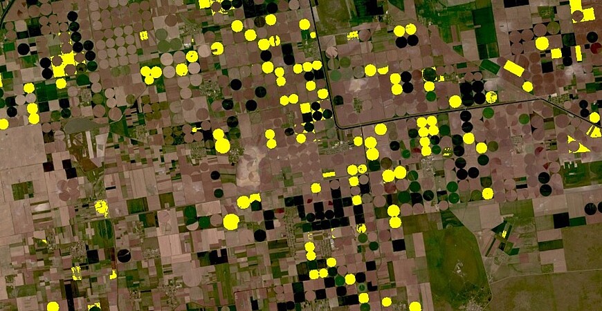
AI2 and NASA Harvest are proud to announce Galileo, a powerful new remote sensing mapping tool developed with our partners to analyze many types of satellite data at once. Galileo helps us better monitor farms, floods, and more, giving a clearer picture of Earth’s changes.

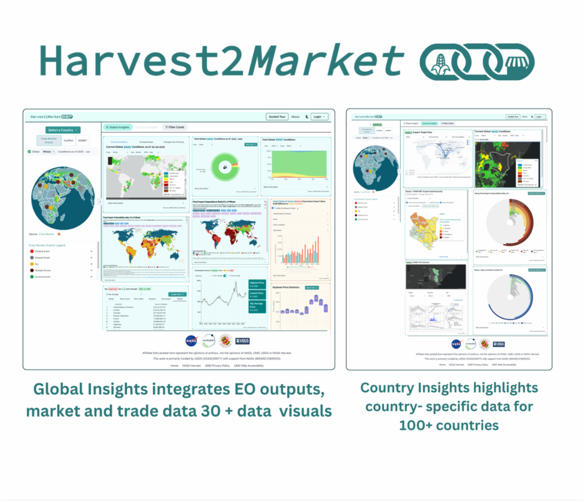
Launch of Updated Harvest2Market Agricultural Supply Chains Monitoring Tool

NASA Harvest has launched our updated Harvest2Market tool, designed to monitor agricultural supply chains and link global food production to markets. Powered by satellite data and advanced models, the platform tracks crops, trade flows, and risks, providing insights to strengthen food security, resilience, and decision-making worldwide.

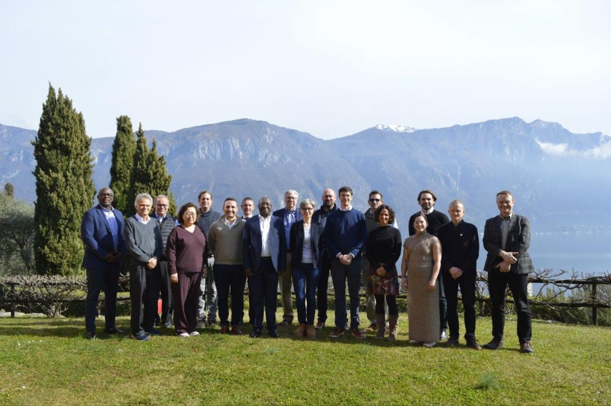
UMD-Led Team to Create New International Center for Rapid Agricultural Assessments

NASA Harvest is launching the RAAPID Center to deliver rapid, data-driven agricultural assessments during crises. Supported by Google.org, Microsoft, and international partners, RAAPID will integrate satellite technology and advanced analytics to provide timely, trusted insights that strengthen food security and inform decision-making worldwide.

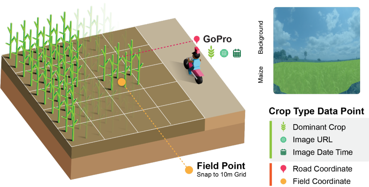
Helmets Labeling Crops: A New Frontier in Agricultural Monitoring

NASA Harvest researchers have introduced an inventive approach to agricultural monitoring: field agents equipped with helmet-mounted GoPro cameras capture geotagged images of crops, later analyzed through deep learning. This low-cost, scalable technique enables rapid, reliable crop mapping, bridging on-the-ground observation and satellite data to strengthen food security efforts worldwide.

Presto: A Smarter Way to Use Satellite Data to Help Farmers

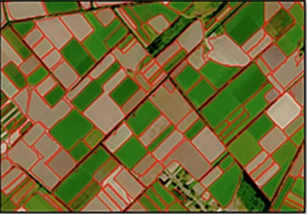
NASA Harvest and AI2's Gabi Tseng recently presented Presto, a cutting-edge AI tool, at ESA’s WorldCereal webinar. Presto uses satellite data and self-supervised learning to create accurate crop maps—even in data-scarce regions—empowering farmers, researchers, and policymakers worldwide.

NASA Harvest to Tackle Food Security as Part of Google.org's AI Collaborative 

NASA Harvest has joined Google.org’s AI Collaborative: Food Security, a global effort to harness AI for tackling hunger. With this new funding, NASA Harvest will expand its use of satellite data and AI to predict food shortfalls earlier, strengthen agricultural resilience, and provide rapid assessments of crises caused by extreme weather, conflict, or market shocks.

Mapping Ukraine’s Fields from Space: A New Tool for Food Security

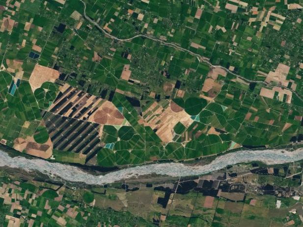
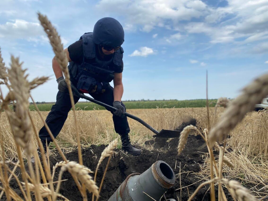
A new NASA Harvest tool maps Ukraine’s fields from space to track crop health and planting areas. Using satellite data, it gives real-time insights into food production during conflict. This reliable information supports better decisions by farmers, governments, and aid groups working to strengthen food security in Ukraine and beyond.

Detecting Flood Damage to Agricultural Land in Texas Hill Country

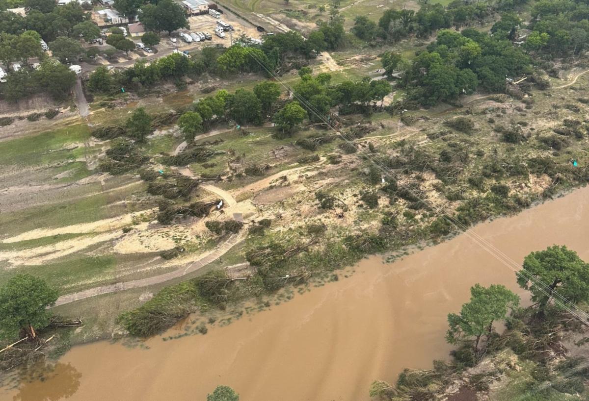
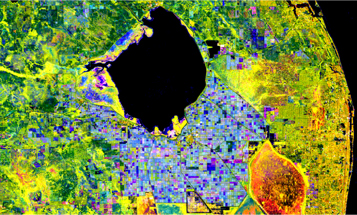
Severe flooding in Texas Hill Country claimed lives and damaged property across the region. In response, NASA Harvest and NASA Acres teamed up to use satellite radar and optical imagery combined with cropland data to map agricultural impacts. This analysis revealed the scale of disruption to farmland, providing timely insights to guide recovery efforts and strengthen resilience for farming communities facing future extreme weather.

Why Ukraine’s 2025 Harvest Matters and How NASA Harvest is Measuring It from Space

NASA Harvest is tracking Ukraine’s 2025 grain harvest from space to provide accurate estimates amid conflict‑driven data gaps. Using satellite imagery and modeling, the effort assesses planted area, yield and harvest status in free and occupied areas, offering vital insight for food security and global markets.

Monitoring Crops from Space: How NASA Harvest Tracks Agriculture in Conflict Zones Like Tigray, Ethiopia

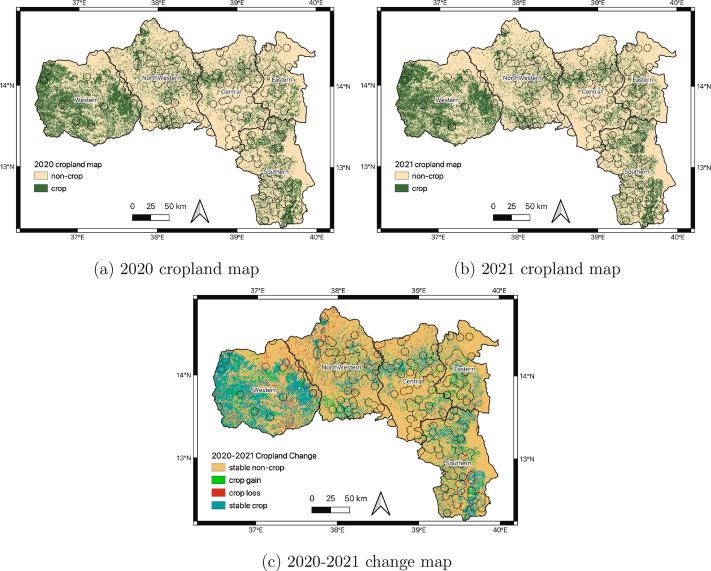
NASA Harvest is using satellite data to track crops in conflict-affected areas like Tigray, Ethiopia. By monitoring farmland from space, we can spot potential food shortages early and help guide humanitarian aid. This work shows how Earth observations support vulnerable communities and strengthen global food security even in challenging regions.

NASA Earth Observatory: How to Rotate Crops

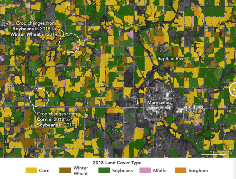
New research from NASA Harvest partners at Stanford University shows that rotating crops, such as corn and soybeans, can increase yields by up to 8 percent. Using satellite data, the team demonstrated how this sustainable practice can improve productivity and resilience across diverse farming systems worldwide.

NASA-ISRO Mission Will Map Farmland From Planting to Harvest

A new NASA–ISRO mission called NISAR will map farmland from planting through harvest using advanced synthetic‑aperture radar. Launching in mid‑2025, it will monitor soil moisture, crop health, and growth at field‑level resolution. The data—updated every 6–12 days—will help farmers worldwide optimize planting and irrigation timing.

Understanding Drought in Afghanistan: How ENSO Helps Us Predict Food Crises

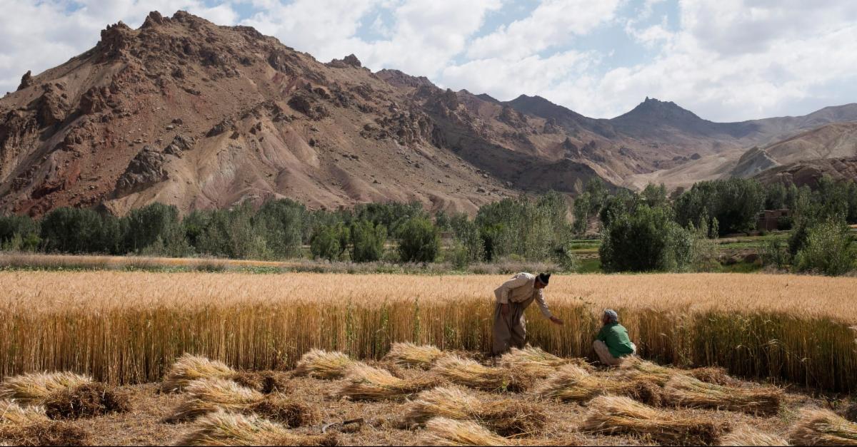
New research shows how La Niña events increase the risk of drought and reduce wheat harvests in Afghanistan. By connecting global weather patterns to local farming outcomes, the study highlights how early warnings can help communities better prepare for food crises.

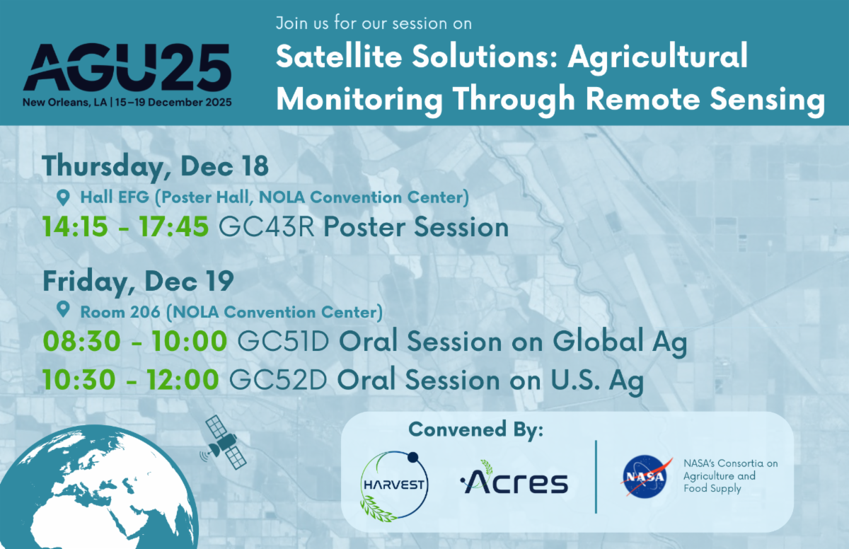
See you at AGU!